Raise
Settlement in Cumberland Eden
England
Raise
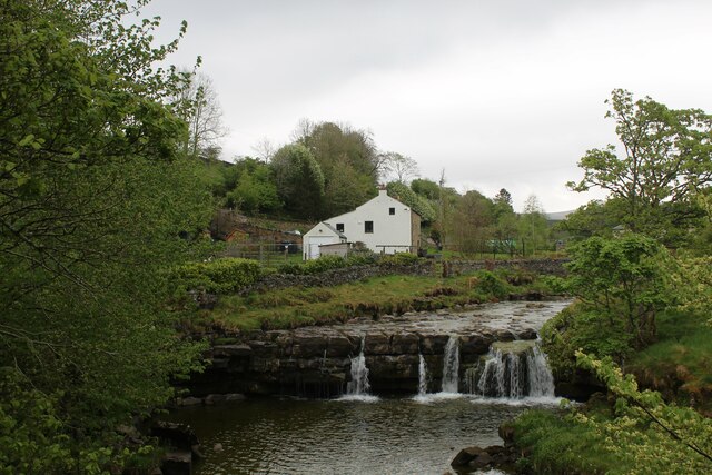
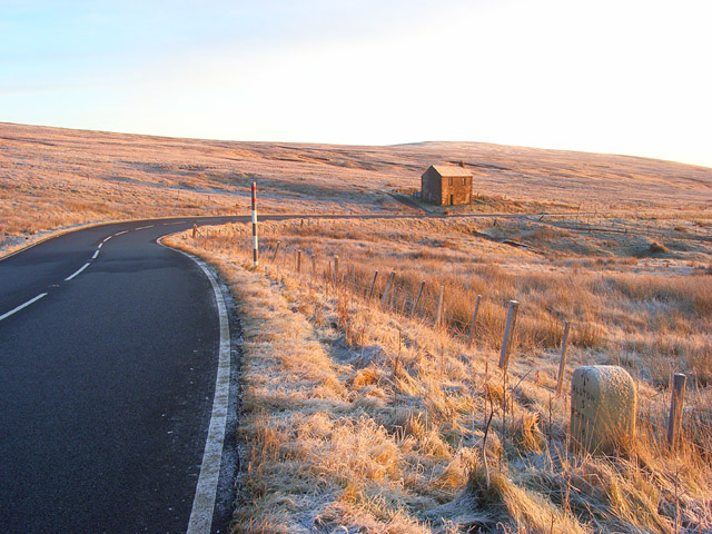
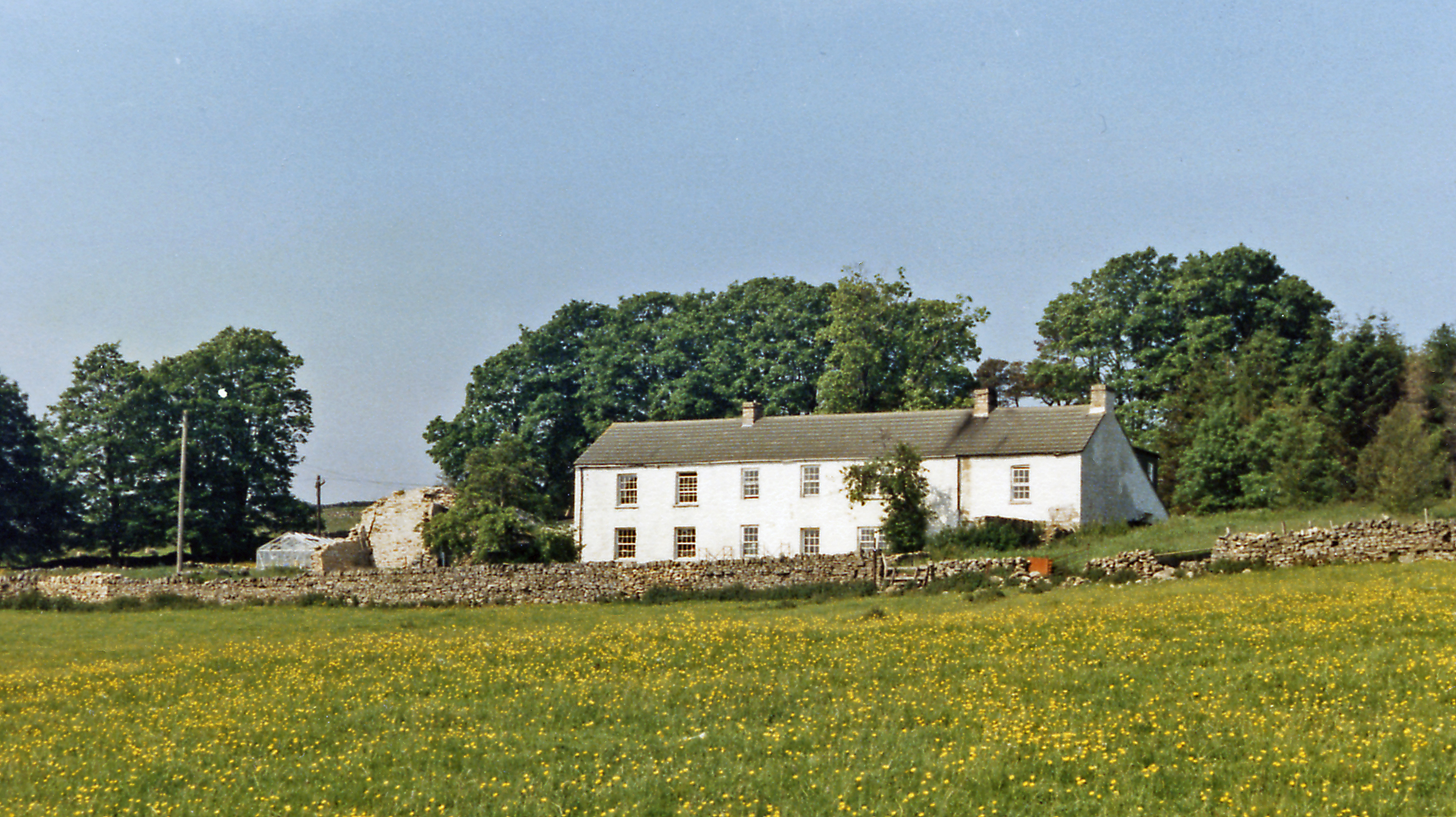
Raise, Cumberland is a small hamlet located in the county of Cumbria, England. Situated in the northern part of the Lake District National Park, Raise is surrounded by picturesque landscapes and offers a tranquil retreat for nature enthusiasts and hikers.
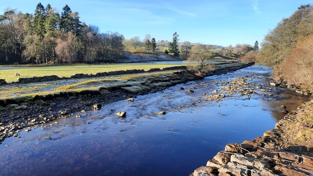
At an elevation of approximately 880 meters (2,890 feet) above sea level, Raise is known for its breathtaking views of the surrounding mountains and valleys. One of its prominent features is Raise Beck, a stream that flows through the hamlet, adding to its natural charm.
Historically, Raise was primarily a mining community, with lead and zinc being the main minerals extracted from the nearby mines. However, mining operations ceased in the mid-20th century, and today, the hamlet is mainly inhabited by a small number of residents and a few holiday homes.
Raise serves as an excellent starting point for various outdoor activities, including hiking, mountain biking, and birdwatching. The nearby Helvellyn mountain, one of the highest peaks in England, attracts many climbers and offers stunning panoramic views from its summit.
While Raise itself does not have any significant amenities or facilities, the nearby town of Keswick provides all necessary services, including accommodation options, restaurants, and shops. Visitors to Raise can also explore the surrounding areas, such as Thirlmere Reservoir and the picturesque villages of Grasmere and Ambleside, which are within a short drive.
If you have any feedback on the listing, please let us know in the comments section below.
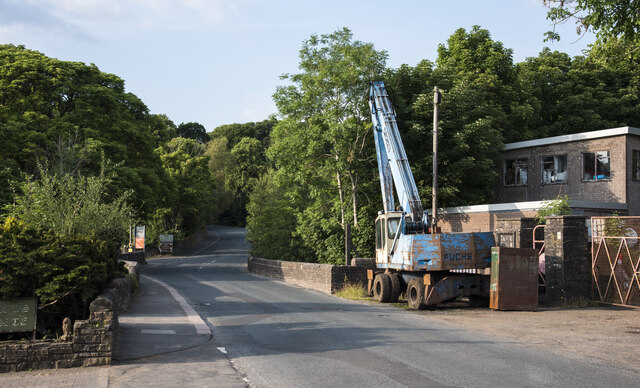
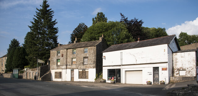
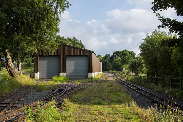
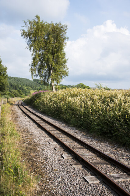
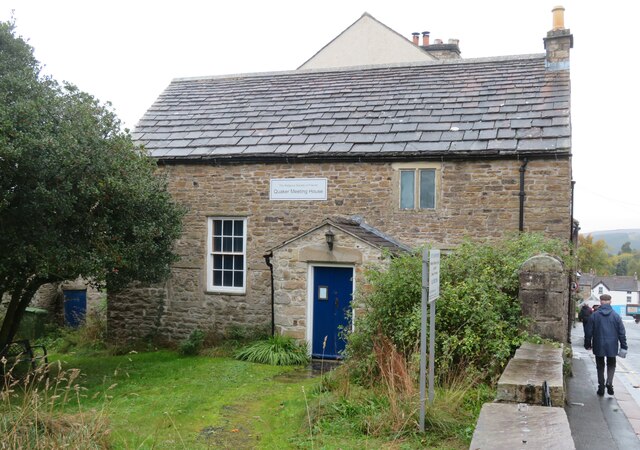
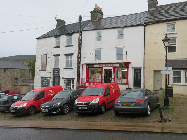
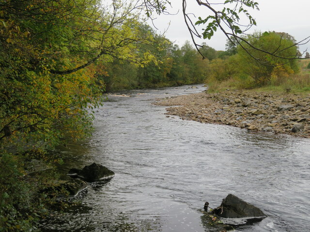
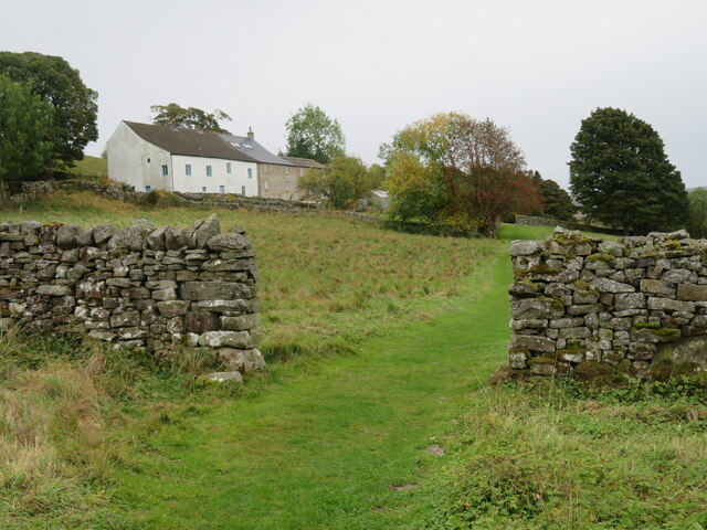
Raise Images
Images are sourced within 2km of 54.810301/-2.448851 or Grid Reference NY7146. Thanks to Geograph Open Source API. All images are credited.
Raise is located at Grid Ref: NY7146 (Lat: 54.810301, Lng: -2.448851)
Administrative County: Cumbria
District: Eden
Police Authority: Cumbria
What 3 Words
///rely.amuses.couriers. Near Alston, Cumbria
Nearby Locations
Related Wikis

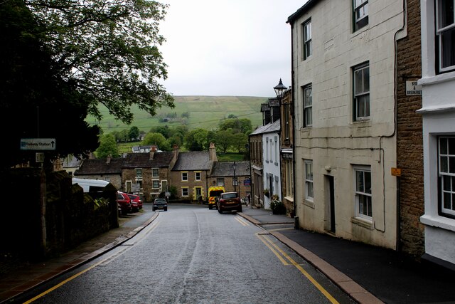
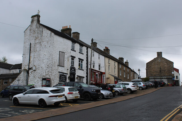
Alston, Cumbria
Alston is a town in Westmorland and Furness, Cumbria, England, within the civil parish of Alston Moor on the River South Tyne. It shares the title of the...

Alston Moor
Alston Moor, formerly known as Alston with Garrigill, is a civil parish and electoral ward in the Westmorland and Furness district, in the ceremonial county...

Samuel King's School
Samuel King's School is a mixed secondary school located in Alston in the English county of Cumbria. As of 2017 it had 73 students on roll. It is a comprehensive...

Alston Town Hall
Alston Town Hall is a municipal building in Front Street, Alston, Cumbria, England. The town hall, which is currently used as a public library, is a Grade...
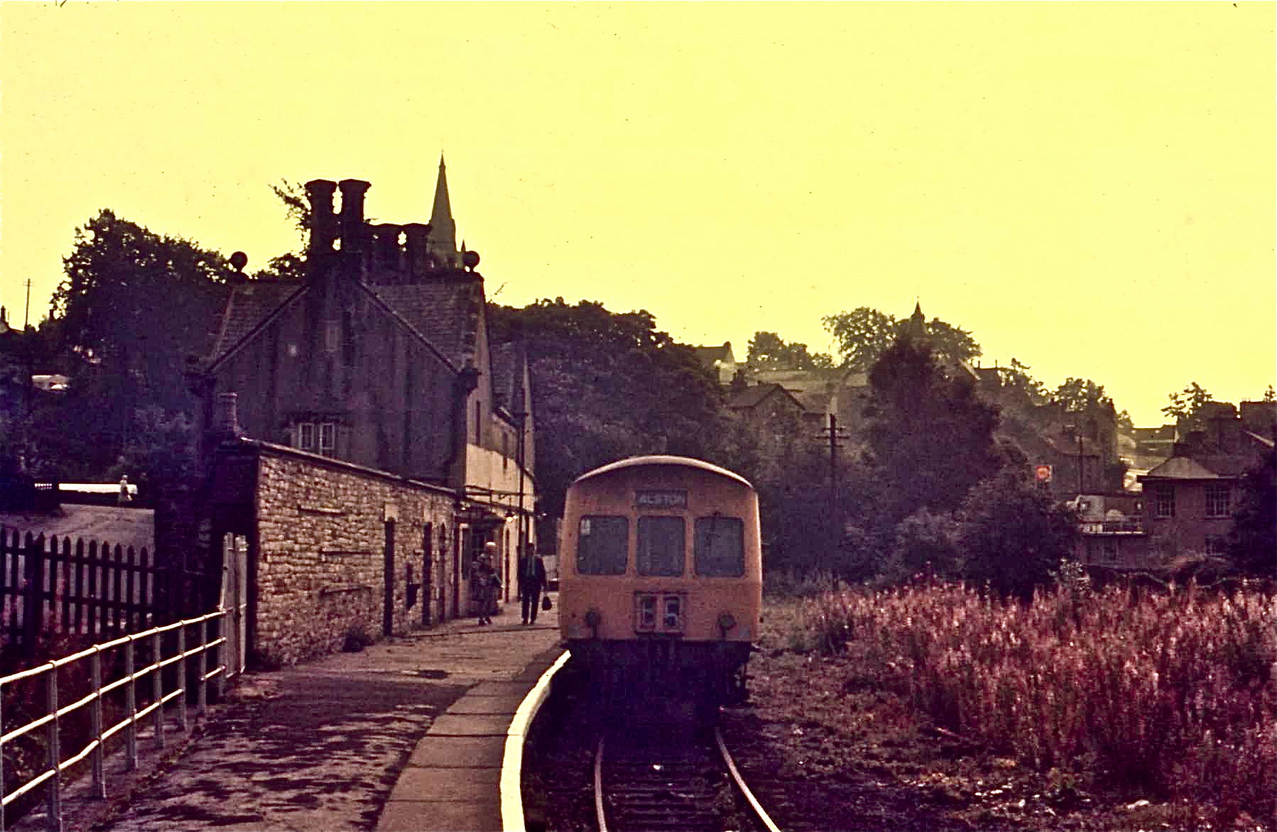
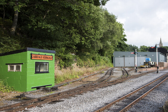
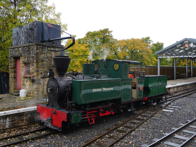
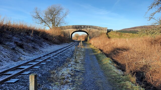
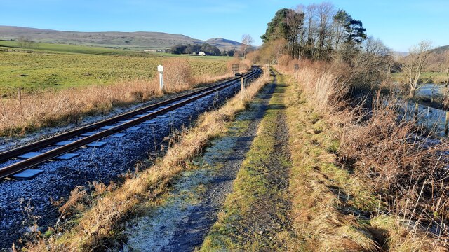
Alston railway station
Alston is a heritage railway station on the South Tynedale Railway. The station, situated 13 miles (21 km) south of Haltwhistle, is in the market town...
A686 road
The A686 is a road in Northern England. It runs from Penrith in Cumbria to Haydon Bridge in Northumberland. AA Magazine named the A686 as one of their...
Bayles, Cumbria
Bayles is a hamlet near Alston in Cumbria, England.
Gilderdale Halt railway station
Gilderdale Halt railway station, also known as Gilderdale railway station, served the town of Alston, Cumbria, England, from 1986 to 1999 on the South...
Nearby Amenities
Located within 500m of 54.810301,-2.448851Have you been to Raise?
Leave your review of Raise below (or comments, questions and feedback).