Skiff Wood
Wood, Forest in Renfrewshire
Scotland
Skiff Wood
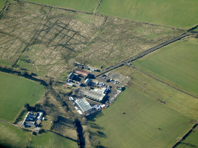
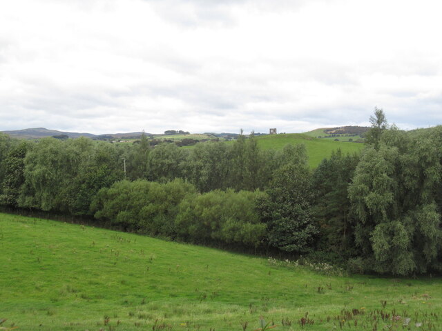
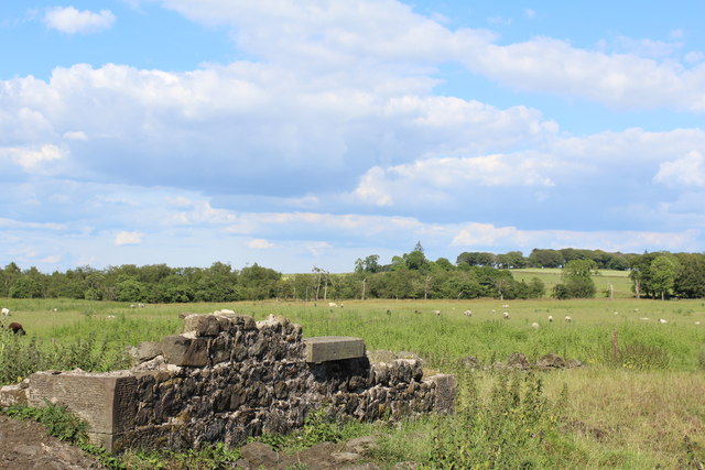
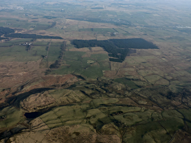
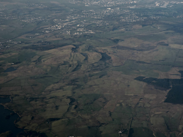
Skiff Wood is a picturesque forest located in Renfrewshire, Scotland. Covering an expansive area of approximately 500 acres, it is a popular destination for nature enthusiasts and outdoor adventurers alike. The wood is situated near the village of Skiff, which adds to its charm and accessibility.
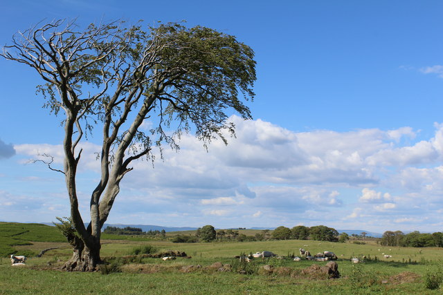
The forest is predominantly composed of native Scottish trees, including oak, birch, and pine. These trees provide a diverse habitat for various wildlife species and contribute to the overall beauty of the wood. The lush undergrowth is also home to a wide variety of flora, including bluebells, ferns, and mosses, further enhancing the woodland experience.
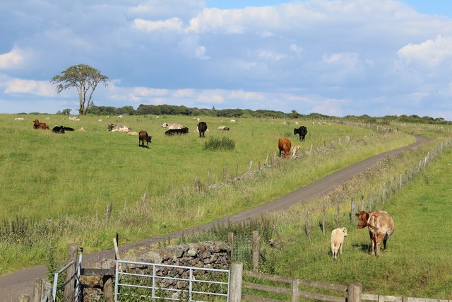
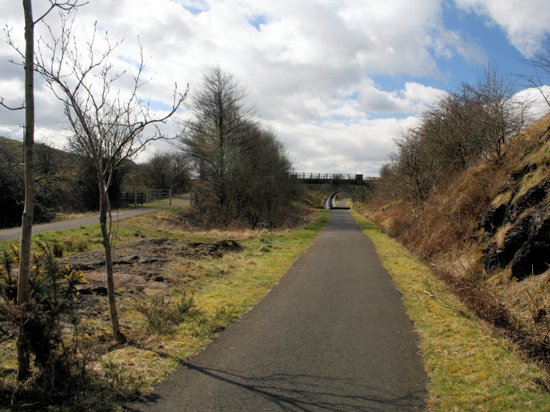
Skiff Wood offers an extensive network of well-maintained trails, allowing visitors to explore its natural wonders at their leisure. The pathways wind through the forest, providing opportunities for peaceful walks, invigorating hikes, or even cycling adventures. Along the way, visitors may encounter several viewpoints and scenic spots, offering breathtaking vistas of the surrounding countryside.
Several species of wildlife call Skiff Wood their home, including deer, squirrels, and a wide array of bird species. Birdwatchers will have a particular delight in spotting species such as buzzards, woodpeckers, and songbirds. The woodland also supports a rich diversity of insects and small mammals, making it an ideal location for nature enthusiasts and photographers.
Skiff Wood is not only a haven for wildlife and outdoor enthusiasts but also serves as an educational resource. Local schools and environmental organizations often arrange field trips and educational programs to teach visitors about the importance of woodland conservation and the role forests play in maintaining a healthy ecosystem.
Overall, Skiff Wood offers a tranquil and enchanting escape from the hustle and bustle of everyday life, providing visitors with a chance to connect with nature and appreciate the beauty of the Scottish woodland.
If you have any feedback on the listing, please let us know in the comments section below.
Skiff Wood Images
Images are sourced within 2km of 55.804209/-4.5439685 or Grid Reference NS4059. Thanks to Geograph Open Source API. All images are credited.
Skiff Wood is located at Grid Ref: NS4059 (Lat: 55.804209, Lng: -4.5439685)
Unitary Authority: Renfrewshire
Police Authority: Renfrewshire and Inverclyde
What 3 Words
///midfield.affirming.perform. Near Howwood, Renfrewshire
Nearby Locations
Related Wikis

Walls Loch
Walls Loch is situated at a height of 560 feet, below the Walls Hill Iron Age fort and to the east of Broadfield Hill on the lands of North Castlewalls...

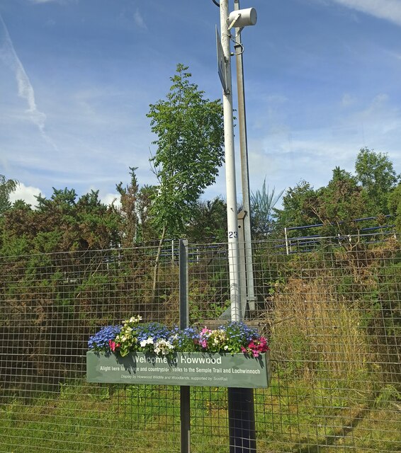
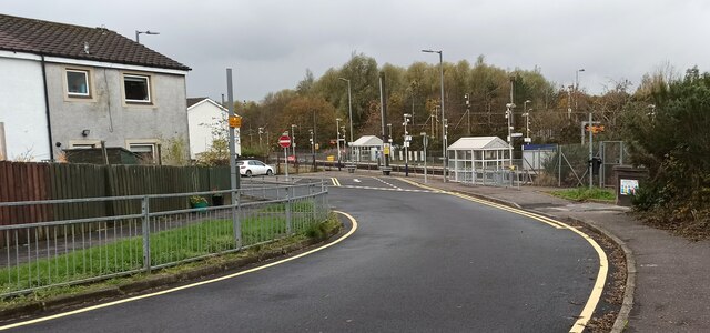
Howwood
Howwood (Scots: The Howewuid, Scottish Gaelic: Coille an Dail) is a village in Renfrewshire, Scotland. It is between Johnstone and Lochwinnoch, just off...

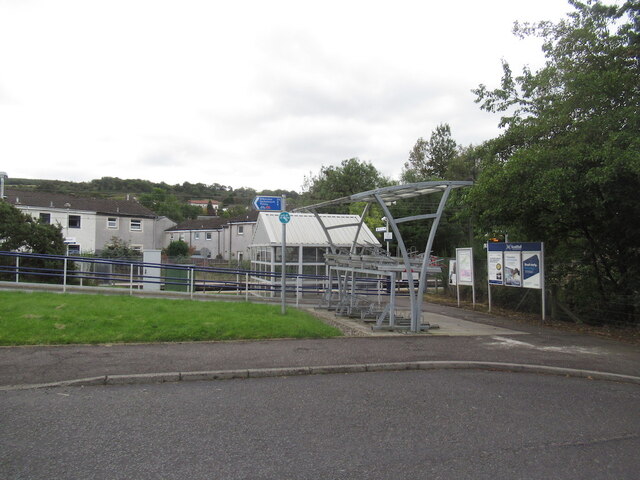
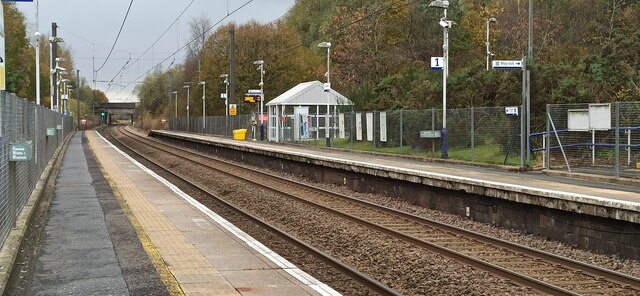
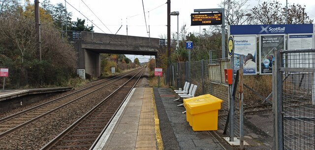
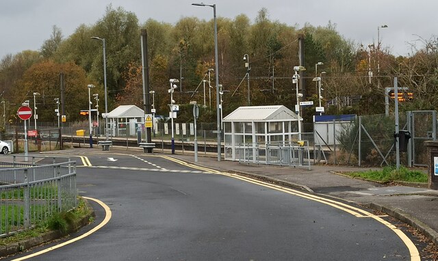
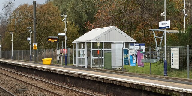
Howwood railway station
Howwood railway station is a railway station serving the village of Howwood, Renfrewshire, Scotland. The station is managed by ScotRail and is on the Ayrshire...
Lands of Elliston
The lands of Elliston, previously Elliotston or Eliotstoun or Elliestoun in the Parish of Lochwinnoch were part of the holdings of the Barony of Elliston...
Castle Semple railway station
Castle Semple railway station was intended to be a railway station that would have served the village of Howwood, Renfrewshire, Scotland as part of the...
Cochrane Castle
Cochrane Castle was a castle, 1 mile (1.6 km) west of Johnstone, Renfrewshire, Scotland, near the Black Cart Water. == History == The property was owned...

Milliken Park railway station
Milliken Park railway station serves the west end of Johnstone and the south west of the village of Kilbarchan in Renfrewshire, Scotland. The station is...

Renfrewshire
Renfrewshire () (Scots: Renfrewshire; Scottish Gaelic: Siorrachd Rinn Friù) is one of the 32 council areas of Scotland. The council area has the same name...
Have you been to Skiff Wood?
Leave your review of Skiff Wood below (or comments, questions and feedback).