Maxwelton Wood
Wood, Forest in Ayrshire
Scotland
Maxwelton Wood
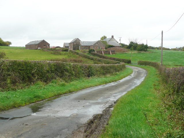
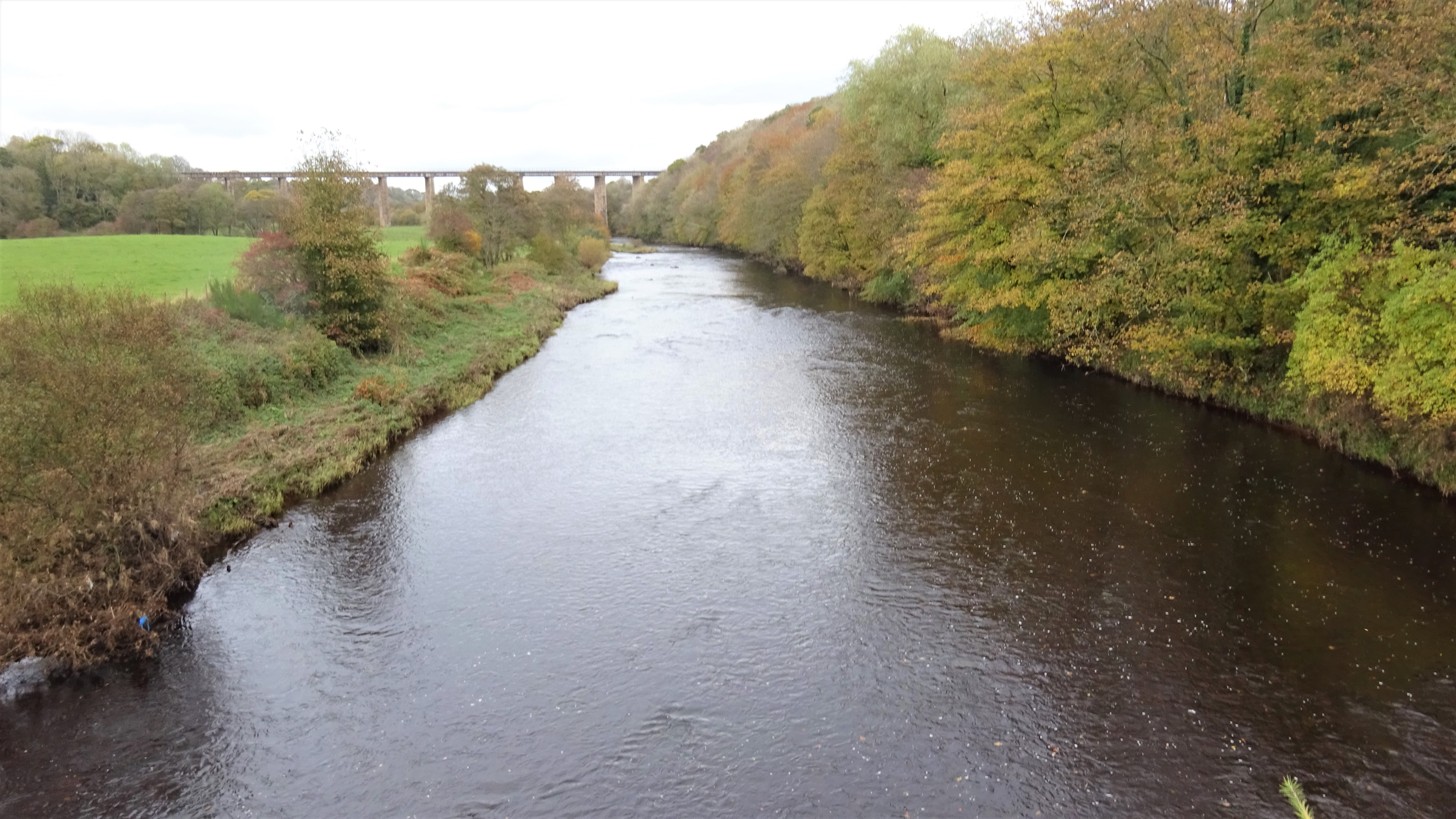
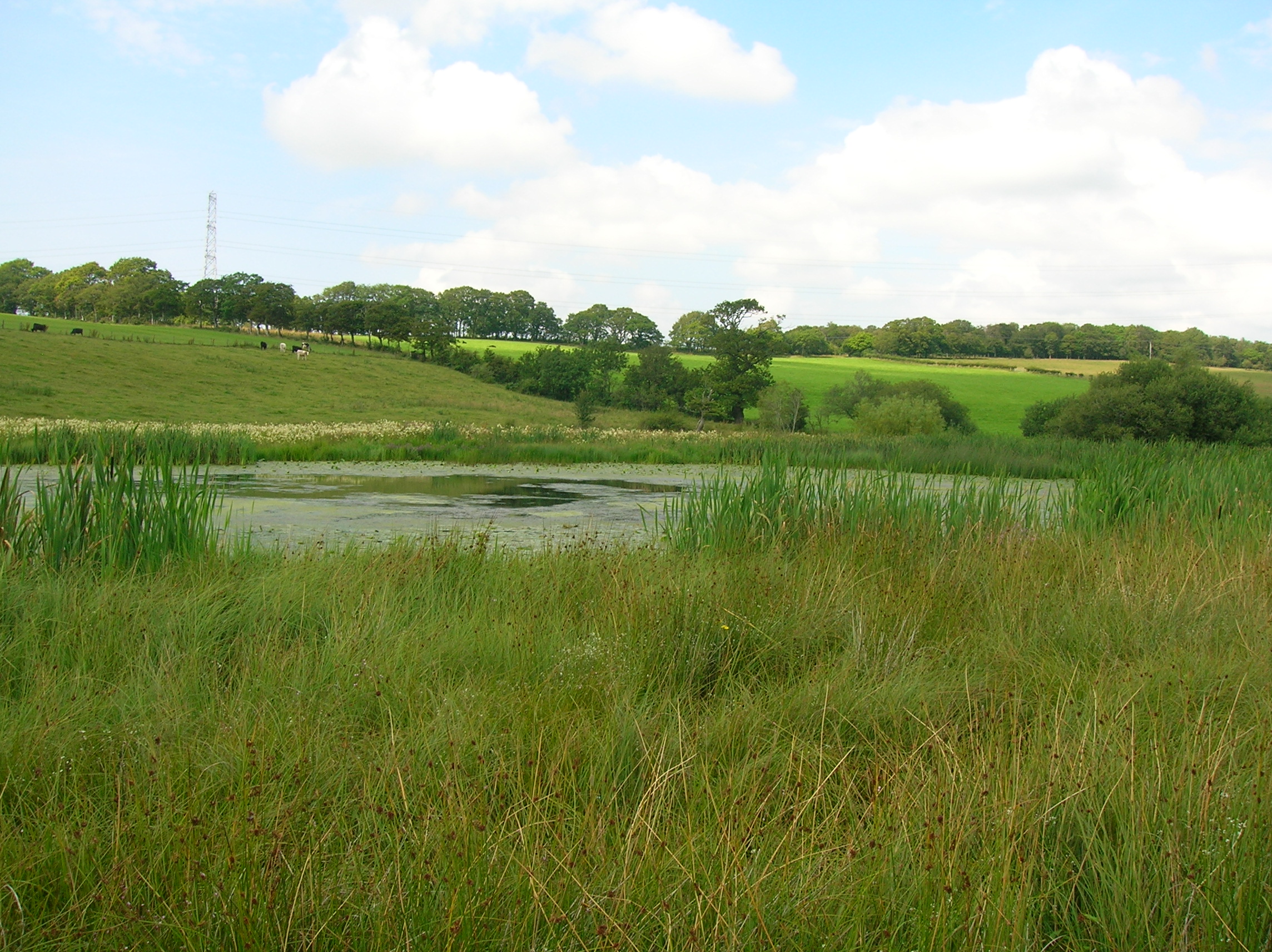
Maxwelton Wood is a picturesque woodland located in Ayrshire, Scotland. Covering an area of approximately 100 hectares, this enchanting forest is nestled within the rolling hills of the Scottish countryside. The wood is situated near the village of Moniaive, providing visitors with a tranquil and serene escape from the hustle and bustle of everyday life.
Maxwelton Wood is renowned for its diverse range of flora and fauna. A variety of tree species can be found within the wood, including oak, birch, and pine, creating a rich and vibrant tapestry of colors throughout the seasons. The woodland floor is carpeted with an array of wildflowers, such as bluebells and primroses, offering a stunning display of nature's beauty.
The forest is home to numerous wildlife species, making it a popular destination for nature enthusiasts and bird watchers. Visitors may catch a glimpse of red squirrels, roe deer, and various species of birds, including woodpeckers and owls. The tranquil atmosphere of Maxwelton Wood also attracts a wide range of woodland birds, adding to the area's natural charm.
The wood offers several walking trails that wind their way through the trees, allowing visitors to explore the beauty of the forest at their own pace. These trails vary in length and difficulty, catering to both casual walkers and more experienced hikers. Along the way, visitors can enjoy breathtaking views of the surrounding countryside and may even stumble upon hidden streams and waterfalls.
Maxwelton Wood is not only a haven for nature lovers but also a place of historical significance. The wood is said to have inspired the famous Scottish ballad "Maxwelton's Braes," written by Jane Elliot in the 18th century. The song pays tribute to the beauty and tranquility of the wood, immortalizing its charm in Scottish folklore.
Overall, Maxwelton Wood is a captivating destination that offers a unique blend of natural beauty and cultural heritage. Whether it's for a leisurely
If you have any feedback on the listing, please let us know in the comments section below.
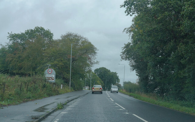
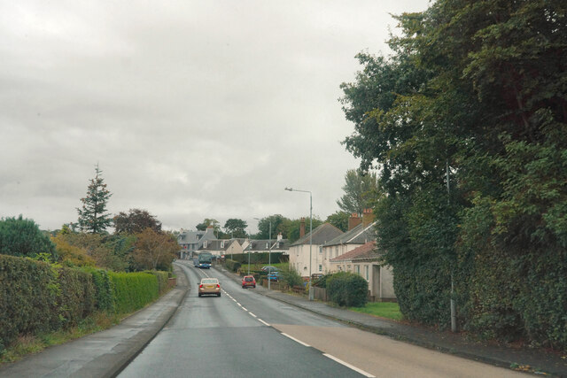
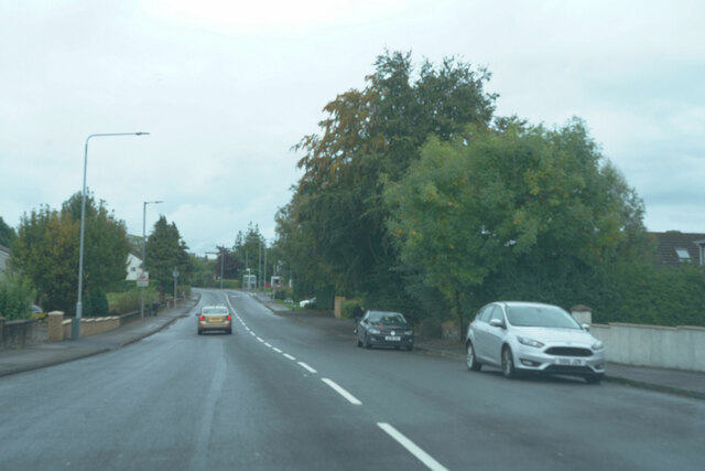
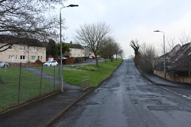
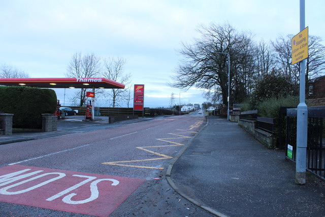
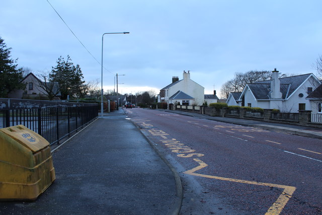
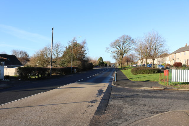
Maxwelton Wood Images
Images are sourced within 2km of 55.45961/-4.52144 or Grid Reference NS4021. Thanks to Geograph Open Source API. All images are credited.


Maxwelton Wood is located at Grid Ref: NS4021 (Lat: 55.45961, Lng: -4.52144)
Unitary Authority: South Ayrshire
Police Authority: Ayrshire
What 3 Words
///repelled.slides.icon. Near Coylton, South Ayrshire
Nearby Locations
Related Wikis

Sundrum Castle
Sundrum Castle is a Scottish medieval castle located 1.5 kilometres (0.93 mi) north of Coylton, South Ayrshire, by the Water of Coyle river. It was built...

Gadgirth Old Ha'
The castle known as Gadgirth Old Ha' or Gadgirth Old Hall, was the first castle at Gadgirth, held by the Chalmer family, standing on a whinstone promontory...
Castle and Barony of Gadgirth
The Castle and Barony of Gadgirth was held by the Chalmer family, originally De Camera, with successive castles and a mansion house overlooking the River...

Annbank
Annbank is a village in South Ayrshire, Scotland. It is around five miles east of Ayr. Originally a mining settlement, it once had a rail link to Ayr via...
Lochend Loch (Coylton)
Lochend Loch, which once had nearly three acres in surface area is now only a small freshwater loch remnant. It lies in the South Ayrshire Council Area...
Annbank United F.C.
Annbank United Football Club are a Scottish football club from Annbank, South Ayrshire. Formed in 1939, they are based at New Pebble Park and are nicknamed...
Coylton
Coylton (Scots: Culton) is a village and civil parish in South Ayrshire, Scotland. It is five miles (eight kilometres) east of Ayr and 2+1⁄2 miles (4 kilometres...

Joppa, South Ayrshire
Joppa is a former hamlet in South Ayrshire, Scotland, about one mile (1.5 kilometres) which now forms the eastern portion of the built-up part of Coylton...
Related Videos

Sundrum Castle Holiday Park Accommodation, Scotland
Take a look at what accommodation you can stay in during your time at Sundrum Castle Holiday Park, Scotland. The extra wide 3 ...

Facilities at Sundrum Castle Holiday Park
You'll find so much to do at Sundrum Castle Holiday Park, it's hard to choose what to do first. If you love splashing around in the ...
Train-spotting Sprocker.
Train passes when I was out walking the pup. 10 x 100 tonners for Prestwick Airport's Monkton Sidings. With Ayr station closed ...
Nearby Amenities
Located within 500m of 55.45961,-4.52144Have you been to Maxwelton Wood?
Leave your review of Maxwelton Wood below (or comments, questions and feedback).