Milreoch Cross Wood

Wood, Forest in Ayrshire

Scotland

Milreoch Cross Wood

A713 towards Dalmellington
A713 towards Dalmellington Credit: Steven Brown

Milreoch Cross Wood is a picturesque woodland located in Ayrshire, Scotland. Spanning over a vast area, it is a popular destination for nature enthusiasts and hikers alike. The wood is situated near the small village of Dalrymple, approximately 10 miles east of Ayr.

The woodland is characterized by its diverse range of tree species, including oak, birch, and Scots pine. These trees create a dense canopy, providing shelter for a variety of wildlife such as red squirrels, roe deer, and numerous bird species. Milreoch Cross Wood is known for its tranquil atmosphere and is often described as a haven for those seeking solace in nature.

The wood features several walking trails that wind through its enchanting landscape. These paths cater to all levels of fitness and provide an opportunity to explore the natural beauty of the area. Additionally, there are designated picnic areas and benches scattered throughout, allowing visitors to take a break and enjoy the serene surroundings.

Milreoch Cross Wood is also steeped in history. The eponymous Milreoch Cross, a 17th-century stone monument, stands proudly within the wood. It serves as a reminder of the area's cultural significance and attracts history enthusiasts looking to learn more about its past.

Overall, Milreoch Cross Wood offers a delightful experience for nature lovers and history buffs. With its stunning scenery, diverse flora and fauna, and rich historical background, it is a must-visit destination for anyone seeking to immerse themselves in the beauty of Ayrshire's natural landscape.

If you have any feedback on the listing, please let us know in the comments section below.

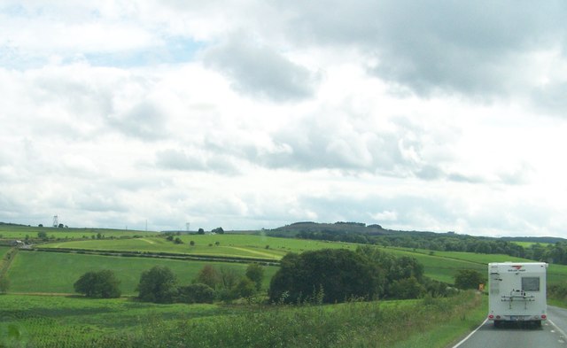
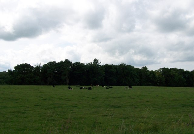
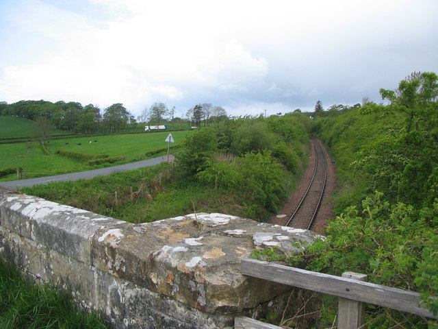
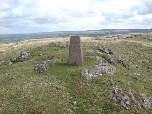
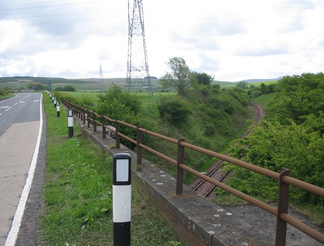
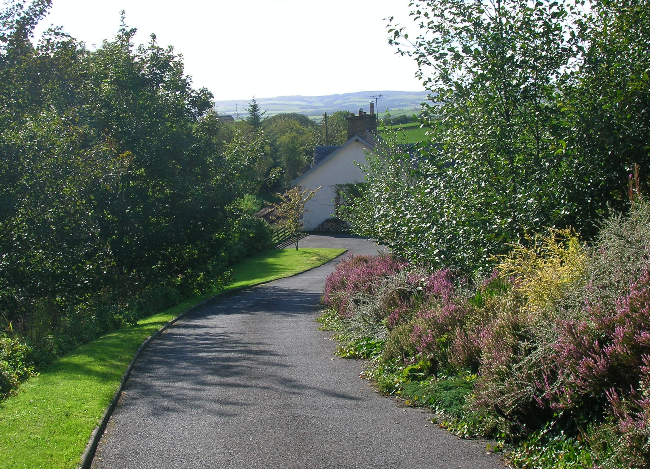
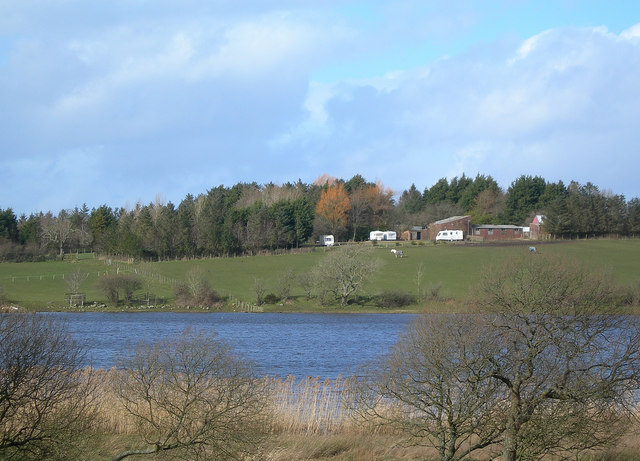
Milreoch Cross Wood Images

Images are sourced within 2km of 55.402814/-4.5173465 or Grid Reference NS4014. Thanks to Geograph Open Source API. All images are credited.

A713 towards Dalmellington
A713 towards Hollybush
Heading south on the A713 south of Hollybush
Looking west from the A713 across the fields
Whitehill of Martnaham, East Ayrshire. Looking towards Whitehill of Martnaham with North Ayrshire in the background.
Whitehill of Martnaham, East Ayrshire.
Looking towards Whitehill of Martnaham with North Ayrshire in the background.
Kerse Loch A view looking southwest from Craigs Road over farmland towards Kerse Loch.
Kerse Loch
A view looking southwest from Craigs Road over farmland towards Kerse Loch.
Craigs Road A view looking west along Craigs Road towards the boundary of East Ayrshire.
Craigs Road
A view looking west along Craigs Road towards the boundary of East Ayrshire.
Laurieston A view looking to the southwest from Craigs Road towards the farm buildings at Laurieston. The embankment carrying the railway line can be seen in the distance above the buildings.
Laurieston
A view looking to the southwest from Craigs Road towards the farm buildings at Laurieston. The embankment carrying the railway line can be seen in the distance above the buildings.
Bridge near Finlaggan A view looking west along Craigs Road towards the bridge over the railway line near Finlaggan. The parallel hedges in the middle distance mark the route of the A713 road.
Bridge near Finlaggan
A view looking west along Craigs Road towards the bridge over the railway line near Finlaggan. The parallel hedges in the middle distance mark the route of the A713 road.
Road over rail A view looking to the northwest from the bridge carrying Craigs Road over the railway line. Traffic on the A713 can be seen in the distance.
Road over rail
A view looking to the northwest from the bridge carrying Craigs Road over the railway line. Traffic on the A713 can be seen in the distance.
Bridge south of Holehouse Junction A view looking southeast from the bridge carrying the A713 over the railway line to the south of Holehouse Junction.
Bridge south of Holehouse Junction
A view looking southeast from the bridge carrying the A713 over the railway line to the south of Holehouse Junction.
Beech Hedges Drive to Dinwoodie.
Beech Hedges
Drive to Dinwoodie.
Feeding Stranger in the camp.
Feeding
Stranger in the camp.
The Trig Point The trig point on The Craigs of Kyle
The Trig Point
The trig point on The Craigs of Kyle
Windswept Woodland Plenty evidence here of strong winds affecting this old woodland.
Windswept Woodland
Plenty evidence here of strong winds affecting this old woodland.
New Planting A recently planted area of hardwoods, near the old area of woodland.
New Planting
A recently planted area of hardwoods, near the old area of woodland.
New Hardwoods A strip of new hardwood trees, mostly hawthorn and rowan, has been planted along the sheltered side of the old woodland.
New Hardwoods
A strip of new hardwood trees, mostly hawthorn and rowan, has been planted along the sheltered side of the old woodland.
View To Coylton Looking NNW towards the village of Coylton, visible in the distant background.
View To Coylton
Looking NNW towards the village of Coylton, visible in the distant background.
Show me another place!

Milreoch Cross Wood is located at Grid Ref: NS4014 (Lat: 55.402814, Lng: -4.5173465)

Unitary Authority: East Ayrshire

Police Authority: Ayrshire

What 3 Words

///vibrating.basher.tree. Near Patna, East Ayrshire

Related Wikis

Holehouse Junction railway station

Holehouse Junction railway station was an exchange railway station in East Ayrshire, Scotland. The line on which the station later came to stand was originally...

Hollybush railway station

Hollybush railway station was a railway station in East Ayrshire, Scotland that served the nearby Hollybush Hotel and the rural district. The line on which...

Kerse Loch

Kerse Loch (NS 34894 16186), also recorded as Carse Loch (1841) is a small freshwater loch in the East Ayrshire Council Area, lying in a glacial Kettle...

Martnaham Loch

Martnaham Loch (NS 396 172) is a freshwater loch lying across the border between East and South Ayrshire Council Areas, two kilometres (1+1⁄4 miles) from...

Nearby Amenities

Located within 500m of 55.402814,-4.5173465
Power: pole
Lat/Long: 55.3985059/-4.5171733
Power: pole
Lat/Long: 55.3987022/-4.5180876
Power: pole
Lat/Long: 55.3990225/-4.519538
Power: pole
Lat/Long: 55.3993269/-4.5210231
Power: pole
Lat/Long: 55.3996247/-4.5224132
Power: pole
Lat/Long: 55.4006789/-4.5232277
Power: pole
Lat/Long: 55.4026962/-4.5221718
Power: pole
Lat/Long: 55.403774/-4.5216427
Power: pole
Lat/Long: 55.4046977/-4.5211647
Power: pole
Lat/Long: 55.4055251/-4.52074
Power: pole
Lat/Long: 55.4063723/-4.5205915
Power: pole
Lat/Long: 55.4069427/-4.5204848
The data included in this document is from www.openstreetmap.org. The data is made available under ODbL.

Have you been to Milreoch Cross Wood?

Leave your review of Milreoch Cross Wood below (or comments, questions and feedback).