Fey Wood
Wood, Forest in Wigtownshire
Scotland
Fey Wood
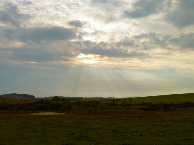
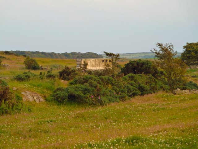
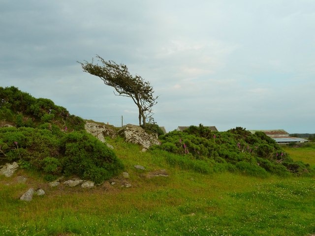
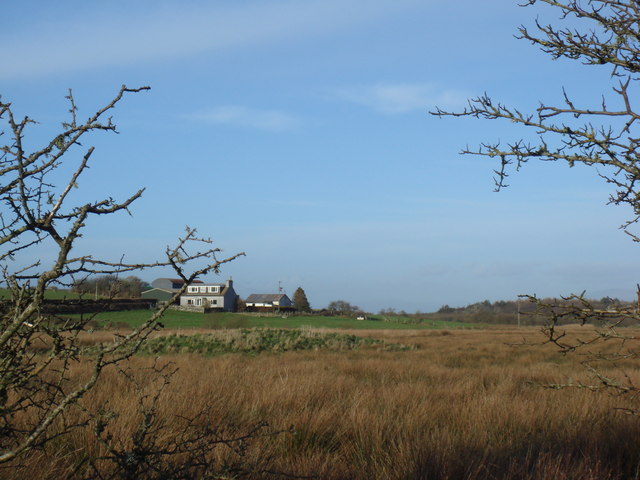
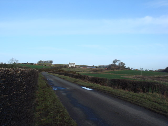
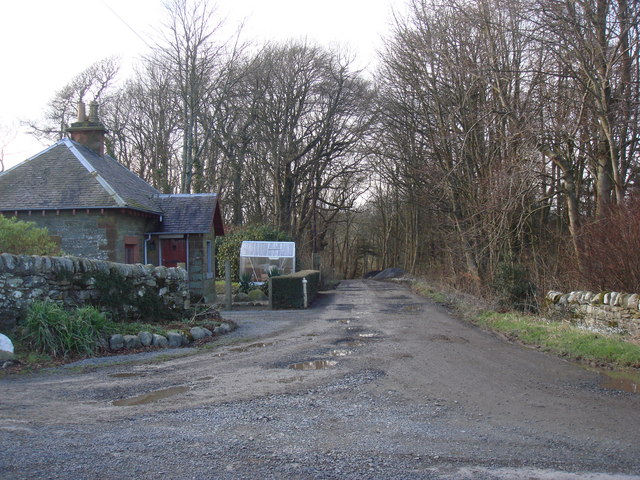
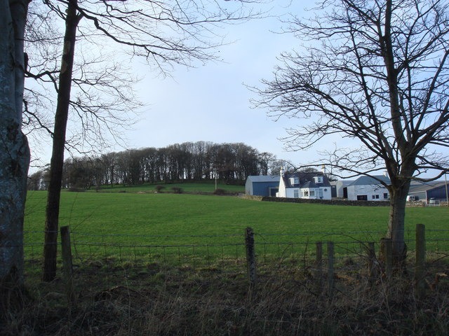
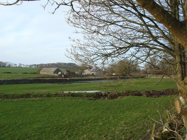
Fey Wood is a picturesque forest located in Wigtownshire, a historic county in southwest Scotland. Spanning an area of approximately 100 acres, this enchanting woodland is renowned for its natural beauty and rich biodiversity. Nestled amidst rolling hills and surrounded by meadows, Fey Wood is a haven for nature enthusiasts and a popular destination for outdoor adventurers.
The forest is predominantly composed of native broadleaf trees, such as oak, birch, and beech, which create a dense canopy and provide a habitat for a diverse range of flora and fauna. Walking through the woodland, visitors can marvel at the vibrant displays of wildflowers, including bluebells, primroses, and wood sorrels, that carpet the forest floor during the spring and summer months.
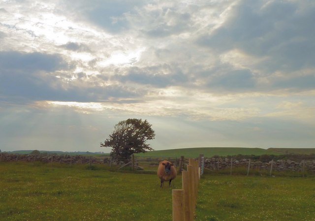
Fey Wood is also home to a variety of wildlife, including red squirrels, roe deer, and a plethora of bird species. Birdwatchers can spot common woodland birds like thrushes, tits, and finches, as well as rarer species such as woodpeckers and tawny owls. The forest's tranquil atmosphere and undisturbed nature make it an ideal habitat for these creatures.
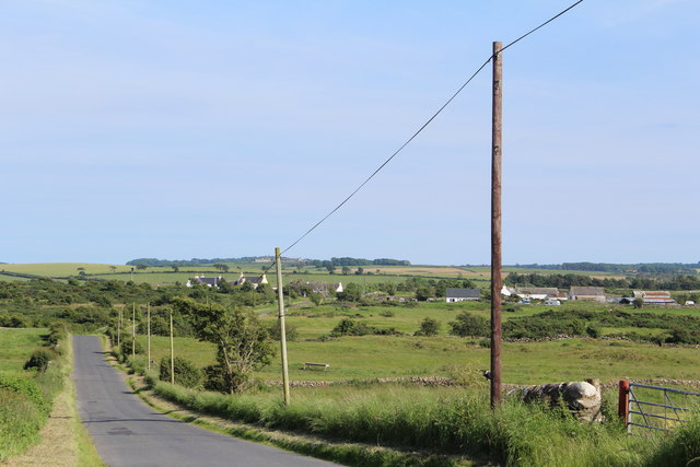
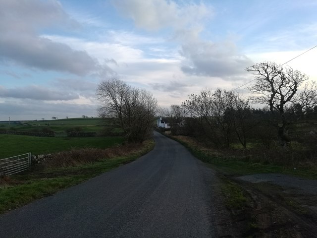
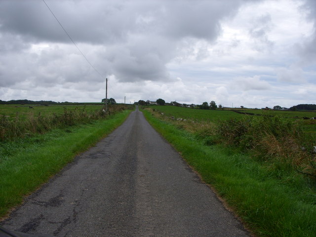
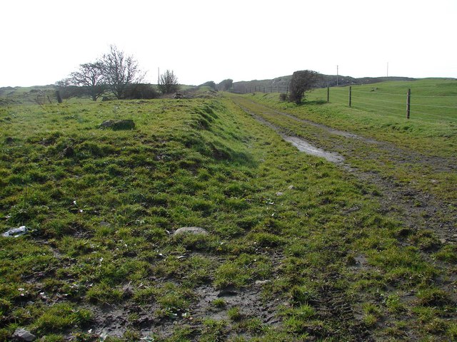
Visitors can explore Fey Wood through a network of well-maintained trails that wind through the forest, offering stunning views of the surrounding countryside. The trails provide opportunities for hiking, cycling, and horseback riding, catering to outdoor enthusiasts of all ages and abilities. Additionally, there are designated picnic areas and viewpoints where visitors can pause and appreciate the serenity of the woodland.
Fey Wood is not only a natural gem but also a place of cultural significance. It has inspired local artists, writers, and poets throughout the years, becoming a muse for creativity and imagination. Its mystical charm and unspoiled beauty make Fey Wood a must-visit destination for anyone seeking a peaceful retreat in the heart of Wigtownshire.
If you have any feedback on the listing, please let us know in the comments section below.
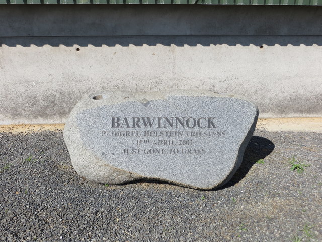
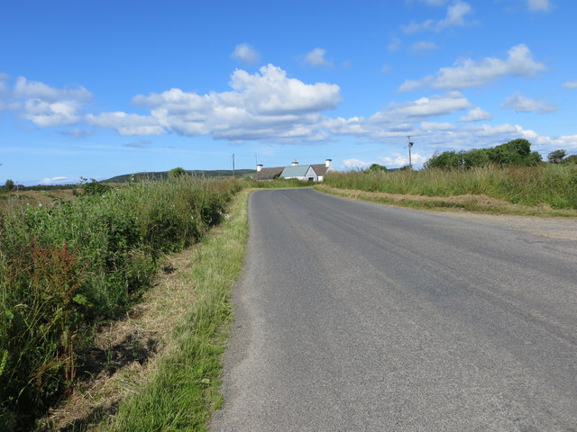
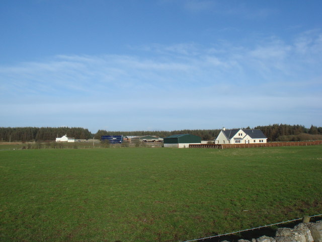
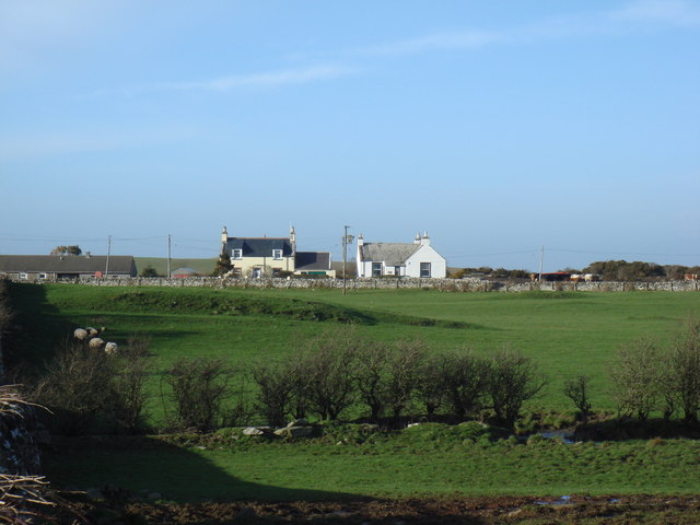
Fey Wood Images
Images are sourced within 2km of 54.765026/-4.4789142 or Grid Reference NX4043. Thanks to Geograph Open Source API. All images are credited.
Fey Wood is located at Grid Ref: NX4043 (Lat: 54.765026, Lng: -4.4789142)
Unitary Authority: Dumfries and Galloway
Police Authority: Dumfries and Galloway
What 3 Words
///collapsed.sneezing.post. Near Whithorn, Dumfries & Galloway
Nearby Locations
Related Wikis

Whauphill
Whauphill is a small village located in the historical county of Wigtownshire in the Machars, Dumfries and Galloway, Scotland.Whauphill is a hub that supports...

Drumtroddan standing stones
The Drumtroddan standing stones (grid reference NX 36449 44300) are a small Neolithic or Bronze Age stone alignment in the parish of Mochrum, Wigtownshire...
Sorbie
Sorbie (Scottish Gaelic: Soirbidh) is a small village in Wigtownshire, Machars, within the Administration area of Dumfries and Galloway Council, Scotland...
Rispain Camp
Rispain Camp is the remains of a fortified farmstead 1 mile west of Whithorn, Dumfries and Galloway, Scotland. It is one of the major Iron Age archaeological...

Sorbie railway station
Sorbie (NX4351447562) was a railway station that was located close to the village of Sorbie on the then Wigtownshire Railway branch line to Whithorn, from...

Wren's Egg
The Wren's Egg (grid reference NX 3610 4199) is the name given to a set of late Neolithic or Bronze Age stone monuments in the parish of Glasserton, Wigtownshire...
Broughton Skeog railway station
Broughton Skeog (NX4554444071) was a railway station that was located near level crossing gates over a minor road on the Wigtownshire Railway branch line...
Whithorn railway station
Whithorn is the closed terminus of the Wigtownshire Railway branch, from Newton Stewart, of the Portpatrick and Wigtownshire Joint Railway. It served...
Nearby Amenities
Located within 500m of 54.765026,-4.4789142Have you been to Fey Wood?
Leave your review of Fey Wood below (or comments, questions and feedback).