Drumrae Hill
Hill, Mountain in Wigtownshire
Scotland
Drumrae Hill
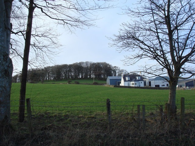
Drumrae Hill is a prominent natural feature located in Wigtownshire, a historic county in the southwestern region of Scotland. Situated near the village of Drumrae, the hill offers breathtaking panoramic views of the surrounding countryside and is a popular destination for outdoor enthusiasts.
Rising to a height of approximately 350 meters (1148 feet), Drumrae Hill is classified as a hill rather than a mountain. However, its commanding position provides visitors with exceptional vistas of the Galloway Forest Park, the Solway Firth, and even the distant hills of Northern Ireland on clear days.
The hill is accessible via a well-marked footpath that winds its way through grassy slopes and heather-covered terrain. Along the way, hikers may encounter a variety of wildlife, including red deer, buzzards, and rare species of butterflies. The path is relatively easy to navigate, making Drumrae Hill an ideal destination for those seeking a moderate hike with rewarding views.
At the summit, visitors are rewarded with a 360-degree panorama, showcasing the natural beauty of the region. On a clear day, one can see the Mull of Galloway, the most southerly point of Scotland, as well as the Isle of Man. The hilltop is an excellent spot for photography, picnicking, or simply enjoying the peace and tranquility of the Scottish countryside.
Overall, Drumrae Hill provides a captivating experience for nature lovers and outdoor adventurers alike. Its accessibility, stunning views, and diverse wildlife make it a must-visit destination for anyone exploring the enchanting region of Wigtownshire.
If you have any feedback on the listing, please let us know in the comments section below.
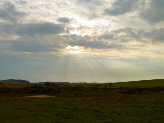
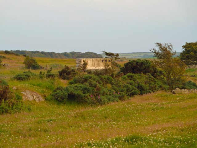
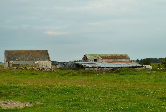
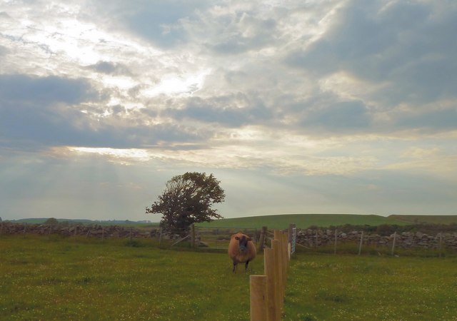
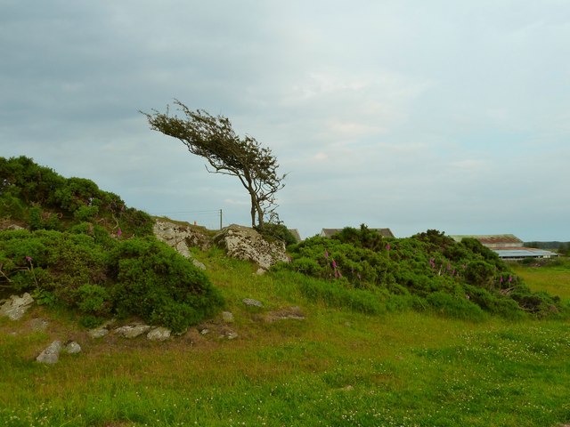
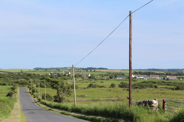
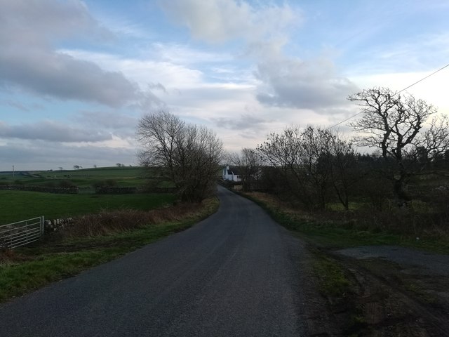
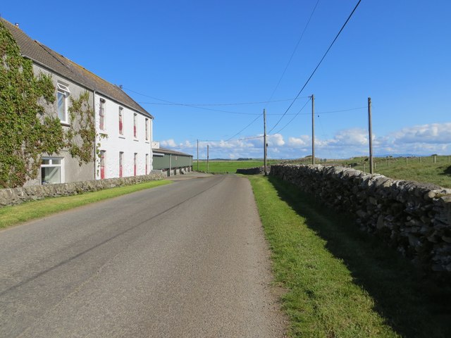
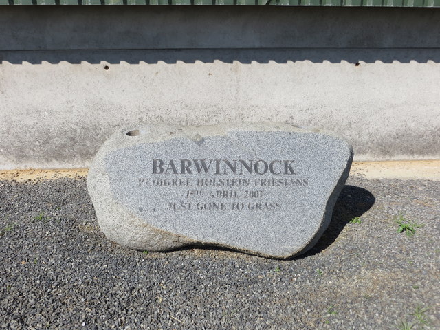
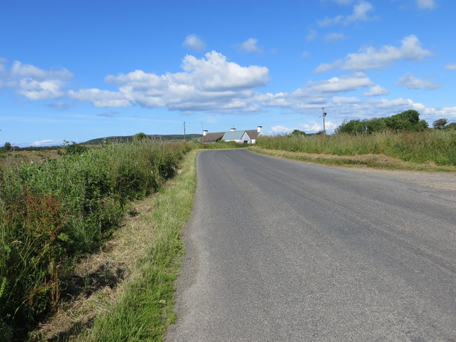
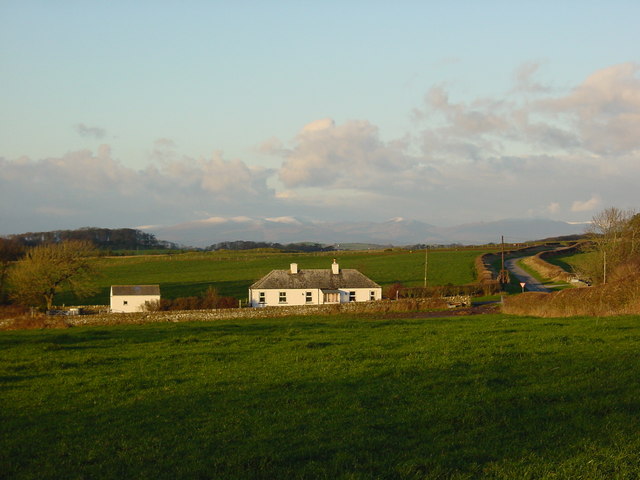
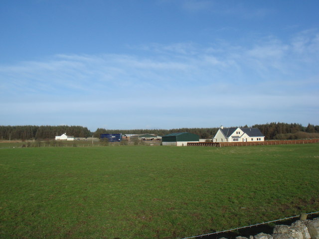
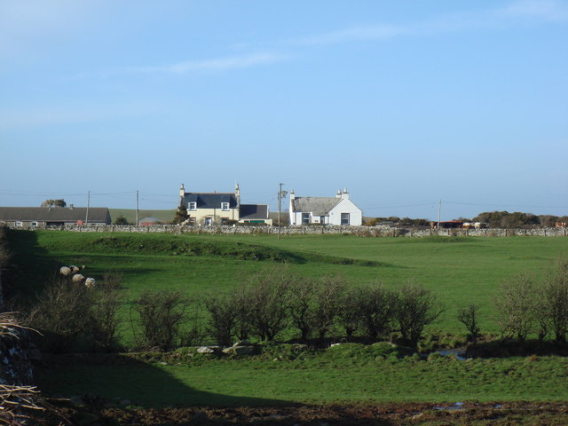
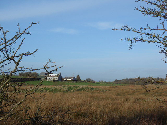
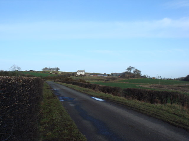
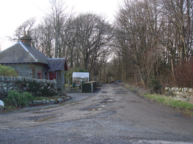
Drumrae Hill Images
Images are sourced within 2km of 54.760896/-4.4791124 or Grid Reference NX4043. Thanks to Geograph Open Source API. All images are credited.

Drumrae Hill is located at Grid Ref: NX4043 (Lat: 54.760896, Lng: -4.4791124)
Unitary Authority: Dumfries and Galloway
Police Authority: Dumfries and Galloway
What 3 Words
///leathers.shrubbery.handwriting. Near Whithorn, Dumfries & Galloway
Nearby Locations
Related Wikis

Drumtroddan standing stones
The Drumtroddan standing stones (grid reference NX 36449 44300) are a small Neolithic or Bronze Age stone alignment in the parish of Mochrum, Wigtownshire...

Rispain Camp
Rispain Camp is the remains of a fortified farmstead 1 mile west of Whithorn, Dumfries and Galloway, Scotland. It is one of the major Iron Age archaeological...
Whauphill
Whauphill is a small village located in the historical county of Wigtownshire in the Machars, Dumfries and Galloway, Scotland.Whauphill is a hub that supports...
Sorbie
Sorbie (Scottish Gaelic: Soirbidh) is a small village in Wigtownshire, Machars, within the Administration area of Dumfries and Galloway Council, Scotland...
Nearby Amenities
Located within 500m of 54.760896,-4.4791124Have you been to Drumrae Hill?
Leave your review of Drumrae Hill below (or comments, questions and feedback).