Pisgah Gorse
Wood, Forest in Ayrshire
Scotland
Pisgah Gorse

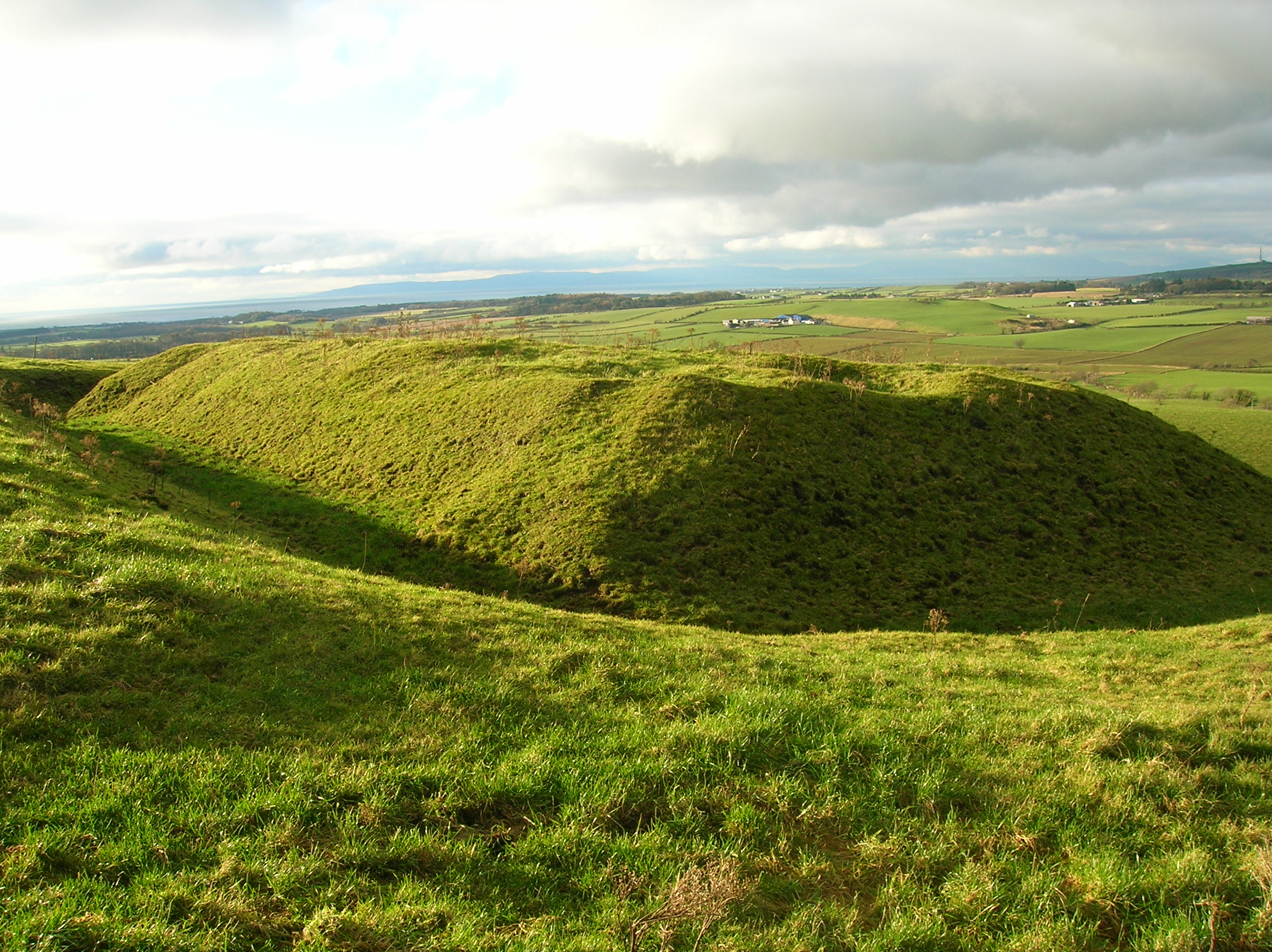
Pisgah Gorse is a picturesque wood located in the county of Ayrshire, Scotland. Situated in the southwest of the country, it covers an area of approximately 200 acres and is renowned for its stunning natural beauty and diverse wildlife.
The wood is predominantly made up of native species such as oak, birch, and rowan trees, creating a rich and varied ecosystem. The dense foliage provides a habitat for a wide range of flora and fauna, making it a haven for nature enthusiasts and wildlife photographers.
Walking through Pisgah Gorse, visitors can expect to encounter an array of wildlife. Red squirrels, roe deer, and various bird species, including woodpeckers and owls, can often be spotted amidst the trees. The wood's tranquil atmosphere and peaceful surroundings make it an ideal spot for birdwatching.
In addition to its natural beauty, Pisgah Gorse offers a network of well-maintained trails, making it a popular destination for hikers and nature lovers. The paths meander through the wood, providing opportunities for exploration and allowing visitors to immerse themselves in the peaceful surroundings.
Pisgah Gorse is also home to an abundance of wildflowers, which bloom throughout the seasons, adding vibrant colors to the landscape. Bluebells, primroses, and foxgloves are just a few examples of the flora that can be found in the wood, creating a breathtaking sight during spring and summer months.
Overall, Pisgah Gorse is a true gem of Ayrshire, offering a serene escape from the bustling city life and providing an opportunity to connect with nature in all its glory.
If you have any feedback on the listing, please let us know in the comments section below.
Pisgah Gorse Images
Images are sourced within 2km of 55.524905/-4.5265521 or Grid Reference NS4028. Thanks to Geograph Open Source API. All images are credited.


Pisgah Gorse is located at Grid Ref: NS4028 (Lat: 55.524905, Lng: -4.5265521)
Unitary Authority: South Ayrshire
Police Authority: Ayrshire
What 3 Words
///tinny.mammoth.value. Near Tarbolton, South Ayrshire
Nearby Locations
Related Wikis
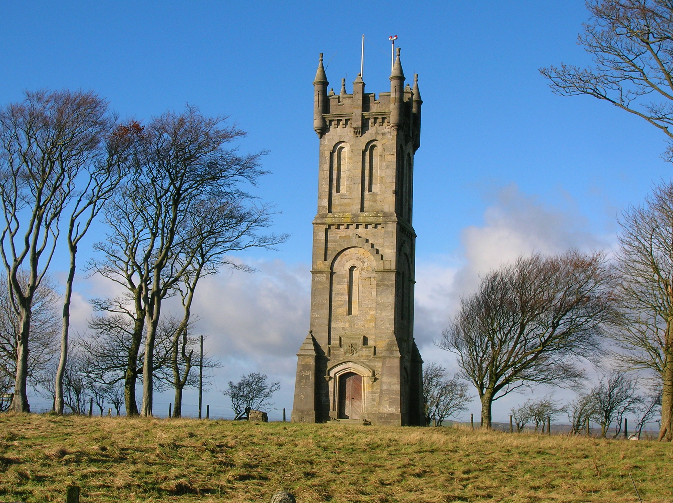
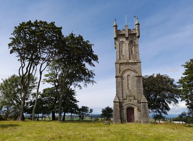
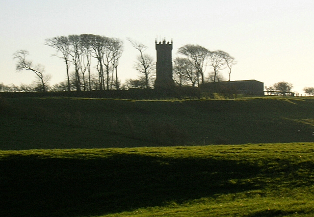
Wallace's Monument, Ayrshire
Wallace's Monument, the Wallace Tower, or the Barnweil Monument (NS 240655 629488) is a category-A-listed building dedicated to the memory of William Wallace...
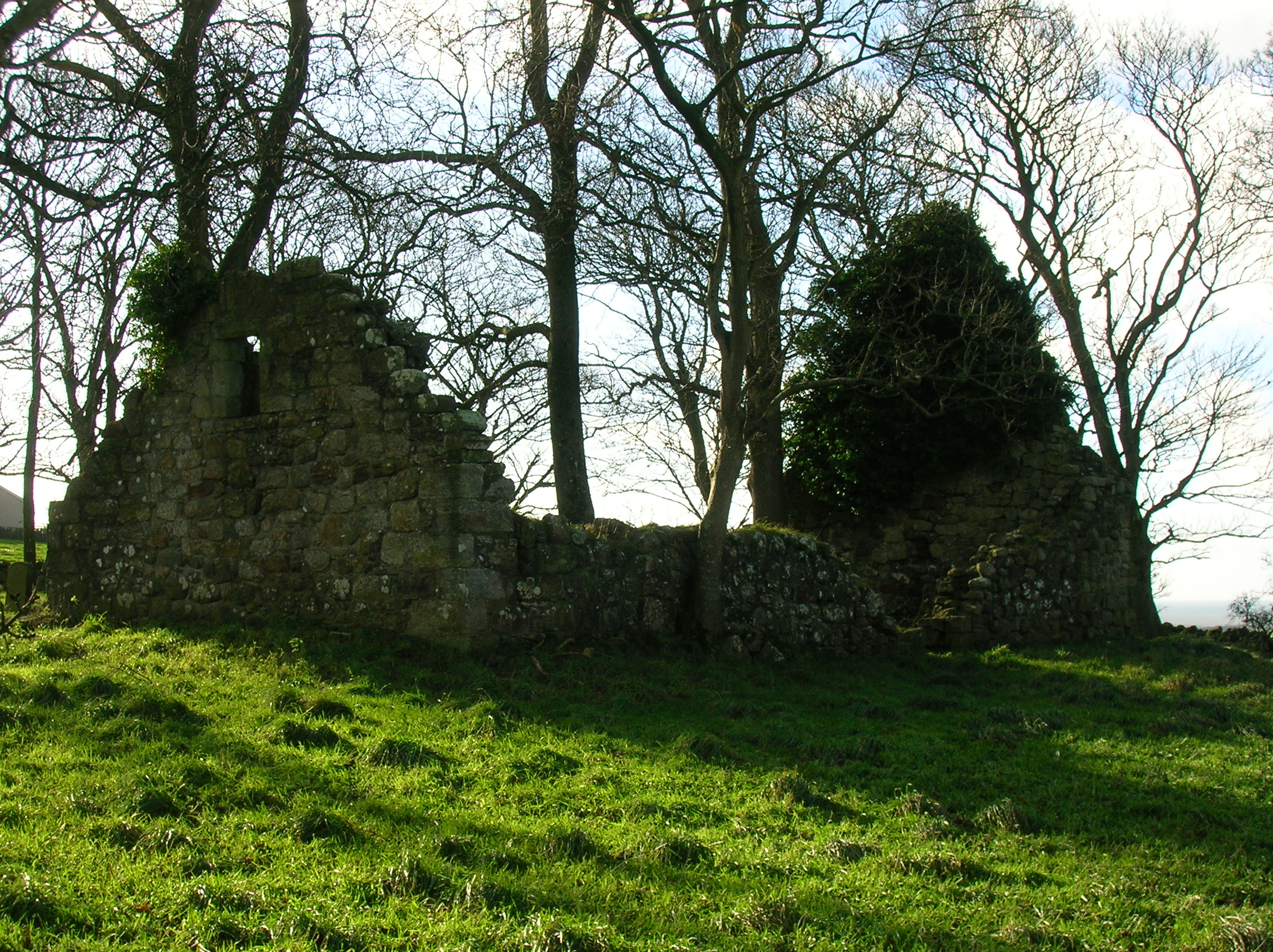
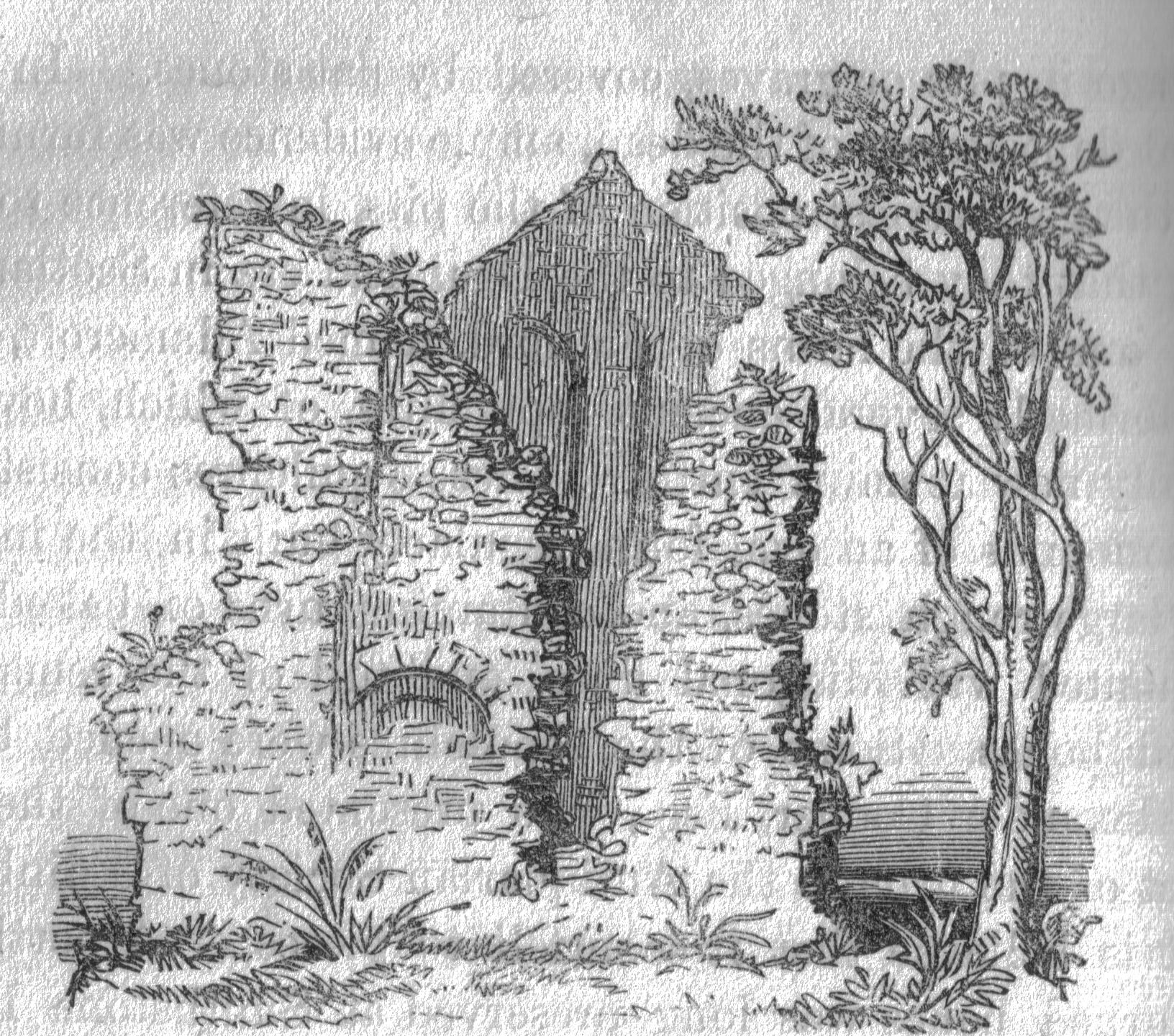
Barnweill Church
Barnweill Church or Barnweil Church (NGR NS 40506 29903) is a ruined pre-reformation kirk situated on rising ground on the slopes of Barnweill Hill, Parish...
Barnweill Castle
Barnweill Castle was a castle located at Barnweill, in the parish of Craigie, South Ayrshire, Scotland. The castle was a stronghold of the Lindsay family...
Fail Monastery
Fail Monastery, occasionally known as Failford Abbey, had a dedication to 'Saint Mary', and was located at Fail (NS 42129 28654) on the bank of the Water...
Nearby Amenities
Located within 500m of 55.524905,-4.5265521Have you been to Pisgah Gorse?
Leave your review of Pisgah Gorse below (or comments, questions and feedback).