Corsehead Wood
Wood, Forest in Renfrewshire
Scotland
Corsehead Wood
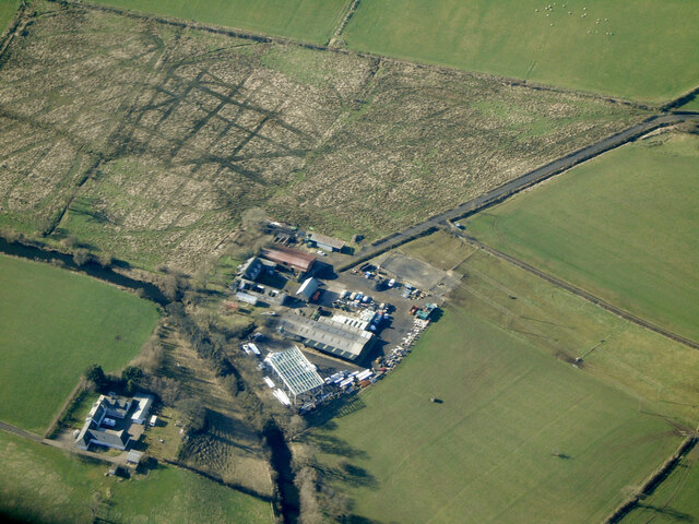
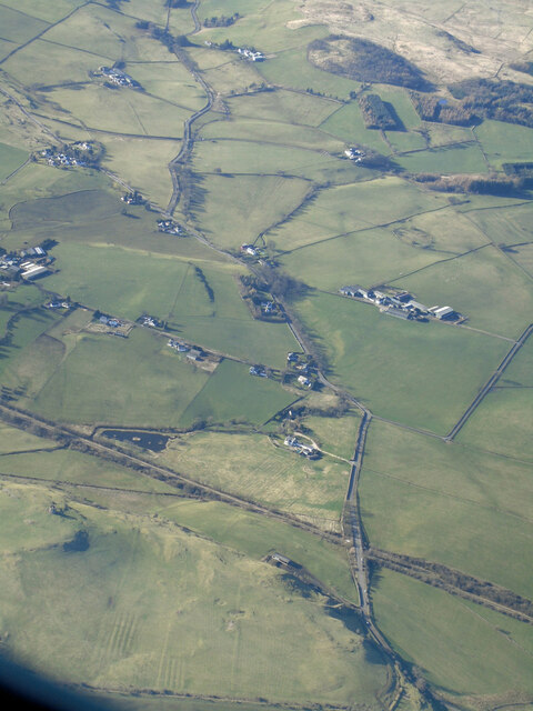
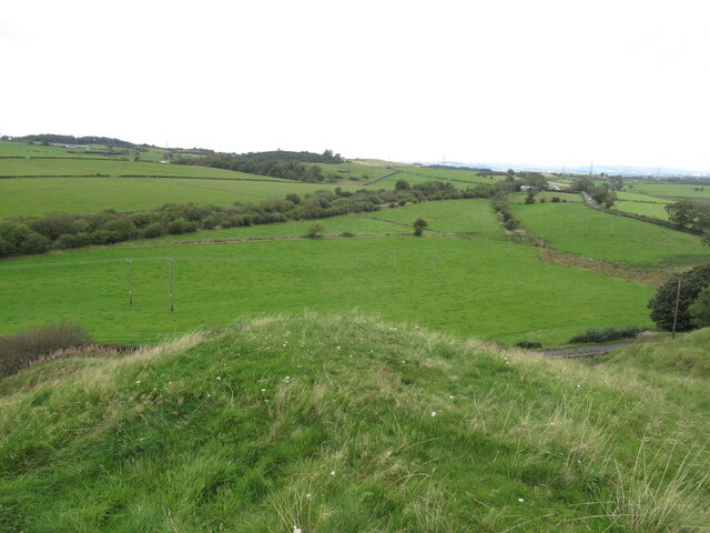
Corsehead Wood is a stunning forest located in Renfrewshire, Scotland. Spanning over 650 acres, it is a haven for nature enthusiasts and a popular destination for outdoor activities. The forest is situated near the town of Lochwinnoch and is easily accessible from nearby cities such as Glasgow.
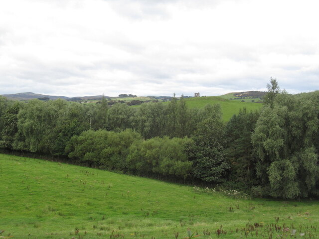
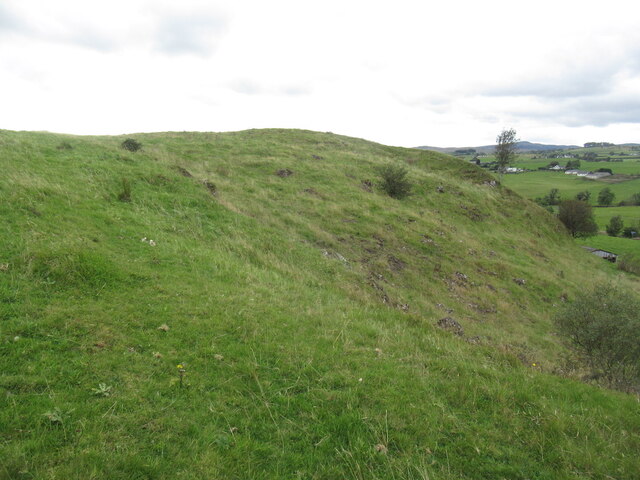
The wood is known for its diverse range of tree species, including oak, beech, birch, and pine. These majestic trees create a picturesque landscape, especially during the autumn season when the leaves change color, providing a vibrant display. The forest floor is carpeted with a variety of wildflowers, adding to its natural beauty.
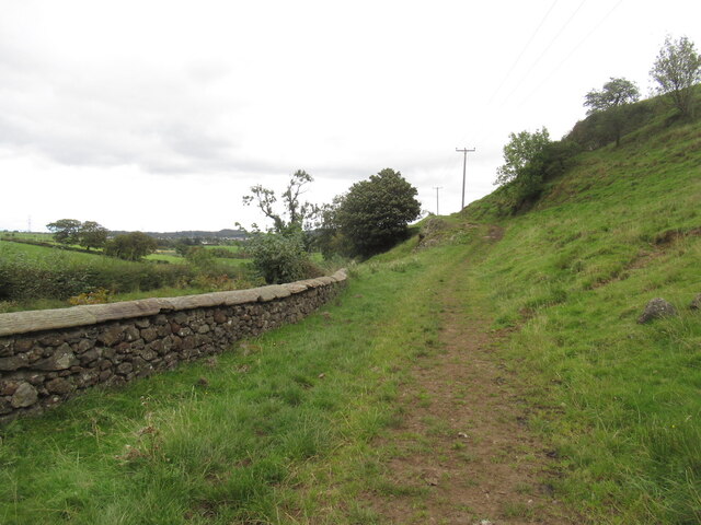
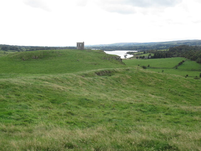
Corsehead Wood offers numerous walking trails, perfect for those seeking a peaceful stroll or a more challenging hike. These trails meander through the forest, leading visitors to hidden gems such as a picturesque pond and a tranquil river. The forest is also home to an abundance of wildlife, including red squirrels, roe deer, and a variety of bird species, making it a paradise for birdwatchers and nature photographers.
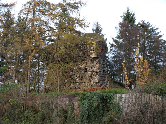
In addition to its natural beauty, Corsehead Wood is also a site of historical significance. The remains of an ancient Roman road can be found within the forest, providing a glimpse into the area's rich past.
Overall, Corsehead Wood is a captivating destination where visitors can immerse themselves in nature, explore its diverse trails, and appreciate its historical significance. Whether one seeks tranquility or adventure, this enchanting forest offers something for everyone.
If you have any feedback on the listing, please let us know in the comments section below.
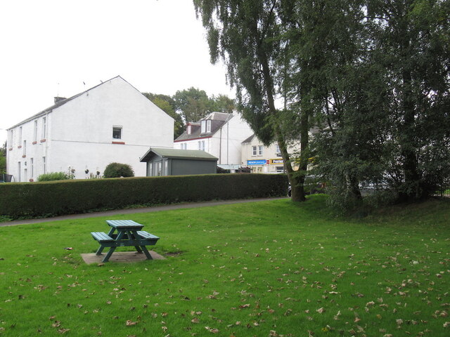
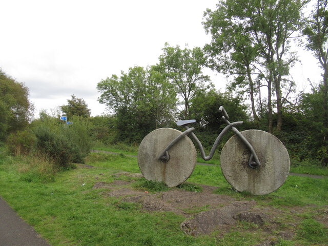
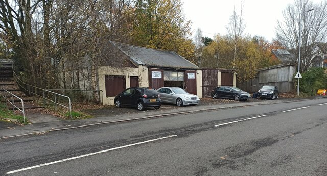
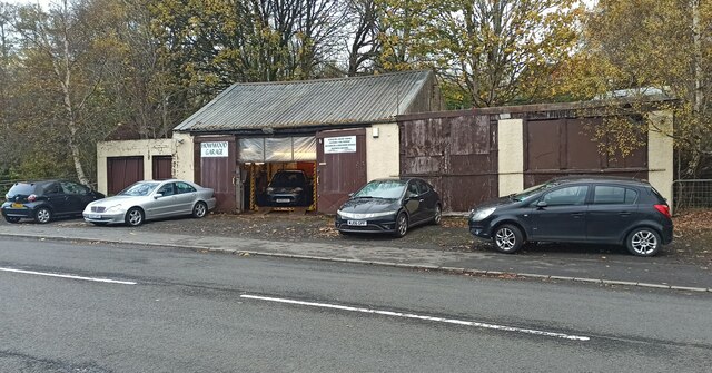
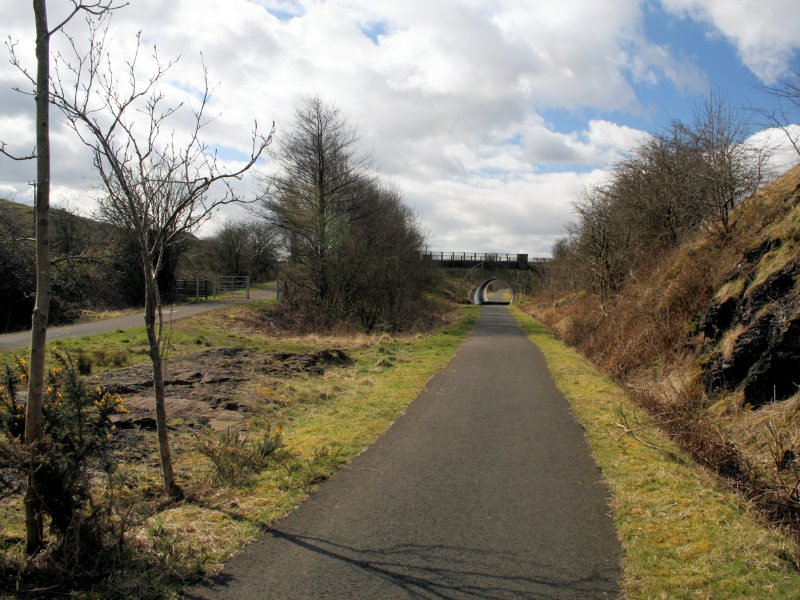
Corsehead Wood Images
Images are sourced within 2km of 55.803463/-4.552649 or Grid Reference NS4059. Thanks to Geograph Open Source API. All images are credited.
Corsehead Wood is located at Grid Ref: NS4059 (Lat: 55.803463, Lng: -4.552649)
Unitary Authority: Renfrewshire
Police Authority: Renfrewshire and Inverclyde
What 3 Words
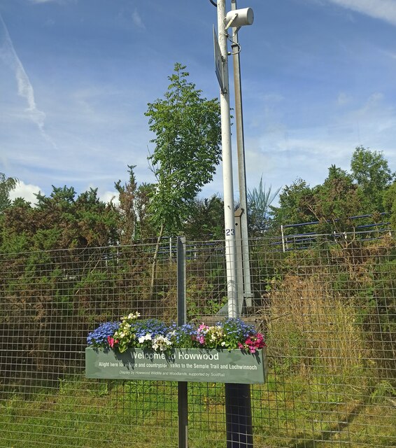
///appointed.tricky.identity. Near Howwood, Renfrewshire
Nearby Locations
Related Wikis

Howwood
Howwood (Scots: The Howewuid, Scottish Gaelic: Coille an Dail) is a village in Renfrewshire, Scotland. It is between Johnstone and Lochwinnoch, just off...
Lands of Elliston
The lands of Elliston, previously Elliotston or Eliotstoun or Elliestoun in the Parish of Lochwinnoch were part of the holdings of the Barony of Elliston...

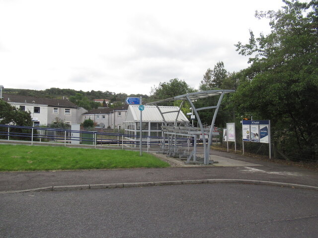
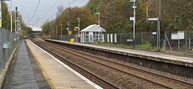
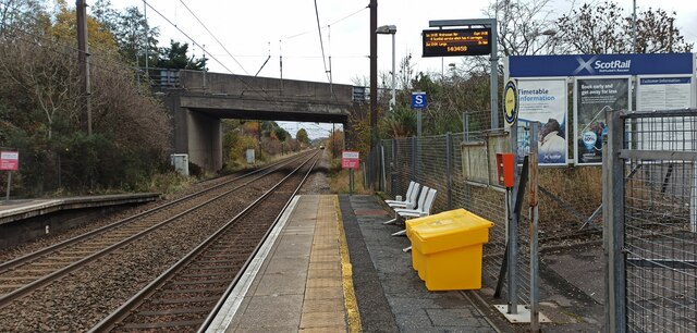
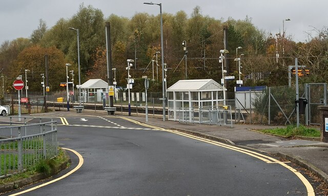
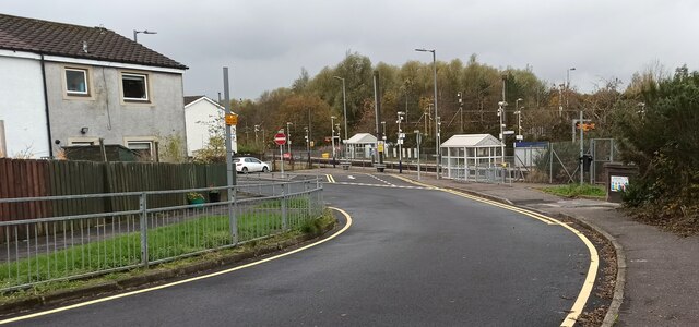
Howwood railway station
Howwood railway station is a railway station serving the village of Howwood, Renfrewshire, Scotland. The station is managed by ScotRail and is on the Ayrshire...

Walls Loch
Walls Loch is situated at a height of 560 feet, below the Walls Hill Iron Age fort and to the east of Broadfield Hill on the lands of North Castlewalls...
Castle Semple railway station
Castle Semple railway station was intended to be a railway station that would have served the village of Howwood, Renfrewshire, Scotland as part of the...

Castle Semple
Castle Semple (previously Castletoun) is a former mansion house located in Renfrewshire, Scotland. It is situated near the eastern end of Castle Semple...
Cochrane Castle
Cochrane Castle was a castle, 1 mile (1.6 km) west of Johnstone, Renfrewshire, Scotland, near the Black Cart Water. == History == The property was owned...
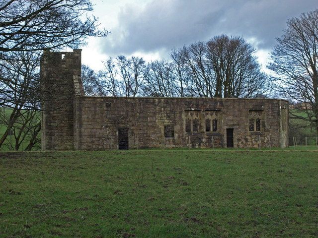
Castle Semple Church
Castle Semple Collegiate Church is located in Renfrewshire, Scotland. It is situated near the eastern end of Castle Semple Loch, within Clyde Muirshiel...
Nearby Amenities
Located within 500m of 55.803463,-4.552649Have you been to Corsehead Wood?
Leave your review of Corsehead Wood below (or comments, questions and feedback).