Broadfield Hill
Hill, Mountain in Renfrewshire
Scotland
Broadfield Hill
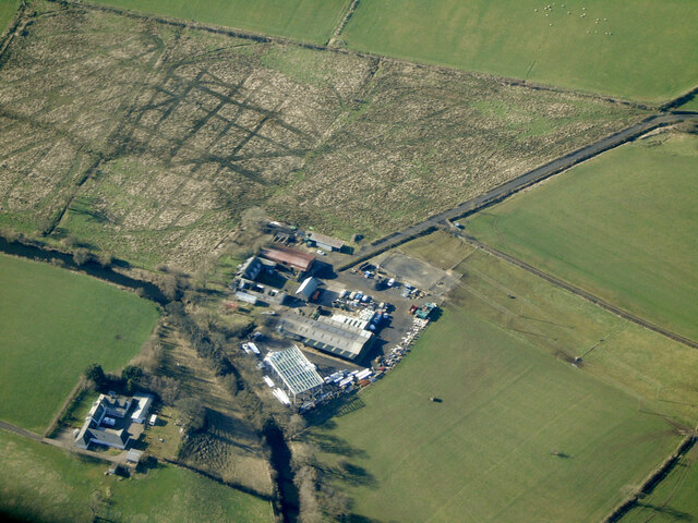
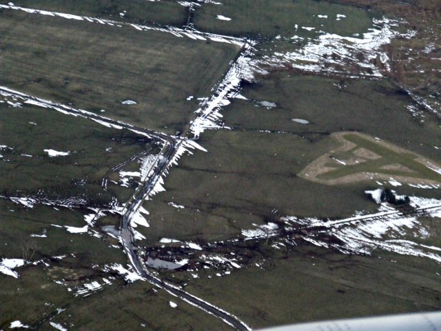
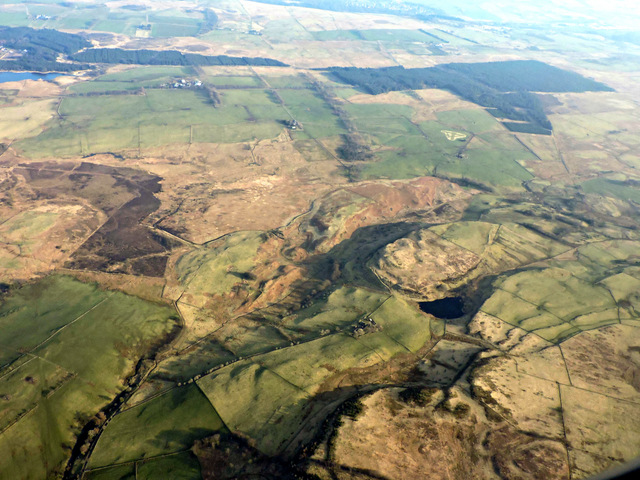
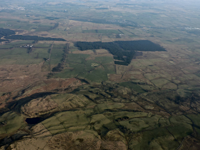
Broadfield Hill is a prominent geographical feature located in the region of Renfrewshire, Scotland. Standing at an elevation of approximately 157 meters (515 feet), it is classified as a hill rather than a mountain. The hill is situated on the outskirts of the town of Paisley, about 11 kilometers (7 miles) west of Glasgow.
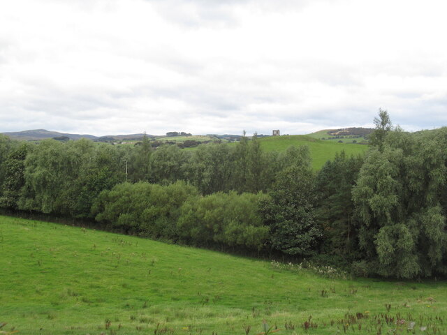
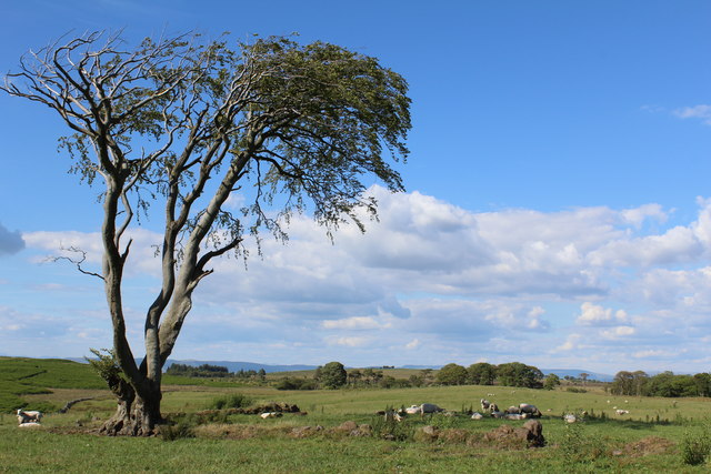
Broadfield Hill is known for its distinctive rounded shape and gentle slopes, making it an accessible destination for hikers and nature enthusiasts. It is primarily covered in grassland and offers panoramic views of the surrounding countryside, including the nearby Gleniffer Braes and the River Clyde.
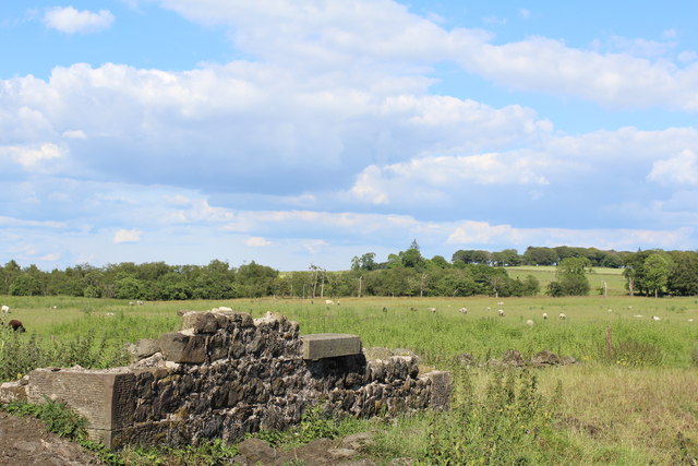
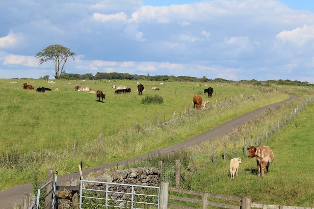
The hill is surrounded by a mixture of residential areas and open countryside, providing a tranquil and picturesque setting. It is also home to a variety of flora and fauna, including heather, gorse, and various bird species.
The summit of Broadfield Hill offers a platform for visitors to enjoy breathtaking vistas of the surrounding landscape, including the distant hills and the urban areas of Paisley and Glasgow. On clear days, it is even possible to catch a glimpse of the towering peaks of the Scottish Highlands.
Overall, Broadfield Hill provides an opportunity for outdoor enthusiasts to immerse themselves in the natural beauty of Renfrewshire, offering a peaceful retreat from the urban bustle of nearby towns and cities.
If you have any feedback on the listing, please let us know in the comments section below.
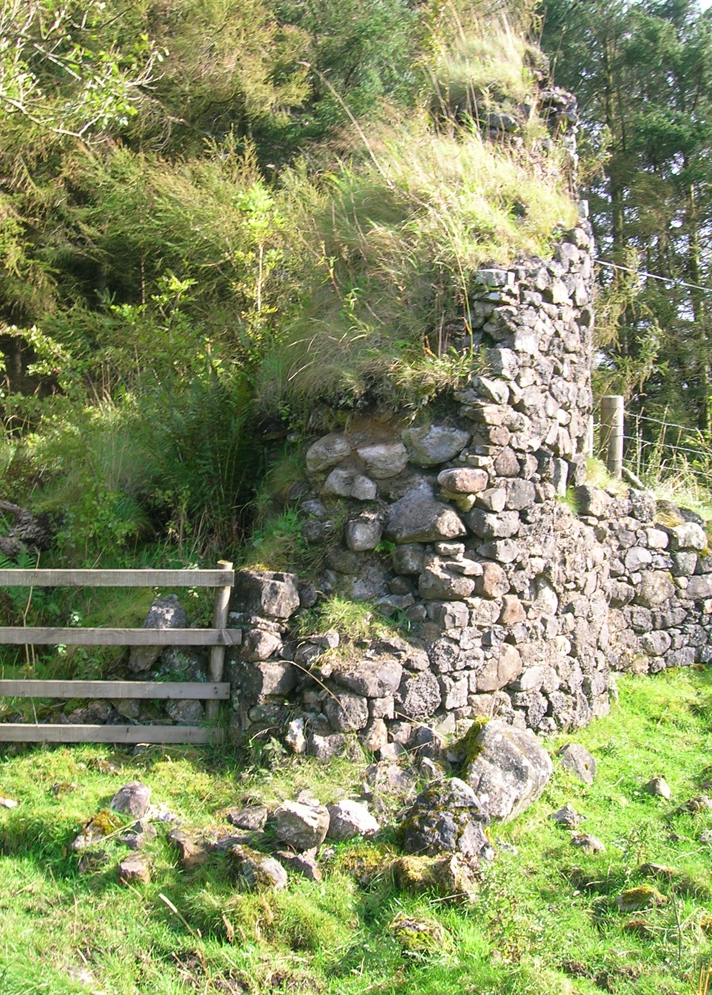
Broadfield Hill Images
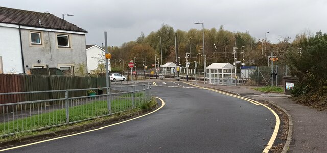
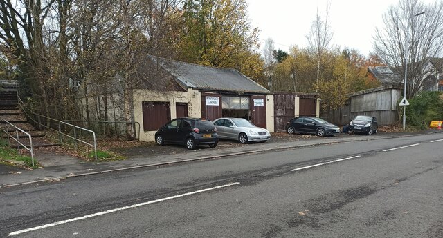
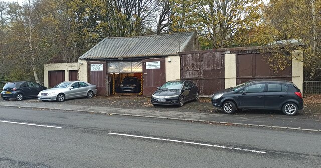
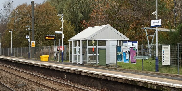
Images are sourced within 2km of 55.799899/-4.5403044 or Grid Reference NS4059. Thanks to Geograph Open Source API. All images are credited.
Broadfield Hill is located at Grid Ref: NS4059 (Lat: 55.799899, Lng: -4.5403044)
Unitary Authority: Renfrewshire
Police Authority: Renfrewshire and Inverclyde
What 3 Words
///strange.fewer.flushes. Near Howwood, Renfrewshire
Nearby Locations
Related Wikis

Walls Loch
Walls Loch is situated at a height of 560 feet, below the Walls Hill Iron Age fort and to the east of Broadfield Hill on the lands of North Castlewalls...

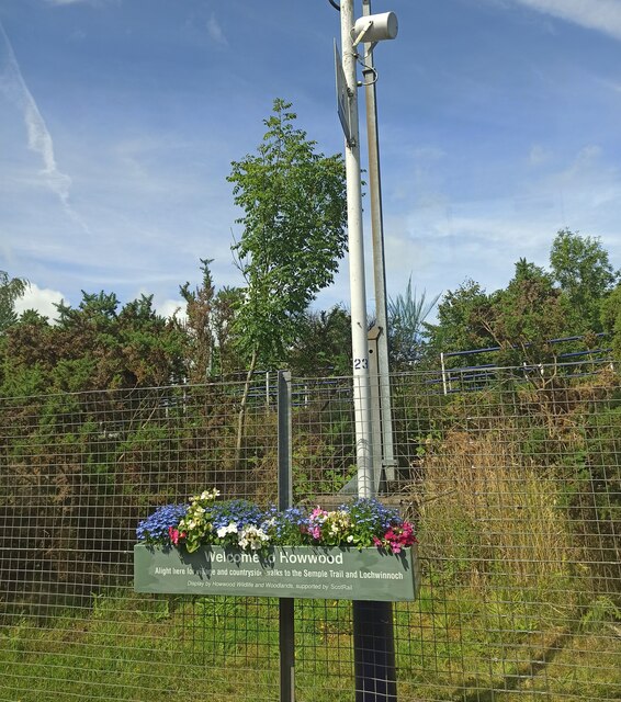
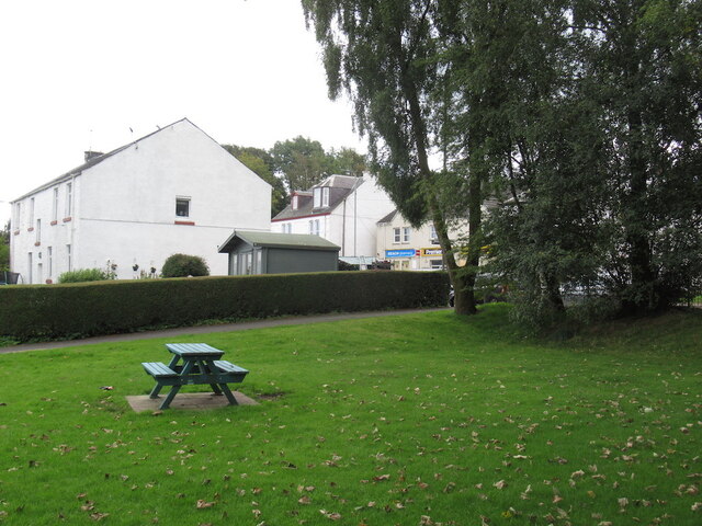
Howwood
Howwood (Scots: The Howewuid, Scottish Gaelic: Coille an Dail) is a village in Renfrewshire, Scotland. It is between Johnstone and Lochwinnoch, just off...
Lands of Elliston
The lands of Elliston, previously Elliotston or Eliotstoun or Elliestoun in the Parish of Lochwinnoch were part of the holdings of the Barony of Elliston...

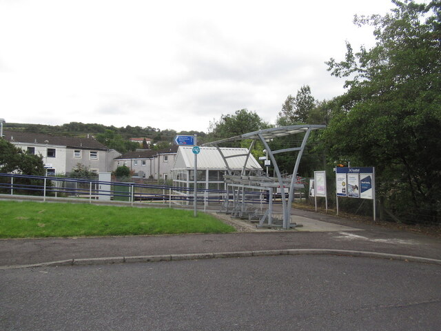
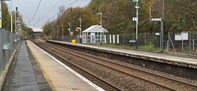
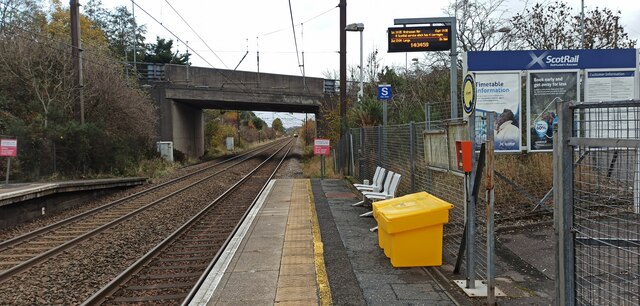
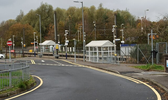
Howwood railway station
Howwood railway station is a railway station serving the village of Howwood, Renfrewshire, Scotland. The station is managed by ScotRail and is on the Ayrshire...
Cochrane Castle
Cochrane Castle was a castle, 1 mile (1.6 km) west of Johnstone, Renfrewshire, Scotland, near the Black Cart Water. == History == The property was owned...
Castle Semple railway station
Castle Semple railway station was intended to be a railway station that would have served the village of Howwood, Renfrewshire, Scotland as part of the...

Milliken Park railway station
Milliken Park railway station serves the west end of Johnstone and the south west of the village of Kilbarchan in Renfrewshire, Scotland. The station is...
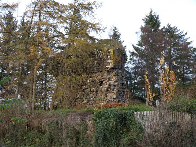
Auchenbathie Tower
Auchenbathie, Auchinbathie Tower or rarely Barcraigs Tower is a ruined fortification, a tower house, once held by the Wallace Clan of Elderslie, situated...
Nearby Amenities
Located within 500m of 55.799899,-4.5403044Have you been to Broadfield Hill?
Leave your review of Broadfield Hill below (or comments, questions and feedback).