Castle Wood
Wood, Forest in Wigtownshire
Scotland
Castle Wood
Castle Wood is a picturesque forest located in Wigtownshire, a historical county in southwest Scotland. Spread over a vast area, this enchanting woodland is known for its diverse flora and fauna as well as its rich history.
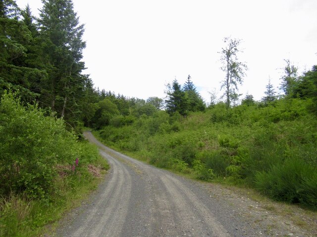
The forest is characterized by its dense foliage and towering trees, creating a serene and peaceful atmosphere. The variety of tree species found in Castle Wood includes oak, beech, birch, and pine, among others. This biodiversity attracts a wide range of bird species, making it a haven for birdwatchers and nature enthusiasts.
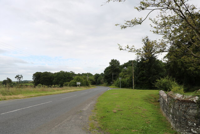
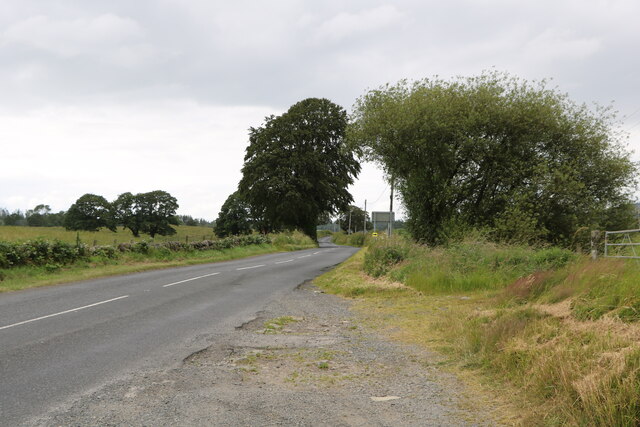
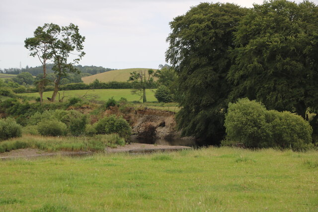
Within Castle Wood, there are several well-preserved walking trails that allow visitors to explore the forest's beauty at their own pace. These trails offer breathtaking views of the surrounding countryside, showcasing the natural beauty of Wigtownshire. Visitors can also stumble upon hidden gems like small streams and tranquil ponds as they wander through the forest.
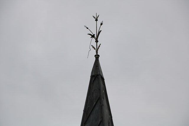
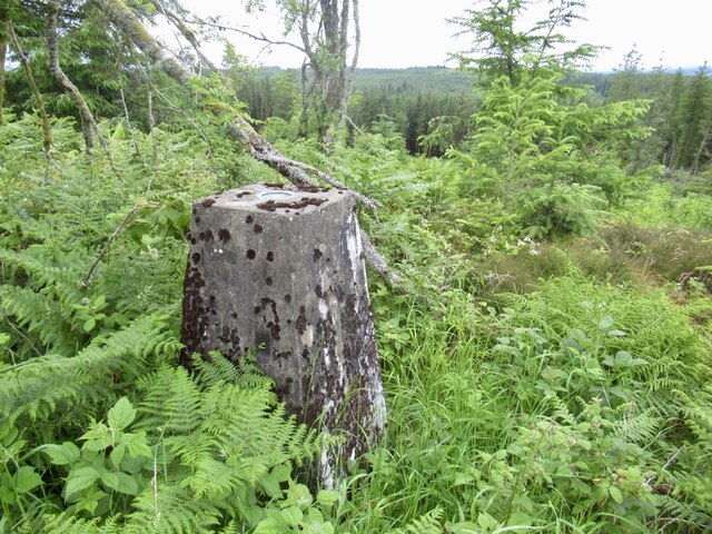
The history of Castle Wood adds to its allure. The forest is home to the ruins of an ancient castle, which dates back to the medieval era. The castle's remnants provide a glimpse into the region's past, making it an intriguing destination for history buffs.
Castle Wood, with its idyllic setting, diverse wildlife, and historical significance, is a must-visit destination for those seeking a tranquil retreat or a deeper connection with nature. Whether it's a leisurely walk, birdwatching, or discovering the region's history, this enchanting woodland offers something for everyone.
If you have any feedback on the listing, please let us know in the comments section below.
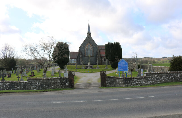
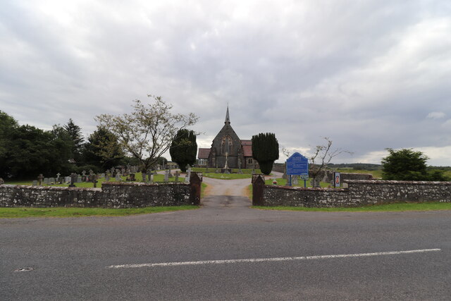
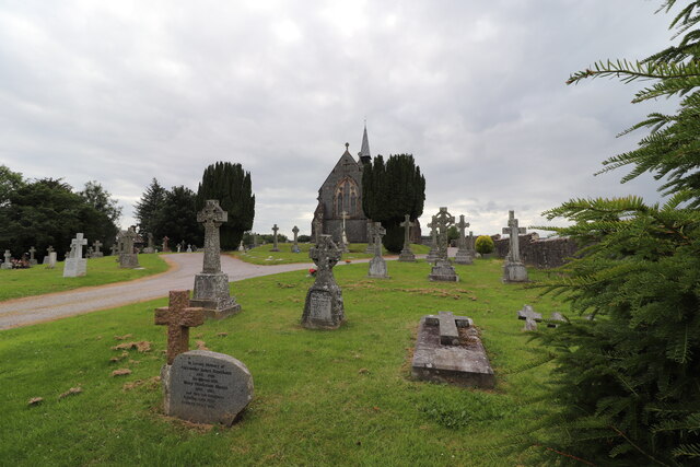
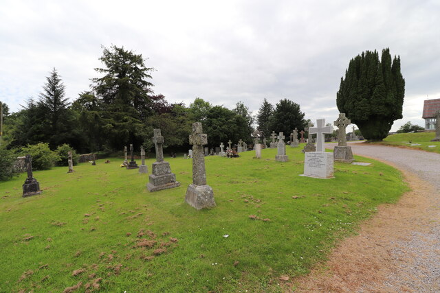
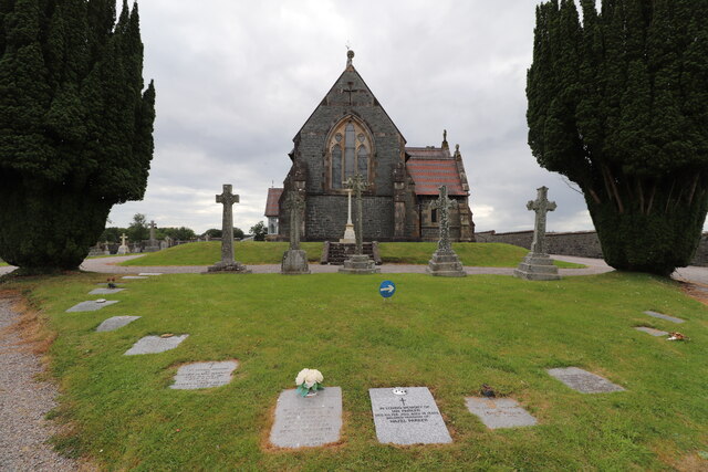
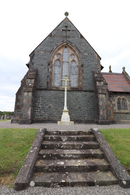
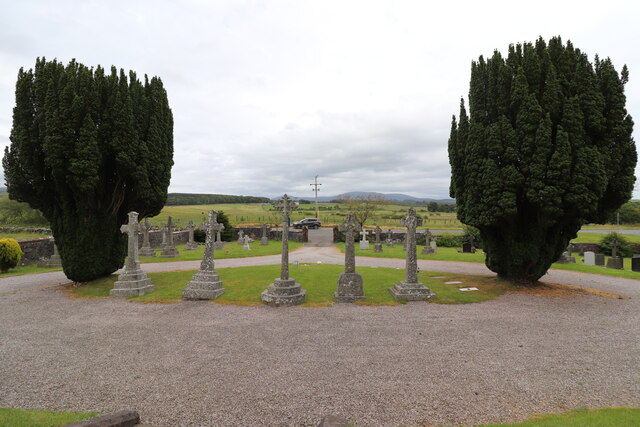
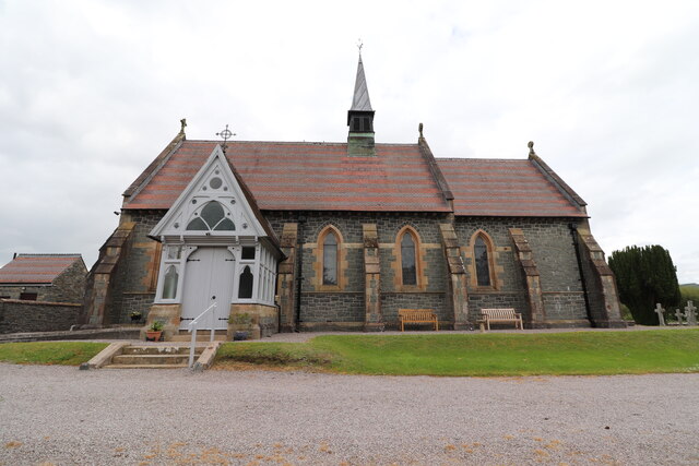
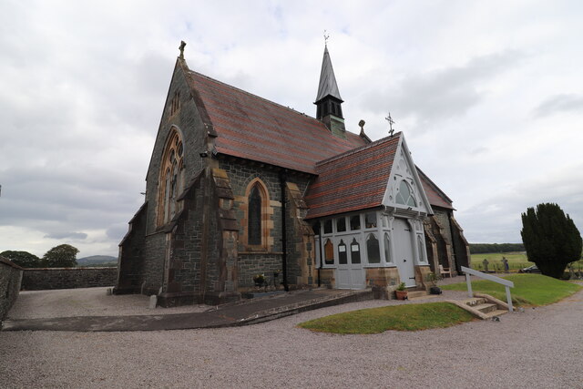
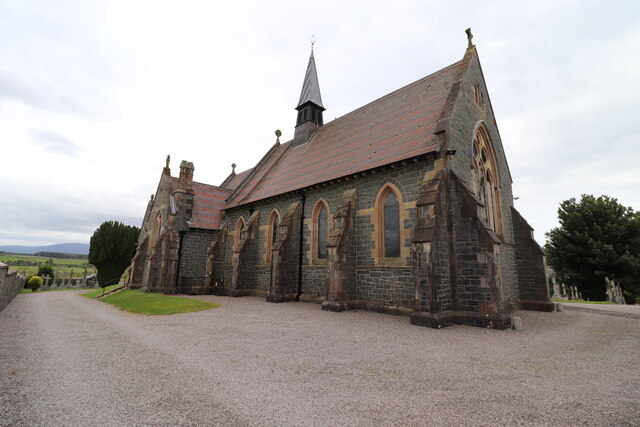
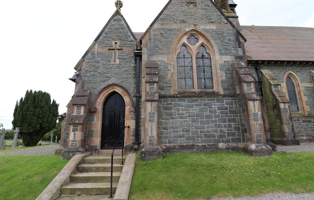
Castle Wood Images
Images are sourced within 2km of 54.98555/-4.5324801 or Grid Reference NX3868. Thanks to Geograph Open Source API. All images are credited.
Castle Wood is located at Grid Ref: NX3868 (Lat: 54.98555, Lng: -4.5324801)
Unitary Authority: Dumfries and Galloway
Police Authority: Dumfries and Galloway
What 3 Words
///developed.colder.flow. Near Newton Stewart, Dumfries & Galloway
Nearby Locations
Related Wikis

Wood of Cree
Wood of Cree is a nature reserve in Dumfries and Galloway, Scotland. Located approximately 4 miles (6.4 km) north north-west of Newton Stewart, it is managed...

Minnigaff
Minnigaff is a village and civil parish in the historic county of Kirkcudbrightshire in Dumfries and Galloway, Scotland. Lead was discovered there in...

Newton Stewart F.C.
Newton Stewart Football Club are a football club from the town of Newton Stewart in the Dumfries and Galloway area of Scotland. Formed in 1880, as Newton...
Douglas Ewart High School
Douglas Ewart High School was opened in 1922 in Newton Stewart, Scotland. It was formed by the amalgamation of the Douglas Free School opened in 1834...

Newton Stewart
Newton Stewart (Gd: Baile Ùr nan Stiùbhartach) is a former burgh town in the historical county of Wigtownshire in Dumfries and Galloway, southwest Scotland...
Penninghame
Penninghame in Wigtownshire, Dumfries and Galloway, Scotland, is a civil parish area, 8 miles (N. W.) from Wigtown. The area is approx 16 miles in length...

Newton Stewart railway station
Newton Stewart railway station served the town of Newton Stewart, Dumfries and Galloway, Scotland from 1861 to 1965 on the Portpatrick and Wigtownshire...

McMillan Hall, Newton Stewart
The McMillan Hall is a municipal building in Dashwood Square in Newton Stewart, Dumfries and Galloway, Scotland. The structure, which is used as a community...
Nearby Amenities
Located within 500m of 54.98555,-4.5324801Have you been to Castle Wood?
Leave your review of Castle Wood below (or comments, questions and feedback).