Mount Charles Wood
Wood, Forest in Ayrshire
Scotland
Mount Charles Wood

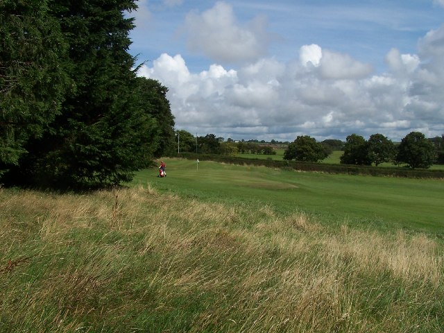
Mount Charles Wood is a picturesque forest located in Ayrshire, Scotland. Situated on the slopes of Mount Charles, the wood covers an expansive area of approximately 50 acres. It is a popular destination for nature lovers, hikers, and those seeking tranquility amidst lush greenery.
The wood is characterized by a diverse range of tree species, including oak, ash, beech, and birch. These majestic trees create a dense canopy, offering shade and shelter to a wide variety of fauna. The forest floor is covered in a thick carpet of moss and ferns, adding to the enchanting atmosphere.
A network of well-maintained paths and trails wind their way through Mount Charles Wood, allowing visitors to explore its beauty at their leisure. These paths cater to different levels of difficulty, making it accessible for all ages and fitness levels. Along the way, hikers can enjoy breathtaking views of the surrounding countryside and glimpses of local wildlife, such as squirrels, deer, and a variety of bird species.
The wood also features several picnic areas, making it an ideal spot for families and groups to relax and enjoy a meal amidst nature. In addition, there are designated areas for camping and barbecues, providing an opportunity for overnight stays and outdoor cooking experiences.
Mount Charles Wood is not only a haven for recreational activities but also serves as an important ecological site. It is managed by local authorities who strive to preserve its natural beauty and protect the diverse range of flora and fauna that call it home.
Overall, Mount Charles Wood is a cherished natural gem in Ayrshire, offering visitors a chance to escape the hustle and bustle of everyday life and immerse themselves in the tranquil beauty of nature.
If you have any feedback on the listing, please let us know in the comments section below.
Mount Charles Wood Images
Images are sourced within 2km of 55.473774/-4.563489 or Grid Reference NS3822. Thanks to Geograph Open Source API. All images are credited.


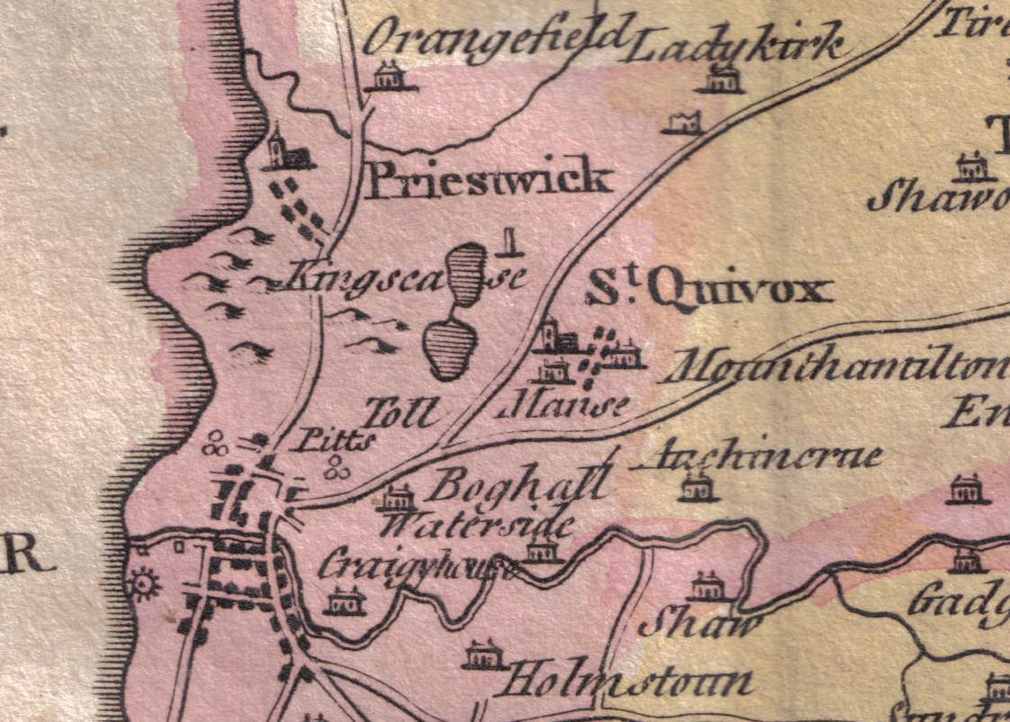
Mount Charles Wood is located at Grid Ref: NS3822 (Lat: 55.473774, Lng: -4.563489)
Unitary Authority: South Ayrshire
Police Authority: Ayrshire
What 3 Words
///victor.intention.waitress. Near Mossblown, South Ayrshire
Nearby Locations
Related Wikis
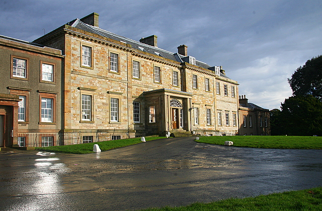
Auchincruive
Auchincruive is a former country house and estate in South Ayrshire, Scotland. It is located 4 kilometres (2.5 mi) east of Ayr, on the north bank of the...
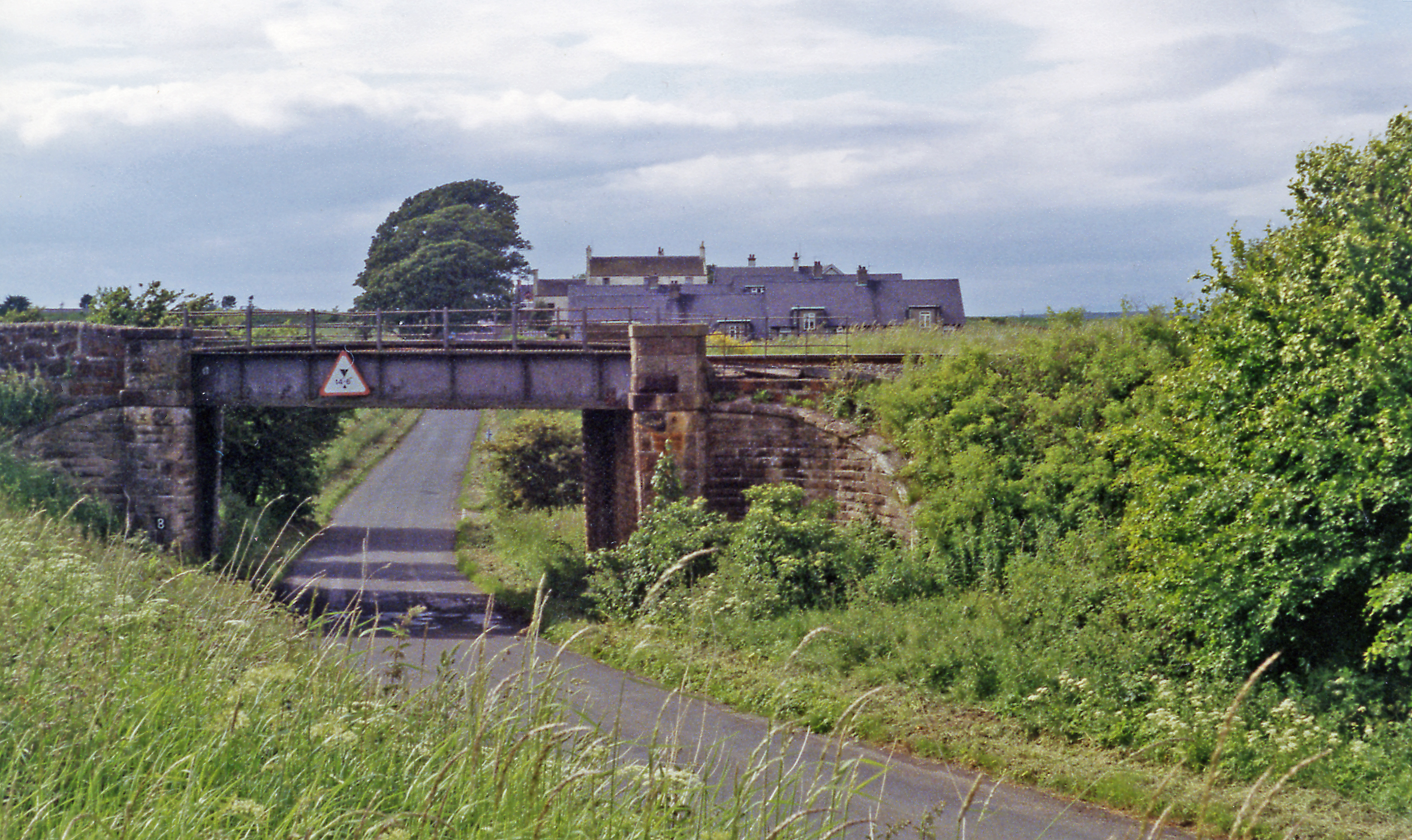
Auchincruive railway station
Auchincruive railway station was a railway station serving the settlement of St Quivox and the estate of Auchincruive, South Ayrshire, Scotland. The station...

Annbank
Annbank is a village in South Ayrshire, Scotland. It is around five miles east of Ayr. Originally a mining settlement, it once had a rail link to Ayr via...
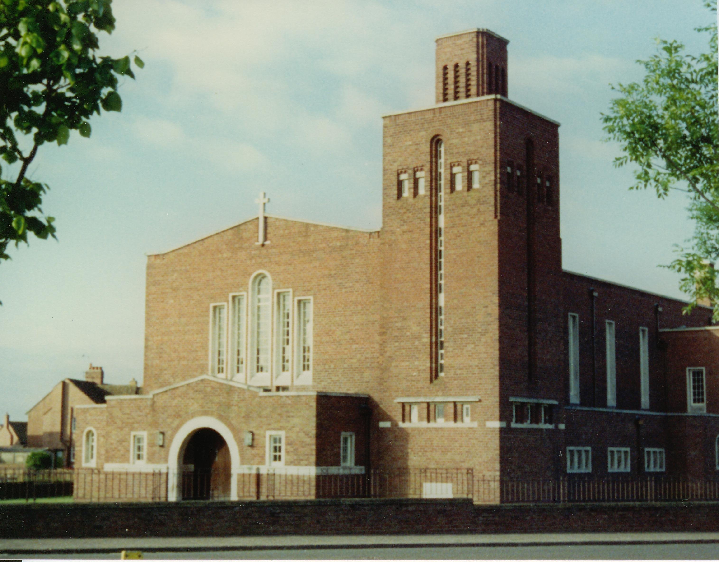
Good Shepherd Cathedral, Ayr
The Good Shepherd Cathedral in Ayr, South Ayrshire, Scotland was the cathedral church of the Roman Catholic Diocese of Galloway. == History == The Church...
Annbank United F.C.
Annbank United Football Club are a Scottish football club from Annbank, South Ayrshire. Formed in 1939, they are based at New Pebble Park and are nicknamed...
RAF Heathfield
Royal Air Force Heathfield, or more commonly RAF Heathfield, sometimes known as RAF Ayr/Heathfield due to its proximity to Glasgow Prestwick Airport, which...
Newton Loch, South Ayrshire
Newton Loch was situated in a low-lying area near Newton-on-Ayr, South Ayrshire, just south of the old South and West Sanquhar Farms. It is now (2016)...

Gadgirth Old Ha'
The castle known as Gadgirth Old Ha' or Gadgirth Old Hall, was the first castle at Gadgirth, held by the Chalmer family, standing on a whinstone promontory...
Nearby Amenities
Located within 500m of 55.473774,-4.563489Have you been to Mount Charles Wood?
Leave your review of Mount Charles Wood below (or comments, questions and feedback).