Bridge Wood
Wood, Forest in Ayrshire
Scotland
Bridge Wood
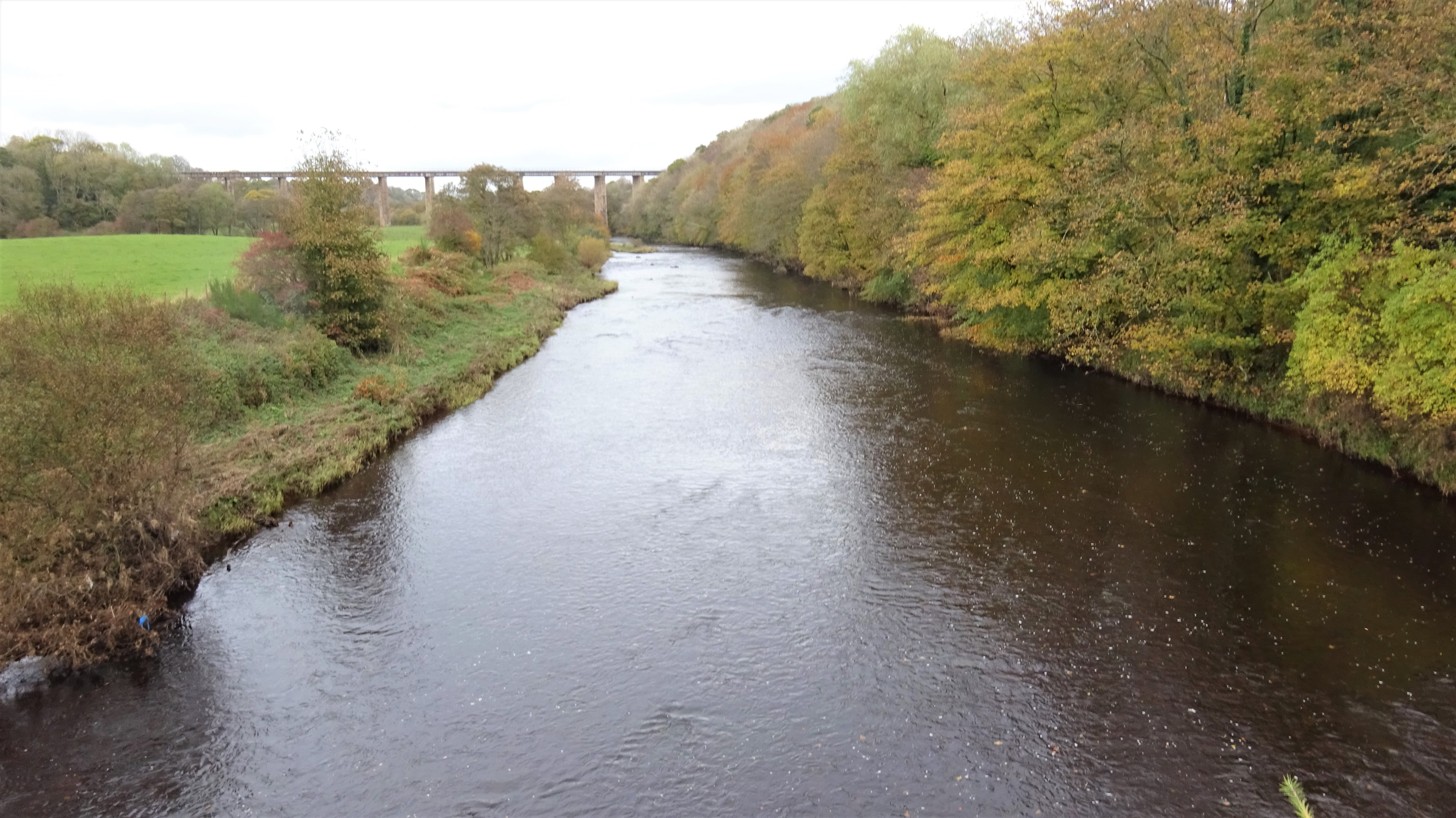
Bridge Wood is a picturesque forest located in Ayrshire, Scotland. Covering an area of approximately 50 hectares, it is a popular destination for nature enthusiasts and outdoor lovers. The wood is situated near the town of Ayr, just a short distance away from the River Ayr, which adds to its serene and tranquil ambiance.
The wood is predominantly composed of native broadleaf trees, including oak, birch, and rowan, which create a diverse and vibrant ecosystem. This rich variety of vegetation provides shelter and a habitat for numerous species of birds, mammals, and insects. Visitors can expect to encounter a range of wildlife, including red squirrels, woodpeckers, and various songbirds.
There are several well-maintained walking paths and trails that meander through Bridge Wood, allowing visitors to explore the area at their own pace. The paths offer stunning views of the surrounding countryside, and there are designated picnic areas where visitors can relax and enjoy a picnic amidst the natural beauty. Additionally, the wood is equipped with informative signposts that provide interesting facts about the local flora and fauna, enhancing the educational aspect of the visit.
Bridge Wood is easily accessible, with ample parking available for visitors. The wood is open to the public throughout the year, and admission is free. It is a fantastic place for families, couples, or individuals seeking a peaceful escape from the hustle and bustle of everyday life. Whether it is for a leisurely stroll, birdwatching, or simply immersing oneself in nature, Bridge Wood offers a serene and captivating experience for all who visit.
If you have any feedback on the listing, please let us know in the comments section below.
Bridge Wood Images
Images are sourced within 2km of 55.473152/-4.5532734 or Grid Reference NS3822. Thanks to Geograph Open Source API. All images are credited.
![Annbank Community Centre and Football Ground With the main road [Weston Avenue, B744] and Goodwin Drive to its left.](https://s1.geograph.org.uk/geophotos/03/54/53/3545329_da011822.jpg)


Bridge Wood is located at Grid Ref: NS3822 (Lat: 55.473152, Lng: -4.5532734)
Unitary Authority: South Ayrshire
Police Authority: Ayrshire
What 3 Words
///trying.descended.endlessly. Near Mossblown, South Ayrshire
Nearby Locations
Related Wikis
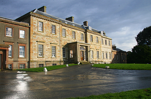
Auchincruive
Auchincruive is a former country house and estate in South Ayrshire, Scotland. It is located 4 kilometres (2.5 mi) east of Ayr, on the north bank of the...

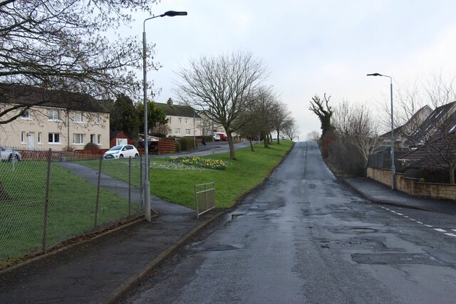
Annbank
Annbank is a village in South Ayrshire, Scotland. It is around five miles east of Ayr. Originally a mining settlement, it once had a rail link to Ayr via...
Annbank United F.C.
Annbank United Football Club are a Scottish football club from Annbank, South Ayrshire. Formed in 1939, they are based at New Pebble Park and are nicknamed...
Auchincruive railway station
Auchincruive railway station was a railway station serving the settlement of St Quivox and the estate of Auchincruive, South Ayrshire, Scotland. The station...

Gadgirth Old Ha'
The castle known as Gadgirth Old Ha' or Gadgirth Old Hall, was the first castle at Gadgirth, held by the Chalmer family, standing on a whinstone promontory...
Castle and Barony of Gadgirth
The Castle and Barony of Gadgirth was held by the Chalmer family, originally De Camera, with successive castles and a mansion house overlooking the River...

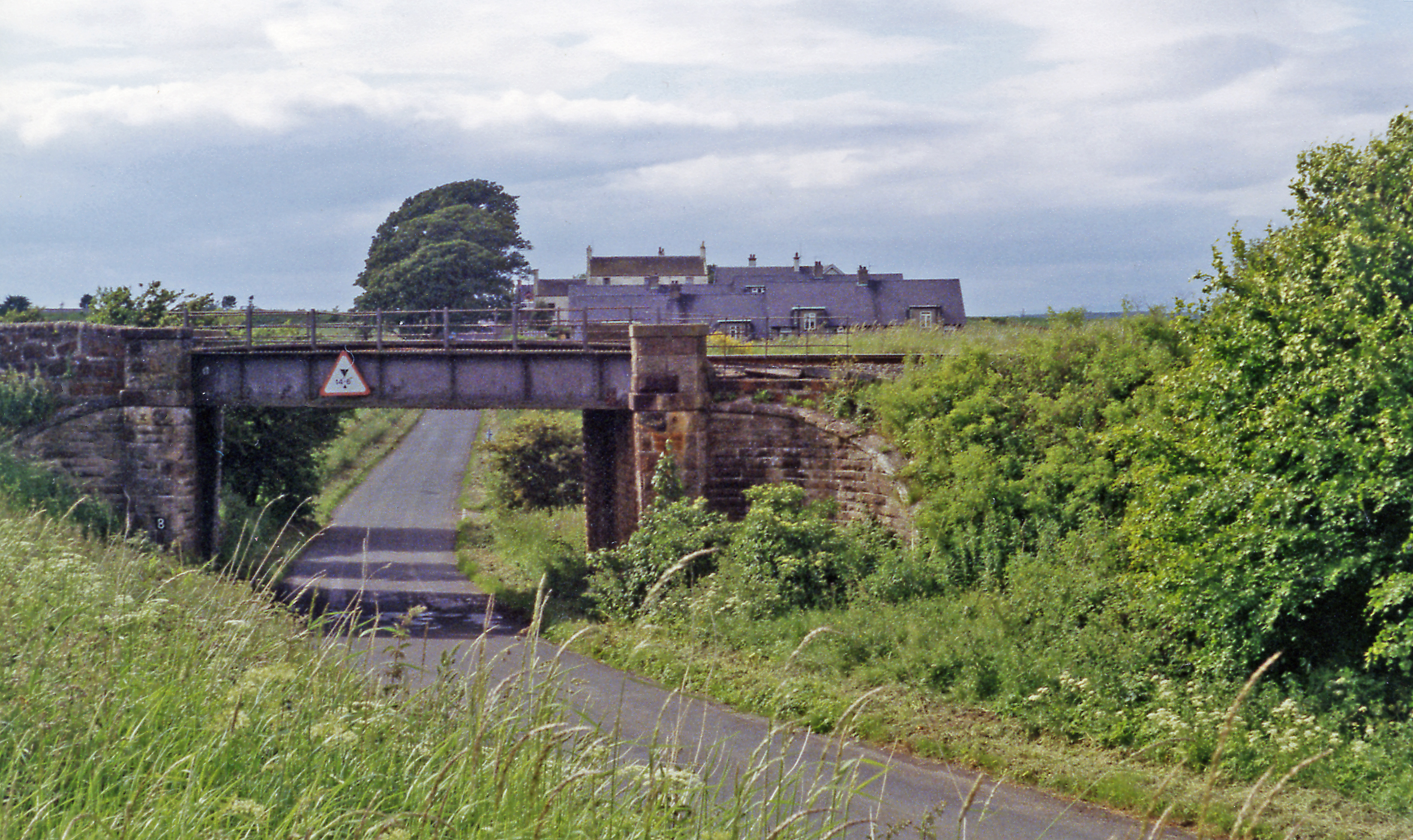
Weston Bridge Halt railway station
Weston Bridge Platform railway station or Weston Bridge Halt railway station was opened to serve miners travelling to the Ayr Colliery No. 9 Pit that stood...

Annbank railway station
Annbank railway station was a railway station serving the villages of Annbank and Mossblown, South Ayrshire, Scotland. The station was part of the Ayr...
Nearby Amenities
Located within 500m of 55.473152,-4.5532734Have you been to Bridge Wood?
Leave your review of Bridge Wood below (or comments, questions and feedback).