Cairndoon Plantation
Wood, Forest in Wigtownshire
Scotland
Cairndoon Plantation

Cairndoon Plantation is a picturesque woodland located in Wigtownshire, Scotland. Covering an area of approximately 500 acres, the plantation is renowned for its natural beauty and diverse range of flora and fauna. Situated near the village of Cairndoon, the plantation is easily accessible by road and attracts visitors from near and far.
The woodland comprises a mix of native tree species, including oak, beech, ash, and birch, creating a rich and varied ecosystem. The thick canopy provides shelter for a variety of bird species, making it a popular destination for birdwatchers. Visitors can often spot species such as woodpeckers, owls, and various songbirds.
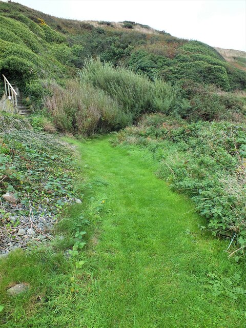
Tranquil walking trails meander through the plantation, offering visitors the opportunity to immerse themselves in the peaceful surroundings. The trails are well-maintained and suitable for all levels of ability, making it an ideal location for families and nature enthusiasts alike.
Cairndoon Plantation also holds historical significance, with remnants of an ancient settlement discovered within its boundaries. Archaeological investigations have revealed evidence of a prehistoric settlement, including remains of stone structures and tools. This adds an additional layer of intrigue and fascination for those interested in the region's rich history.
Overall, Cairndoon Plantation is a hidden gem in Wigtownshire, offering visitors a chance to reconnect with nature, explore its diverse woodland, and delve into its ancient past. Whether it's for a leisurely stroll, birdwatching, or a glimpse into the area's history, Cairndoon Plantation provides a memorable experience for all who visit.
If you have any feedback on the listing, please let us know in the comments section below.
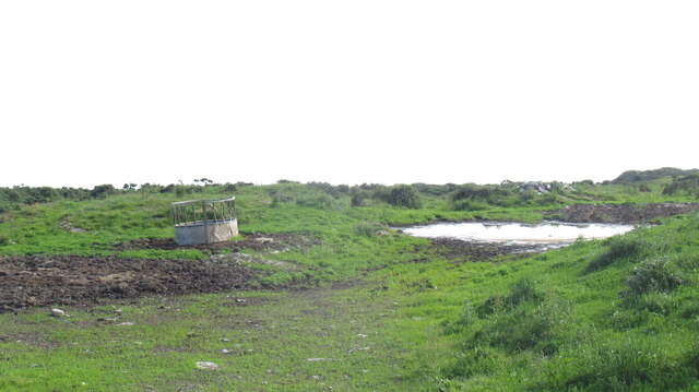
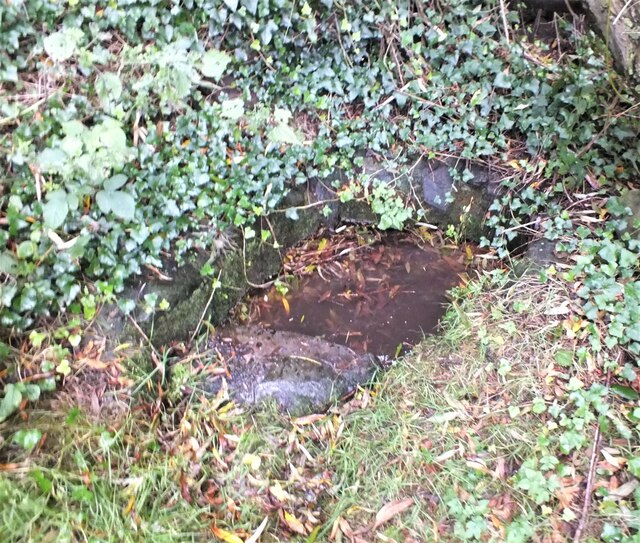
Cairndoon Plantation Images
Images are sourced within 2km of 54.724252/-4.5059476 or Grid Reference NX3839. Thanks to Geograph Open Source API. All images are credited.


Cairndoon Plantation is located at Grid Ref: NX3839 (Lat: 54.724252, Lng: -4.5059476)
Unitary Authority: Dumfries and Galloway
Police Authority: Dumfries and Galloway
What 3 Words
///hounded.jammy.opened. Near Whithorn, Dumfries & Galloway
Nearby Locations
Related Wikis

Monreith
Monreith ([mɒn'ri:θ] / 'mon-REETH'; Scottish Gaelic: Am Monadh Rèidh) is a small seaside village in the Machars, in the historical county of Wigtownshire...

Wren's Egg
The Wren's Egg (grid reference NX 3610 4199) is the name given to a set of late Neolithic or Bronze Age stone monuments in the parish of Glasserton, Wigtownshire...
Glasserton
Glasserton is a civil parish in Dumfries and Galloway, south-west Scotland. It is on the Machars peninsula, in the traditional county of Wigtownshire....
Rispain Camp
Rispain Camp is the remains of a fortified farmstead 1 mile west of Whithorn, Dumfries and Galloway, Scotland. It is one of the major Iron Age archaeological...

Monreith House
Monreith House is a category A listed Georgian mansion located 1.5 kilometres (0.93 mi) east of the village of Port William in Mochrum parish in the historical...

St Ninian's Cave
St Ninian's Cave is a cave in Physgill Glen, Whithorn, Dumfries and Galloway, Scotland. It features in the climax of the acclaimed 1973 horror film The...

Drumtroddan standing stones
The Drumtroddan standing stones (grid reference NX 36449 44300) are a small Neolithic or Bronze Age stone alignment in the parish of Mochrum, Wigtownshire...

Whithorn Priory
Whithorn Priory was a medieval Scottish monastery that also served as a cathedral, located at 6 Bruce Street in Whithorn, Wigtownshire, Dumfries and Galloway...
Related Videos

Monrieth Beach near Port William South West Scotland
Monrieth Beach on beautiful sunny day south west Scotland.
Nearby Amenities
Located within 500m of 54.724252,-4.5059476Have you been to Cairndoon Plantation?
Leave your review of Cairndoon Plantation below (or comments, questions and feedback).