Burn Foot Plantation
Wood, Forest in Wigtownshire
Scotland
Burn Foot Plantation
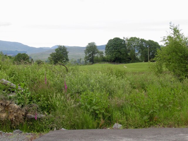
Burn Foot Plantation is a picturesque woodland located in Wigtownshire, a historic county in southwest Scotland. This enchanting forest covers an area of approximately 300 acres and is nestled between the villages of Kirkinner and Sorbie. The plantation is well-known for its diverse range of tree species, making it a haven for nature enthusiasts and walkers alike.
The woodland features a mix of native trees, including oak, birch, and rowan, alongside non-native species such as Sitka spruce and Douglas fir. This blend of trees creates a rich and varied habitat, providing a home for numerous wildlife species. Visitors to Burn Foot Plantation can expect to encounter an array of birdlife, including woodpeckers, buzzards, and tawny owls, as well as small mammals like red squirrels, badgers, and roe deer.
A network of well-maintained footpaths weaves through the plantation, allowing visitors to explore its beauty and tranquility. The paths lead to scenic viewpoints, offering stunning vistas of the surrounding countryside. Additionally, there are designated picnic areas where visitors can relax and enjoy the peaceful atmosphere.
Burn Foot Plantation is managed by the local forestry authority, ensuring the conservation of its natural beauty and biodiversity. The woodland not only provides a recreational space for outdoor enthusiasts but also serves as a sustainable source of timber for the local community.
In conclusion, Burn Foot Plantation is a captivating woodland retreat in Wigtownshire, Scotland. With its diverse range of trees, abundant wildlife, and well-maintained footpaths, it offers visitors a chance to immerse themselves in the beauty of nature while providing valuable resources for the community.
If you have any feedback on the listing, please let us know in the comments section below.
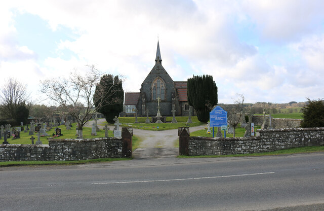
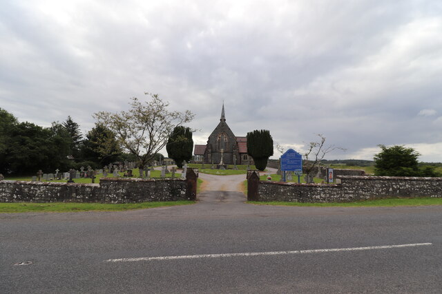
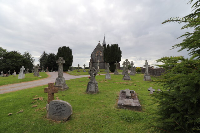
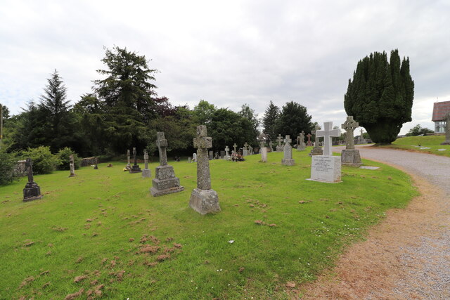
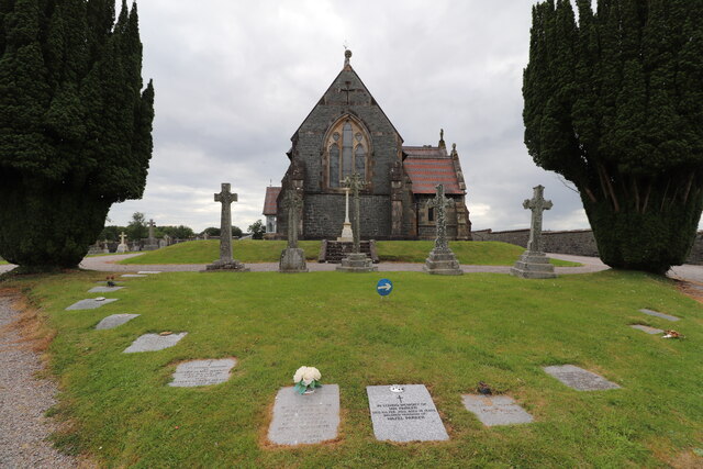
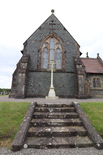
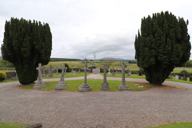
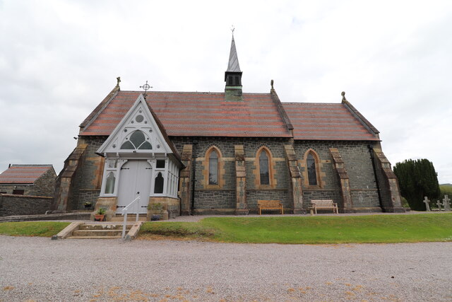
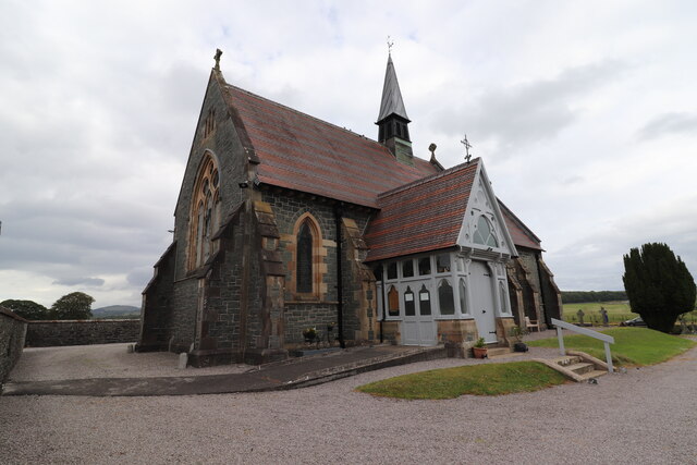
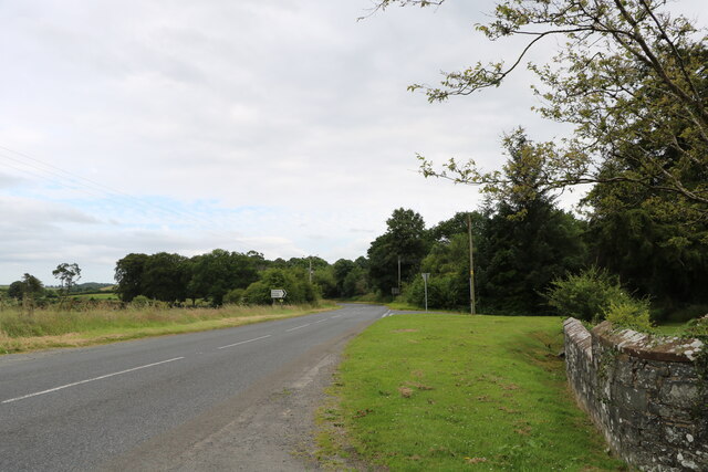
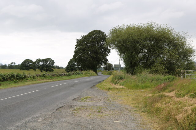
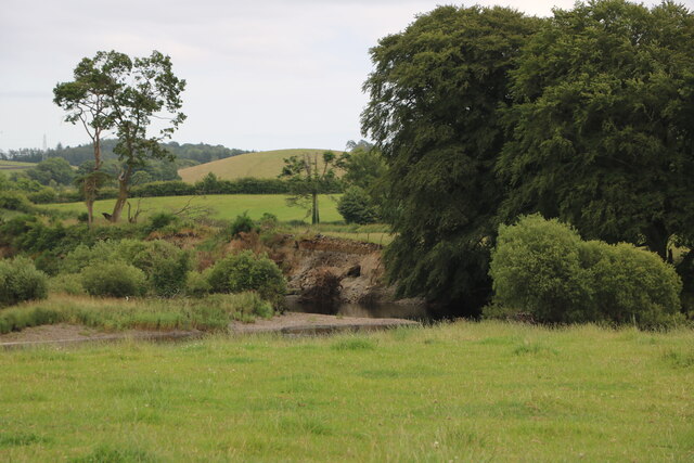
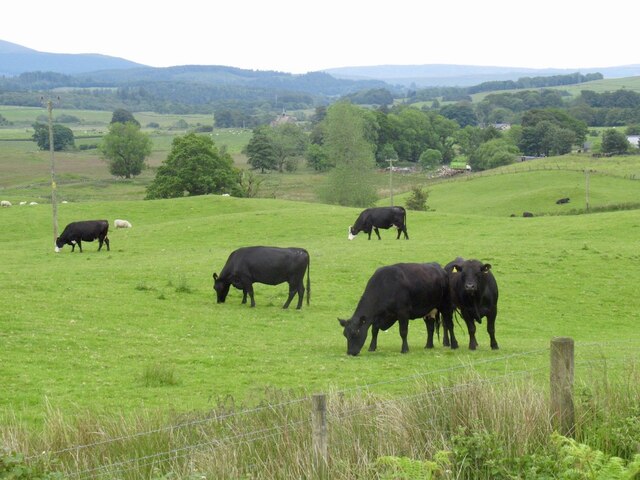
Burn Foot Plantation Images
Images are sourced within 2km of 54.985909/-4.5243272 or Grid Reference NX3868. Thanks to Geograph Open Source API. All images are credited.
Burn Foot Plantation is located at Grid Ref: NX3868 (Lat: 54.985909, Lng: -4.5243272)
Unitary Authority: Dumfries and Galloway
Police Authority: Dumfries and Galloway
What 3 Words
///hacking.postings.sour. Near Newton Stewart, Dumfries & Galloway
Nearby Locations
Related Wikis

Wood of Cree
Wood of Cree is a nature reserve in Dumfries and Galloway, Scotland. Located approximately 4 miles (6.4 km) north north-west of Newton Stewart, it is managed...

Minnigaff
Minnigaff is a village and civil parish in the historic county of Kirkcudbrightshire in Dumfries and Galloway, Scotland. Lead was discovered there in...
Douglas Ewart High School
Douglas Ewart High School was opened in 1922 in Newton Stewart, Scotland. It was formed by the amalgamation of the Douglas Free School opened in 1834...

Newton Stewart F.C.
Newton Stewart Football Club are a football club from the town of Newton Stewart in the Dumfries and Galloway area of Scotland. Formed in 1880, as Newton...

Newton Stewart
Newton Stewart (Gd: Baile Ùr nan Stiùbhartach) is a former burgh town in the historical county of Wigtownshire in Dumfries and Galloway, southwest Scotland...
Penninghame
Penninghame in Wigtownshire, Dumfries and Galloway, Scotland, is a civil parish area, 8 miles (N. W.) from Wigtown. The area is approx 16 miles in length...

Newton Stewart railway station
Newton Stewart railway station served the town of Newton Stewart, Dumfries and Galloway, Scotland from 1861 to 1965 on the Portpatrick and Wigtownshire...

McMillan Hall, Newton Stewart
The McMillan Hall is a municipal building in Dashwood Square in Newton Stewart, Dumfries and Galloway, Scotland. The structure, which is used as a community...
Nearby Amenities
Located within 500m of 54.985909,-4.5243272Have you been to Burn Foot Plantation?
Leave your review of Burn Foot Plantation below (or comments, questions and feedback).