Gallow Hill Plantation

Wood, Forest in Wigtownshire

Scotland

Gallow Hill Plantation

All Saints' Church, Challoch Looking over the A714.
All Saints' Church, Challoch Credit: Billy McCrorie

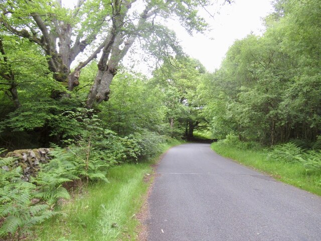
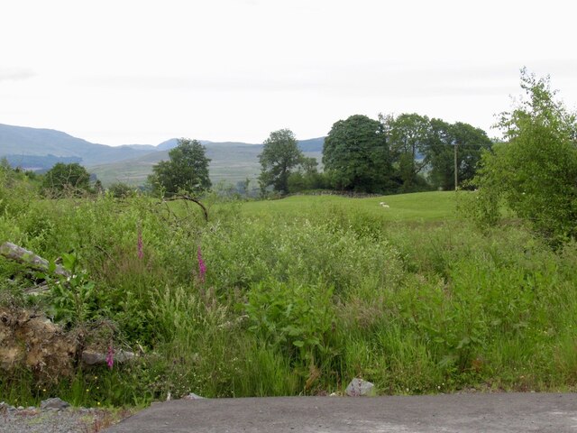
Gallow Hill Plantation is a picturesque woodland located in Wigtownshire, Scotland. Spanning over a vast area, it is well-known for its natural beauty and diverse ecosystem. The plantation is situated on the slopes of Gallow Hill, which provides stunning panoramic views of the surrounding countryside.

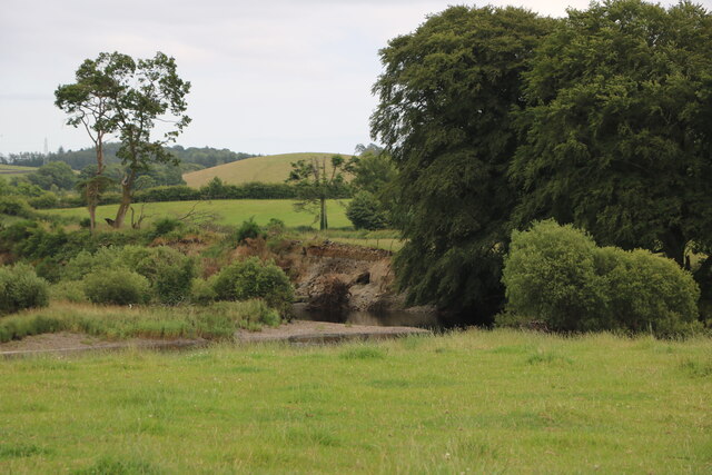
The woodland predominantly consists of native tree species such as oak, birch, and beech, creating a rich and vibrant environment. The dense canopy formed by these trees provides shade and shelter to a variety of wildlife, including numerous bird species, squirrels, and deer.

Gallow Hill Plantation offers a tranquil setting for nature enthusiasts and outdoor enthusiasts alike. It is a popular destination for hikers, who can explore the numerous walking trails that wind through the woodland. These trails provide an opportunity to observe the diverse flora and fauna, as well as enjoy the peaceful ambiance of the area.

In addition to its natural beauty, Gallow Hill Plantation has historical significance. It is believed that the woodland was once part of the ancient Caledonian Forest, which covered much of Scotland thousands of years ago. Today, it serves as a reminder of the country's rich natural heritage.

Visitors to Gallow Hill Plantation can expect to be immersed in a serene and enchanting environment. Whether it is enjoying a leisurely stroll, birdwatching, or simply taking in the breathtaking views, this woodland offers a truly rejuvenating experience for all who visit.

If you have any feedback on the listing, please let us know in the comments section below.

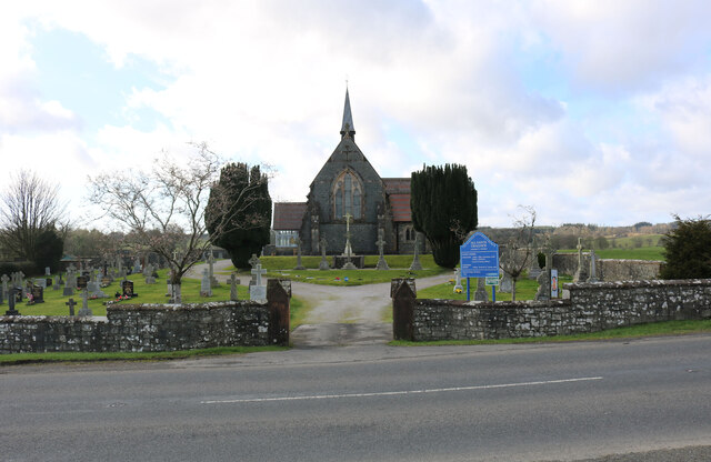
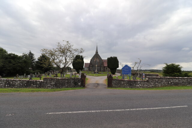
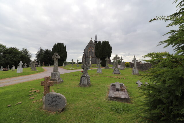
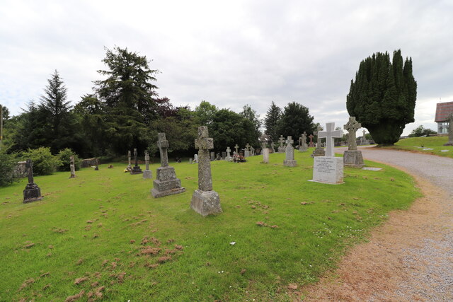
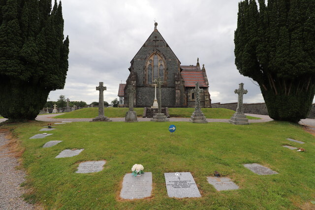
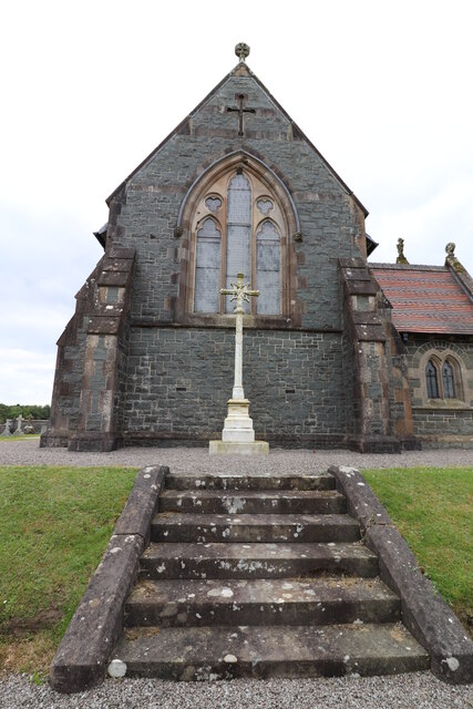
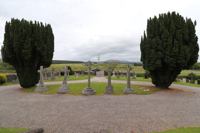
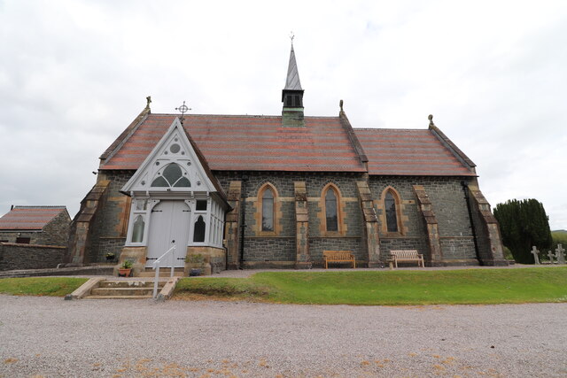
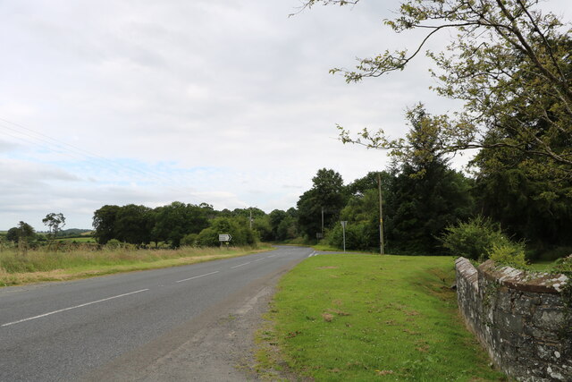
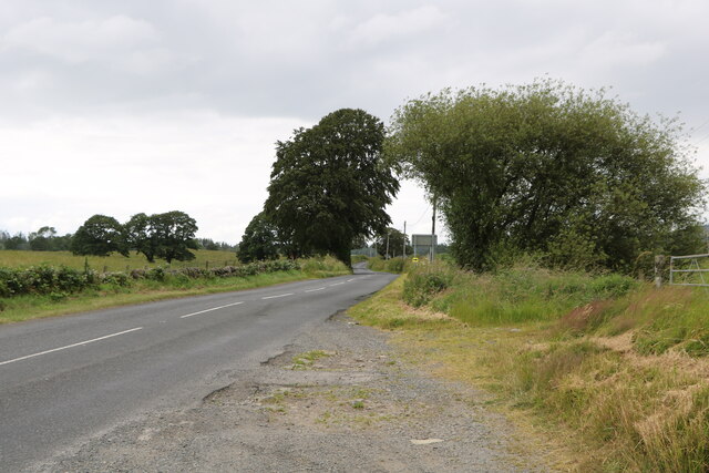
Gallow Hill Plantation Images

Images are sourced within 2km of 54.987333/-4.5280277 or Grid Reference NX3868. Thanks to Geograph Open Source API. All images are credited.

All Saints' Church, Challoch Looking over the A714.
All Saints' Church, Challoch
Looking over the A714.
All Saints' Church, Challoch Looking over the A714 on a cloudy day.
All Saints' Church, Challoch
Looking over the A714 on a cloudy day.
Challoch Church & Graveyard Next to the A714.
Challoch Church & Graveyard
Next to the A714.
Challoch Church Graveyard Next to the A714.
Challoch Church Graveyard
Next to the A714.
All Saints' Church, Challoch Accessed from the A714.
All Saints' Church, Challoch
Accessed from the A714.
All Saints' Church, Challoch Near Newton Stewart on the A714.
All Saints' Church, Challoch
Near Newton Stewart on the A714.
Challoch Church Graveyard Viewed from the front of the church and looking out onto the A714.
Challoch Church Graveyard
Viewed from the front of the church and looking out onto the A714.
All Saints' Church, Challoch Near to Newton Stewart on the A714.
All Saints' Church, Challoch
Near to Newton Stewart on the A714.
All Saints' Church, Challoch Just off the A714.
All Saints' Church, Challoch
Just off the A714.
Beautiful Flower Planter At All Saints' Church, Challoch.
Beautiful Flower Planter
At All Saints' Church, Challoch.
All Saints' Church, Challoch Near to Newton Stewart on the A714.
All Saints' Church, Challoch
Near to Newton Stewart on the A714.
All Saints' Church, Challoch Next to the A714.
All Saints' Church, Challoch
Next to the A714.
Spire, All Saints' Church, Challoch Church near Newton Stewart on the A714.
Spire, All Saints' Church, Challoch
Church near Newton Stewart on the A714.
The A714 to Newton Stewart Viewed from the front of Challoch Church.
The A714 to Newton Stewart
Viewed from the front of Challoch Church.
The A714 to Barrhill Viewed from outside Challoch Church.
The A714 to Barrhill
Viewed from outside Challoch Church.
The River Cree Viewed from the A714.
The River Cree
Viewed from the A714.
B7027, Glenrazie
B7027, Glenrazie
On emerging from the forest The B7027 emerges from the vast plantations on the descent towards Newton Stewart.
On emerging from the forest
The B7027 emerges from the vast plantations on the descent towards Newton Stewart.
Show me another place!

Gallow Hill Plantation is located at Grid Ref: NX3868 (Lat: 54.987333, Lng: -4.5280277)

Unitary Authority: Dumfries and Galloway

Police Authority: Dumfries and Galloway

What 3 Words

///plotter.glance.clock. Near Newton Stewart, Dumfries & Galloway

Related Wikis

Wood of Cree

Wood of Cree is a nature reserve in Dumfries and Galloway, Scotland. Located approximately 4 miles (6.4 km) north north-west of Newton Stewart, it is managed...

Minnigaff

Minnigaff is a village and civil parish in the historic county of Kirkcudbrightshire in Dumfries and Galloway, Scotland. Lead was discovered there in...

Douglas Ewart High School

Douglas Ewart High School was opened in 1922 in Newton Stewart, Scotland. It was formed by the amalgamation of the Douglas Free School opened in 1834...

Newton Stewart F.C.

Newton Stewart Football Club are a football club from the town of Newton Stewart in the Dumfries and Galloway area of Scotland. Formed in 1880, as Newton...

Nearby Amenities

Located within 500m of 54.987333,-4.5280277
Bus Stop
Penninghame, Village
Naptan AtcoCode: 680000269111
Naptan Bearing: N
Naptan CommonName: Village
Naptan Indicator: opp South Drive
Naptan Landmark: South Drive
Naptan NaptanCode: 34236756
Naptan Notes: none
Naptan Street: A714
Naptan Verified: no
Public Transport: platform
Source: naptan_import
Lat/Long: 54.9911284/-4.5304636
Bus Stop
Penninghame, Village
Naptan AtcoCode: 680000269222
Naptan Bearing: S
Naptan CommonName: Village
Naptan Indicator: South Lodge
Naptan Landmark: South Drive
Naptan NaptanCode: 34236754
Naptan Notes: none
Naptan Street: A714
Naptan Verified: no
Public Transport: platform
Source: naptan_import
Lat/Long: 54.9914658/-4.5302347
Castle Stewart
Historic: ruins
Lat/Long: 54.9893815/-4.5348564
Power: pole
Lat/Long: 54.9911377/-4.5256079
Power: pole
Lat/Long: 54.9913508/-4.5272651
Power: pole
Lat/Long: 54.9915664/-4.528898
Ford: yes
Lat/Long: 54.9893827/-4.5338308
Power: pole
Lat/Long: 54.9835513/-4.5256137
Power: pole
Lat/Long: 54.9842371/-4.525798
Power: pole
Lat/Long: 54.9849629/-4.525994
Power: pole
Lat/Long: 54.9857801/-4.526219
Power: pole
Lat/Long: 54.9867742/-4.5264984
Power: pole
Lat/Long: 54.9872239/-4.5266245
Power: pole
Lat/Long: 54.9880521/-4.5268709
Power: pole
Lat/Long: 54.9888235/-4.5265644
Power: pole
Lat/Long: 54.989546/-4.5263141
Power: pole
Lat/Long: 54.9903619/-4.5260056
Power: pole
Lat/Long: 54.9895126/-4.5253304
Power: pole
Lat/Long: 54.9894859/-4.524436
Power: pole
Lat/Long: 54.9894458/-4.523041
Power: pole
Lat/Long: 54.9894202/-4.5223891
Power: pole
Lat/Long: 54.989409/-4.5220942
Power: pole
Lat/Long: 54.9893912/-4.5219351
Power: pole
Lat/Long: 54.9893089/-4.5212541
The data included in this document is from www.openstreetmap.org. The data is made available under ODbL.

Have you been to Gallow Hill Plantation?

Leave your review of Gallow Hill Plantation below (or comments, questions and feedback).