Coille a' Bhad Lèith
Wood, Forest in Sutherland
Scotland
Coille a' Bhad Lèith

Coille a' Bhad Lèith, located in Sutherland, Scotland, is a stunning wood or forest that offers an enchanting natural experience. Covering an area of approximately [insert size], it is known for its diverse flora and fauna, breathtaking landscapes, and rich cultural heritage.
The forest is home to a wide range of tree species, including Scots pine, birch, oak, and rowan, creating a vibrant and diverse ecosystem. The dense canopy provides shelter and nesting sites for various bird species like the black grouse, crested tit, and redstart. Additionally, mammals such as red deer, pine marten, and otters can be spotted within the forest.
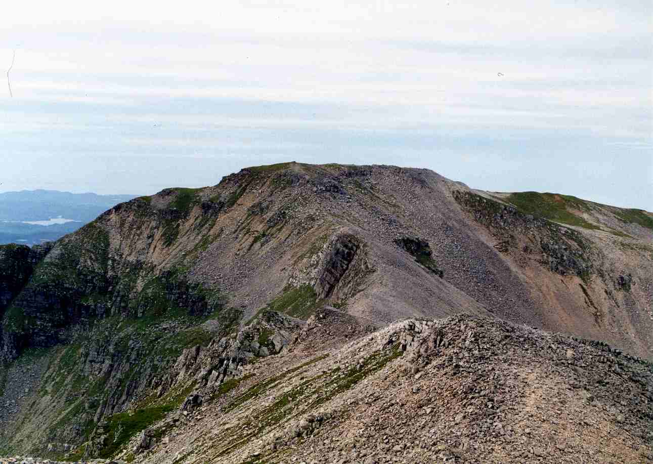
The landscape of Coille a' Bhad Lèith is characterized by rolling hills, deep valleys, and sparkling lochs, making it an ideal destination for hiking, wildlife observation, and photography. Several well-marked trails, such as the Bad Leith Walk, allow visitors to explore the forest and discover its hidden gems.
The forest also holds historical significance, with ancient ruins and archaeological sites scattered throughout the area. These remnants offer a glimpse into the region's past, showcasing the lives of early settlers and their connection to the land.
Coille a' Bhad Lèith is a protected area, managed by local authorities to ensure its preservation and sustainable use. Visitors are encouraged to follow designated paths, respect the wildlife and their habitats, and leave no trace of their presence.
In summary, Coille a' Bhad Lèith in Sutherland is a captivating forest that boasts a diverse ecosystem, stunning landscapes, and a rich cultural heritage. It provides visitors with an opportunity to immerse themselves in nature and experience the beauty of the Scottish countryside.
If you have any feedback on the listing, please let us know in the comments section below.
Coille a' Bhad Lèith Images
Images are sourced within 2km of 58.176519/-4.7554693 or Grid Reference NC3824. Thanks to Geograph Open Source API. All images are credited.


Coille a' Bhad Lèith is located at Grid Ref: NC3824 (Lat: 58.176519, Lng: -4.7554693)
Unitary Authority: Highland
Police Authority: Highlands and Islands
What 3 Words
///sharper.homelands.darkens. Near Inchnadamph, Highland
Nearby Locations
Related Wikis

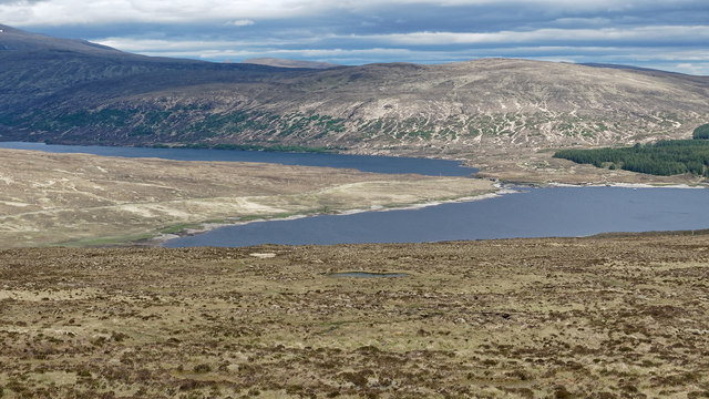
Loch Merkland
Loch Merkland is a large long inland loch in Sutherland, Northern Scotland. It is located adjacent to the A838 main road which provides almost all access...
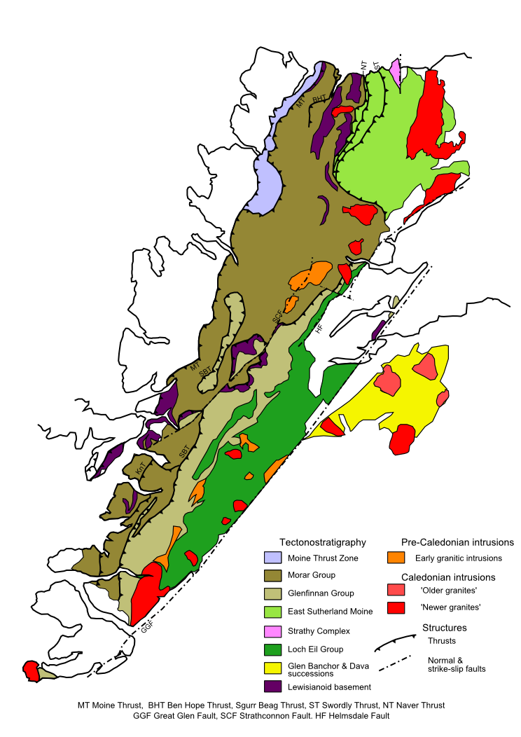
Moine Thrust Belt
The Moine Thrust Belt or Moine Thrust Zone is a linear tectonic feature in the Scottish Highlands which runs from Loch Eriboll on the north coast 190 kilometres...
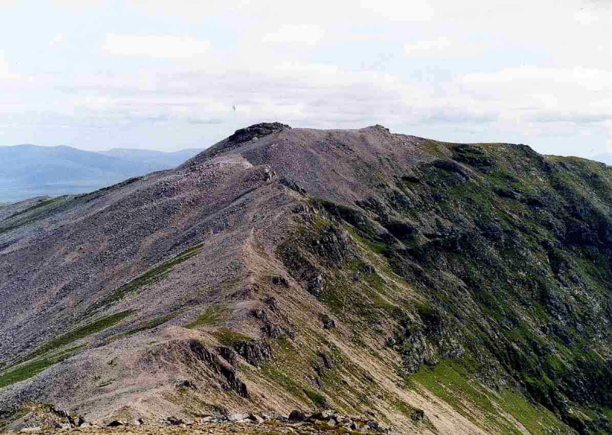
Ben More Assynt
Ben More Assynt (Scottish Gaelic: Beinn Mhòr Asaint) is a mountain in Assynt in the far north-west of Scotland, 30 kilometres (19 miles) north-northeast...

Beinn Leoid
Beinn Leoid (792 m) is a mountain in the Northwest Highlands of Scotland. It lies in Sutherland, east of the village of Kylesku. A very remote mountain...
Conival
Conival (Scottish Gaelic: Cona Mheall) is a Scottish mountain situated in Assynt in the Sutherland area of the Highland Council Area, thirty kilometres...
Nearby Amenities
Located within 500m of 58.176519,-4.7554693Have you been to Coille a' Bhad Lèith?
Leave your review of Coille a' Bhad Lèith below (or comments, questions and feedback).