Black Firs
Wood, Forest in Ayrshire
Scotland
Black Firs
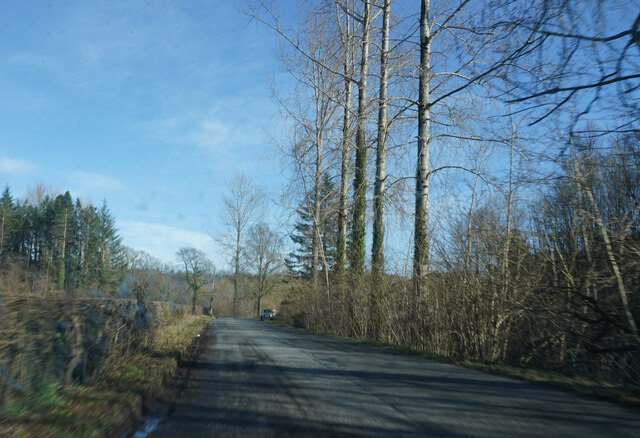
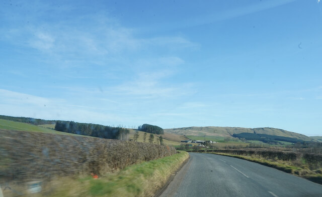
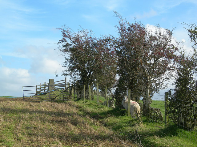
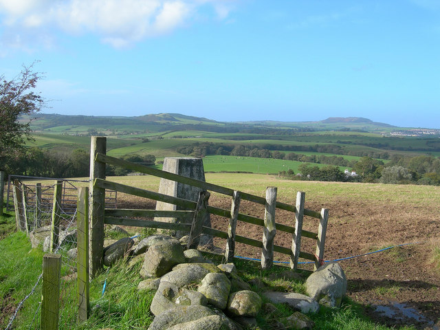
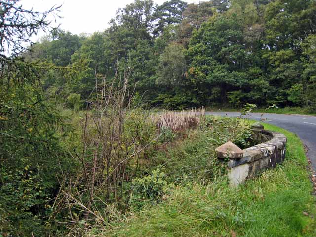
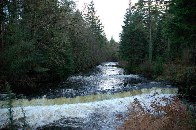
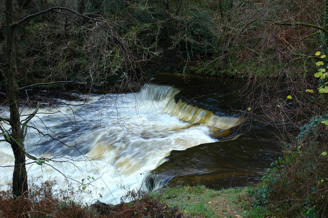
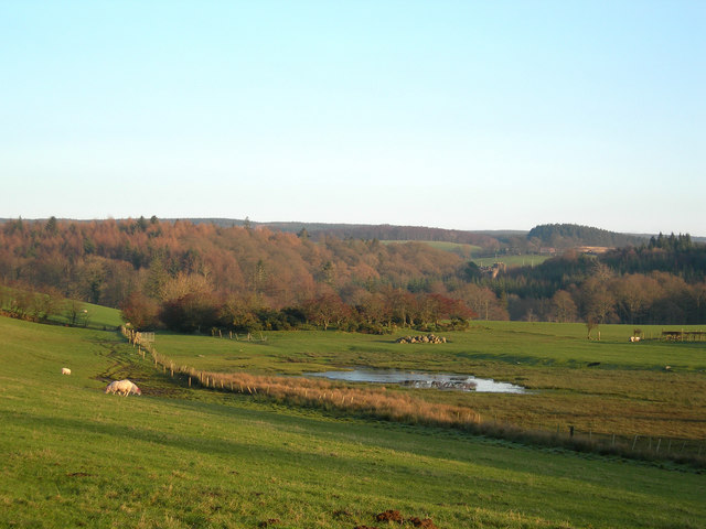
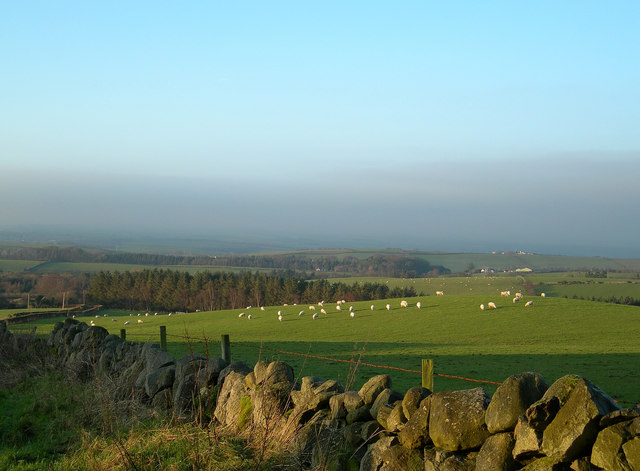
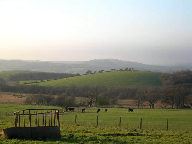
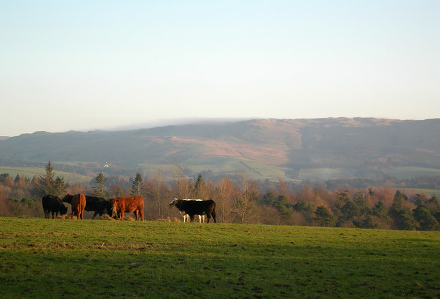
Black Firs, Ayrshire is a picturesque wood located in the southwestern region of Scotland, near the town of Ayr. Covering an area of approximately 150 hectares, this forest is home to a diverse range of flora and fauna, making it a popular destination for nature enthusiasts and walkers.
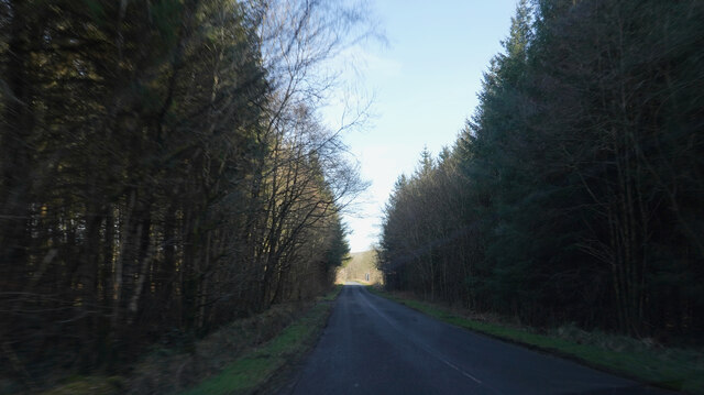
The wood is predominantly composed of coniferous trees, with a significant presence of the native Scots pine. The tall, dark green firs create a striking contrast against the clear blue sky, giving the forest its name. The dense canopy provides a sheltered habitat for various bird species, including woodpeckers, finches, and owls.
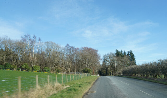
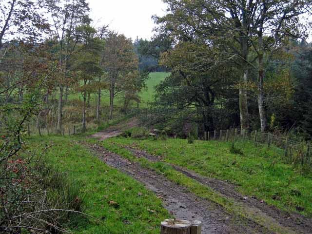
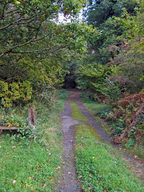
As visitors explore the woodland, they will discover a network of well-maintained trails that wind through the forest, offering scenic views and opportunities to spot wildlife. The paths are suitable for all levels of walkers, from leisurely strolls to more challenging hikes.
Black Firs is also known for its vibrant wildflowers, which blanket the forest floor during spring and summer. Bluebells, primroses, and foxgloves create a colorful tapestry, attracting butterflies and insects to the area. Autumn brings a different kind of beauty, as the leaves of the deciduous trees turn vibrant shades of red, orange, and gold.
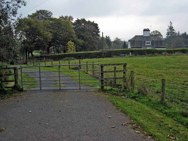
In addition to its natural beauty, Black Firs offers amenities such as picnic areas and benches, allowing visitors to relax and appreciate the tranquil surroundings. The forest is easily accessible by car, with ample parking available. Overall, Black Firs, Ayrshire is a captivating woodland that offers a peaceful escape and an opportunity to connect with nature.
If you have any feedback on the listing, please let us know in the comments section below.
Black Firs Images
Images are sourced within 2km of 55.325169/-4.5879205 or Grid Reference NS3506. Thanks to Geograph Open Source API. All images are credited.
Black Firs is located at Grid Ref: NS3506 (Lat: 55.325169, Lng: -4.5879205)
Unitary Authority: South Ayrshire
Police Authority: Ayrshire
What 3 Words
///overhear.castle.memo. Near Patna, East Ayrshire
Nearby Locations
Related Wikis
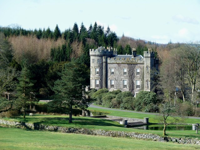
Cloncaird Castle
Cloncaird Castle is located near the small village of Kirkmichael, around 6 kilometres (3.7 mi) east of Maybole in South Ayrshire, Scotland. The castle...

Blairquhan Castle
Blairquhan ( blair-WHAHN, Scots: Blairwhan) is a Regency era castle near Maybole in South Ayrshire, Scotland. It was the historic home of the Hunter-Blair...

Straiton
Straiton is a village on the River Girvan in South Ayrshire in Scotland. It lies in the hills between Kirkmichael, Dalmellington, Crosshill, and Maybole...

Kirkmichael, South Ayrshire
Kirkmichael (Gaelic: Cille Mhìcheil, "the church of St Michael") is a village in South Ayrshire, Scotland, located between Patna, Maybole and Straiton...
Have you been to Black Firs?
Leave your review of Black Firs below (or comments, questions and feedback).