The Spinney

Wood, Forest in Ayrshire

Scotland

The Spinney

Straiton Road The road surface along this part of the road is very poor.
Straiton Road Credit: Malcolm Neal

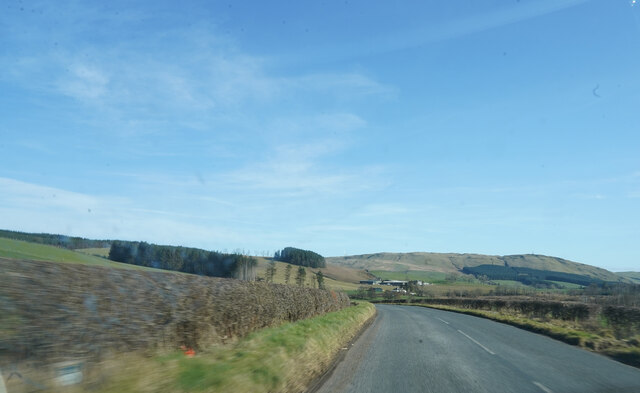
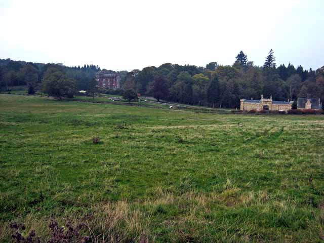
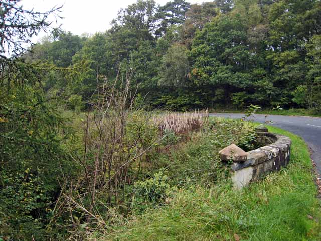
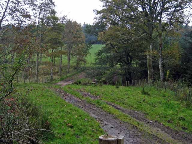
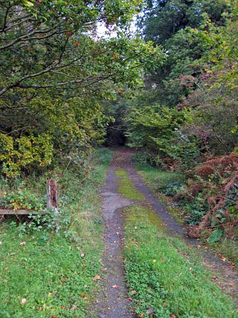
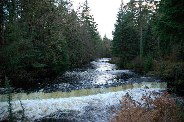
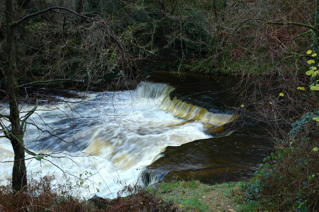
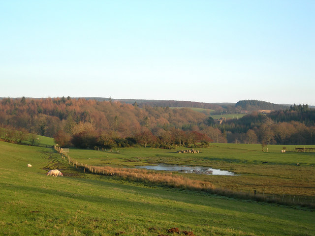
The Spinney, located in Ayrshire, is a picturesque wood or forest area that showcases the natural beauty of the region. Spread over a considerable area, it is a haven for nature lovers, offering a tranquil and peaceful environment away from the hustle and bustle of the city.

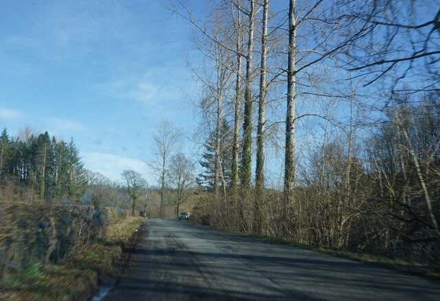
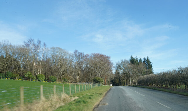
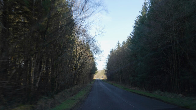
The Spinney is characterized by its dense canopy of trees, which mainly consists of oak, birch, and beech trees. These trees provide shade and shelter to a diverse range of flora and fauna that call this forest their home. Walking through the wood, visitors can expect to see a variety of native plants, including bluebells, wild garlic, and wood sorrel, which add a burst of color and fragrance to the surroundings.

Wildlife enthusiasts will be delighted to spot an array of animals and birds in The Spinney. It is not uncommon to come across squirrels darting through the trees or hear the chirping of various bird species, such as robins, blackbirds, and great tits. The forest also attracts larger animals like deer and foxes, which can occasionally be spotted during quieter times of the day.

The Spinney offers several well-maintained walking trails, allowing visitors to explore the forest at their own pace. These trails range in difficulty, catering to both casual strollers and more experienced hikers. Additionally, there are designated picnic areas where families and friends can enjoy a leisurely lunch surrounded by the serenity of nature.

Overall, The Spinney in Ayrshire is a natural gem that provides a tranquil escape to those seeking solace in the beauty of woodlands.

If you have any feedback on the listing, please let us know in the comments section below.
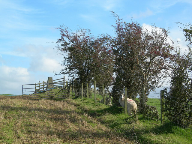
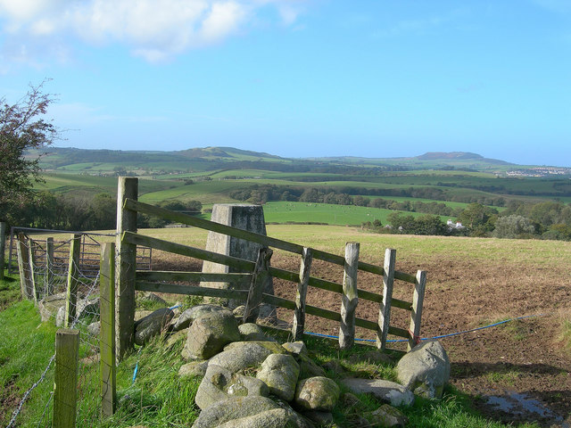
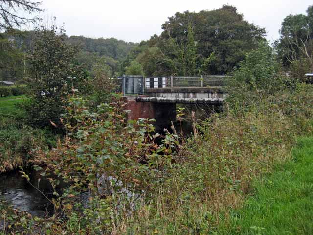
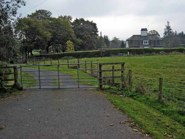
The Spinney Images

Images are sourced within 2km of 55.325086/-4.5913993 or Grid Reference NS3506. Thanks to Geograph Open Source API. All images are credited.

Straiton Road The road surface along this part of the road is very poor.
Straiton Road
The road surface along this part of the road is very poor.
Near Drumfad I think Drumfad is the name of a farm. We are also close to Cloncaird Castle.
Near Drumfad
I think Drumfad is the name of a farm. We are also close to Cloncaird Castle.
Deep shadow between the woods Dark shadow with a 'V' of bright sunlight played havoc with the camera light meter.
Deep shadow between the woods
Dark shadow with a 'V' of bright sunlight played havoc with the camera light meter.
Near Littleton Bridge Running down the hill towards a place named Littleton Bridge.
Near Littleton Bridge
Running down the hill towards a place named Littleton Bridge.
The Straiton Struggle The Ayr Roads Cycle Club came to Carrick for its 2022 “Straiton Struggle” where riders did laps around the Straiton – Kirkmichael – Crosshill route. The men's race was photographed crossing the Waulkmill Bridge on the way to Crosshill on their third lap of six circuits. Not quite the Tour de France, but you’d have to be fit to do well in this race. It’s good to see events returning after so many lockdown cancellations.
The Straiton Struggle
The Ayr Roads Cycle Club came to Carrick for its 2022 “Straiton Struggle” where riders did laps around the Straiton – Kirkmichael – Crosshill route. The men's race was photographed crossing the Waulkmill Bridge on the way to Crosshill on their third lap of six circuits. Not quite the Tour de France, but you’d have to be fit to do well in this race. It’s good to see events returning after so many lockdown cancellations.
Threave View Looking towards Threave Farm from Crosshill, with Barskelly in the distance.  This area's landscape comes from deposition during the last Ice Age.
Threave View
Looking towards Threave Farm from Crosshill, with Barskelly in the distance. This area's landscape comes from deposition during the last Ice Age.
Triangulation pillar Approaching the triangulation pillar at Barbrethan from the SW.
Triangulation pillar
Approaching the triangulation pillar at Barbrethan from the SW.
View from Barbrethan The spectacular view from the triangulation pillar, at a mere 95m, looking west across the Girvan Valley.  Kildoon Hill is on the skyline to the left, with Mochrum Hill and Maybole on the right
View from Barbrethan
The spectacular view from the triangulation pillar, at a mere 95m, looking west across the Girvan Valley. Kildoon Hill is on the skyline to the left, with Mochrum Hill and Maybole on the right
Corner of field near Kirkmichael
Bridge over the Water of Girvan, near Kirkmichael
House on the Cloncaird Castle estate
Distant view of Cloncaird Castle The "Castle" on the left dates back in part to the 16th century. <span class="nowrap"><a title="http://www.ntsayrshire.org.uk/HistInt-CloncairdCastle.php" rel="nofollow ugc noopener" href="http://www.ntsayrshire.org.uk/HistInt-CloncairdCastle.php">Link</a><img style="margin-left:2px;" alt="External link" title="External link - shift click to open in new window" src="https://s1.geograph.org.uk/img/external.png" width="10" height="10"/></span>
Distant view of Cloncaird Castle
The "Castle" on the left dates back in part to the 16th century. LinkExternal link
Roadside verge and bridge parapet On the B7045 Kirkmichael to Straiton road.
Roadside verge and bridge parapet
On the B7045 Kirkmichael to Straiton road.
Farm road near Straiton
Woodland track near Cloncaird Castle
King's Falls, River Girvan
Tranew Linn, River Girvan
A Wee Wet Bit South Ayrshire has lots of "wee wet bits".  This one is beside the Tranew Farm road. Cloncaird Castle is visible in the background.
A Wee Wet Bit
South Ayrshire has lots of "wee wet bits". This one is beside the Tranew Farm road. Cloncaird Castle is visible in the background.
Show me another place!

The Spinney is located at Grid Ref: NS3506 (Lat: 55.325086, Lng: -4.5913993)

Unitary Authority: South Ayrshire

Police Authority: Ayrshire

What 3 Words

///fine.stutter.endlessly. Near Maybole, South Ayrshire

Related Wikis

Cloncaird Castle

Cloncaird Castle is located near the small village of Kirkmichael, around 6 kilometres (3.7 mi) east of Maybole in South Ayrshire, Scotland. The castle...

Blairquhan Castle

Blairquhan ( blair-WHAHN, Scots: Blairwhan) is a Regency era castle near Maybole in South Ayrshire, Scotland. It was the historic home of the Hunter-Blair...

Kirkmichael, South Ayrshire

Kirkmichael (Gaelic: Cille Mhìcheil, "the church of St Michael") is a village in South Ayrshire, Scotland, located between Patna, Maybole and Straiton...

Straiton

Straiton is a village on the River Girvan in South Ayrshire in Scotland. It lies in the hills between Kirkmichael, Dalmellington, Crosshill, and Maybole...

Nearby Amenities

Located within 500m of 55.325086,-4.5913993
Power: pole
Lat/Long: 55.3281841/-4.5965336
The data included in this document is from www.openstreetmap.org. The data is made available under ODbL.

Have you been to The Spinney?

Leave your review of The Spinney below (or comments, questions and feedback).