Hut Wood

Wood, Forest in Ayrshire

Scotland

Hut Wood

Bluebell View
Bluebell View Credit: Alan Reid

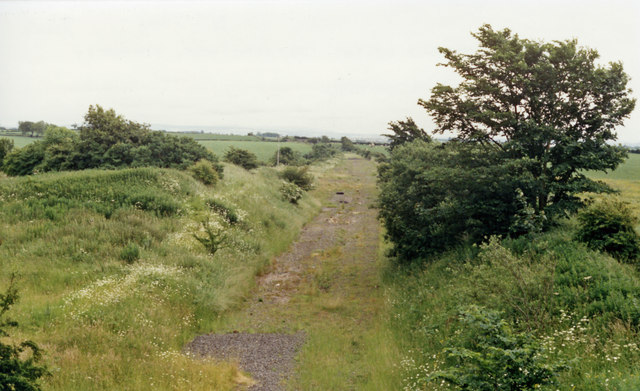
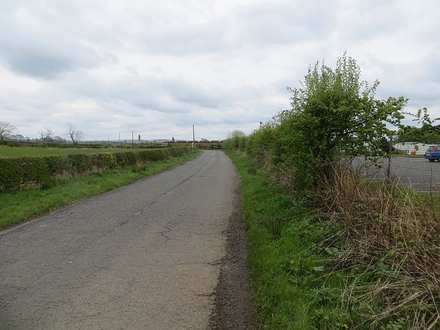
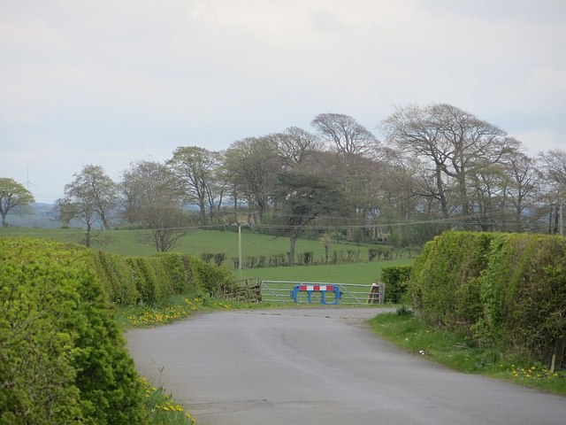
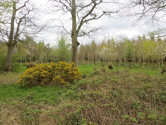
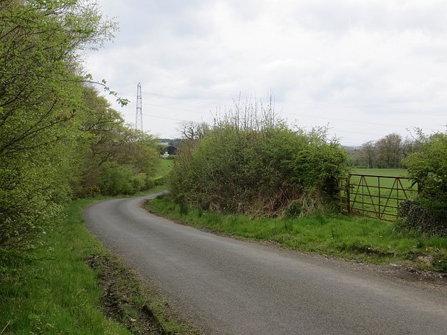
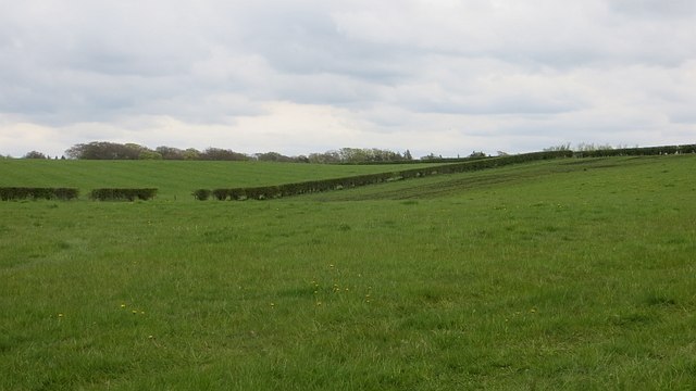
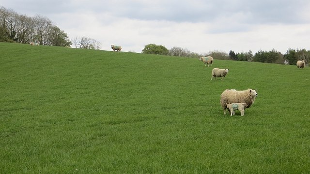
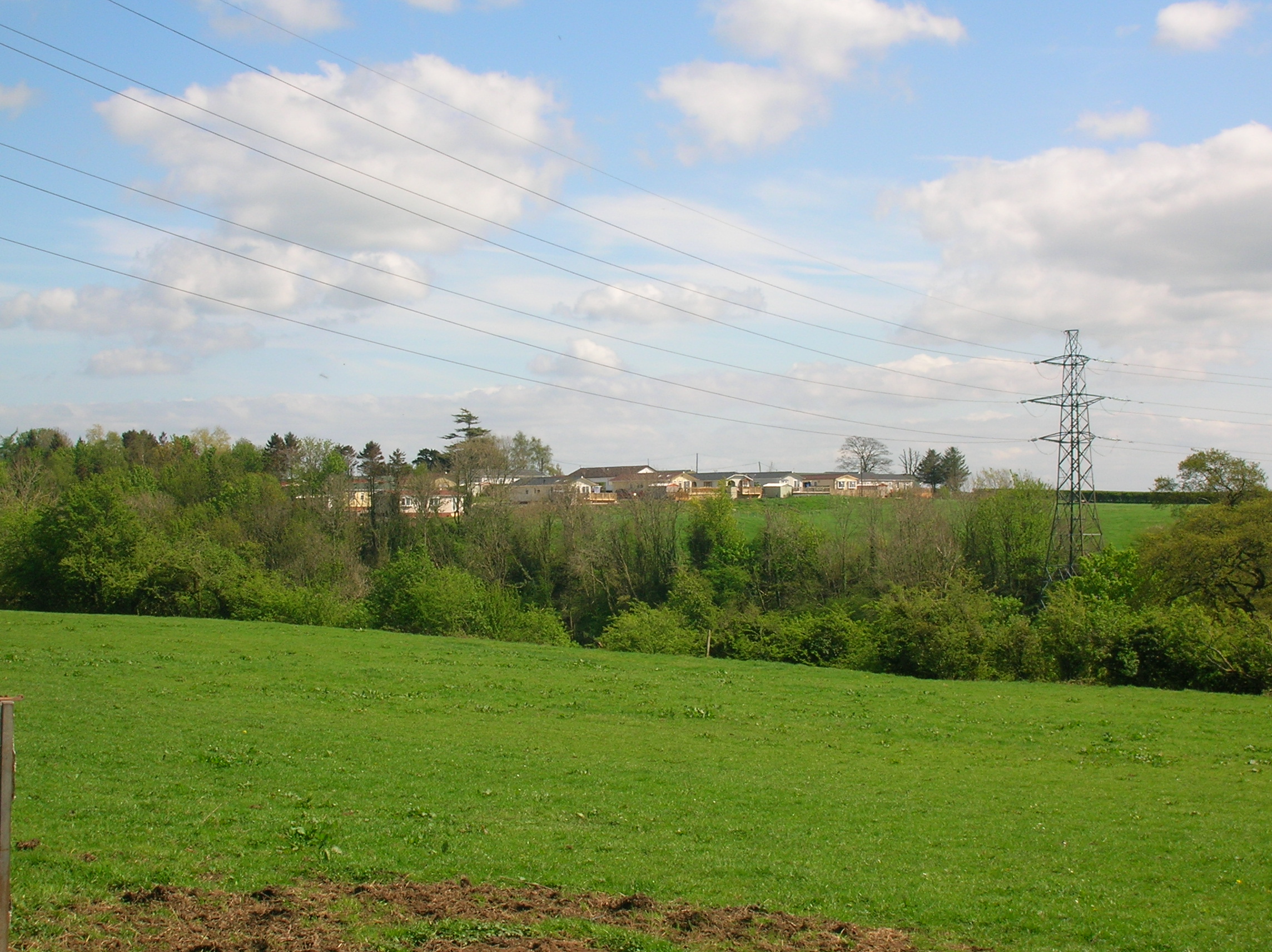
Hut Wood is a picturesque forest located in Ayrshire, Scotland. Spanning over an area of approximately 100 acres, it is nestled within the beautiful countryside of this region. The wood is a mix of coniferous and deciduous trees, creating a diverse and vibrant ecosystem.

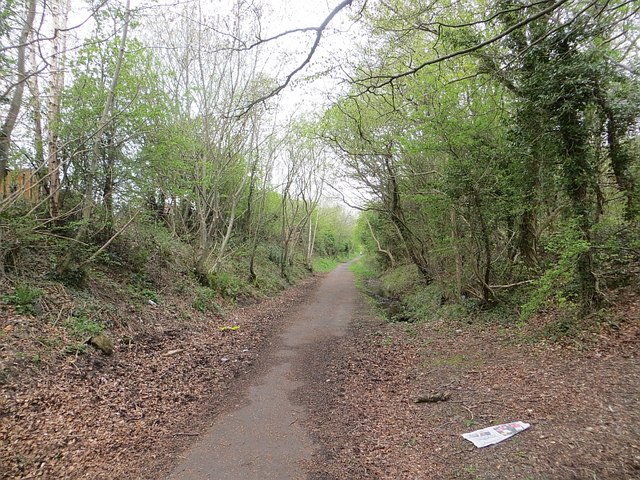
The forest is known for its tranquil atmosphere and scenic trails, making it a popular destination for nature enthusiasts and hikers. The well-maintained footpaths wind their way through the wood, allowing visitors to explore its hidden nooks and crannies. Along the way, one can come across a variety of wildlife, including deer, squirrels, and a wide array of bird species.

Hut Wood also holds historical significance, as it is believed to have been a hunting ground for the nearby Dalrymple family in the past. The remnants of an old hunting lodge can still be seen, adding a touch of intrigue and nostalgia to the forest.

This woodland oasis offers a serene escape from the hustle and bustle of daily life. Its peaceful ambiance, coupled with the rich biodiversity, makes it an ideal spot for nature lovers to relax, unwind, and reconnect with the natural world. Whether it's a leisurely stroll, a family picnic, or birdwatching, Hut Wood has something to offer for everyone seeking solace in nature's embrace.

If you have any feedback on the listing, please let us know in the comments section below.
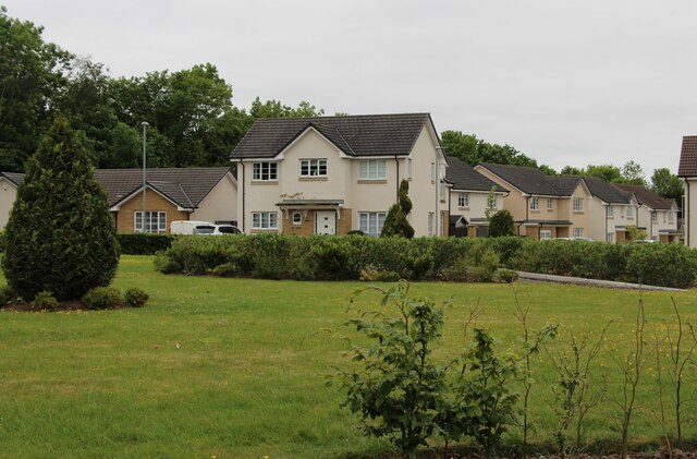
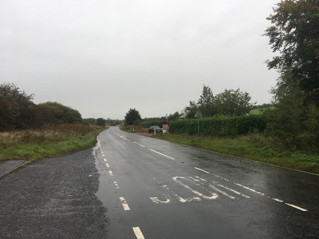
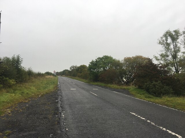
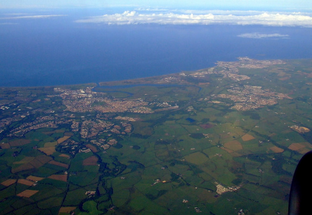
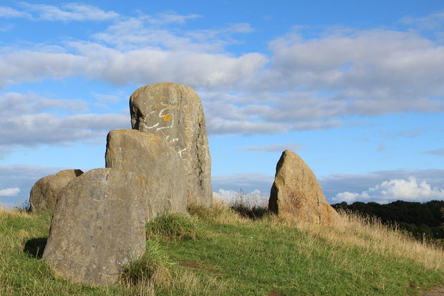
Hut Wood Images

Images are sourced within 2km of 55.642921/-4.6124381 or Grid Reference NS3541. Thanks to Geograph Open Source API. All images are credited.

Bluebell View
Bluebell View
A736 towards Barrhead
A736 near Torranyard
Irvine and Kilwinning from the air Torranyard Holiday Park is in the lower right corner. Irvine is to the left, Kilwinning to the right.
Irvine and Kilwinning from the air
Torranyard Holiday Park is in the lower right corner. Irvine is to the left, Kilwinning to the right.
Site of Cunninghamhead station, 1986 View SE, towards Kilmarnock: ex-Glasgow & South Western, (Glasgow) - Dalry - Kilmarnock line, closed 22/10/73; the station was closed much earlier - 1/1/51 (goods 1/2/60). (Cf. <a href="https://www.geograph.org.uk/photo/267979">NS3641 : Derelict Railway Line</a>)).
Site of Cunninghamhead station, 1986
View SE, towards Kilmarnock: ex-Glasgow & South Western, (Glasgow) - Dalry - Kilmarnock line, closed 22/10/73; the station was closed much earlier - 1/1/51 (goods 1/2/60). (Cf. NS3641 : Derelict Railway Line)).
Sourlie Hill Standing Stones, Eglinton Country Park An opencast mine was established at Sourlie in 1983. Once the extraction process ended in 1986, reclamation and landscaping followed until completion in 1987. These large boulders recovered during mining were erected on top of the restored Sourlie Hill (also known as Cairnmount Hill).
Sourlie Hill Standing Stones, Eglinton Country Park
An opencast mine was established at Sourlie in 1983. Once the extraction process ended in 1986, reclamation and landscaping followed until completion in 1987. These large boulders recovered during mining were erected on top of the restored Sourlie Hill (also known as Cairnmount Hill).
Broughton Green
Broughton Green
Lawthorn Farm
Lawthorn Farm
Road, Torranyard The road is passing a caravan park.
Road, Torranyard
The road is passing a caravan park.
Road, Auchenharvie An attempt has been made to avoid unintentional straight on driving.
Road, Auchenharvie
An attempt has been made to avoid unintentional straight on driving.
Caravan park, Torranyard
Young woodland, Knowehead A young mixed woodland on former agricultural land.
Young woodland, Knowehead
A young mixed woodland on former agricultural land.
Road, Knowehead
Road, Knowehead
Beware of Black Bitch Sign at Knowehead.  Any reference to Linlithgow is probably coincidental.
Beware of Black Bitch
Sign at Knowehead. Any reference to Linlithgow is probably coincidental.
A gate near Irvine Notices attempt to deter the dumpers.
A gate near Irvine
Notices attempt to deter the dumpers.
Grass fields near Milburnside Close to Irvine.
Grass fields near Milburnside
Close to Irvine.
Farmland near Sourlie Ewes and lambs outside Irvine.
Farmland near Sourlie
Ewes and lambs outside Irvine.
Railway trackbed, Irvine This was a mineral line serving Perceton Colliery in the 19th century. Maps from c. 1900 show it as disused. It is now a cycle and footpath.
Railway trackbed, Irvine
This was a mineral line serving Perceton Colliery in the 19th century. Maps from c. 1900 show it as disused. It is now a cycle and footpath.
Show me another place!

Hut Wood is located at Grid Ref: NS3541 (Lat: 55.642921, Lng: -4.6124381)

Unitary Authority: North Ayrshire

Police Authority: Ayrshire

What 3 Words

///swept.payer.interviewer. Near Springside, North Ayrshire

Related Wikis

Annick Lodge and Greenville

Annick Lodge is an estate between Perceton and Cunninghamhead in North Ayrshire, Scotland. == History == Annick Lodge (previously Annack, Annoch or Annock...

Cunninghamhead Estate

The Cunninghamhead Estate is in the 21st century mainly a residential caravan park with two private residences near Irvine, Scotland. It was once a private...

Cunninghamhead railway station

Cunninghamhead railway station (NS369414) was a railway station serving Cunninghamhead Estate, the village of Crossroads (renamed to Cunninghamhead), North...

Perceton

Perceton is a medieval settlement and old country estate in North Ayrshire, Scotland, near the town of Irvine. The ruined church in Perceton is one of...

Nearby Amenities

Located within 500m of 55.642921,-4.6124381
Old Coal Pit
Historic: mine
Lat/Long: 55.6457128/-4.6131696
Old Coal Pit
Historic: mine
Lat/Long: 55.6433091/-4.6152295
Power: pole
Lat/Long: 55.644083/-4.6153111
Power: pole
Lat/Long: 55.6440359/-4.6150503
Power: pole
Lat/Long: 55.6438733/-4.6141331
Power: pole
Lat/Long: 55.6437073/-4.6131607
Power: pole
Lat/Long: 55.6438056/-4.611728
Power: pole
Lat/Long: 55.6438987/-4.6103465
Power: pole
Lat/Long: 55.643994/-4.6088858
Power: pole
Lat/Long: 55.64408/-4.6075564
Power: pole
Lat/Long: 55.6443968/-4.6070785
Power: pole
Lat/Long: 55.6449609/-4.6064546
The data included in this document is from www.openstreetmap.org. The data is made available under ODbL.

Have you been to Hut Wood?

Leave your review of Hut Wood below (or comments, questions and feedback).