West Wood

Wood, Forest in Ayrshire

Scotland

West Wood

Bluebell View
Bluebell View Credit: Alan Reid

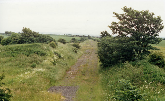
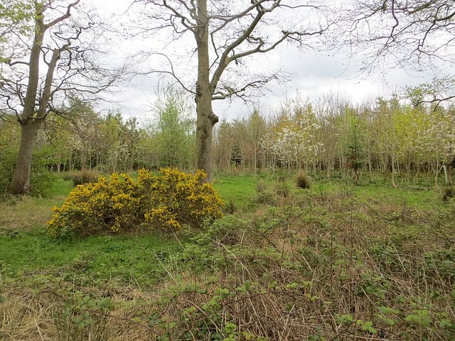
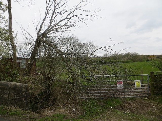
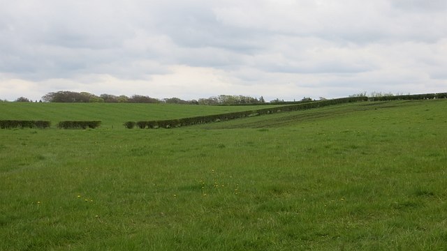
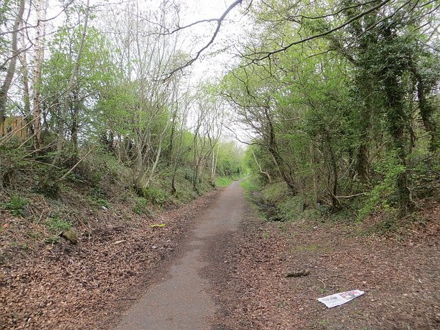
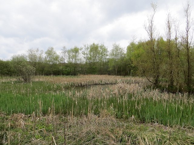
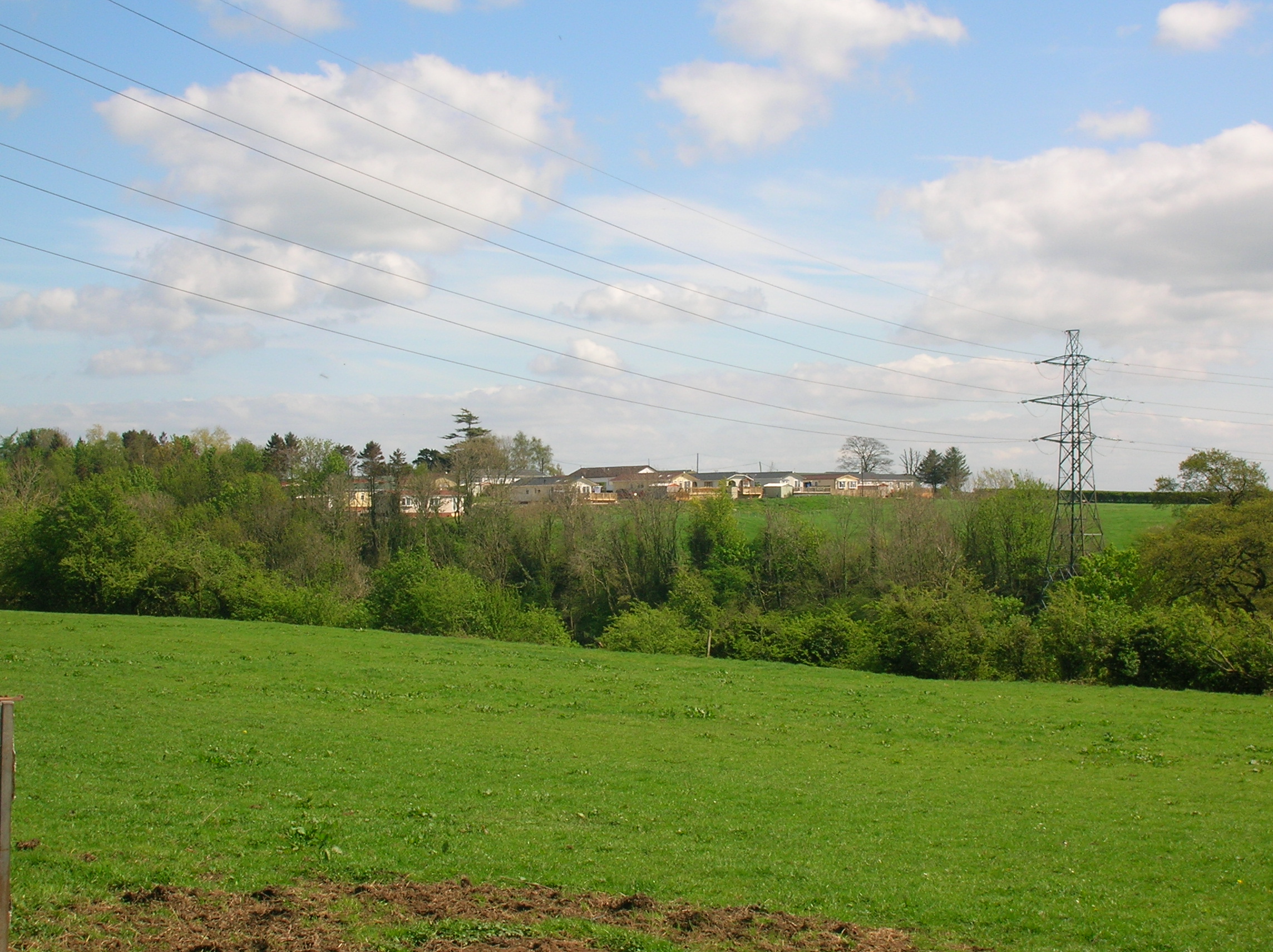
West Wood, Ayrshire, also known as Westwood Forest, is a picturesque woodland located in the county of Ayrshire, Scotland. Spanning over a vast area, this enchanting forest is a nature lover's paradise, attracting visitors from near and far.

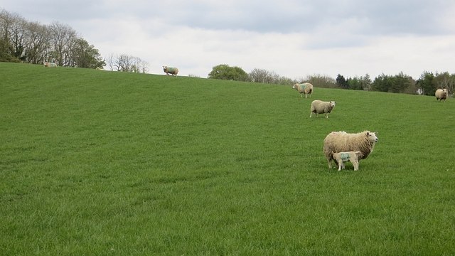
The forest boasts an impressive variety of trees, including oak, beech, birch, and Scots pine, creating a rich and diverse ecosystem. These towering trees provide a habitat for numerous species of birds, mammals, and insects, making it a haven for wildlife enthusiasts and birdwatchers.

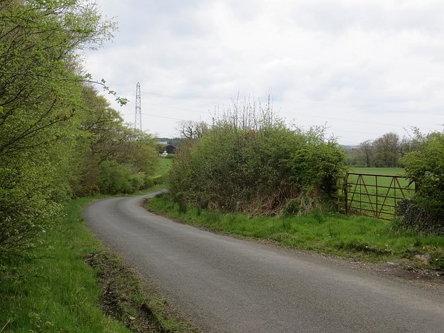
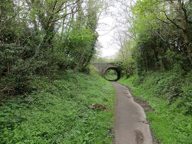
Visitors to West Wood can explore the forest through a network of well-maintained trails that wind their way through the enchanting landscape. These trails offer breathtaking views of the surrounding countryside and are suitable for walkers of all abilities.

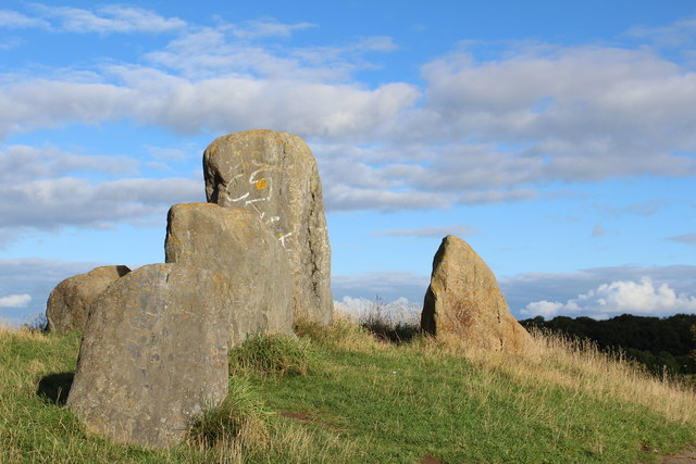
The forest is also home to a number of historical and cultural landmarks. Ruins of ancient settlements and burial mounds can be found scattered throughout the woodland, offering glimpses into the area's rich history. Additionally, there are several prehistoric stone circles and standing stones that add to the mystique of the forest.

West Wood is a popular destination for outdoor activities such as hiking, cycling, and picnicking. The tranquil atmosphere and serene surroundings make it an ideal spot for those seeking solace and relaxation amidst nature.

Managed by local authorities, West Wood is well-preserved and maintained. It provides a wonderful opportunity for individuals to reconnect with nature and experience the beauty of Scotland's countryside.

If you have any feedback on the listing, please let us know in the comments section below.
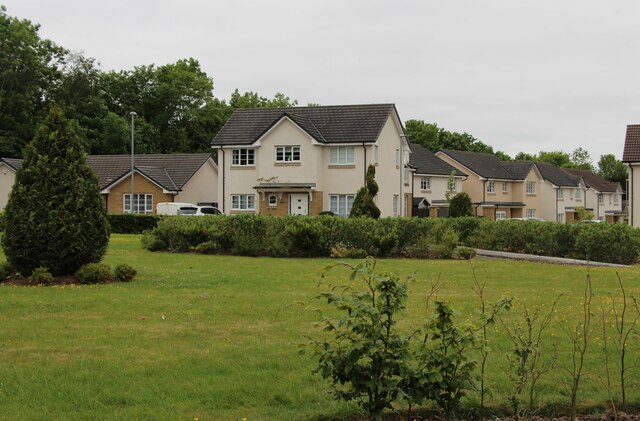
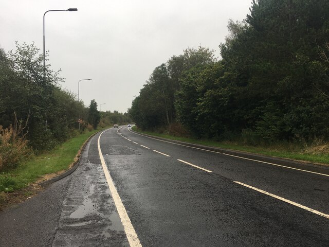
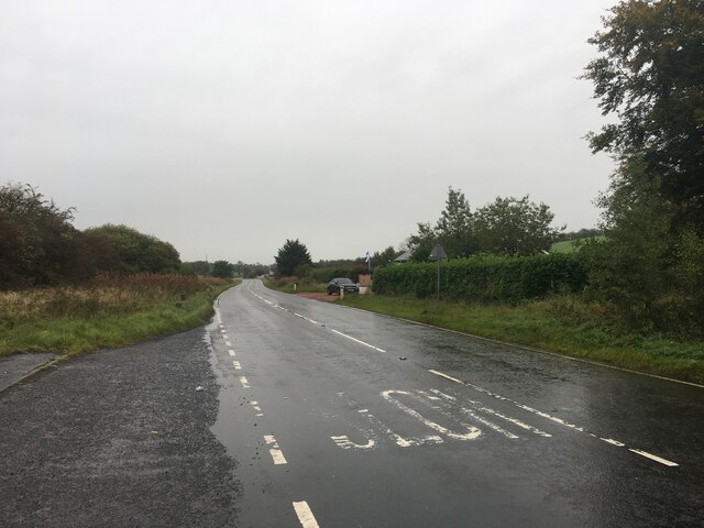
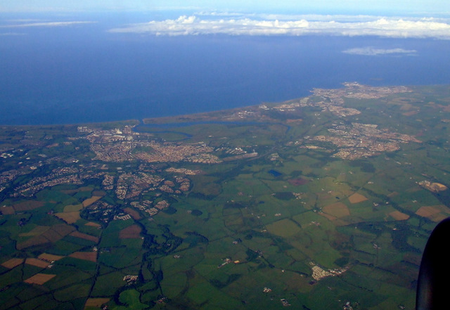
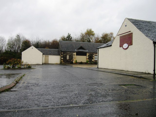
West Wood Images

Images are sourced within 2km of 55.639787/-4.616107 or Grid Reference NS3541. Thanks to Geograph Open Source API. All images are credited.

Bluebell View
Bluebell View
A736 Cairnmount Road
A736 towards Barrhead
Irvine and Kilwinning from the air Torranyard Holiday Park is in the lower right corner. Irvine is to the left, Kilwinning to the right.
Irvine and Kilwinning from the air
Torranyard Holiday Park is in the lower right corner. Irvine is to the left, Kilwinning to the right.
Site of Cunninghamhead station, 1986 View SE, towards Kilmarnock: ex-Glasgow & South Western, (Glasgow) - Dalry - Kilmarnock line, closed 22/10/73; the station was closed much earlier - 1/1/51 (goods 1/2/60). (Cf. <a href="https://www.geograph.org.uk/photo/267979">NS3641 : Derelict Railway Line</a>)).
Site of Cunninghamhead station, 1986
View SE, towards Kilmarnock: ex-Glasgow & South Western, (Glasgow) - Dalry - Kilmarnock line, closed 22/10/73; the station was closed much earlier - 1/1/51 (goods 1/2/60). (Cf. NS3641 : Derelict Railway Line)).
Sourlie Hill Standing Stones, Eglinton Country Park An opencast mine was established at Sourlie in 1983. Once the extraction process ended in 1986, reclamation and landscaping followed until completion in 1987. These large boulders recovered during mining were erected on top of the restored Sourlie Hill (also known as Cairnmount Hill).
Sourlie Hill Standing Stones, Eglinton Country Park
An opencast mine was established at Sourlie in 1983. Once the extraction process ended in 1986, reclamation and landscaping followed until completion in 1987. These large boulders recovered during mining were erected on top of the restored Sourlie Hill (also known as Cairnmount Hill).
Tollhouse Cottage, Girdle Toll, Irvine
Broughton Green
Broughton Green
Lawthorn Farm
Lawthorn Farm
Young woodland, Knowehead A young mixed woodland on former agricultural land.
Young woodland, Knowehead
A young mixed woodland on former agricultural land.
Road, Knowehead
Road, Knowehead
Beware of Black Bitch Sign at Knowehead.  Any reference to Linlithgow is probably coincidental.
Beware of Black Bitch
Sign at Knowehead. Any reference to Linlithgow is probably coincidental.
A gate near Irvine Notices attempt to deter the dumpers.
A gate near Irvine
Notices attempt to deter the dumpers.
Grass fields near Milburnside Close to Irvine.
Grass fields near Milburnside
Close to Irvine.
Farmland near Sourlie Ewes and lambs outside Irvine.
Farmland near Sourlie
Ewes and lambs outside Irvine.
Railway trackbed, Irvine This was a mineral line serving Perceton Colliery in the 19th century. Maps from c. 1900 show it as disused. It is now a cycle and footpath.
Railway trackbed, Irvine
This was a mineral line serving Perceton Colliery in the 19th century. Maps from c. 1900 show it as disused. It is now a cycle and footpath.
Wetland, Lawthorn A vegetated pond beside a long disused railway.
Wetland, Lawthorn
A vegetated pond beside a long disused railway.
Railway trackbed, Irvine A former mineral line at Girdle Toll. It served the Perceton Colliery and is shown as disused on maps around 1900.
Railway trackbed, Irvine
A former mineral line at Girdle Toll. It served the Perceton Colliery and is shown as disused on maps around 1900.
Show me another place!

West Wood is located at Grid Ref: NS3541 (Lat: 55.639787, Lng: -4.616107)

Unitary Authority: North Ayrshire

Police Authority: Ayrshire

What 3 Words

///pump.condense.skirting. Near Springside, North Ayrshire

Related Wikis

Annick Lodge and Greenville

Annick Lodge is an estate between Perceton and Cunninghamhead in North Ayrshire, Scotland. == History == Annick Lodge (previously Annack, Annoch or Annock...

Perceton

Perceton is a medieval settlement and old country estate in North Ayrshire, Scotland, near the town of Irvine. The ruined church in Perceton is one of...

Lawthorn

Lawthorn is a hamlet near Perceton in Strathannick, Irvine, North Ayrshire, Scotland. The settlement lies on the old Irvine to Stewarton toll road. �...

Cunninghamhead Estate

The Cunninghamhead Estate is in the 21st century mainly a residential caravan park with two private residences near Irvine, Scotland. It was once a private...

Nearby Amenities

Located within 500m of 55.639787,-4.616107
Old Coal Pit
Historic: mine
Lat/Long: 55.6433091/-4.6152295
Power: pole
Lat/Long: 55.644083/-4.6153111
Power: pole
Lat/Long: 55.6440359/-4.6150503
Power: pole
Lat/Long: 55.6438733/-4.6141331
Power: pole
Lat/Long: 55.6437073/-4.6131607
Power: pole
Lat/Long: 55.6362719/-4.6182098
Power: pole
Lat/Long: 55.6357241/-4.6177757
Power: pole
Lat/Long: 55.6387625/-4.6093177
Power: pole
Lat/Long: 55.6380899/-4.6088002
Generator Method: photovoltaic
Generator Output Electricity: yes
Generator Source: solar
Generator Type: solar_photovoltaic_panel
Power: generator
Lat/Long: 55.6364329/-4.6213389
Generator Method: photovoltaic
Generator Output Electricity: yes
Generator Source: solar
Generator Type: solar_photovoltaic_panel
Power: generator
Lat/Long: 55.6353551/-4.6147716
Generator Method: photovoltaic
Generator Output Electricity: yes
Generator Source: solar
Generator Type: solar_photovoltaic_panel
Power: generator
Lat/Long: 55.6354755/-4.614694
Generator Method: photovoltaic
Generator Output Electricity: yes
Generator Source: solar
Generator Type: solar_photovoltaic_panel
Power: generator
Lat/Long: 55.6353958/-4.6144097
The data included in this document is from www.openstreetmap.org. The data is made available under ODbL.

Have you been to West Wood?

Leave your review of West Wood below (or comments, questions and feedback).