Moormains Plantation
Wood, Forest in Wigtownshire
Scotland
Moormains Plantation
Moormains Plantation is a picturesque woodland located in the region of Wigtownshire, Scotland. Spanning over a vast area, the plantation is renowned for its pristine beauty and rich diversity of flora and fauna. The woodland is predominantly composed of various species of trees, including oak, beech, and Scots pine, which create a harmonious blend of colors throughout the seasons.
The plantation offers visitors a tranquil and serene environment, making it a popular destination for nature enthusiasts and hikers. Numerous well-maintained trails crisscross the woodland, providing opportunities for leisurely walks and exploration. These paths lead visitors through dense canopies, open clearings, and alongside babbling brooks, adding to the charm and natural allure of the area.
Wildlife thrives within Moormains Plantation, with numerous species making it their home. Birdwatchers can spot a variety of avian species, such as woodpeckers, owls, and colorful songbirds. Small mammals, including red squirrels and rabbits, can also be observed within the woodland, adding to the enchantment of the experience.
Moormains Plantation is not only a haven for nature lovers but also serves as an important ecological site. It plays a crucial role in maintaining the local ecosystem, providing habitats for a diverse range of organisms. The plantation is actively managed to ensure its long-term sustainability and preservation.
Whether it be for a peaceful stroll, wildlife spotting, or simply immersing oneself in the beauty of nature, Moormains Plantation offers an idyllic escape for visitors seeking solace and connection with the natural world.
If you have any feedback on the listing, please let us know in the comments section below.
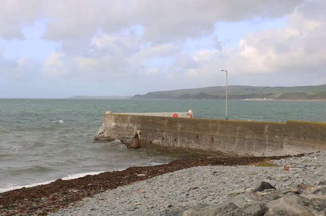
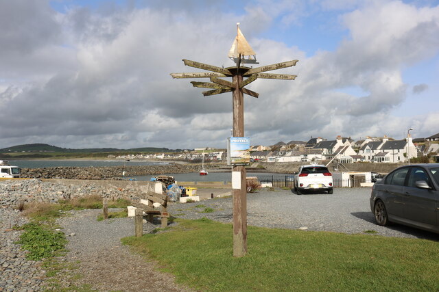
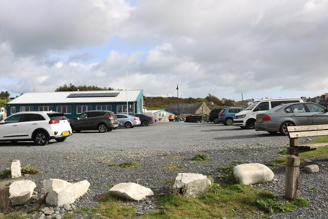
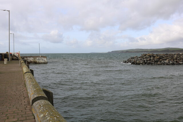
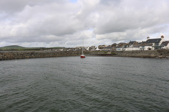
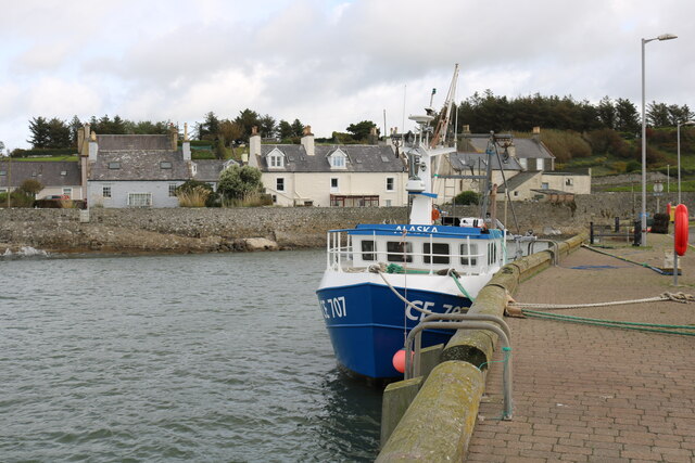
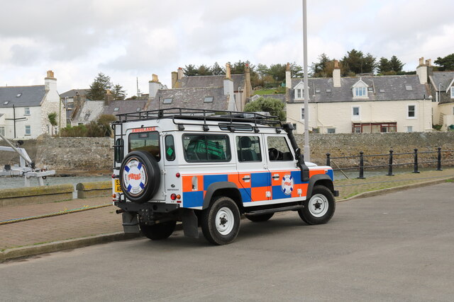
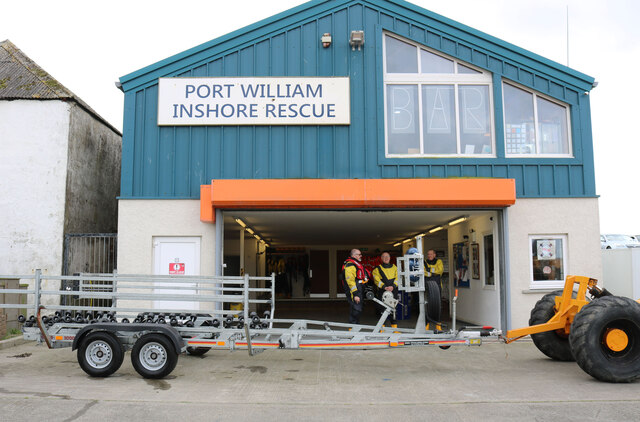
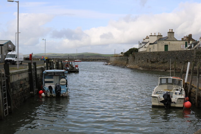
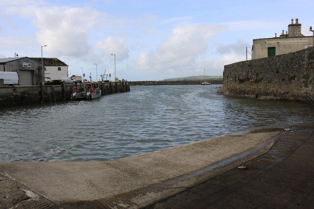
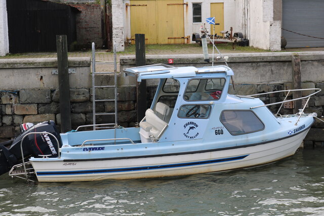
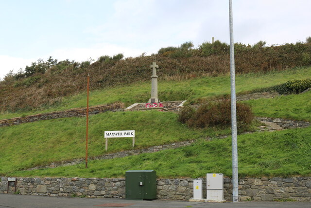
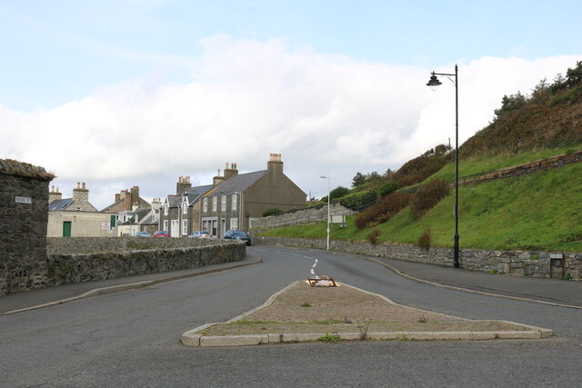
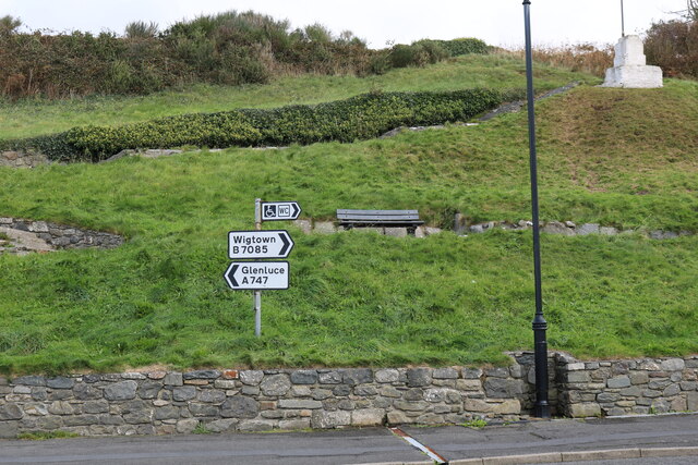
Moormains Plantation Images
Images are sourced within 2km of 54.765712/-4.5592399 or Grid Reference NX3544. Thanks to Geograph Open Source API. All images are credited.
Moormains Plantation is located at Grid Ref: NX3544 (Lat: 54.765712, Lng: -4.5592399)
Unitary Authority: Dumfries and Galloway
Police Authority: Dumfries and Galloway
What 3 Words
///stooping.declining.runways. Near Whithorn, Dumfries & Galloway
Related Wikis

Drumtroddan standing stones
The Drumtroddan standing stones (grid reference NX 36449 44300) are a small Neolithic or Bronze Age stone alignment in the parish of Mochrum, Wigtownshire...

Monreith House
Monreith House is a category A listed Georgian mansion located 1.5 kilometres (0.93 mi) east of the village of Port William in Mochrum parish in the historical...

Port William, Dumfries and Galloway
Port William (Scottish Gaelic: Cill na Tràghad) is a fishing village in the parish of Mochrum in the historical county of Wigtownshire, Dumfries and Galloway...

Wren's Egg
The Wren's Egg (grid reference NX 3610 4199) is the name given to a set of late Neolithic or Bronze Age stone monuments in the parish of Glasserton, Wigtownshire...
Nearby Amenities
Located within 500m of 54.765712,-4.5592399Have you been to Moormains Plantation?
Leave your review of Moormains Plantation below (or comments, questions and feedback).