Drumtroddan Plantation
Wood, Forest in Wigtownshire
Scotland
Drumtroddan Plantation
Drumtroddan Plantation is a picturesque woodland located in Wigtownshire, Scotland. Covering an area of approximately 500 acres, it is renowned for its stunning natural beauty and rich biodiversity. The plantation is nestled between the villages of Port William and Whithorn, making it easily accessible to visitors.
The woodland is predominantly made up of native Scottish trees, such as oak, birch, and rowan, which create a dense and enchanting canopy. The lush undergrowth is home to a myriad of plant species, including bluebells, ferns, and wildflowers, adding vibrant colors to the landscape.
One of the main attractions of Drumtroddan Plantation is its ancient stone circle, which dates back to the Neolithic period. The stone circle consists of 19 granite boulders, with the tallest standing at approximately 11 feet. The purpose and meaning of the circle remain a mystery, but it is believed to have had religious or ceremonial significance to the ancient inhabitants of the area.
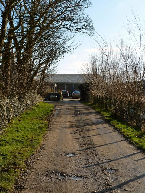
The woodland also offers a range of walking trails, allowing visitors to explore its beauty at their own pace. These trails are well-maintained and offer breathtaking views of the surrounding countryside, including the nearby Solway Firth.
Drumtroddan Plantation is not only a haven for nature enthusiasts but also provides a habitat for various wildlife species. Visitors may catch glimpses of red squirrels, roe deer, and a variety of birdlife, including woodpeckers and owls.
In conclusion, Drumtroddan Plantation is a captivating woodland that combines natural beauty, historical intrigue, and abundant wildlife. It offers a tranquil escape for those seeking to immerse themselves in Scotland's enchanting countryside.
If you have any feedback on the listing, please let us know in the comments section below.
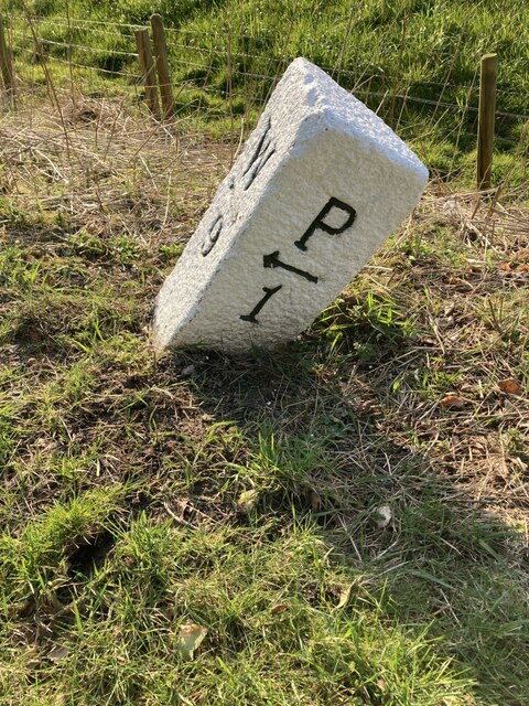
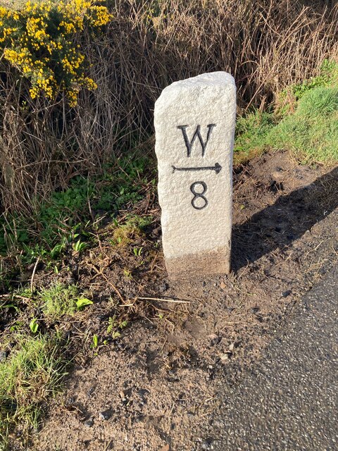
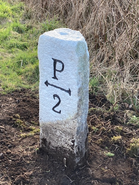
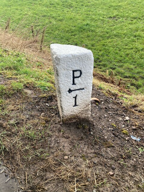
Drumtroddan Plantation Images
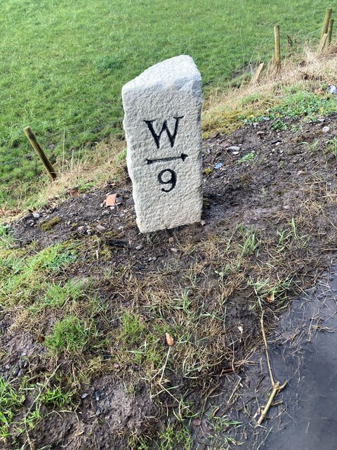
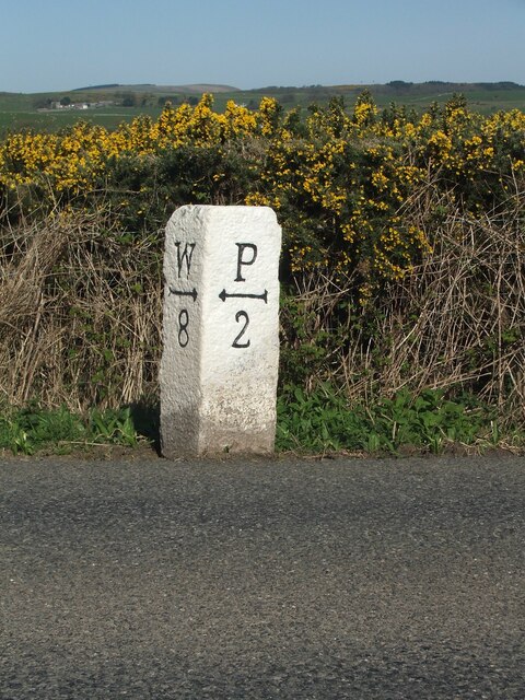
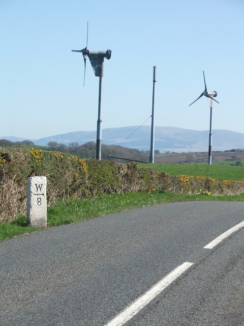
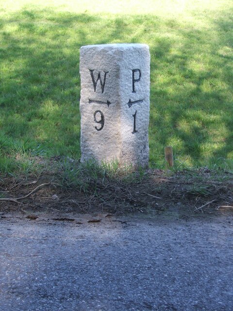
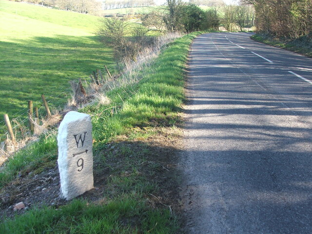
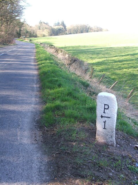
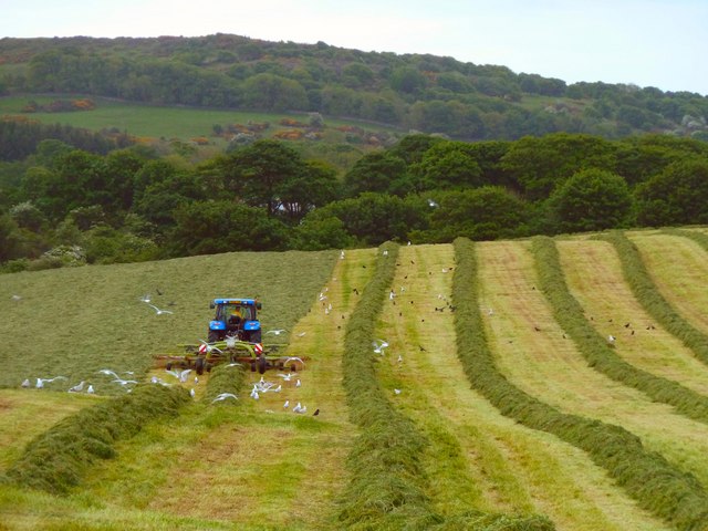
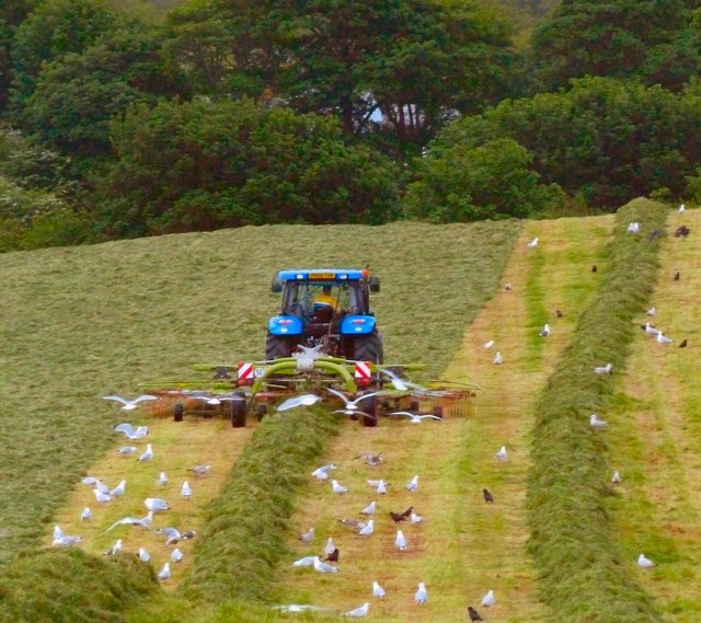
Images are sourced within 2km of 54.770645/-4.5521346 or Grid Reference NX3544. Thanks to Geograph Open Source API. All images are credited.


Drumtroddan Plantation is located at Grid Ref: NX3544 (Lat: 54.770645, Lng: -4.5521346)
Unitary Authority: Dumfries and Galloway
Police Authority: Dumfries and Galloway
What 3 Words
///ambushes.speaks.acids. Near Whithorn, Dumfries & Galloway
Related Wikis

Drumtroddan standing stones
The Drumtroddan standing stones (grid reference NX 36449 44300) are a small Neolithic or Bronze Age stone alignment in the parish of Mochrum, Wigtownshire...

Monreith House
Monreith House is a category A listed Georgian mansion located 1.5 kilometres (0.93 mi) east of the village of Port William in Mochrum parish in the historical...

Port William, Dumfries and Galloway
Port William (Scottish Gaelic: Cill na Tràghad) is a fishing village in the parish of Mochrum in the historical county of Wigtownshire, Dumfries and Galloway...

Wren's Egg
The Wren's Egg (grid reference NX 3610 4199) is the name given to a set of late Neolithic or Bronze Age stone monuments in the parish of Glasserton, Wigtownshire...

Mochrum
Mochrum () is a coastal civil and Church of Scotland parish situated to the east of Luce Bay on the Machars peninsula and 8 miles (13 km) southwest of...
Monreith
Monreith ([mɒn'ri:θ] / 'mon-REETH'; Scottish Gaelic: Am Monadh Rèidh) is a small seaside village in the Machars, in the historical county of Wigtownshire...

Elrig
Elrig (Scottish Gaelic: An Eileirg, meaning "the deer run") is a clachan or hamlet in the historical county of Wigtownshire in Dumfries and Galloway...
Whauphill
Whauphill is a small village located in the historical county of Wigtownshire in the Machars, Dumfries and Galloway, Scotland.Whauphill is a hub that supports...
Nearby Amenities
Located within 500m of 54.770645,-4.5521346Have you been to Drumtroddan Plantation?
Leave your review of Drumtroddan Plantation below (or comments, questions and feedback).