Burnside Plantation
Wood, Forest in Wigtownshire
Scotland
Burnside Plantation
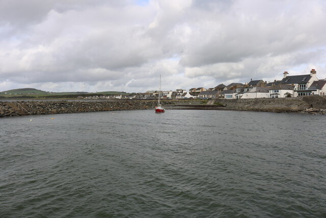
Burnside Plantation, located in Wigtownshire, is a picturesque woodland area known for its lush forests and natural beauty. Situated on the outskirts of the town of Wigtown, this plantation spans over a vast expanse of land, covering approximately 200 acres.
The plantation is primarily composed of different types of wood, including oak, birch, and pine, which create a diverse and vibrant ecosystem. The dense forest offers a peaceful and serene environment, attracting nature enthusiasts and hikers from all around. The well-maintained trails within the plantation provide visitors with an opportunity to explore the woodlands and observe the native flora and fauna.
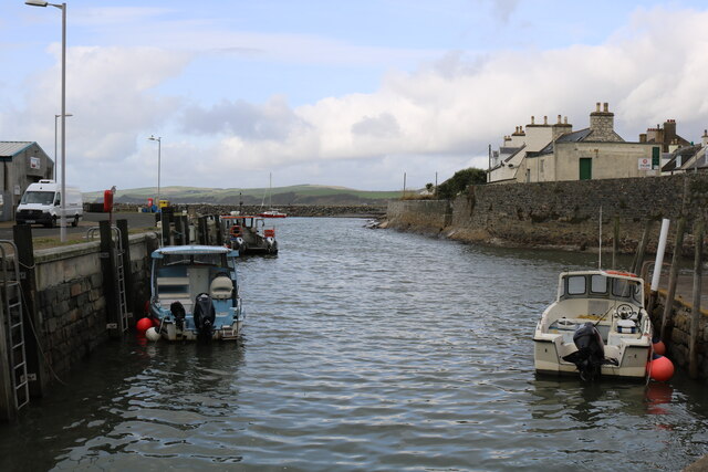
One of the prominent features of Burnside Plantation is the Burnside River that meanders through the plantation, adding to the scenic charm of the area. The river is home to various species of fish and provides a habitat for a wide range of water birds.
Burnside Plantation also boasts a rich history, with evidence of human habitation dating back centuries. The remains of ancient settlements, including stone circles and burial mounds, can be found within the woodland, offering a glimpse into the region's past.
The plantation is managed by a team of dedicated conservationists who strive to maintain the natural integrity of the area while promoting sustainable practices. They organize guided tours and educational programs to raise awareness about the importance of preserving this unique ecosystem.
In conclusion, Burnside Plantation in Wigtownshire is a captivating woodland area that offers a delightful combination of natural beauty, diverse wildlife, and historical significance. It is a haven for nature lovers and history enthusiasts alike, providing a tranquil escape from the hustle and bustle of everyday life.
If you have any feedback on the listing, please let us know in the comments section below.
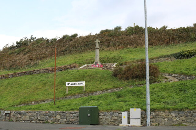
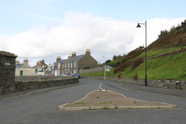
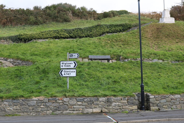
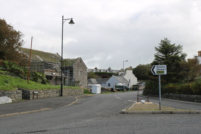
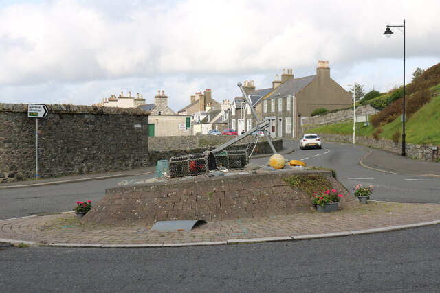
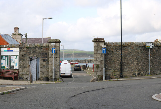
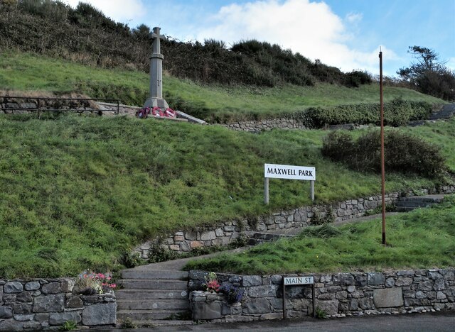
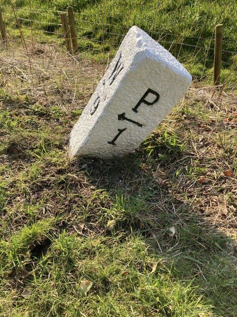
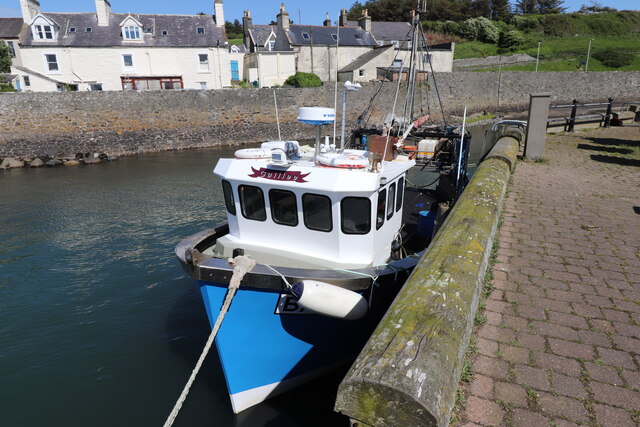
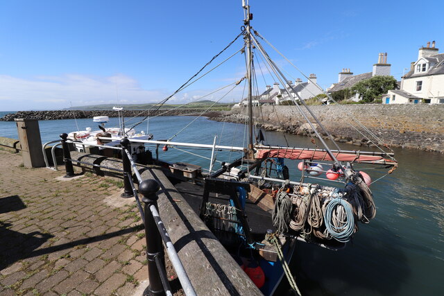
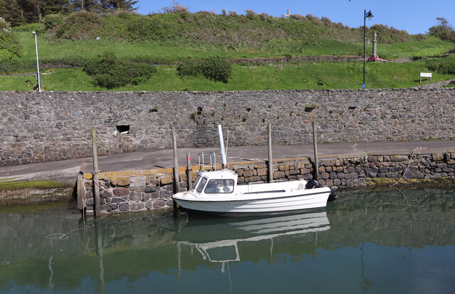
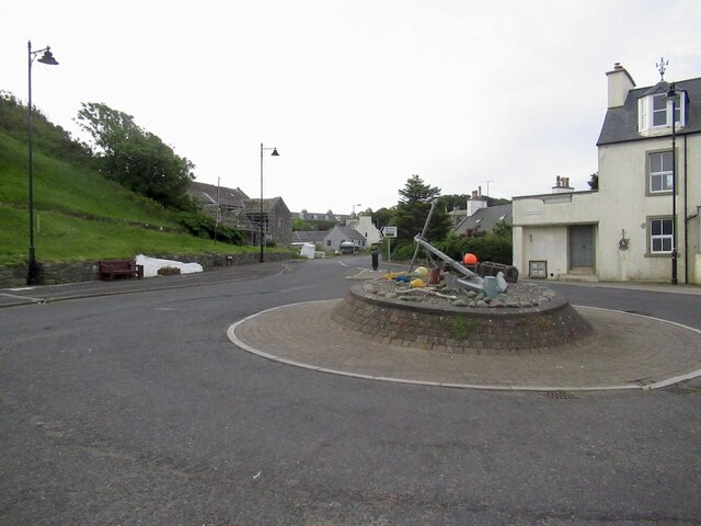
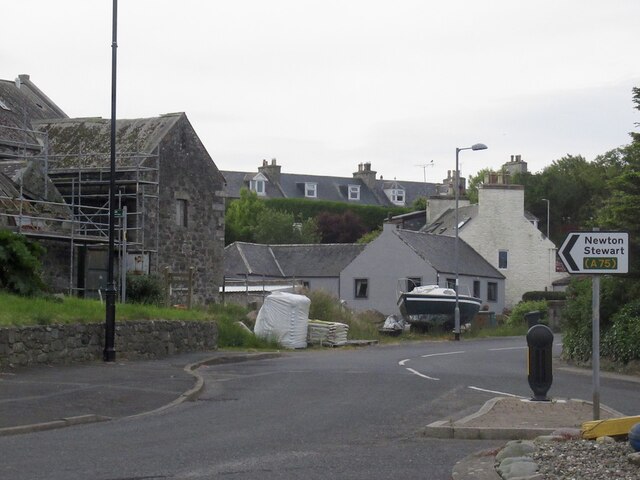
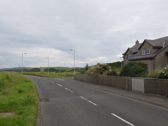
Burnside Plantation Images
Images are sourced within 2km of 54.770067/-4.5582088 or Grid Reference NX3544. Thanks to Geograph Open Source API. All images are credited.
Burnside Plantation is located at Grid Ref: NX3544 (Lat: 54.770067, Lng: -4.5582088)
Unitary Authority: Dumfries and Galloway
Police Authority: Dumfries and Galloway
What 3 Words
///uttering.cartoons.agency. Near Whithorn, Dumfries & Galloway
Related Wikis

Drumtroddan standing stones
The Drumtroddan standing stones (grid reference NX 36449 44300) are a small Neolithic or Bronze Age stone alignment in the parish of Mochrum, Wigtownshire...

Monreith House
Monreith House is a category A listed Georgian mansion located 1.5 kilometres (0.93 mi) east of the village of Port William in Mochrum parish in the historical...

Port William, Dumfries and Galloway
Port William (Scottish Gaelic: Cill na Tràghad) is a fishing village in the parish of Mochrum in the historical county of Wigtownshire, Dumfries and Galloway...

Wren's Egg
The Wren's Egg (grid reference NX 3610 4199) is the name given to a set of late Neolithic or Bronze Age stone monuments in the parish of Glasserton, Wigtownshire...

Mochrum
Mochrum () is a coastal civil and Church of Scotland parish situated to the east of Luce Bay on the Machars peninsula and 8 miles (13 km) southwest of...
Monreith
Monreith ([mɒn'ri:θ] / 'mon-REETH'; Scottish Gaelic: Am Monadh Rèidh) is a small seaside village in the Machars, in the historical county of Wigtownshire...

Elrig
Elrig (Scottish Gaelic: An Eileirg, meaning "the deer run") is a clachan or hamlet in the historical county of Wigtownshire in Dumfries and Galloway...
Whauphill
Whauphill is a small village located in the historical county of Wigtownshire in the Machars, Dumfries and Galloway, Scotland.Whauphill is a hub that supports...
Nearby Amenities
Located within 500m of 54.770067,-4.5582088Have you been to Burnside Plantation?
Leave your review of Burnside Plantation below (or comments, questions and feedback).