Approach Loch
Lake, Pool, Pond, Freshwater Marsh in Ayrshire
Scotland
Approach Loch
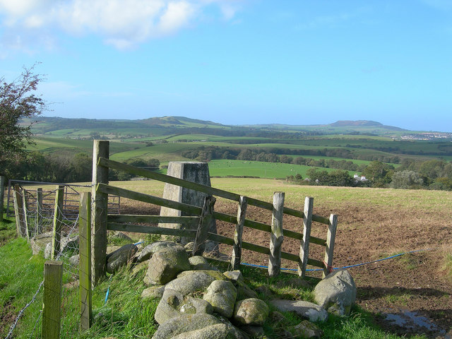
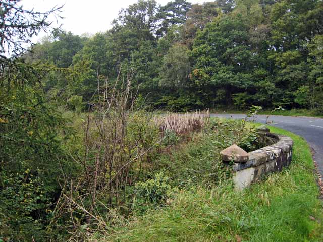
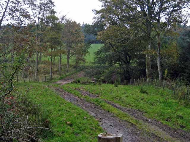
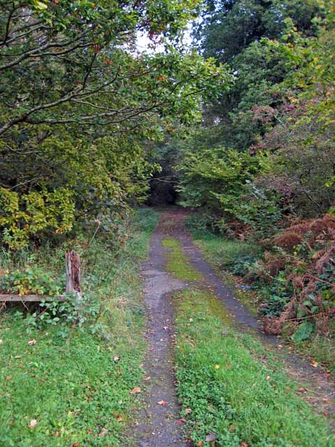
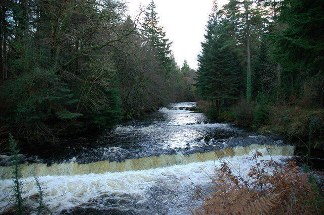
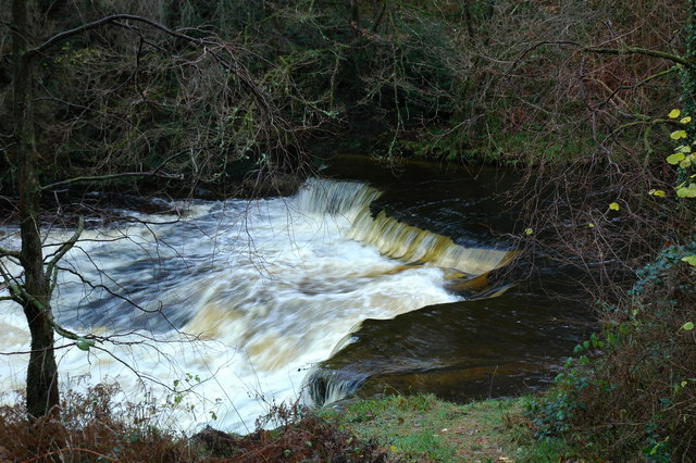
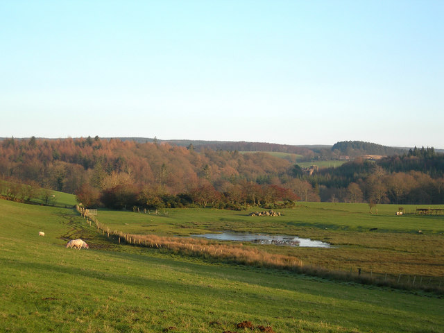
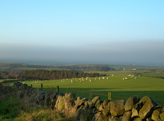
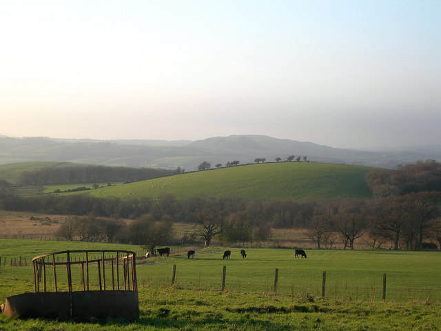
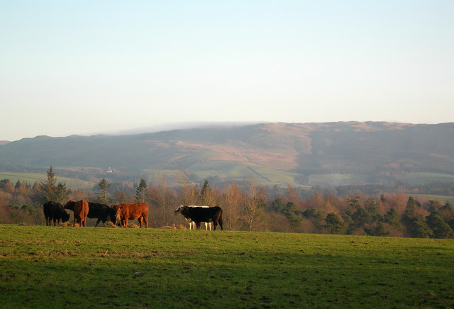
Approach Loch is a picturesque freshwater body located in Ayrshire, Scotland. Stretching across an area of approximately 10 acres, this natural water feature is often referred to as a lake, although its size may classify it more accurately as a large pond or pool. It is nestled amidst rolling hills and lush greenery, providing a serene and tranquil setting for visitors to enjoy.
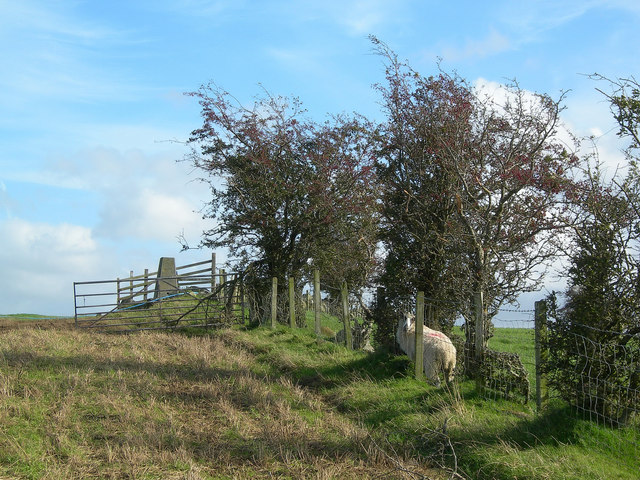
The loch is fed by several small streams and springs, ensuring a constant flow of freshwater, which contributes to its overall health and biodiversity. Its clear and pristine waters provide a habitat for various species of aquatic fauna and flora, including fish, frogs, and water plants. The surrounding marshland further enhances the ecological diversity of the area, attracting a range of bird species and other wetland-dependent organisms.
Approach Loch is a popular spot for outdoor enthusiasts and nature lovers alike. It offers opportunities for a range of recreational activities such as fishing, boating, and birdwatching. Anglers are drawn to the loch for its healthy population of fish, including brown trout and perch. Boating enthusiasts can navigate the calm waters, taking in the scenic beauty of the surrounding landscape.
The loch is easily accessible, with a nearby parking area and walking trails leading visitors to its shores. It is often frequented by locals and tourists seeking a peaceful escape from the hustle and bustle of everyday life. The calm atmosphere, combined with the breathtaking natural beauty, makes Approach Loch a haven for those seeking solace in nature's embrace.
If you have any feedback on the listing, please let us know in the comments section below.
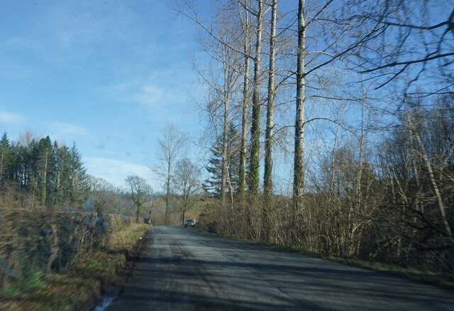
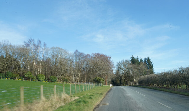
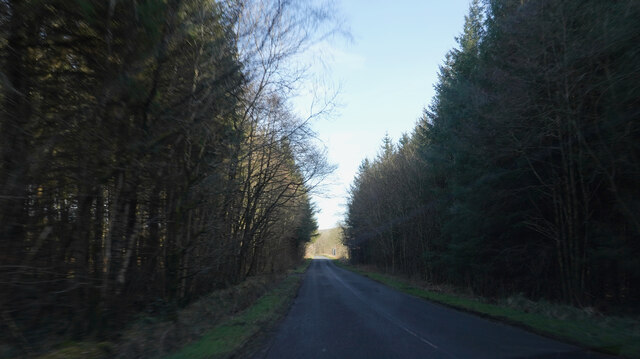
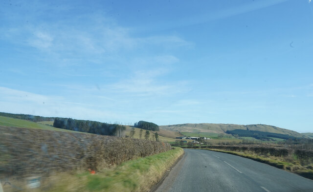
Approach Loch Images
Images are sourced within 2km of 55.322573/-4.5890913 or Grid Reference NS3506. Thanks to Geograph Open Source API. All images are credited.
Approach Loch is located at Grid Ref: NS3506 (Lat: 55.322573, Lng: -4.5890913)
Unitary Authority: South Ayrshire
Police Authority: Ayrshire
What 3 Words
///assess.hitters.smoker. Near Patna, East Ayrshire
Nearby Locations
Related Wikis

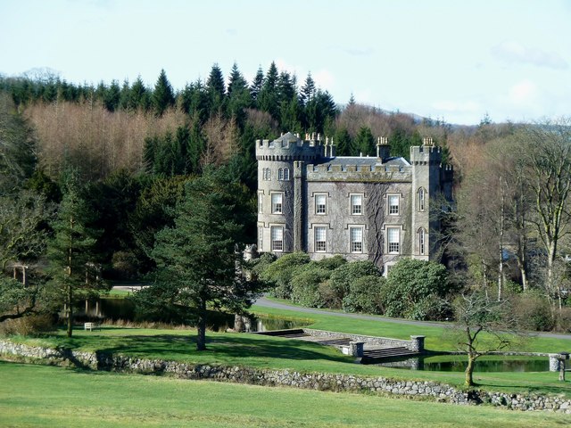
Blairquhan Castle
Blairquhan ( blair-WHAHN, Scots: Blairwhan) is a Regency era castle near Maybole in South Ayrshire, Scotland. It was the historic home of the Hunter-Blair...
Cloncaird Castle
Cloncaird Castle is located near the small village of Kirkmichael, around 6 kilometres (3.7 mi) east of Maybole in South Ayrshire, Scotland. The castle...

Straiton
Straiton is a village on the River Girvan in South Ayrshire in Scotland. It lies in the hills between Kirkmichael, Dalmellington, Crosshill, and Maybole...

Ayr, Carrick and Cumnock (UK Parliament constituency)
Ayr, Carrick, and Cumnock is a county constituency represented in the House of Commons of the Parliament of the United Kingdom. It was created for the...

Kirkmichael, South Ayrshire
Kirkmichael (Gaelic: Cille Mhìcheil, "the church of St Michael") is a village in South Ayrshire, Scotland, located between Patna, Maybole and Straiton...

Crosshill, South Ayrshire
Crosshill is a small village in South Ayrshire, Scotland.Crosshill has a primary school. == References ==

Crosshill railway station (Ayr)
Crosshill railway station served the village of Crosshill, South Ayrshire, Scotland, from 1860 to 1862 on the Maybole and Girvan Railway. == History... ==

Drunmore Linn
Drunmore Linn is a waterfall of Scotland, near Straiton, South Ayrshire. == See also == Waterfalls of Scotland == References ==
Have you been to Approach Loch?
Leave your review of Approach Loch below (or comments, questions and feedback).