White Loch of Myrton

Lake, Pool, Pond, Freshwater Marsh in Wigtownshire

Scotland

White Loch of Myrton

Maxwell Park, Port William With War Memorial, viewed from Main Street.
Maxwell Park, Port William Credit: Billy McCrorie

White Loch of Myrton is a picturesque freshwater loch located in Wigtownshire, Scotland. The loch, also known as a pool or pond, is situated in a beautiful natural setting surrounded by rolling hills and lush vegetation. It covers an area of approximately 60 acres and has a maximum depth of around 10 feet.

The loch is fed by several small streams that flow into it, ensuring a constant supply of freshwater. It is also home to a variety of aquatic plants and wildlife, making it a popular spot for nature enthusiasts and birdwatchers. The surrounding area is teeming with diverse flora and fauna, including water lilies, reeds, and various species of fish.

The tranquil atmosphere of White Loch of Myrton makes it an ideal location for recreational activities such as fishing and boating. Anglers can expect to find a range of fish species in the loch, including pike, perch, and roach. Fishing permits are required, and local regulations must be followed to ensure the preservation of the ecosystem.

The loch is surrounded by a walking trail that offers stunning views of the surrounding countryside. Visitors can enjoy a leisurely stroll while taking in the serene beauty of the area. Additionally, there are several picnic spots and benches along the trail, providing a perfect opportunity for a relaxing outdoor lunch.

Overall, White Loch of Myrton is a captivating freshwater marsh that offers a peaceful retreat amidst the natural beauty of Wigtownshire. Whether it's fishing, birdwatching, or simply enjoying a scenic walk, this loch provides a delightful experience for nature lovers of all ages.

If you have any feedback on the listing, please let us know in the comments section below.

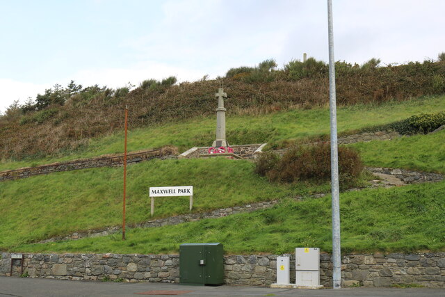
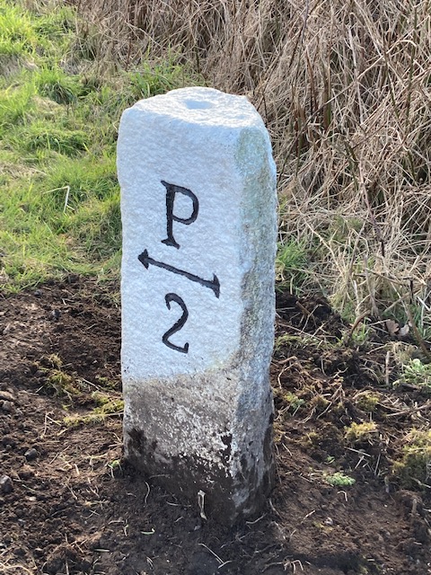
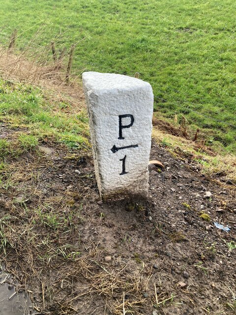
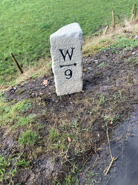
White Loch of Myrton Images

Images are sourced within 2km of 54.759796/-4.552493 or Grid Reference NX3543. Thanks to Geograph Open Source API. All images are credited.

Maxwell Park, Port William With War Memorial, viewed from Main Street.
Maxwell Park, Port William
With War Memorial, viewed from Main Street.
Main Street, Port William Viewed from the Roundabout.
Main Street, Port William
Viewed from the Roundabout.
Road Signs, Port William Viewed from the Roundabout.
Road Signs, Port William
Viewed from the Roundabout.
High Street, Port William Also the B7085.
High Street, Port William
Also the B7085.
The Roundabout at Port William Between The Square and Main Street.
The Roundabout at Port William
Between The Square and Main Street.
Hedge Trimming Cutting the roadside hedges near South Barsalloch Farm on the North Barsalloch Road from Monreith.
Hedge Trimming
Cutting the roadside hedges near South Barsalloch Farm on the North Barsalloch Road from Monreith.
War Memorial Port William War Memorial situated in Maxwell Park off Main Street at Port William.
War Memorial Port William
War Memorial situated in Maxwell Park off Main Street at Port William.
Old milestone A leaning Wigtownshire milestone that has had vegetation cleared away to show the extent of its lean but has been repainted.  It is on the B7085 just west of the B7021.  The next milestone nearer Port William has the mileage to Port William as ½ mile.  The W is for Wigtown.
Old milestone
A leaning Wigtownshire milestone that has had vegetation cleared away to show the extent of its lean but has been repainted. It is on the B7085 just west of the B7021. The next milestone nearer Port William has the mileage to Port William as ½ mile. The W is for Wigtown.
A747 approaching Port William The road follows a raised beach for some distance here.
A747 approaching Port William
The road follows a raised beach for some distance here.
Port William The A747 uses a raised beach while there are houses and farmland above a steep vegetated bank.
Port William
The A747 uses a raised beach while there are houses and farmland above a steep vegetated bank.
Campsite, Port William
South Street, Port William
Roundabout and B7085,  Port William
Roundabout and B7085, Port William
B7085, Port William
B7085, Port William
Old milestone This Wigtownshire style milestone has recently been uplifted and repainted by a Milestone Society member.  The W is for Wigtown.   This style of milestone was probably set up in the late 19C/early 20C after the inaugurtion of county councils.
Old milestone
This Wigtownshire style milestone has recently been uplifted and repainted by a Milestone Society member. The W is for Wigtown. This style of milestone was probably set up in the late 19C/early 20C after the inaugurtion of county councils.
Old milestone The right face of the milestone 8 miles from Wigtown.   Many of the milestones in Wigtownshire are of a quadrant shape.
Old milestone
The right face of the milestone 8 miles from Wigtown. Many of the milestones in Wigtownshire are of a quadrant shape.
Old milestone The milestone just west of the B7021 junction on the road from Wigtown to Port William.   Straightened, uplifted and painted by a local Milestone Society member.
Old milestone
The milestone just west of the B7021 junction on the road from Wigtown to Port William. Straightened, uplifted and painted by a local Milestone Society member.
Old milestone The Wigtown face of the milestone recently straightened and uplifted.   Many of the Wigtownshire stones are a quadrant shape but others, like this one, are more triangular.
Old milestone
The Wigtown face of the milestone recently straightened and uplifted. Many of the Wigtownshire stones are a quadrant shape but others, like this one, are more triangular.
Show me another place!

White Loch of Myrton is located at Grid Ref: NX3543 (Lat: 54.759796, Lng: -4.552493)

Unitary Authority: Dumfries and Galloway

Police Authority: Dumfries and Galloway

What 3 Words

///seeing.product.eggplants. Near Whithorn, Dumfries & Galloway

Related Wikis

Monreith House

Monreith House is a category A listed Georgian mansion located 1.5 kilometres (0.93 mi) east of the village of Port William in Mochrum parish in the historical...

Drumtroddan standing stones

The Drumtroddan standing stones (grid reference NX 36449 44300) are a small Neolithic or Bronze Age stone alignment in the parish of Mochrum, Wigtownshire...

Wren's Egg

The Wren's Egg (grid reference NX 3610 4199) is the name given to a set of late Neolithic or Bronze Age stone monuments in the parish of Glasserton, Wigtownshire...

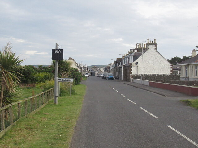
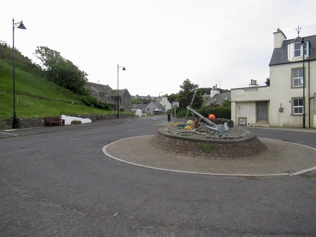
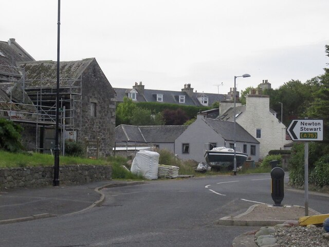
Port William, Dumfries and Galloway

Port William (Scottish Gaelic: Cill na Tràghad) is a fishing village in the parish of Mochrum in the historical county of Wigtownshire, Dumfries and Galloway...

Nearby Amenities

Located within 500m of 54.759796,-4.552493
Monreith
Place: hamlet
Lat/Long: 54.7580203/-4.5484905
Power: pole
Lat/Long: 54.7566231/-4.5478698
Power: pole
Lat/Long: 54.7571731/-4.5474873
Power: pole
Lat/Long: 54.7577779/-4.5470963
Power: pole
Lat/Long: 54.758163/-4.547045
Power: pole
Lat/Long: 54.758102/-4.546559
Power: pole
Lat/Long: 54.7582447/-4.5481778
Power: pole
Lat/Long: 54.7621345/-4.5458827
Power: pole
Lat/Long: 54.7617084/-4.5458574
Power: pole
Lat/Long: 54.7618065/-4.5466002
Power: pole
Lat/Long: 54.7618968/-4.5473018
The data included in this document is from www.openstreetmap.org. The data is made available under ODbL.

Have you been to White Loch of Myrton?

Leave your review of White Loch of Myrton below (or comments, questions and feedback).