Five Shilling Wood
Wood, Forest in Ayrshire
Scotland
Five Shilling Wood
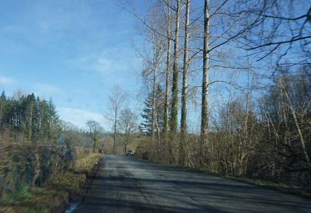
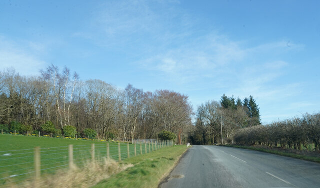
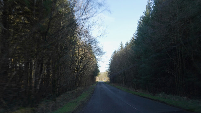
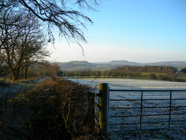
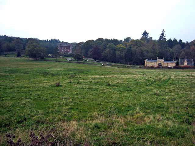
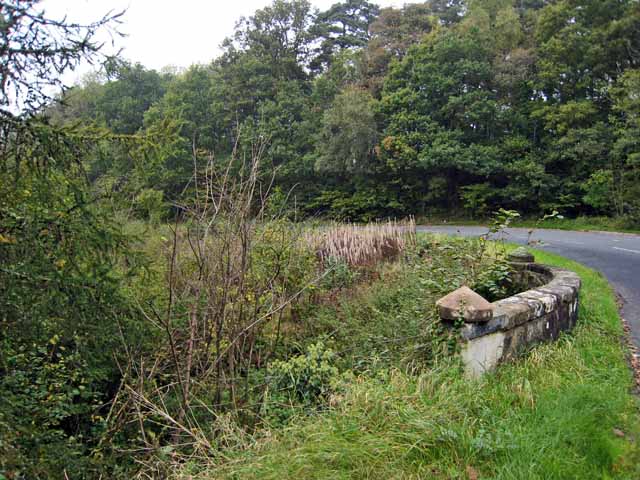
Five Shilling Wood is a picturesque forest located in Ayrshire, Scotland. Spanning over a vast area of lush greenery, this wood is a popular destination for nature enthusiasts and hikers alike. The name of the wood is said to originate from the fact that it was once sold for five shillings, a form of currency used in Scotland in the past.
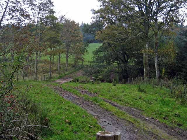
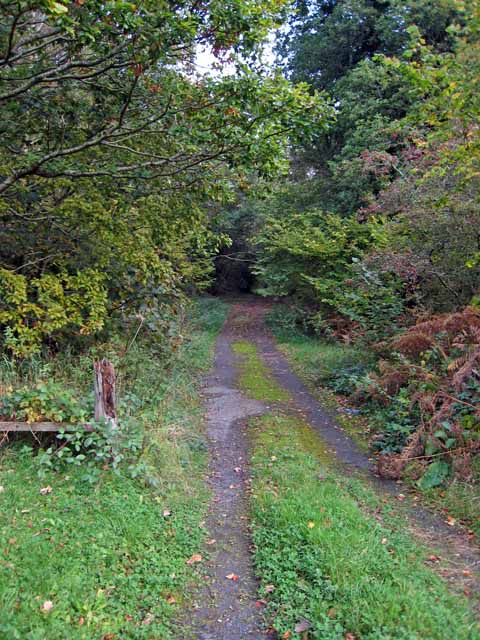
The wood boasts a diverse range of tree species, including oak, beech, and birch, creating a vibrant and varied ecosystem. The well-maintained trails winding through the forest provide visitors with an opportunity to explore its beauty at their own pace. The woodland floor is adorned with a carpet of wildflowers in the spring and summer months, adding a splash of color to the surroundings.
Wildlife thrives in Five Shilling Wood, with numerous bird species, such as woodpeckers and owls, making it their habitat. Squirrels can be spotted playfully darting between the trees, and if lucky, one might even catch a glimpse of a deer or two. The peaceful ambiance of the wood is enhanced by the gentle rustling of leaves and the occasional song of birds.
The wood is also a haven for outdoor activities, with designated picnic areas and camping spots available for visitors. It is a perfect spot for families to enjoy a day out, with ample space for children to run around and explore. The wood is easily accessible, with a well-maintained car park and clear signposting.
Overall, Five Shilling Wood in Ayrshire is a captivating destination that offers a serene and immersive experience in nature.
If you have any feedback on the listing, please let us know in the comments section below.
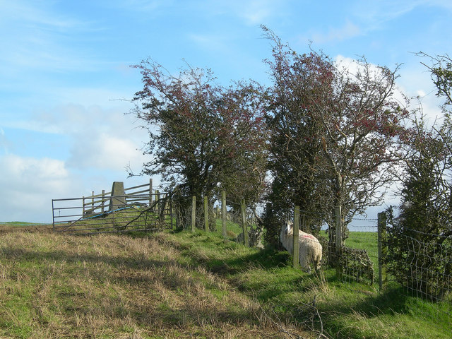
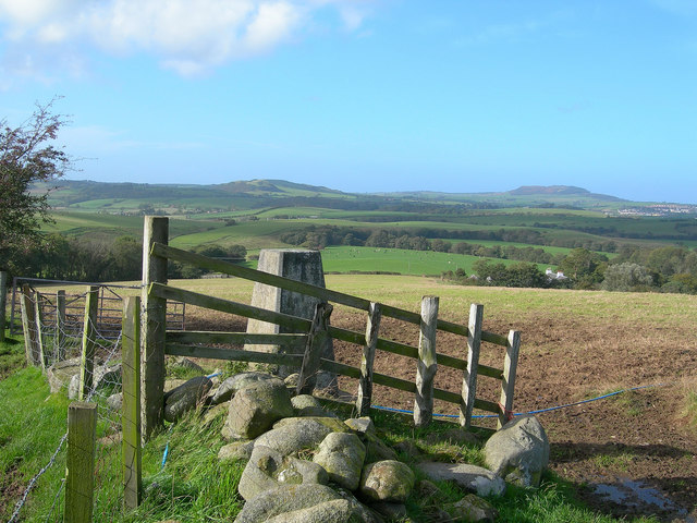
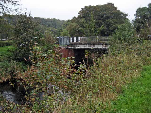
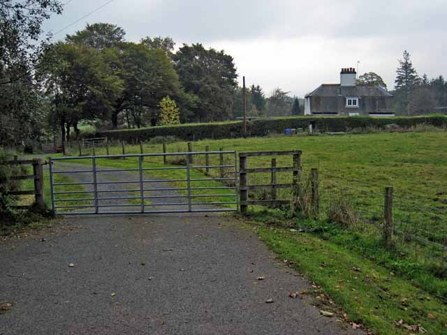
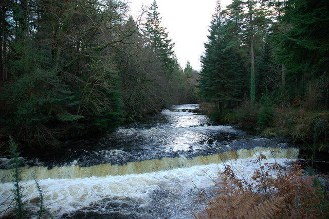
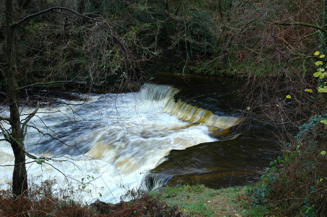
Five Shilling Wood Images
Images are sourced within 2km of 55.325161/-4.5950461 or Grid Reference NS3506. Thanks to Geograph Open Source API. All images are credited.


Five Shilling Wood is located at Grid Ref: NS3506 (Lat: 55.325161, Lng: -4.5950461)
Unitary Authority: South Ayrshire
Police Authority: Ayrshire
What 3 Words
///imperious.push.feelers. Near Maybole, South Ayrshire
Nearby Locations
Related Wikis
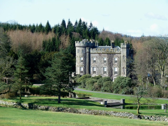
Cloncaird Castle
Cloncaird Castle is located near the small village of Kirkmichael, around 6 kilometres (3.7 mi) east of Maybole in South Ayrshire, Scotland. The castle...

Blairquhan Castle
Blairquhan ( blair-WHAHN, Scots: Blairwhan) is a Regency era castle near Maybole in South Ayrshire, Scotland. It was the historic home of the Hunter-Blair...

Kirkmichael, South Ayrshire
Kirkmichael (Gaelic: Cille Mhìcheil, "the church of St Michael") is a village in South Ayrshire, Scotland, located between Patna, Maybole and Straiton...

Crosshill, South Ayrshire
Crosshill is a small village in South Ayrshire, Scotland.Crosshill has a primary school. == References ==
Nearby Amenities
Located within 500m of 55.325161,-4.5950461Have you been to Five Shilling Wood?
Leave your review of Five Shilling Wood below (or comments, questions and feedback).