Balsarroch Belts

Wood, Forest in Ayrshire

Scotland

Balsarroch Belts

Burnton Viaduct Viaduct just outside Dalrymple.
Burnton Viaduct Credit: James Hearton

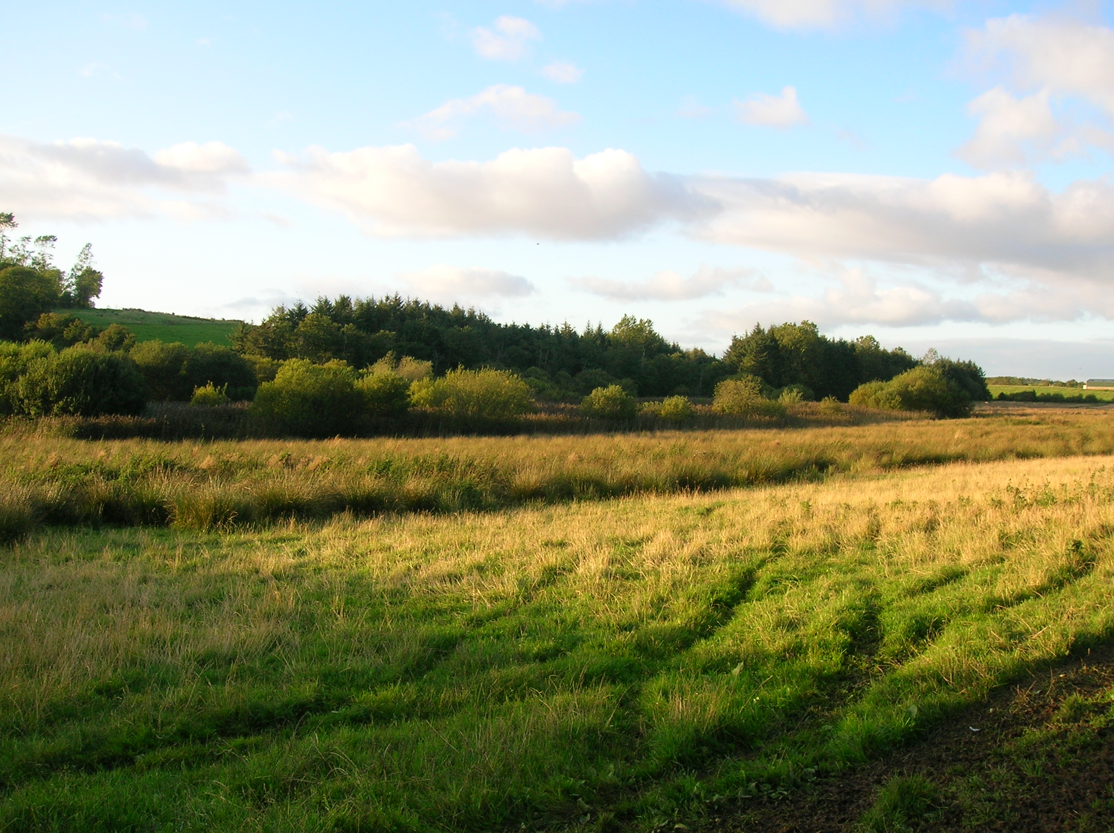
Balsarroch Belts is a wood located in Ayrshire, Scotland, offering visitors a scenic and tranquil experience in the heart of nature. Spanning over an area of approximately 200 acres, this forest is a haven for outdoor enthusiasts and nature lovers alike.

The wood is characterized by its diverse range of tree species, including oak, beech, ash, and birch, which create a rich and vibrant woodland ecosystem. The canopy cover provided by these trees offers shade and shelter to various flora and fauna that call Balsarroch Belts their home.

Walking trails have been established throughout the wood, allowing visitors to explore its beauty at their own pace. These well-maintained paths wind through the forest, showcasing its natural splendor and providing opportunities for birdwatching and wildlife spotting. Wildlife enthusiasts may be lucky enough to spot red squirrels, roe deer, and a variety of bird species such as woodpeckers and warblers.

Balsarroch Belts also boasts a small pond, which serves as a watering hole for local wildlife and adds to the overall charm of the wood. The serene atmosphere and peaceful surroundings make it an ideal spot for picnicking or simply unwinding amidst nature.

Additionally, the wood is managed by local authorities who ensure the conservation and preservation of this valuable natural resource. Their efforts include responsible tree felling and maintaining a healthy balance within the ecosystem.

Whether one seeks solitude, a leisurely walk, or a chance to connect with nature, Balsarroch Belts offers an idyllic setting for all. Its natural beauty, diverse flora and fauna, and well-managed trails make it a must-visit destination for those seeking a peaceful escape in Ayrshire.

If you have any feedback on the listing, please let us know in the comments section below.

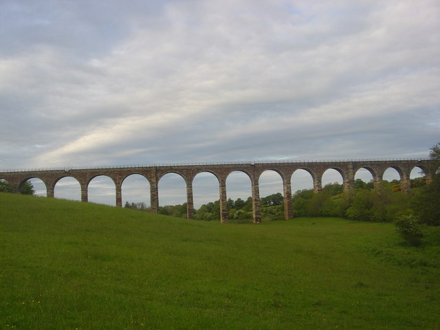
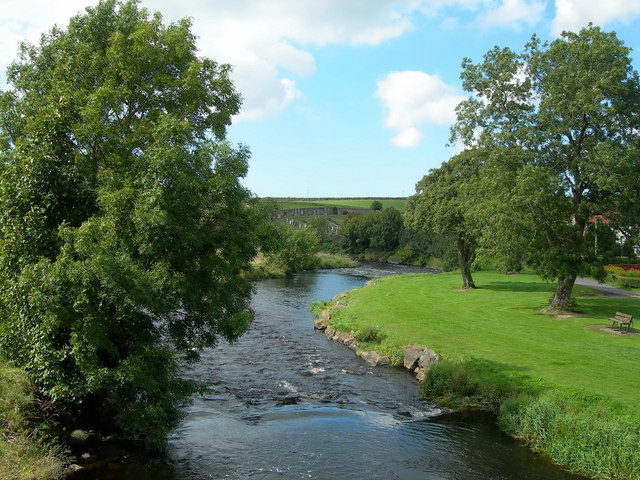
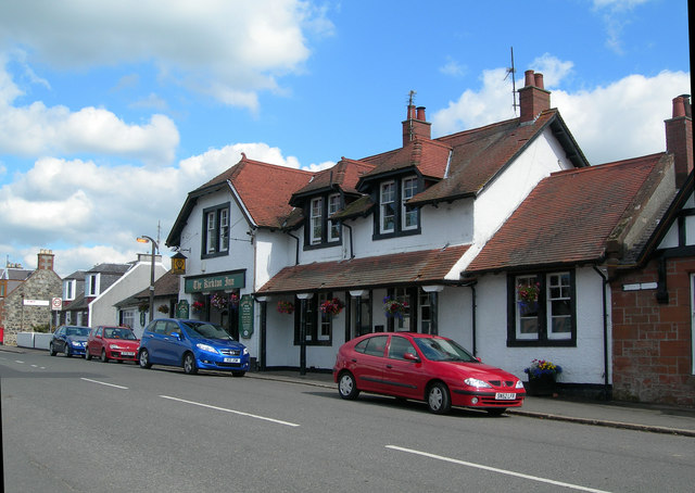
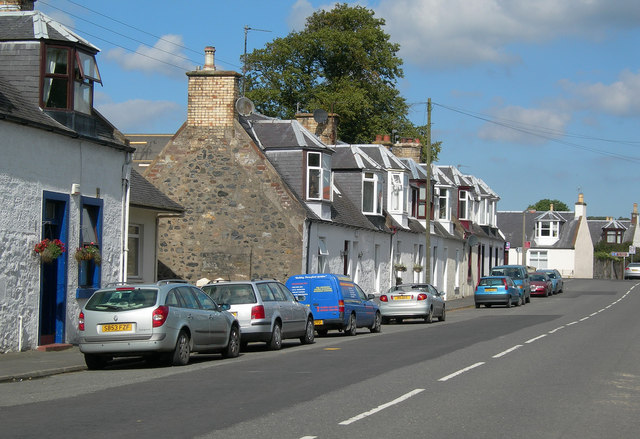
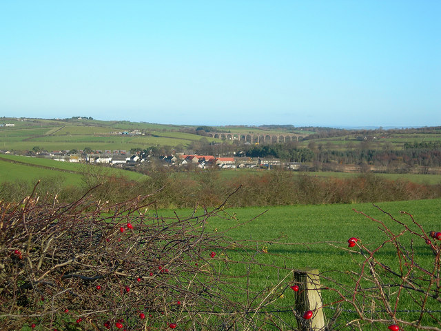
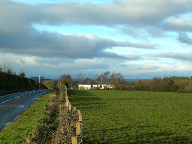
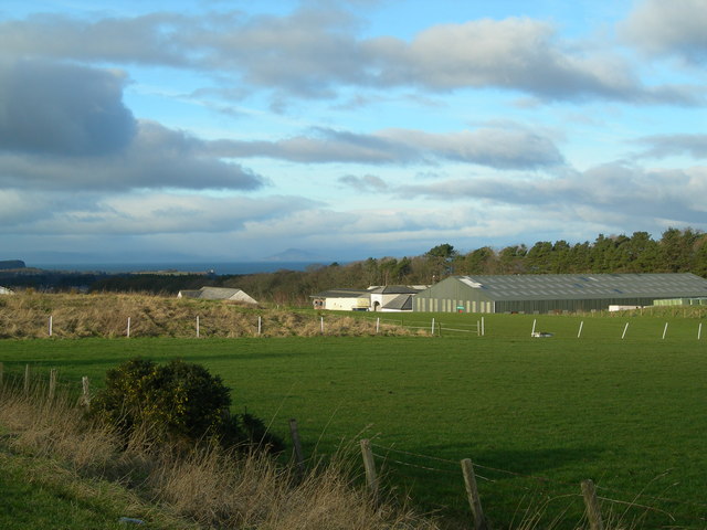
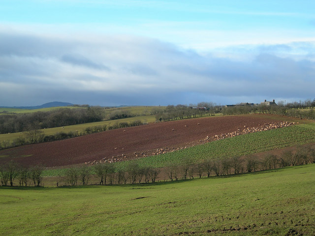
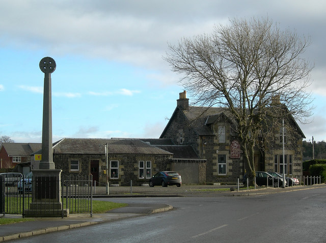
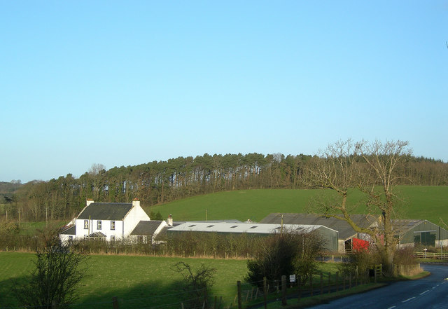
Balsarroch Belts Images

Images are sourced within 2km of 55.409882/-4.5941538 or Grid Reference NS3515. Thanks to Geograph Open Source API. All images are credited.

Burnton Viaduct Viaduct just outside Dalrymple.
Burnton Viaduct
Viaduct just outside Dalrymple.
River Doon at Dalrymple Looking downstream from the bridge at Dalrymple.  The River Doon inspired Robert Burns to write:
     "Ye banks and braes o' bonnie Doon"
      How can ye bloom sae fresh and fair?"
River Doon at Dalrymple
Looking downstream from the bridge at Dalrymple. The River Doon inspired Robert Burns to write: "Ye banks and braes o' bonnie Doon" How can ye bloom sae fresh and fair?"
The Kirkton Inn Busy inn at the junction of the B742 and the B7034.
The Kirkton Inn
Busy inn at the junction of the B742 and the B7034.
Riverside Terrace Well-maintained traditional cottages in the village of Dalrymple
Riverside Terrace
Well-maintained traditional cottages in the village of Dalrymple
Dairying at Barrhill, Ayr Friesian cattle grazing on rich farmland to the south of Ayr.
Dairying at Barrhill, Ayr
Friesian cattle grazing on rich farmland to the south of Ayr.
Country Life Converted cottages on the B7034 road near Carcluie Toll
Country Life
Converted cottages on the B7034 road near Carcluie Toll
Flooded Fields Fields at Barnford Farm, in the flood plain of the River Doon near Dalrymple.
Flooded Fields
Fields at Barnford Farm, in the flood plain of the River Doon near Dalrymple.
Dalrymple Sewage Works Looking WNW across the Doon Valley, with Brown Carrick Hill in the far distance.
Dalrymple Sewage Works
Looking WNW across the Doon Valley, with Brown Carrick Hill in the far distance.
Dalrymple and the Viaduct Looking NE towards the village, with the viaduct in the background.
Dalrymple and the Viaduct
Looking NE towards the village, with the viaduct in the background.
Towards Corton Looking WNW on a bright January morning with the Firth of Clyde and Arran visible in the background.
Towards Corton
Looking WNW on a bright January morning with the Firth of Clyde and Arran visible in the background.
Ayrshire Equitation Centre Viewed from the Corton Road, with the Firth of Clyde and Arran visible in the background.
Ayrshire Equitation Centre
Viewed from the Corton Road, with the Firth of Clyde and Arran visible in the background.
Lindston Loch In dry weather, the loch looks more like a marsh.  In wet weather, the loch floods over the low-lying land in the foreground.  High Balsarroch is in the distance, on the left, with Mochrum Hill visible on the skyline.
Lindston Loch
In dry weather, the loch looks more like a marsh. In wet weather, the loch floods over the low-lying land in the foreground. High Balsarroch is in the distance, on the left, with Mochrum Hill visible on the skyline.
Lindston Farm Mochrum Hill is visible on the skyline.
Lindston Farm
Mochrum Hill is visible on the skyline.
High Balsarroch
High Balsarroch
Dalrymple The White Horse Inn and the War Memorial, at the junction of the B742 and the B7034.
Dalrymple
The White Horse Inn and the War Memorial, at the junction of the B742 and the B7034.
Carcluie Farm
Carcluie Farm
Sheep and Lambs at Carcluie Photographed at the beginning of February.
Sheep and Lambs at Carcluie
Photographed at the beginning of February.
Spring Lambs
Spring Lambs
Show me another place!

Balsarroch Belts is located at Grid Ref: NS3515 (Lat: 55.409882, Lng: -4.5941538)

Unitary Authority: South Ayrshire

Police Authority: Ayrshire

What 3 Words

///lingering.fixture.immediate. Near Dalrymple, East Ayrshire

Nearby Locations

Balsarroch Belts

Related Wikis

Maybole Junction railway station

Maybole Junction railway station was a railway station located between Alloway and Dalrymple in South Ayrshire, Scotland. The station was originally part...

Carcluie Loch

Carcluie Loch (NS 34894 16186) is a small freshwater loch in the South Ayrshire Council Area, lying in a glacial Kettle Hole, Parish of Dalrymple, Scotland...

Dalrymple railway station

Dalrymple railway station was a railway station serving the village of Dalrymple, East Ayrshire, Scotland. The station was originally part of the Ayr and...

Lindston Loch, South Ayrshire

Lindston Loch (NS 37272 16195) was a small freshwater loch situated within a glacial 'kettle hole.' The loch lies in the South Ayrshire Council Area, Parish...

Nearby Amenities

Located within 500m of 55.409882,-4.5941538
Power: pole
Lat/Long: 55.4127841/-4.5885732
Power: pole
Lat/Long: 55.4133756/-4.5898541
Power: pole
Lat/Long: 55.4114154/-4.6014107
Power: pole
Lat/Long: 55.4114207/-4.6004012
Power: pole
Lat/Long: 55.4114352/-4.5993152
Power: pole
Lat/Long: 55.4116328/-4.5983312
Power: pole
Lat/Long: 55.411995/-4.596563
Power: pole
Lat/Long: 55.4123336/-4.5949246
Power: pole
Lat/Long: 55.4126563/-4.5933048
Power: pole
Lat/Long: 55.4129922/-4.5917222
Power: pole
Lat/Long: 55.4132452/-4.5904993
The data included in this document is from www.openstreetmap.org. The data is made available under ODbL.

Have you been to Balsarroch Belts?

Leave your review of Balsarroch Belts below (or comments, questions and feedback).