Broom Plantation
Wood, Forest in Dunbartonshire
Scotland
Broom Plantation
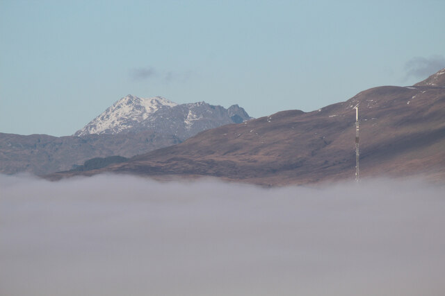
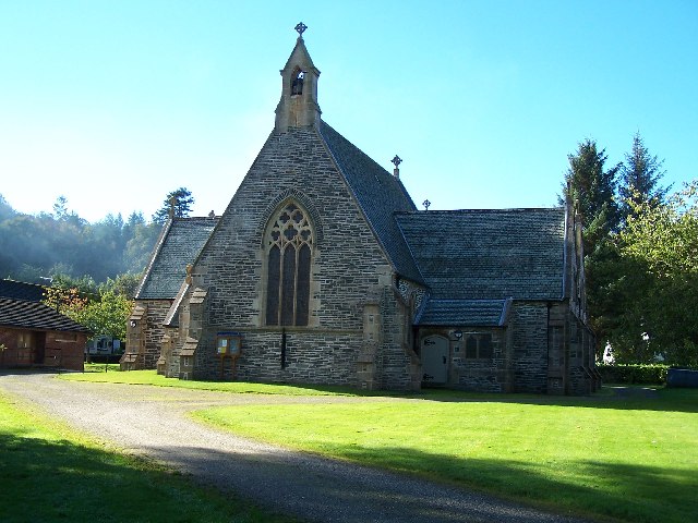
Broom Plantation, located in Dunbartonshire, Scotland, is a picturesque woodland area known for its natural beauty and diverse flora and fauna. Spanning over several acres, this forested area offers a tranquil escape from the hustle and bustle of urban life.
Broom Plantation is primarily composed of broom trees, which give the area its name. These trees, with their vibrant yellow flowers, create a stunning visual spectacle during their blooming season, which typically occurs in late spring. In addition to broom trees, the plantation is also home to various other tree species, including oak, birch, and pine, which create a rich and diverse woodland ecosystem.
The forest floor of Broom Plantation is covered with a carpet of moss and ferns, providing a lush and verdant undergrowth. This dense undergrowth provides a habitat for a variety of wildlife, including small mammals like rabbits and squirrels, as well as a wide range of bird species.
Broom Plantation offers several walking trails and pathways that wind through the forest, allowing visitors to immerse themselves in the natural beauty of the area. These trails offer different levels of difficulty, catering to both casual walkers and more experienced hikers.
The plantation is a popular destination for nature enthusiasts and those seeking a peaceful retreat. Its serene atmosphere and breathtaking scenery make it an ideal spot for picnics, photography, or simply taking a leisurely stroll amidst nature's splendor.
Overall, Broom Plantation in Dunbartonshire is a must-visit destination for anyone looking to experience the beauty and tranquility of a Scottish woodland.
If you have any feedback on the listing, please let us know in the comments section below.
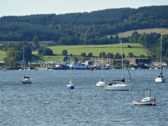
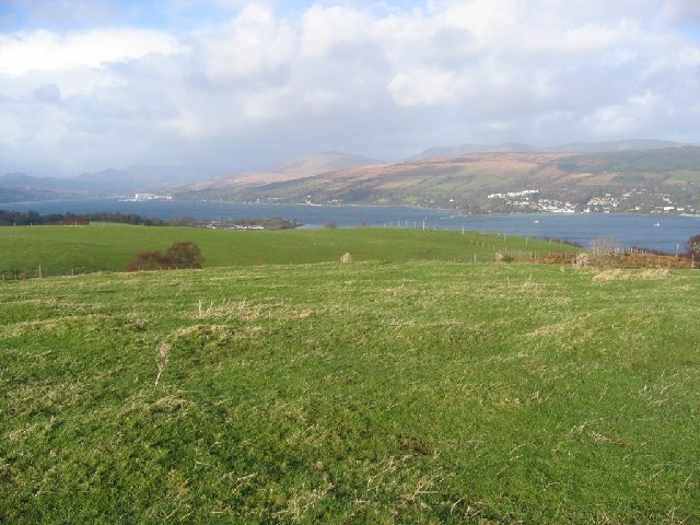
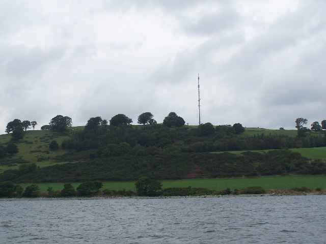
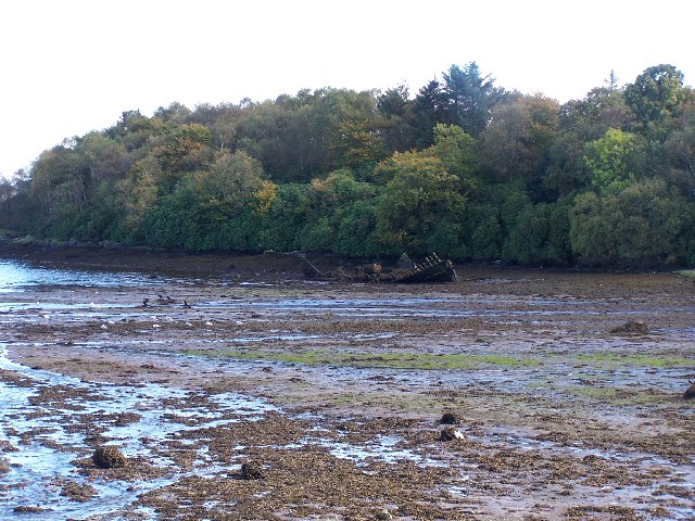
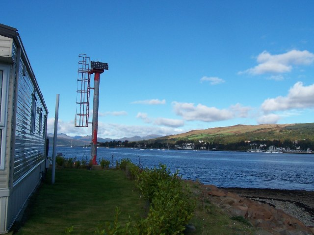
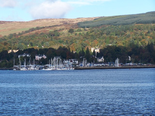
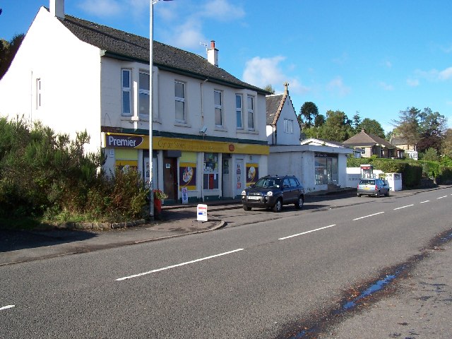
Broom Plantation Images
Images are sourced within 2km of 56.007455/-4.801445 or Grid Reference NS2582. Thanks to Geograph Open Source API. All images are credited.

Broom Plantation is located at Grid Ref: NS2582 (Lat: 56.007455, Lng: -4.801445)
Unitary Authority: Argyll and Bute
Police Authority: Argyll and West Dunbartonshire
What 3 Words
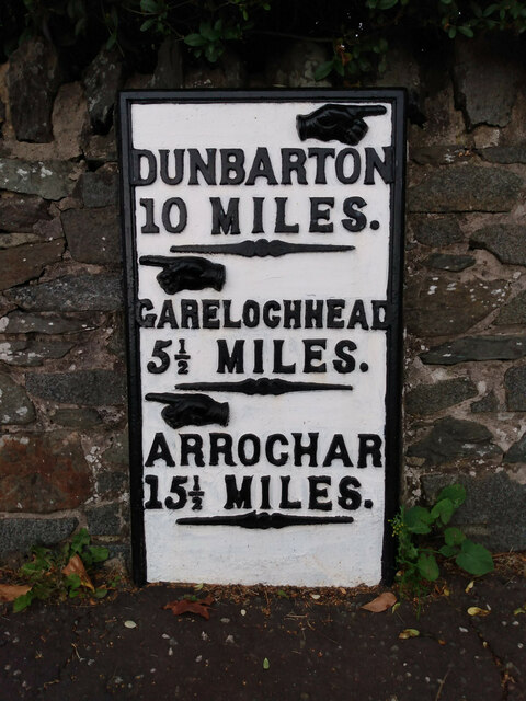
///slugs.instincts.devalued. Near Rosneath, Argyll & Bute
Nearby Locations
Related Wikis

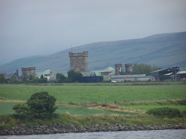
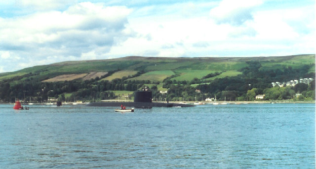
Rosneath naval base
Rosneath naval base was a naval base, constructed on the Rosneath peninsula, Argyll and Bute, Scotland. close to the village of Rosneath. The construction...
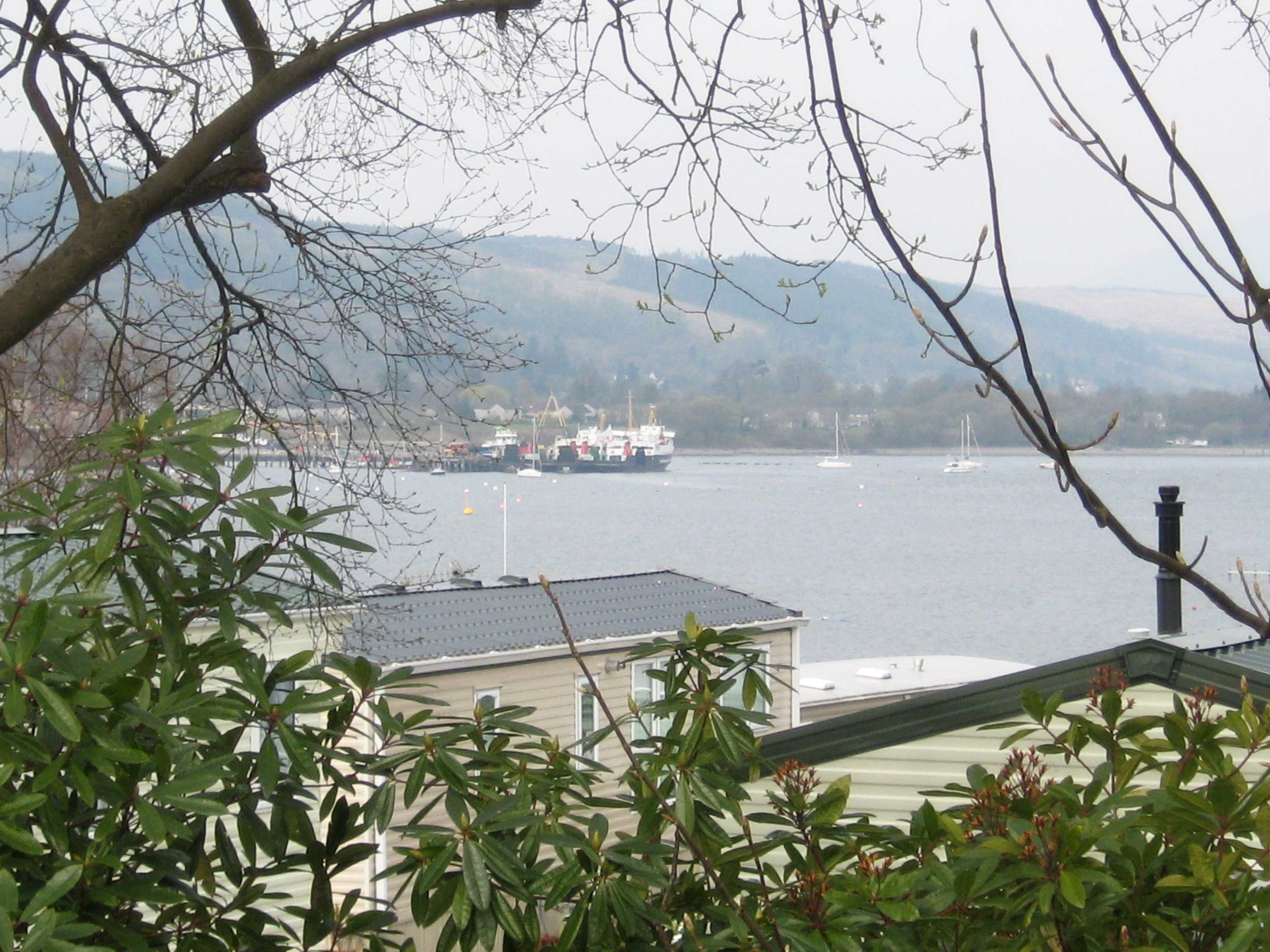
Rosneath
Rosneath (Ros Neimhidh in Gaelic) is a village in Argyll and Bute, Scotland. It sits on the western shore of the Gare Loch, 2 miles (3 kilometres) northwest...
Clynder
Clynder is a place on the western shore of the Gare Loch, Argyll and Bute, Scotland. Historically in the County of Dunbarton, Clynder is one of a string...
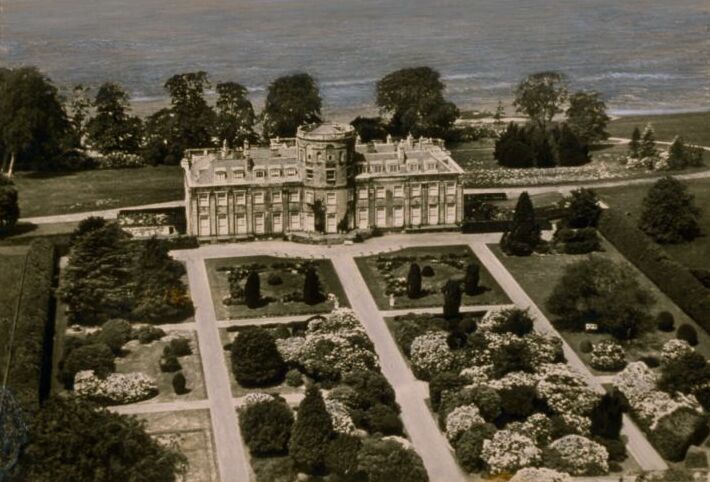
Rosneath House
Rosneath House was a substantial mansion in Dunbartonshire of note both as the home of Princess Louise, Duchess of Argyll and as the military base where...
Nearby Amenities
Located within 500m of 56.007455,-4.801445Have you been to Broom Plantation?
Leave your review of Broom Plantation below (or comments, questions and feedback).