Dail

Wood, Forest in Argyllshire

Scotland

Dail

Three Lochs Way towards Gleann Cúlanach
Three Lochs Way towards Gleann Cúlanach Credit: Ian S

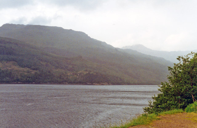
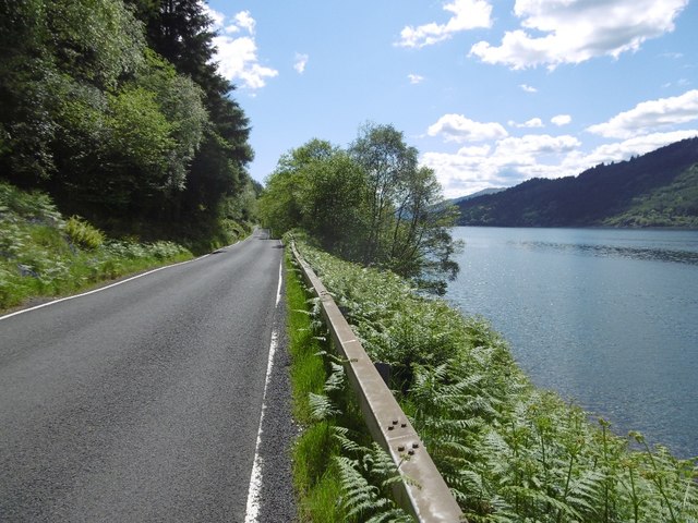
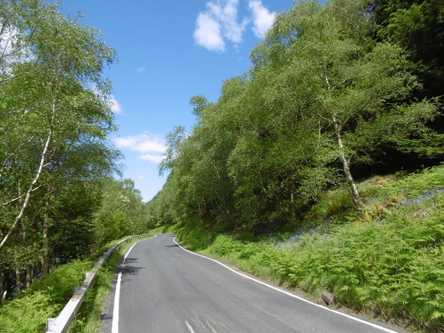
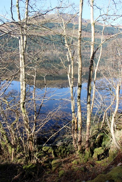
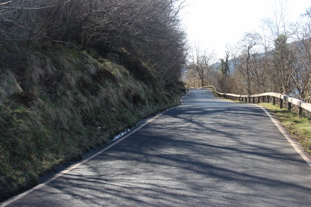
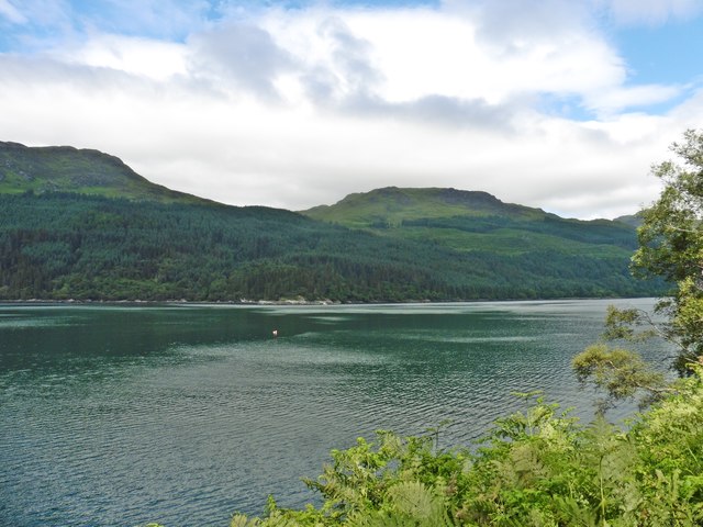
Dail, located in Argyllshire, Scotland, is a picturesque village renowned for its lush woodlands and enchanting forests. Nestled amidst the breathtaking scenery of the Scottish Highlands, Dail is a haven for nature lovers and outdoor enthusiasts.

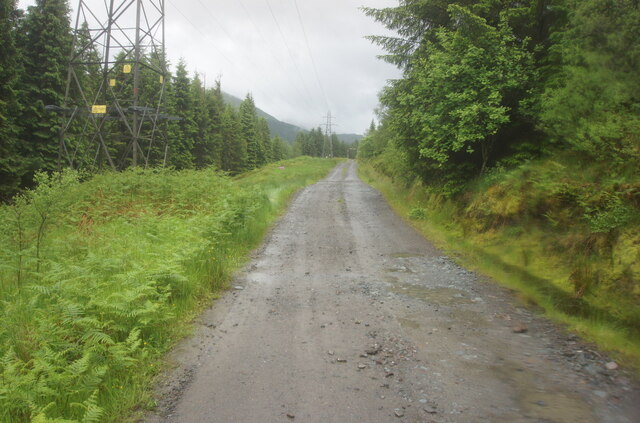
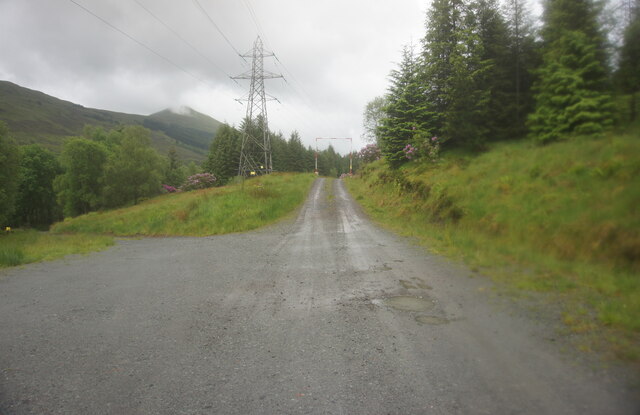
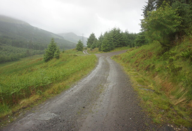
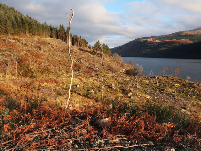
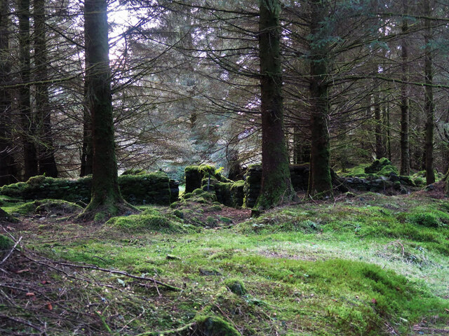
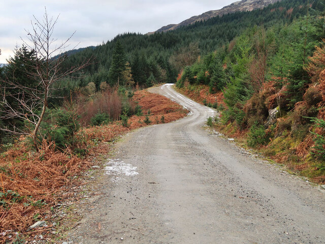
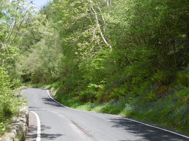
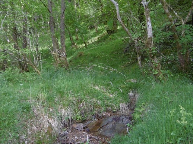
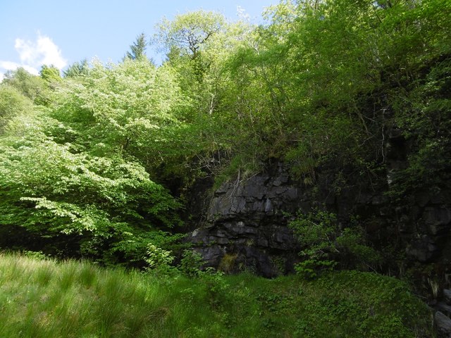
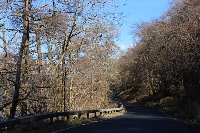
The village is surrounded by an extensive network of woodlands that stretch as far as the eye can see, offering a diverse range of flora and fauna. The dense forests are dominated by towering trees such as oak, birch, and pine, creating a captivating canopy overhead. Walking through the woods, visitors can enjoy the tranquility and serenity of nature, with the only sounds being the rustling leaves and the occasional chirping of birds.

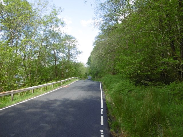
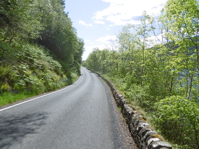
Dail is also home to several hiking trails that wind through the forests, providing opportunities for exploration and adventure. These trails cater to all skill levels, from leisurely strolls to challenging hikes, ensuring that everyone can experience the beauty of the woodlands at their own pace.

In addition to its natural wonders, Dail boasts a rich cultural heritage. The village is dotted with ancient ruins and historical sites, offering glimpses into its intriguing past. Visitors can explore the remnants of old castles and discover the stories that are woven into the fabric of the land.

Overall, Dail, Argyllshire is a captivating destination that seamlessly blends natural beauty with historical charm. Whether it's immersing oneself in the tranquility of the woodlands or uncovering the secrets of the past, Dail offers a truly unforgettable experience for all who venture there.

If you have any feedback on the listing, please let us know in the comments section below.

Dail Images

Images are sourced within 2km of 56.157056/-4.8123955 or Grid Reference NS2599. Thanks to Geograph Open Source API. All images are credited.

Three Lochs Way towards Gleann Cúlanach
Three Lochs Way near Craggan Hill
Felled area of Ardgartan Forest On the side of Loch Long.
Felled area of Ardgartan Forest
On the side of Loch Long.
Moss covered ruins in Ardgartan Forest Marked but not named on old maps, see <span class="nowrap"><a title="https://maps.nls.uk/geo/explore/#zoom=15.8&lat=56.14668&lon=-4.82379&layers=6&b=1" rel="nofollow ugc noopener" href="https://maps.nls.uk/geo/explore/#zoom=15.8&lat=56.14668&lon=-4.82379&layers=6&b=1">Link</a><img style="margin-left:2px;" alt="External link" title="External link - shift click to open in new window" src="https://s1.geograph.org.uk/img/external.png" width="10" height="10"/></span>
Moss covered ruins in Ardgartan Forest
Marked but not named on old maps, see LinkExternal link
Track in Ardgartan Forest
Across Loch Long from A814 south of Ardmay View northward from the A814 towards Arrochar, to The Brack (2,550 ft.) in the Ardgartan Forest; behind is Ben Arthur (The Cobbler) (2,891 ft.).
Across Loch Long from A814 south of Ardmay
View northward from the A814 towards Arrochar, to The Brack (2,550 ft.) in the Ardgartan Forest; behind is Ben Arthur (The Cobbler) (2,891 ft.).
A814, Loch Long Traversing a steep slope at just above sea level.
A814, Loch Long
Traversing a steep slope at just above sea level.
Woodland beside Loch Long View uphill from the A814.
Woodland beside Loch Long
View uphill from the A814.
A814 beneath Craggan Hill Consistently narrow road alongside Loch Long.
A814 beneath Craggan Hill
Consistently narrow road alongside Loch Long.
Quarry at the foot of Craggan Hill A dolerite intrusion has been quarried beside the A814.  The steep hillside above Loch Long is densely wooded.
Quarry at the foot of Craggan Hill
A dolerite intrusion has been quarried beside the A814. The steep hillside above Loch Long is densely wooded.
A814 beneath Craggan Hill The narrow road runs between steep slopes and the shoreline.  The water is deep close to the shore here.
A814 beneath Craggan Hill
The narrow road runs between steep slopes and the shoreline. The water is deep close to the shore here.
A814 beside Loch Long A rare stretch without trees obscuring a view over the loch.
A814 beside Loch Long
A rare stretch without trees obscuring a view over the loch.
A814 beside Loch Long The narrow road is squeezed in between steep slopes and the shore of Loch Long.
A814 beside Loch Long
The narrow road is squeezed in between steep slopes and the shore of Loch Long.
Reflections on Loch Long
A814 to Garelochhead down Loch Long
A814 to Arrochar
A814 to Arrochar
Loch Long
Loch Long
Show me another place!

Dail is located at Grid Ref: NS2599 (Lat: 56.157056, Lng: -4.8123955)

Unitary Authority: Argyll and Bute

Police Authority: Argyll and West Dunbartonshire

What 3 Words

///looms.finger.plums. Near Garelochhead, Argyll & Bute

Nearby Locations

Dail

Related Wikis

Glen Douglas Halt railway station

Glen Douglas Halt railway station was known as Craggan in the line's construction reports, also Glen Douglas Siding, Glen Douglas Platform (Private), Glen...

Cnoc Còinnich

Cnoc Còinnich (Scottish Gaelic, "Mossy Hill") is a Corbett situated in Ardgoil in the Argyll & Bute council region and forms part of the Arrochar Alps...

Glenmallan

Glenmallan is a settlement in Argyll and Bute, Scotland, on the shore of Loch Long. It has a population of under 1000, and its coordinates are latitude...

The Brack

The Brack is a mountain, located in the Arrochar Alps, on the south side of Glen Croe, near Loch Goil in Argyll and Bute in Scotland. The Brack has two...

Nearby Amenities

Located within 500m of 56.157056,-4.8123955
Created By: almien_coastlines
Lat/Long: 56.153698/-4.815937
Created By: almien_coastlines
Lat/Long: 56.153829/-4.815713
Created By: almien_coastlines
Lat/Long: 56.153961/-4.815491
Created By: almien_coastlines
Lat/Long: 56.154476/-4.815285
Created By: almien_coastlines
Lat/Long: 56.154489/-4.814368
Created By: almien_coastlines
Lat/Long: 56.155257/-4.814404
Created By: almien_coastlines
Lat/Long: 56.155271/-4.813487
Created By: almien_coastlines
Lat/Long: 56.155786/-4.813282
Created By: almien_coastlines
Lat/Long: 56.156301/-4.813076
Created By: almien_coastlines
Lat/Long: 56.156442/-4.812165
Created By: almien_coastlines
Lat/Long: 56.157099/-4.81105
Created By: almien_coastlines
Lat/Long: 56.157871/-4.810856
Created By: almien_coastlines
Lat/Long: 56.158012/-4.809945
Created By: almien_coastlines
Lat/Long: 56.158143/-4.809722
Created By: almien_coastlines
Lat/Long: 56.158662/-4.809288
Created By: almien_coastlines
Lat/Long: 56.15945/-4.807948
Created By: almien_coastlines
Lat/Long: 56.160218/-4.807984
Created By: almien_coastlines
Lat/Long: 56.16047/-4.808224
Created By: almien_coastlines
Lat/Long: 56.160484/-4.807307
The data included in this document is from www.openstreetmap.org. The data is made available under ODbL.

Have you been to Dail?

Leave your review of Dail below (or comments, questions and feedback).