Mochrum Wood

Wood, Forest in Ayrshire

Scotland

Mochrum Wood

Culzean Castle Robert Adam redesigned the castle for the Earl of Cassillis between 1777 and 1792. Notable features include the Oval Staircase.
Culzean Castle Credit: Anne Burgess

The requested URL returned error: 429 Too Many Requests

If you have any feedback on the listing, please let us know in the comments section below.
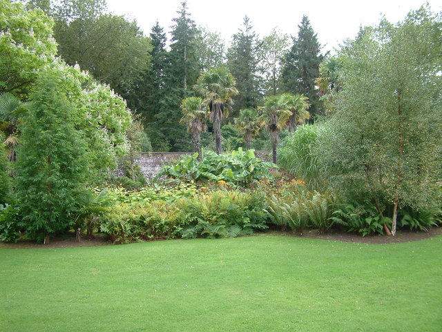
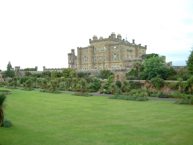
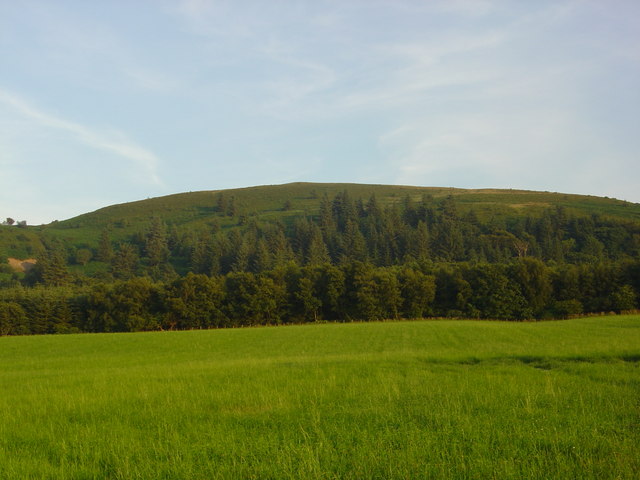
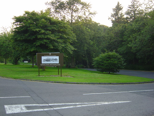
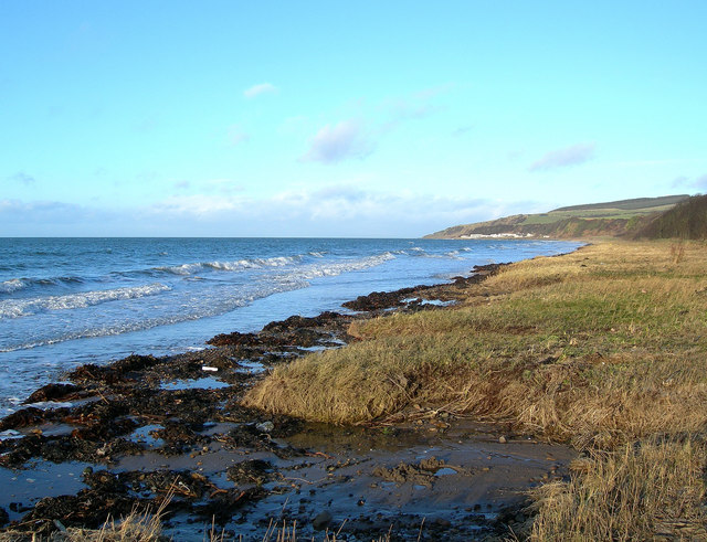
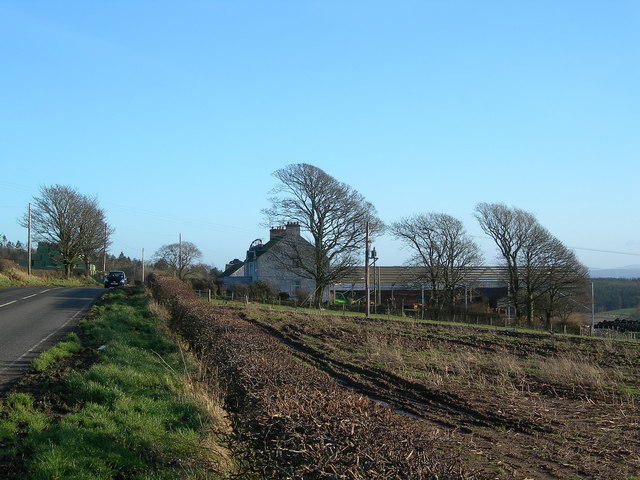
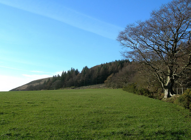
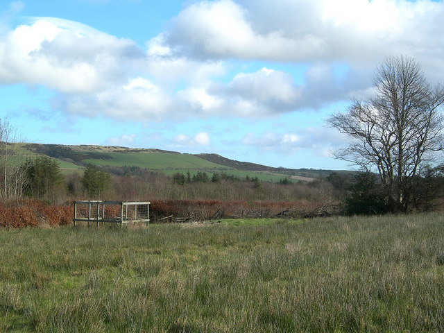
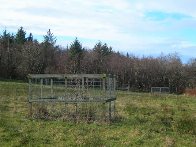
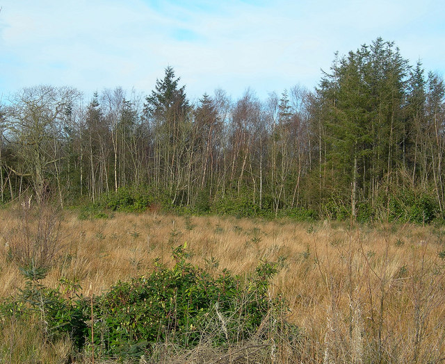
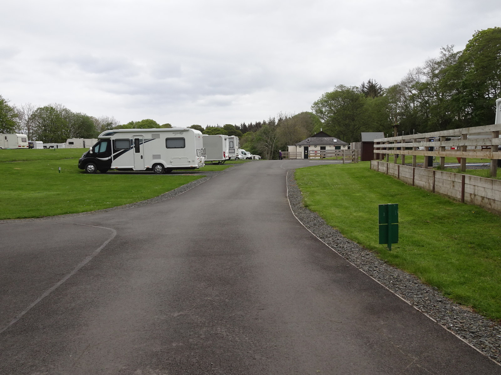
Mochrum Wood Images

Images are sourced within 2km of 55.356177/-4.7549539 or Grid Reference NS2510. Thanks to Geograph Open Source API. All images are credited.

Culzean Castle Robert Adam redesigned the castle for the Earl of Cassillis between 1777 and 1792. Notable features include the Oval Staircase.
Culzean Castle
Robert Adam redesigned the castle for the Earl of Cassillis between 1777 and 1792. Notable features include the Oval Staircase.
Culzean The Walled Garden
Culzean
The Walled Garden
Culzean Castle
Culzean Castle
Culzean Castle - Garden
Culzean Castle
Culzean Castle
Mochrum Wood
Mochrum Wood
Entrance to Culzean Castle and Country Park.
Culzean and Mochrum Hill Culzean Castle with Mochrum Hill in background, taken from PS Waverley
Culzean and Mochrum Hill
Culzean Castle with Mochrum Hill in background, taken from PS Waverley
Cave beneath Culzean Castle
Above Croy Bay Looking north towards Knoweside Hill.  On the left, the pillars of the old viaduct reveal the route of the former coastal railway, known locally as "the Tattie Line".  The Ayrshire coast is still famous for its early potatoes.
Above Croy Bay
Looking north towards Knoweside Hill. On the left, the pillars of the old viaduct reveal the route of the former coastal railway, known locally as "the Tattie Line". The Ayrshire coast is still famous for its early potatoes.
Old Tattie Field Ayrshire is famous for its coastal crops of early potatoes, grown on sandy soils which warm up quickly in spring.  This photo shows Castlehill Farm on the far right.
Old Tattie Field
Ayrshire is famous for its coastal crops of early potatoes, grown on sandy soils which warm up quickly in spring. This photo shows Castlehill Farm on the far right.
Maybole Shore Looking north from Goat's Green, along the part of Culzean Bay known locally as "Maybole shore", with Croyburnfoot Caravan Site in the distance. For a view showing a different time of year with the tide well out, see <a href="https://www.geograph.org.uk/photo/4990543">NS2411 : Maybole Shore View</a>
Maybole Shore
Looking north from Goat's Green, along the part of Culzean Bay known locally as "Maybole shore", with Croyburnfoot Caravan Site in the distance. For a view showing a different time of year with the tide well out, see NS2411 : Maybole Shore View
Humeston Farm The wind-shaped trees indicate the typical weather conditions and show the direction of the prevailing wind. For a late-spring view, see <a href="https://www.geograph.org.uk/photo/4990650">NS2611 : Humeston Farmland</a>.
Humeston Farm
The wind-shaped trees indicate the typical weather conditions and show the direction of the prevailing wind. For a late-spring view, see NS2611 : Humeston Farmland.
The Southern Edge of Mochrum Hill The southern edge of Mochrum Hill, viewed from the Mochrum Farm track.  The hill is an old volcanic plug.
The Southern Edge of Mochrum Hill
The southern edge of Mochrum Hill, viewed from the Mochrum Farm track. The hill is an old volcanic plug.
From Mochrum Wood Looking towards the northern part of the Carrick Hills.
From Mochrum Wood
Looking towards the northern part of the Carrick Hills.
New Trees Young hardwood trees, protected from grazing deer.
New Trees
Young hardwood trees, protected from grazing deer.
New Plantation
New Plantation
Show me another place!

Mochrum Wood is located at Grid Ref: NS2510 (Lat: 55.356177, Lng: -4.7549539)

Unitary Authority: South Ayrshire

Police Authority: Ayrshire

What 3 Words

///informer.ombudsman.louder. Near Maybole, South Ayrshire

Nearby Locations

Mochrum Wood

Related Wikis

Balchriston Level Crossing Halt railway station

Balchriston Level Crossing Halt was a railway halt near Culzean Castle, South Ayrshire, Scotland. The halt was part of the Maidens and Dunure Light Railway...

Glenside railway station

Glenside railway station was a railway station near Culzean Castle, South Ayrshire, Scotland. The station was part of the Maidens and Dunure Light Railway...

Thomaston Castle

Thomaston Castle is a medieval castle located west of Maybole, South Ayrshire, Scotland. It looks much as it did hundreds of years ago. Little has changed...
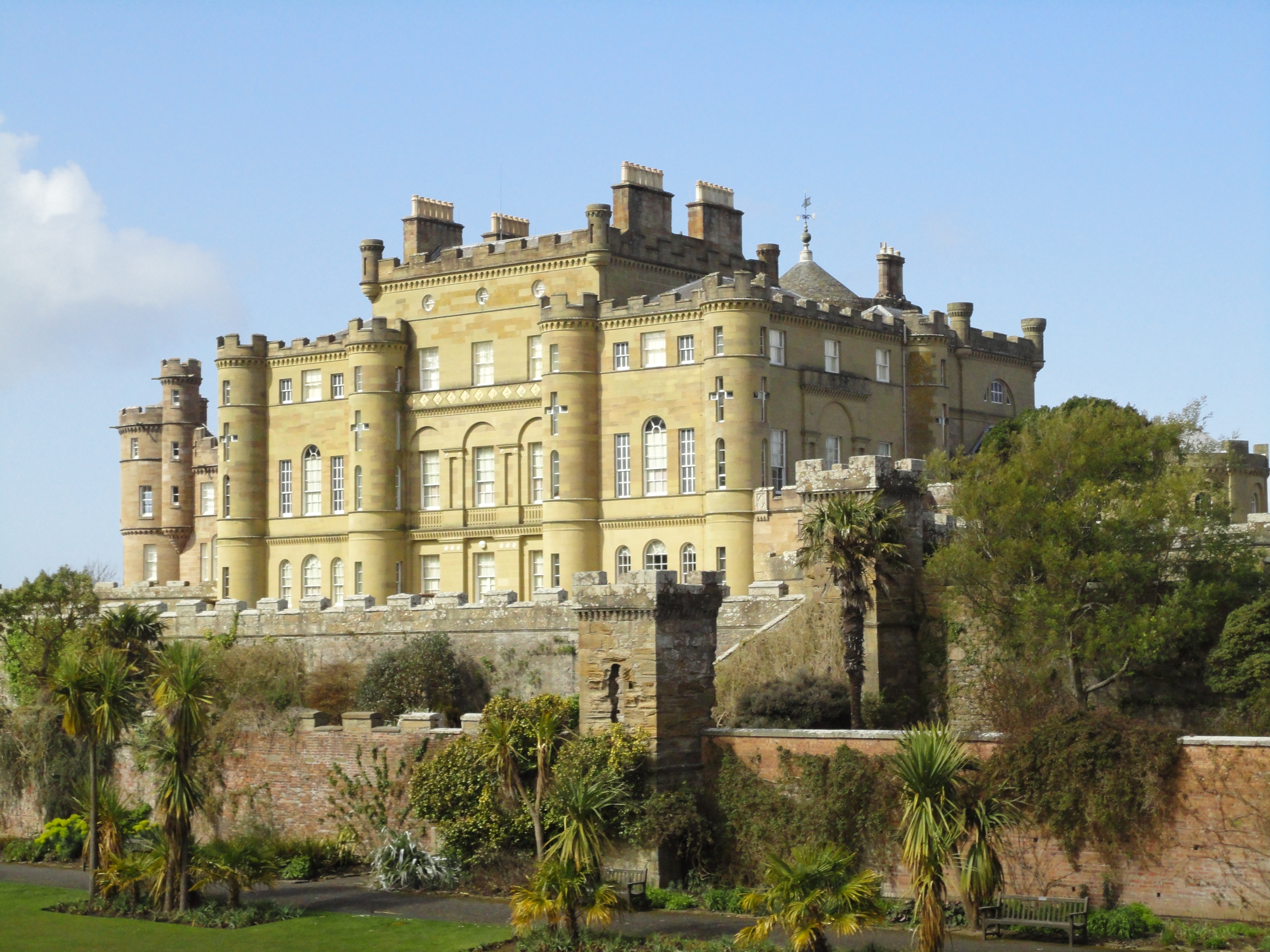
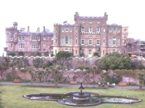
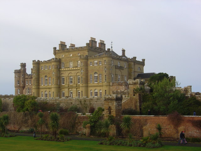
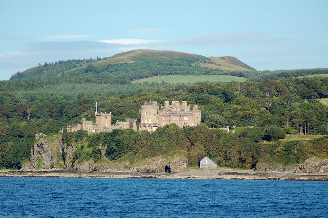
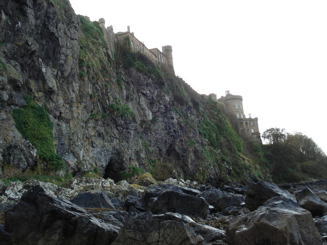
Culzean Castle

Culzean Castle ( kul-AYN, see yogh; Scots: Cullain) is a castle overlooking the Firth of Clyde, near Maybole, Carrick, in South Ayrshire, on the west coast...

Nearby Amenities

Located within 500m of 55.356177,-4.7549539
The data included in this document is from www.openstreetmap.org. The data is made available under ODbL.

Have you been to Mochrum Wood?

Leave your review of Mochrum Wood below (or comments, questions and feedback).