Clachan Glen
Valley in Dunbartonshire
Scotland
Clachan Glen
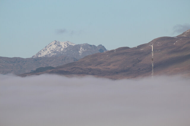
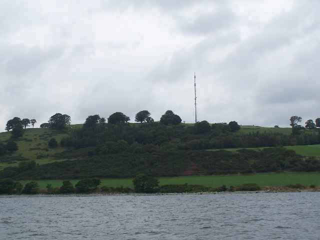
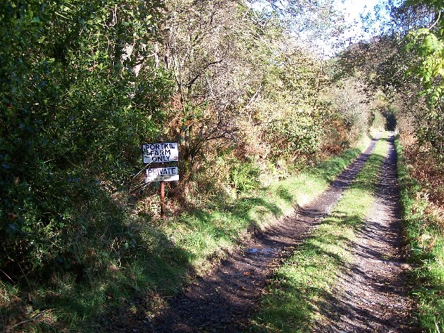
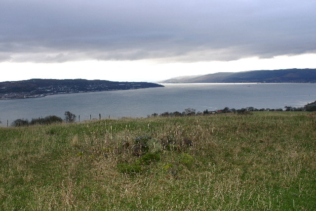
Clachan Glen, situated in Dunbartonshire, Scotland, is a picturesque valley renowned for its stunning natural beauty and rich historical significance. Nestled amidst the rolling hills and lush greenery, the glen is located approximately 10 miles north of the town of Helensburgh.
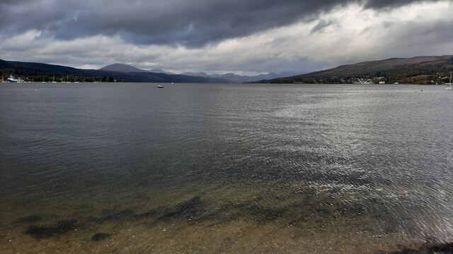
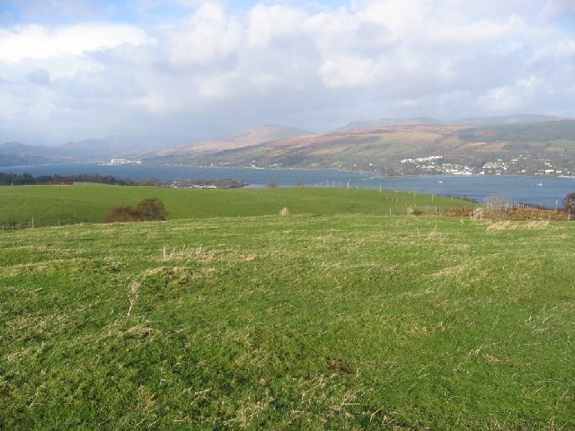
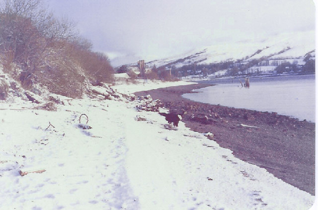
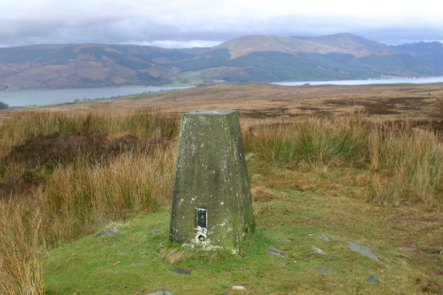
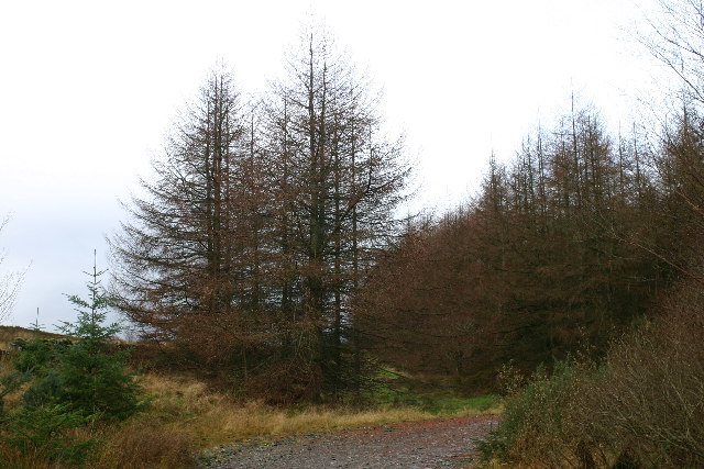
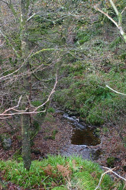
The valley is a haven for nature enthusiasts, offering breathtaking views of cascading waterfalls, ancient woodlands, and dramatic cliffs. The meandering Clachan Burn river runs through the glen, adding to its charm and tranquility. The diverse flora and fauna found here make it an ideal destination for hikers, birdwatchers, and photographers.
In addition to its natural allure, Clachan Glen holds a significant place in Scottish history. The remnants of an ancient fort, believed to have been built during the Iron Age, can be found within the glen. This fort served as a strategic stronghold and played a crucial role in the region's defense against invading forces.
Visitors to Clachan Glen can explore the many walking trails that wind through the valley, offering a chance to immerse themselves in the peaceful ambiance and discover the area's hidden treasures. The glen's proximity to Loch Lomond and The Trossachs National Park also provides opportunities for further exploration and outdoor activities.
Overall, Clachan Glen offers a unique blend of natural beauty and historical significance, making it a popular destination for those seeking solace amidst Scotland's stunning landscapes and a glimpse into the country's ancient past.
If you have any feedback on the listing, please let us know in the comments section below.
Clachan Glen Images
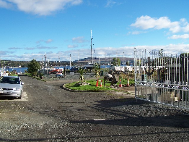
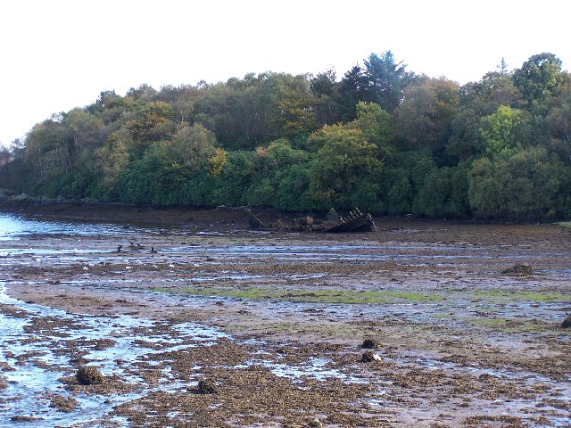
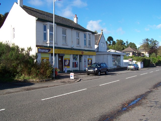
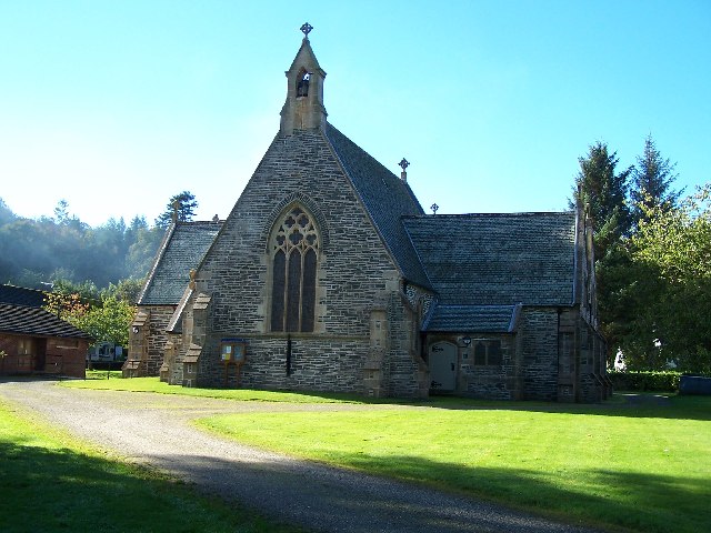
Images are sourced within 2km of 56.004295/-4.807617 or Grid Reference NS2582. Thanks to Geograph Open Source API. All images are credited.
Clachan Glen is located at Grid Ref: NS2582 (Lat: 56.004295, Lng: -4.807617)
Unitary Authority: Argyll and Bute
Police Authority: Argyll and West Dunbartonshire
What 3 Words
///depended.mouse.highlight. Near Rosneath, Argyll & Bute
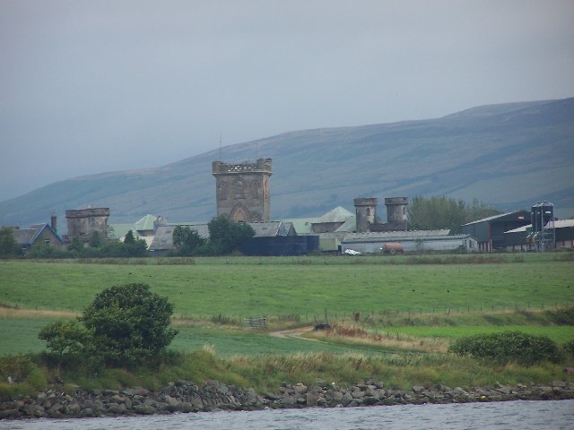
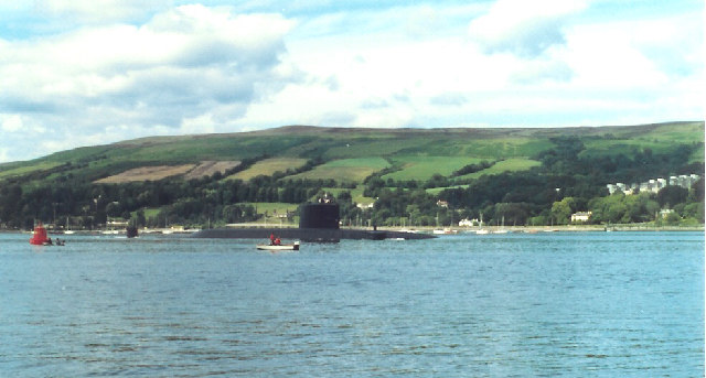
Nearby Locations
Related Wikis
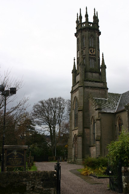
Rosneath
Rosneath (Ros Neimhidh in Gaelic) is a village in Argyll and Bute, Scotland. It sits on the western shore of the Gare Loch, 2 miles (3 kilometres) northwest...

Rosneath naval base
Rosneath naval base was a naval base, constructed on the Rosneath peninsula, Argyll and Bute, Scotland. close to the village of Rosneath. The construction...
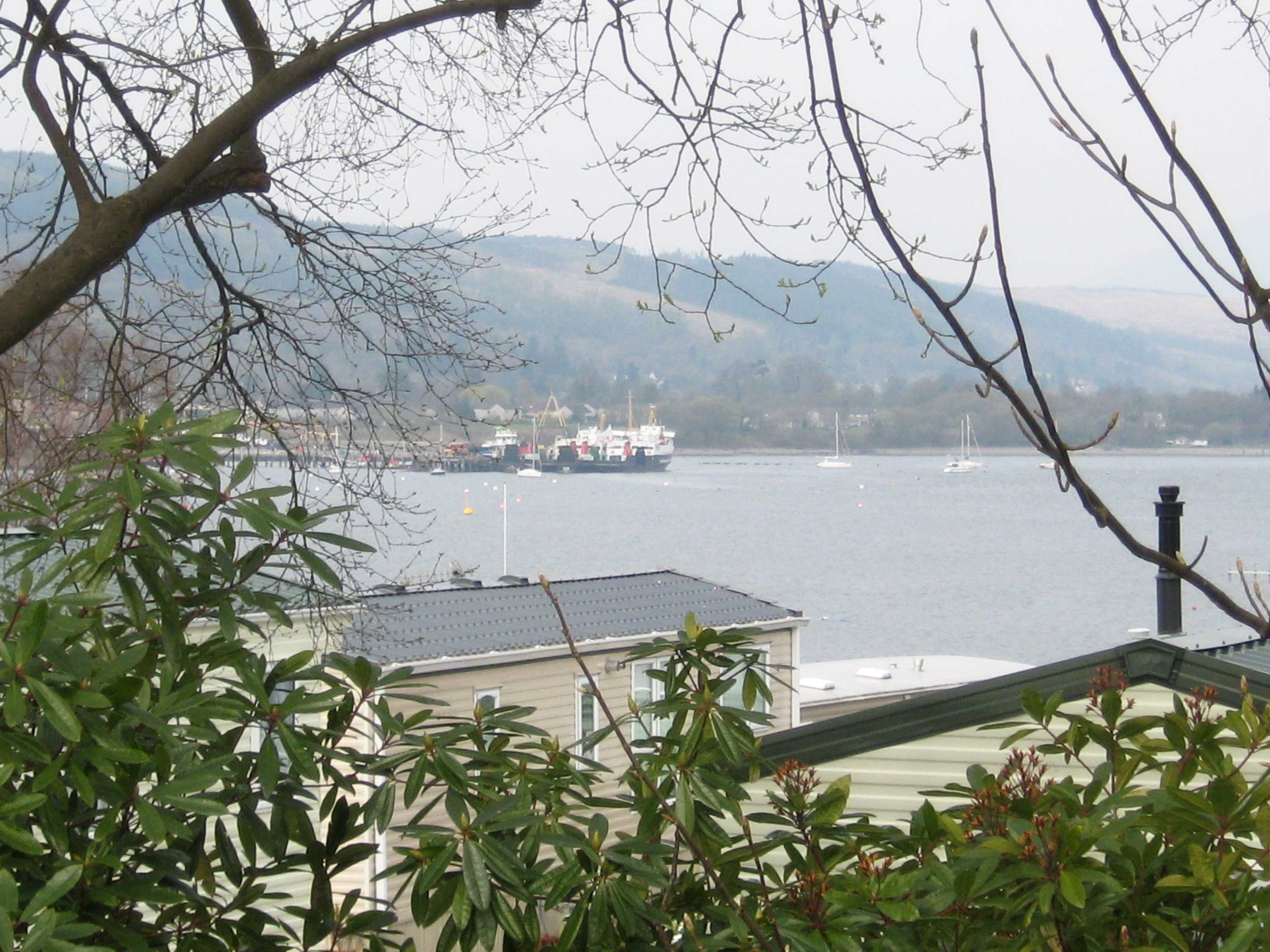
Clynder
Clynder is a place on the western shore of the Gare Loch, Argyll and Bute, Scotland. Historically in the County of Dunbarton, Clynder is one of a string...

Lindowan Reservoir
Lindowan Reservoir is of the impounding variety, located 1 kilometre north of Kilcreggan. It used to be the main source of water for a nearby threshing...
Nearby Amenities
Located within 500m of 56.004295,-4.807617Have you been to Clachan Glen?
Leave your review of Clachan Glen below (or comments, questions and feedback).