Camsail Wood
Wood, Forest in Dunbartonshire
Scotland
Camsail Wood
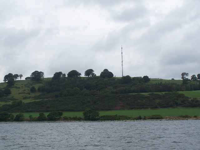
Camsail Wood, located in Dunbartonshire, Scotland, is a charming woodland area that covers approximately 100 acres. It is nestled in the picturesque setting of the Loch Lomond and The Trossachs National Park, offering visitors a tranquil and scenic retreat.
The wood is primarily composed of ancient oak trees, with a diverse range of other tree species such as birch and rowan also present. This mix of trees creates a rich and varied ecosystem, providing a habitat for numerous wildlife species, including deer, squirrels, and a variety of bird species.
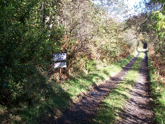
A network of well-maintained footpaths wind through the wood, allowing visitors to explore and enjoy its natural beauty at their own pace. The paths are suitable for all levels of walkers, making it accessible to families and individuals of all ages and abilities.
Camsail Wood is popular among nature enthusiasts, photographers, and those seeking a peaceful retreat from the bustling city life. The wood offers breathtaking views of the surrounding countryside and the nearby Loch Lomond, making it an ideal spot for picnics or simply taking in the stunning scenery.
The wood is well-preserved and cared for by local authorities, ensuring its continued natural beauty for future generations to enjoy. Visitors are reminded to respect the environment and follow any guidelines or regulations in place to protect the flora and fauna within the wood.
Overall, Camsail Wood in Dunbartonshire is a haven for nature lovers, providing a serene and enchanting experience amidst the Scottish countryside.
If you have any feedback on the listing, please let us know in the comments section below.
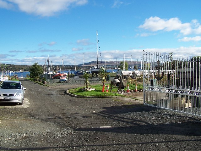
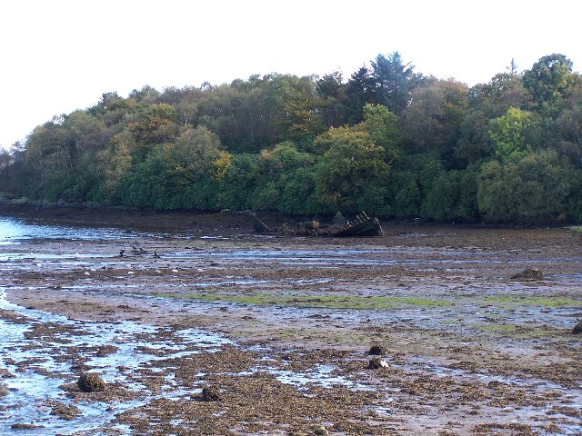
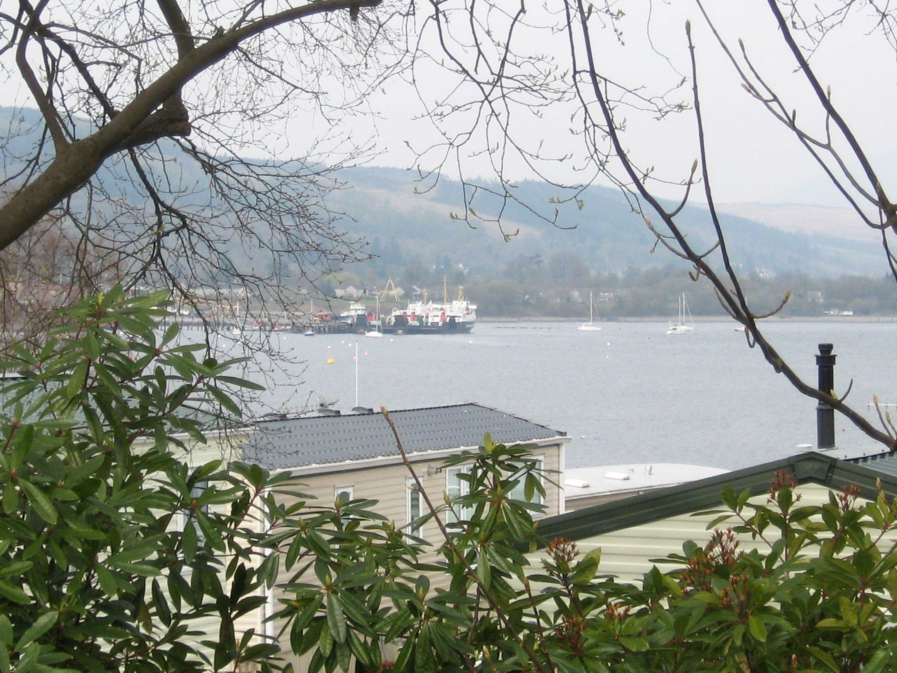
Camsail Wood Images
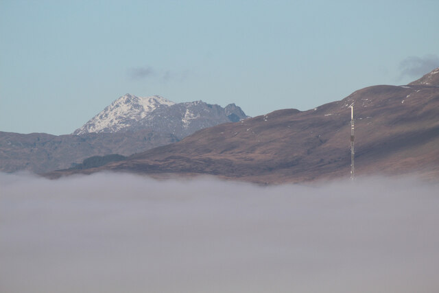
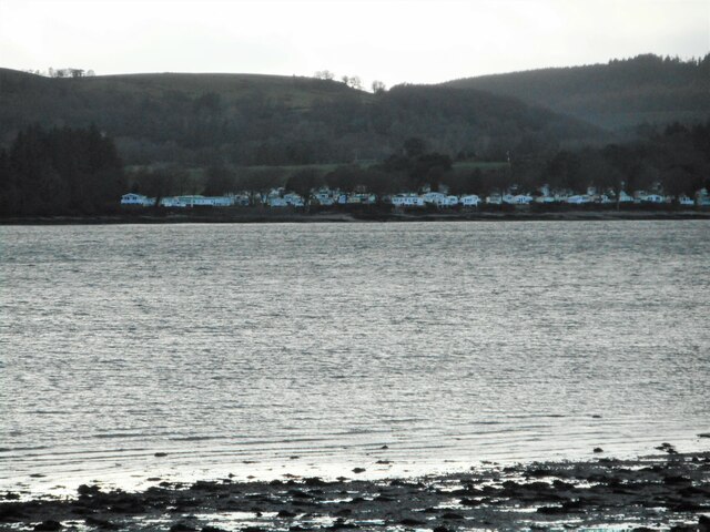
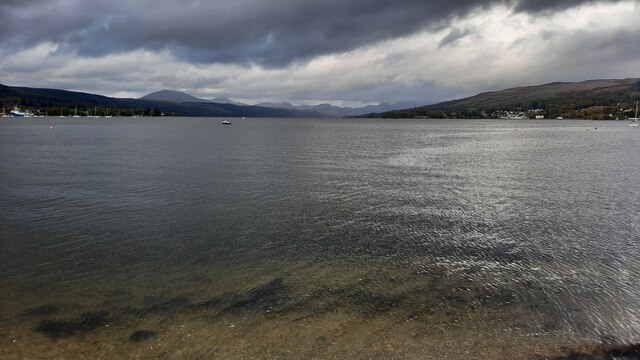
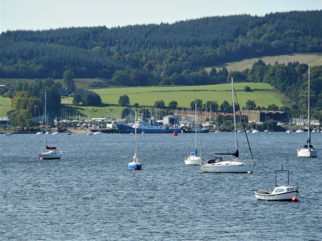
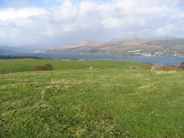
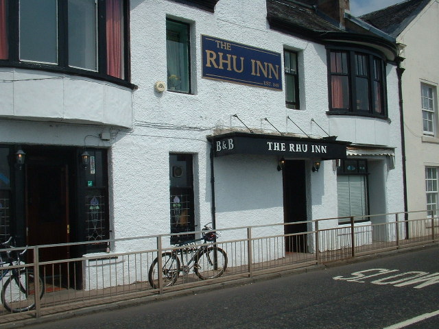
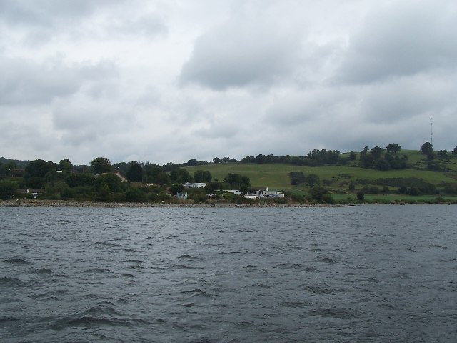
Images are sourced within 2km of 56.001508/-4.7969559 or Grid Reference NS2582. Thanks to Geograph Open Source API. All images are credited.


Camsail Wood is located at Grid Ref: NS2582 (Lat: 56.001508, Lng: -4.7969559)
Unitary Authority: Argyll and Bute
Police Authority: Argyll and West Dunbartonshire
What 3 Words
///scooped.parading.also. Near Rosneath, Argyll & Bute
Nearby Locations
Related Wikis

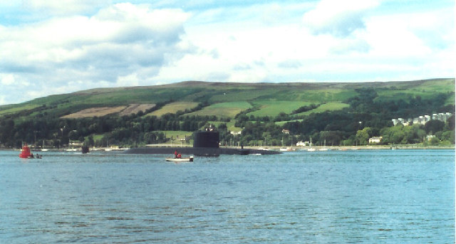
Rosneath naval base
Rosneath naval base was a naval base, constructed on the Rosneath peninsula, Argyll and Bute, Scotland. close to the village of Rosneath. The construction...
Rosneath
Rosneath (Ros Neimhidh in Gaelic) is a village in Argyll and Bute, Scotland. It sits on the western shore of the Gare Loch, 2 miles (3 kilometres) northwest...
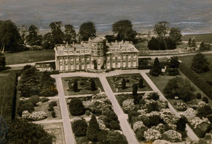
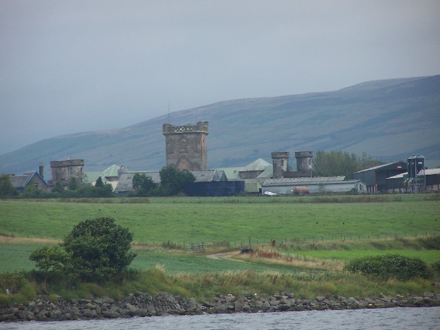
Rosneath House
Rosneath House was a substantial mansion in Dunbartonshire of note both as the home of Princess Louise, Duchess of Argyll and as the military base where...

Lindowan Reservoir
Lindowan Reservoir is of the impounding variety, located 1 kilometre north of Kilcreggan. It used to be the main source of water for a nearby threshing...
Nearby Amenities
Located within 500m of 56.001508,-4.7969559Have you been to Camsail Wood?
Leave your review of Camsail Wood below (or comments, questions and feedback).