Meadow Park Glen Plantation
Wood, Forest in Ayrshire
Scotland
Meadow Park Glen Plantation
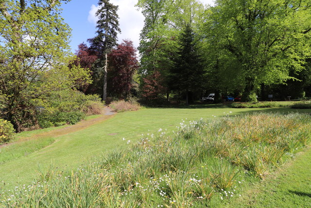
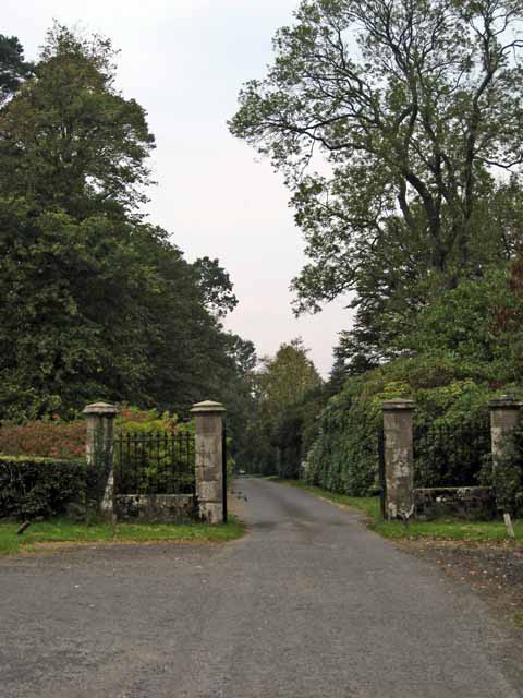
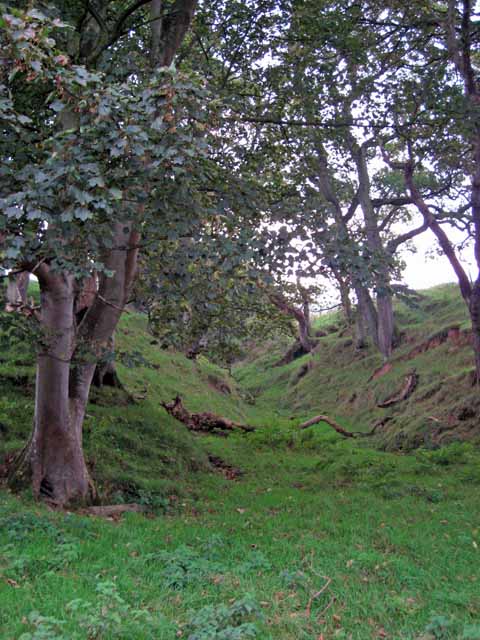
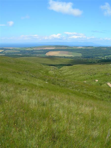
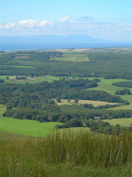
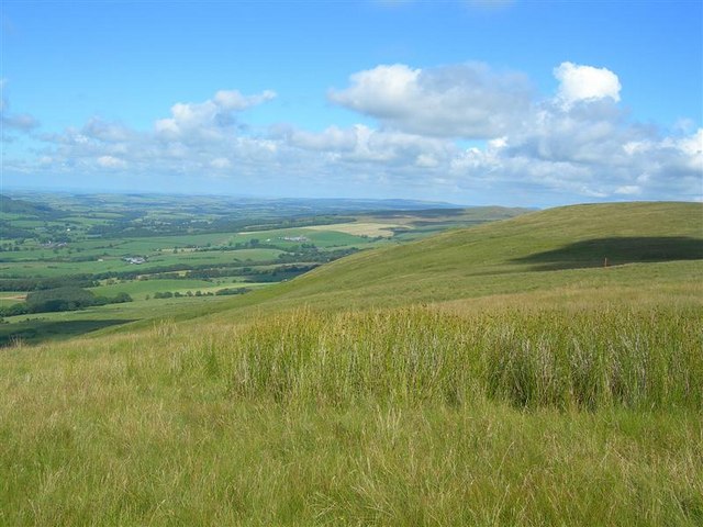
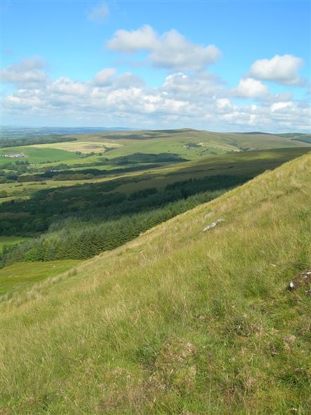
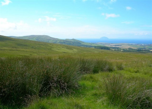
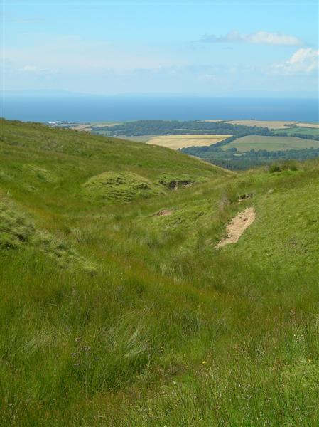
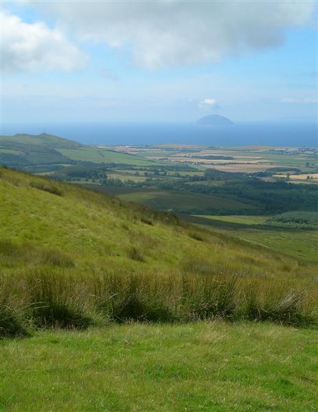
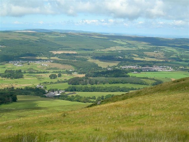
Meadow Park Glen Plantation is a picturesque woodland located in Ayrshire, Scotland. Spanning over an expansive area, the plantation is known for its dense and diverse forest cover, making it a popular destination for nature enthusiasts and hikers.
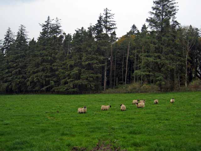
The woodland is predominantly composed of a variety of trees, including oak, beech, and pine, which create a vibrant and colorful landscape throughout the year. The rich biodiversity of the plantation attracts a wide range of wildlife, including numerous bird species, squirrels, and deer, making it a haven for animal lovers and bird watchers.
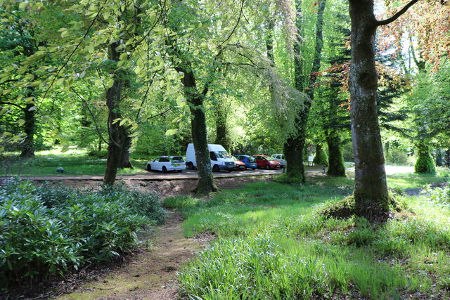
Visitors can explore the plantation through a network of well-maintained walking trails that wind their way through the forest. These trails offer a chance to immerse oneself in the tranquility of nature, providing breathtaking views of the surrounding countryside and glimpses of wildlife along the way.
Meadow Park Glen Plantation also boasts a number of picnic areas, allowing visitors to relax and enjoy a meal amidst the natural beauty of the woodland. Additionally, educational activities and guided tours are available, providing visitors with the opportunity to learn more about the flora and fauna found in the area.
The plantation is open to the public year-round, with different seasons showcasing their own unique charm. Whether it's the vibrant colors of autumn, the fresh blooms of spring, or the snow-covered trees in winter, Meadow Park Glen Plantation offers a captivating experience for all nature lovers.
If you have any feedback on the listing, please let us know in the comments section below.
Meadow Park Glen Plantation Images
Images are sourced within 2km of 55.263516/-4.7449124 or Grid Reference NS2500. Thanks to Geograph Open Source API. All images are credited.
Meadow Park Glen Plantation is located at Grid Ref: NS2500 (Lat: 55.263516, Lng: -4.7449124)
Unitary Authority: South Ayrshire
Police Authority: Ayrshire
What 3 Words
///tiny.audibly.protrude. Near Girvan, South Ayrshire
Nearby Locations
Related Wikis
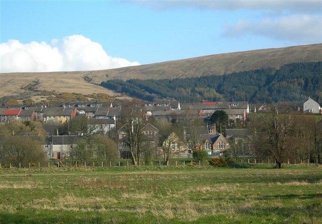
Dailly
Dailly (Scottish Gaelic: Dail Mhaol Chiarain) is a village in South Ayrshire, Scotland. It is located on the Water of Girvan, five miles (eight kilometres...

Dailly railway station
Dailly railway station served the village of Dailly, South Ayrshire, Scotland, from 1860 to 1965 on the Maybole and Girvan Railway. == History == The station...

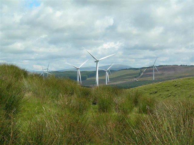
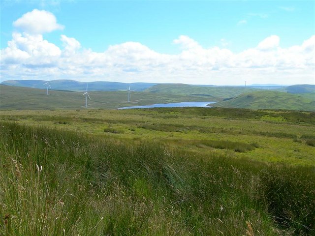
Hadyard Hill Wind Farm
Hadyard Hill Wind Farm is located in Carrick district of South Ayrshire. Costing £85 million, the wind farm consists of 52 three-bladed Siemens wind turbines...

Dalquharran Castle
Dalquharran Castle is a category A listed building in South Ayrshire, Scotland, designed by Robert Adam and completed around 1790. The first recorded lord...
Nearby Amenities
Located within 500m of 55.263516,-4.7449124Have you been to Meadow Park Glen Plantation?
Leave your review of Meadow Park Glen Plantation below (or comments, questions and feedback).