Jubilee Plantation

Wood, Forest in Ayrshire

Scotland

Jubilee Plantation

Old mine shaft at Hawkhill Farm A closer look at the old mine shaft at Hawkhill Farm. Killochan Castle is shown in the background on the other side of the Water of Girvan. The top of the strange boulder <a href="https://www.geograph.org.uk/photo/7024967">NS2300 : The strange boulder at Hawkhill Farm</a> is just visible on the left.
Old mine shaft at Hawkhill Farm Credit: Mary and Angus Hogg

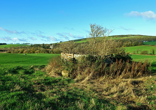
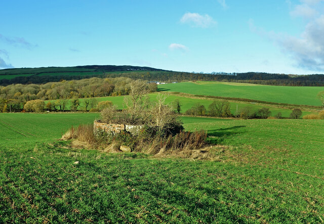
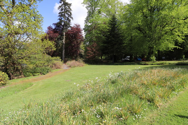
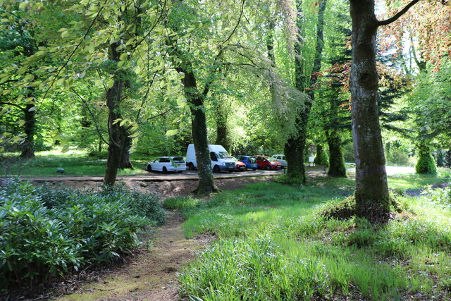
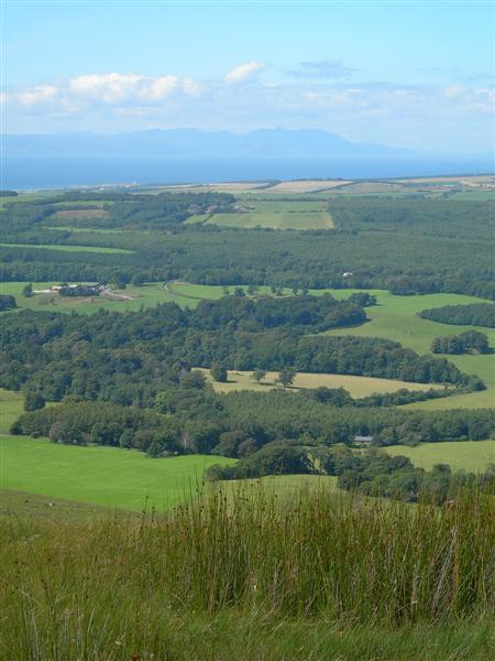
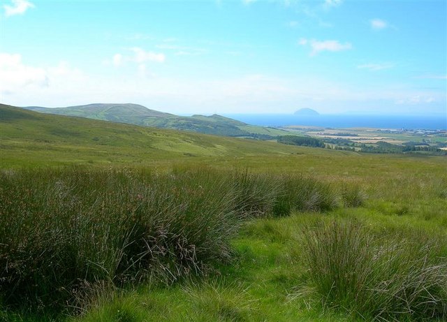
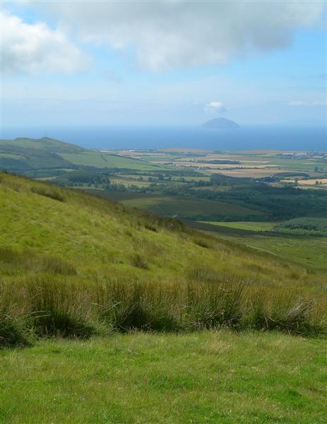
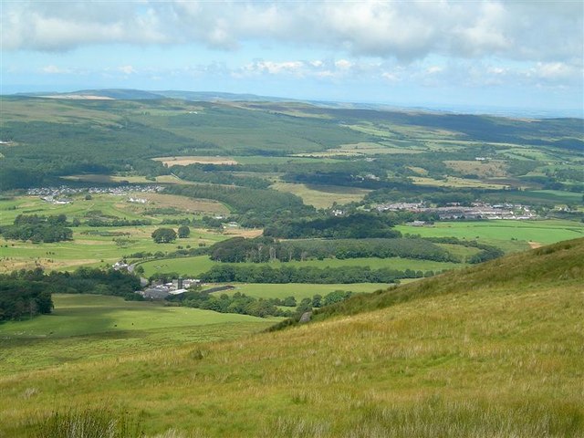
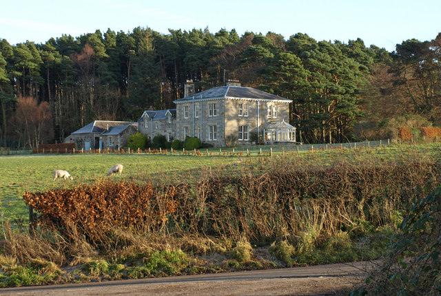
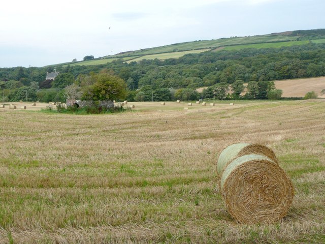
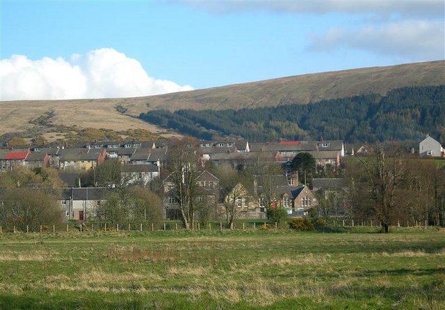
Jubilee Plantation, located in Ayrshire, Scotland, is a remarkable wood and forest area spreading over a vast expanse. The plantation is situated in close proximity to the town of Ayr and covers an area of approximately 2,000 hectares. It is renowned for its stunning natural beauty and serves as a popular recreational spot for locals and tourists alike.

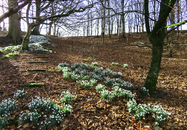
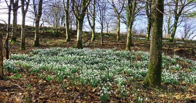
The plantation boasts a diverse range of tree species, including Scots pine, oak, beech, and birch, among others. These trees create a rich and varied ecosystem that supports a wide array of flora and fauna. Visitors can witness the splendor of the woodland as they explore its numerous trails and pathways.

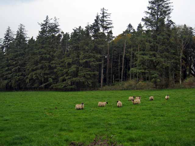
Jubilee Plantation is home to an abundance of wildlife. The forest teems with various bird species, such as woodpeckers, owls, and finches, providing a haven for birdwatchers. Additionally, the plantation is inhabited by mammals like red squirrels and deer, further enhancing its ecological significance.

The woodland offers a tranquil escape for nature enthusiasts, with its serene atmosphere and picturesque landscapes. Visitors can engage in activities such as walking, hiking, and cycling while immersing themselves in the beauty of the natural surroundings. The plantation also provides designated picnic areas and camping spots, allowing individuals to fully appreciate the peaceful ambiance.

Jubilee Plantation serves as an important conservation area, protecting and preserving the native flora and fauna of the region. It exemplifies the natural wonders of Ayrshire and stands as a testament to Scotland's commitment to environmental conservation.

If you have any feedback on the listing, please let us know in the comments section below.

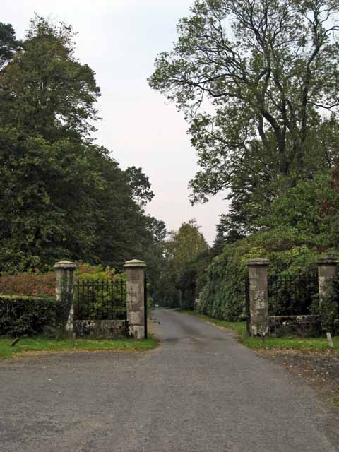
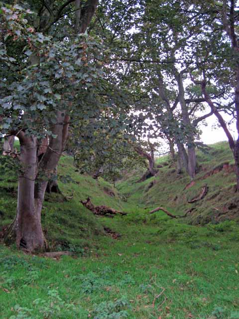
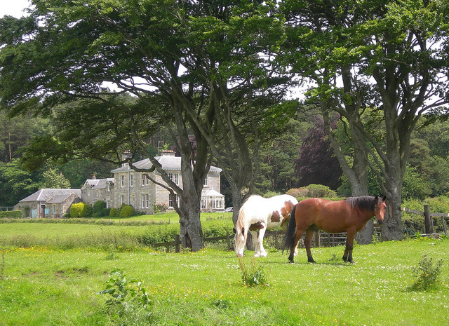
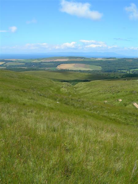
Jubilee Plantation Images

Images are sourced within 2km of 55.269756/-4.75723 or Grid Reference NS2400. Thanks to Geograph Open Source API. All images are credited.

Old mine shaft at Hawkhill Farm A closer look at the old mine shaft at Hawkhill Farm. Killochan Castle is shown in the background on the other side of the Water of Girvan. The top of the strange boulder <a href="https://www.geograph.org.uk/photo/7024967">NS2300 : The strange boulder at Hawkhill Farm</a> is just visible on the left.
Old mine shaft at Hawkhill Farm
A closer look at the old mine shaft at Hawkhill Farm. Killochan Castle is shown in the background on the other side of the Water of Girvan. The top of the strange boulder NS2300 : The strange boulder at Hawkhill Farm is just visible on the left.
The old mine shaft at Hawkhill Farm The strange circular structure in the field at Hawkhill Farm is a shaft from an old coal mine, walled off for protection. The main part of the mine was on the other side of the road on Bargany Estate. See <a href="https://www.geograph.org.uk/photo/6783144">NX2399 : Old colliery site near Lovestone</a>
The old mine shaft at Hawkhill Farm
The strange circular structure in the field at Hawkhill Farm is a shaft from an old coal mine, walled off for protection. The main part of the mine was on the other side of the road on Bargany Estate. See NX2399 : Old colliery site near Lovestone
Snowdrops in Lovestone woods My previous visit to this site in March 2021 was too late to see the flowers in bloom. The snowdrops were lovely this time though the February sun was only just reaching the slope.
Snowdrops in Lovestone woods
My previous visit to this site in March 2021 was too late to see the flowers in bloom. The snowdrops were lovely this time though the February sun was only just reaching the slope.
Snowdrops near Lovestone These snowdrops were spreading out in the woodland near the old colliery site. My previous visit to this spot <a href="https://www.geograph.org.uk/photo/6783144">NX2399 : Old colliery site near Lovestone</a> was too late to see the flowers in bloom. It was worth the return visit.
Snowdrops near Lovestone
These snowdrops were spreading out in the woodland near the old colliery site. My previous visit to this spot NX2399 : Old colliery site near Lovestone was too late to see the flowers in bloom. It was worth the return visit.
Picnic Area, Bargany Gardens Beautiful Garden but only open for the Month of May.
Picnic Area, Bargany Gardens
Beautiful Garden but only open for the Month of May.
Car Park, Bargany Gardens This is the main car park but there is also and overflow car park. Beautiful Garden but only open for the Month of May.
Car Park, Bargany Gardens
This is the main car park but there is also and overflow car park. Beautiful Garden but only open for the Month of May.
Bargany Estate, near Old Dailly The tall trees line the southern driveway into the estate.
Bargany Estate, near Old Dailly
The tall trees line the southern driveway into the estate.
Cattle troughs near Dailly
Gateway to the Bargany Estate Off the Dailly to Old Dailly road.
Gateway to the Bargany Estate
Off the Dailly to Old Dailly road.
Small wooded valley near Dailly
Lovestone House Formerly living accommodation for workers on Bargany Estate.
Now a private house.
Lovestone House
Formerly living accommodation for workers on Bargany Estate. Now a private house.
Moorland burn Looking down Lauchlan Burn, across the Girvan Valley, towards the Firth of Clyde and Arran.
Moorland burn
Looking down Lauchlan Burn, across the Girvan Valley, towards the Firth of Clyde and Arran.
View From Maxwellston Hill Looking across the lower Girvan Valley, towards the Firth of Clyde and Arran, on a fine July afternoon.
View From Maxwellston Hill
Looking across the lower Girvan Valley, towards the Firth of Clyde and Arran, on a fine July afternoon.
Clyde View Looking towards the Firth of Clyde and Ailsa Craig from the western slopes of Mawellston Hill on a fine July afternoon.  Grangestone Industrial Estate is visible in the distance on the far right. For an updated view showing some of the Hadyard Hill turbines, see <a href="https://www.geograph.org.uk/photo/6545939">NX2598 : Maxwellston Hill trig point</a>
Clyde View
Looking towards the Firth of Clyde and Ailsa Craig from the western slopes of Mawellston Hill on a fine July afternoon. Grangestone Industrial Estate is visible in the distance on the far right. For an updated view showing some of the Hadyard Hill turbines, see NX2598 : Maxwellston Hill trig point
Start of the Southern Uplands Looking towards the Firth of Clyde and Ailsa Craig from the northern slope of Maxwellston Hill.  This photo shows the edge of the Southern Uplands of Scotland, rising sharply from the Girvan Valley. For a different take on this view, see <a href="https://www.geograph.org.uk/photo/6545956">NX2599 : The start of the Central Lowlands</a>
Start of the Southern Uplands
Looking towards the Firth of Clyde and Ailsa Craig from the northern slope of Maxwellston Hill. This photo shows the edge of the Southern Uplands of Scotland, rising sharply from the Girvan Valley. For a different take on this view, see NX2599 : The start of the Central Lowlands
Girvan Valley View Looking north across the Girvan Valley from the saddle between Maxwellston and Hadyard Hills.  In the background, from the left - Brunstane Castle Golf Course, Maxwellston Farm, and the village of Dailly. For an updated view, see <a href="https://www.geograph.org.uk/photo/6545963">NX2699 : The Girvan Valley viewed again</a>
Girvan Valley View
Looking north across the Girvan Valley from the saddle between Maxwellston and Hadyard Hills. In the background, from the left - Brunstane Castle Golf Course, Maxwellston Farm, and the village of Dailly. For an updated view, see NX2699 : The Girvan Valley viewed again
Lovestone House Near Dailly.
Lovestone House
Near Dailly.
Old mine shaft An oasis for trees in a cornfield.
Old mine shaft
An oasis for trees in a cornfield.
Show me another place!

Jubilee Plantation is located at Grid Ref: NS2400 (Lat: 55.269756, Lng: -4.75723)

Unitary Authority: South Ayrshire

Police Authority: Ayrshire

What 3 Words

///hours.raking.corrupted. Near Girvan, South Ayrshire

Related Wikis

Dailly railway station

Dailly railway station served the village of Dailly, South Ayrshire, Scotland, from 1860 to 1965 on the Maybole and Girvan Railway. == History == The station...

Dailly

Dailly (Scottish Gaelic: Dail Mhaol Chiarain) is a village in South Ayrshire, Scotland. It is located on the Water of Girvan, five miles (eight kilometres...

Killochan Castle

Killochan Castle is a 16th-century L-plan tower house about 3 miles (4.8 km) north east of Girvan, South Ayrshire, Scotland, north of the Water of Girvan...

Dalquharran Castle

Dalquharran Castle is a category A listed building in South Ayrshire, Scotland, designed by Robert Adam and completed around 1790. The first recorded lord...

Nearby Amenities

Located within 500m of 55.269756,-4.75723
Power: pole
Lat/Long: 55.2675147/-4.7508903
Power: pole
Lat/Long: 55.2673775/-4.752125
Power: pole
Lat/Long: 55.2672188/-4.7534707
Power: pole
Lat/Long: 55.2671488/-4.7540632
Power: pole
Lat/Long: 55.2669928/-4.7554018
Power: pole
Lat/Long: 55.2668193/-4.7568986
The data included in this document is from www.openstreetmap.org. The data is made available under ODbL.

Have you been to Jubilee Plantation?

Leave your review of Jubilee Plantation below (or comments, questions and feedback).