Rye Plantation
Wood, Forest in Ayrshire
Scotland
Rye Plantation
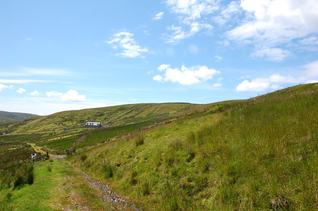
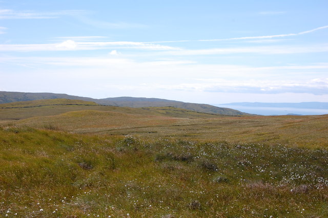
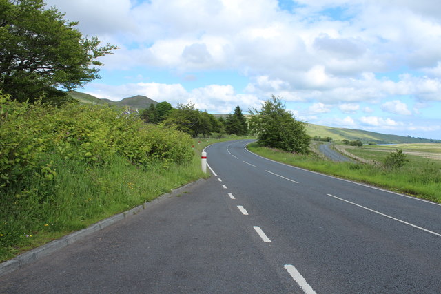
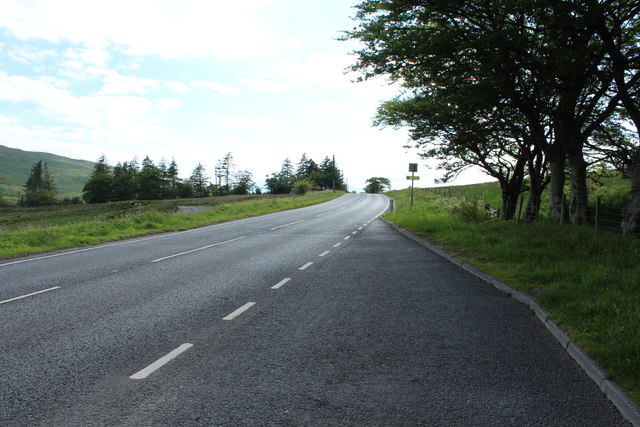
Rye Plantation is a vast woodland and forest located in Ayrshire, Scotland. Covering an area of approximately 500 acres, it is a popular destination for nature lovers, hikers, and wildlife enthusiasts. The plantation is situated in a picturesque setting, with rolling hills, dense forests, and a diverse range of plant and animal species.
The woodland is predominantly composed of rye trees, which give the plantation its name. These trees are known for their tall stature, reaching heights of up to 100 feet. The plantation has been carefully managed to maintain the health and vitality of the rye trees, ensuring a sustainable ecosystem for both flora and fauna.
Walking through Rye Plantation, visitors can admire the beauty of the ancient woodland, with its thick undergrowth of ferns, mosses, and wildflowers. The forest floor is a haven for small mammals, such as squirrels and voles, while the canopy is home to various bird species, including woodpeckers and owls.
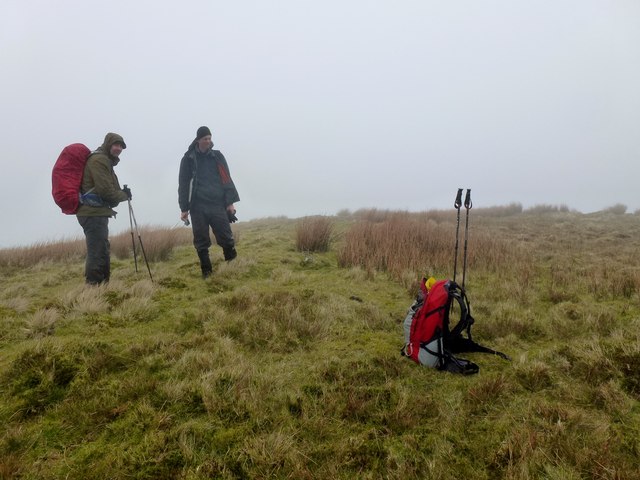
The plantation also offers several marked trails for visitors to explore, allowing them to fully immerse themselves in the natural surroundings. These trails wind through the forest, offering breathtaking views of the Ayrshire countryside. Along the way, visitors may come across a tranquil stream or a hidden waterfall, adding to the enchanting atmosphere of the plantation.
Rye Plantation is not only a haven for wildlife but also an important site for conservation efforts. The forest is carefully managed by local authorities and conservation organizations to protect its biodiversity and maintain its ecological balance. It serves as a valuable educational resource, providing insights into the importance of sustainable land management and the preservation of natural habitats.
If you have any feedback on the listing, please let us know in the comments section below.
Rye Plantation Images
Images are sourced within 2km of 55.783834/-4.7934519 or Grid Reference NS2458. Thanks to Geograph Open Source API. All images are credited.


Rye Plantation is located at Grid Ref: NS2458 (Lat: 55.783834, Lng: -4.7934519)
Unitary Authority: North Ayrshire
Police Authority: Ayrshire
What 3 Words
///announced.yours.finest. Near Largs, North Ayrshire
Nearby Locations
Related Wikis

Irish Law (mountain)
Irish Law is a mountain located in North Ayrshire, Scotland near the town of Largs. It has an elevation of 484 metres (1,588 ft) and a prominence of 80...

British European Airways Flight S200P
British European Airways Flight S200P was a short-haul flight from London-Northolt Airport to Glasgow-Renfrew Airport, Scotland. On 21 April 1948, while...

Kelburn Castle
Kelburn Castle is a large house near Fairlie, North Ayrshire, Scotland. It is the seat of the Earl of Glasgow. Originally built in the thirteenth century...

Hill of Stake
Hill of Stake is a hill on the boundary between North Ayrshire and Renfrewshire, Scotland. == Geography == The hill is 522 metres (1,713 feet) high and...
Nearby Amenities
Located within 500m of 55.783834,-4.7934519Have you been to Rye Plantation?
Leave your review of Rye Plantation below (or comments, questions and feedback).