Tom na h-Airidh Plantation
Wood, Forest in Dunbartonshire
Scotland
Tom na h-Airidh Plantation

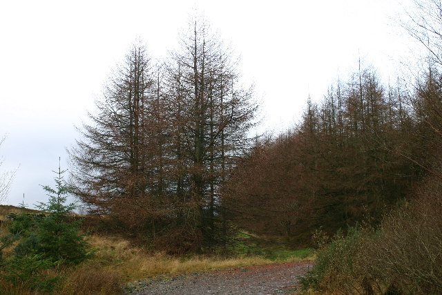
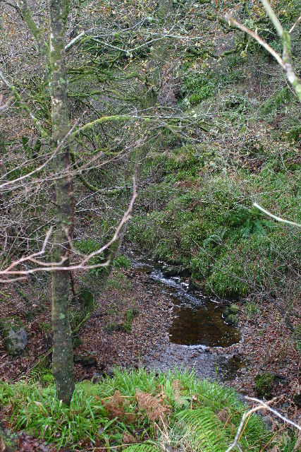
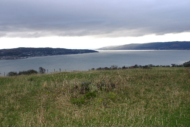
Tom na h-Airidh Plantation is a sprawling woodland located in Dunbartonshire, Scotland. Covering an area of approximately 500 acres, it is known for its rich biodiversity and stunning natural beauty. The plantation is situated on the slopes of the Kilpatrick Hills, providing visitors with breathtaking panoramic views of the surrounding countryside.
The woodland is primarily composed of native tree species such as oak, birch, and rowan, creating a diverse and vibrant ecosystem. The dense canopy provides a habitat for a wide range of flora and fauna, including various species of birds, mammals, and insects. It is not uncommon to spot red squirrels, deer, and numerous bird species while exploring the plantation.
Tom na h-Airidh Plantation offers an extensive network of walking trails, allowing visitors to explore the woodland at their leisure. The paths range from easy strolls to more challenging hikes, catering to all levels of fitness and experience. Along the way, walkers are treated to picturesque streams, tranquil ponds, and enchanting glens.
The plantation is a popular destination for nature enthusiasts, birdwatchers, and photographers due to its diverse wildlife and stunning landscapes. It also serves as an important educational resource, with various guided tours and events organized throughout the year.
Overall, Tom na h-Airidh Plantation is a haven of natural beauty in Dunbartonshire, offering a peaceful escape from the hustle and bustle of everyday life. Whether one seeks a leisurely walk, wildlife spotting, or simply a moment of tranquility, this woodland sanctuary has something to offer for everyone.
If you have any feedback on the listing, please let us know in the comments section below.
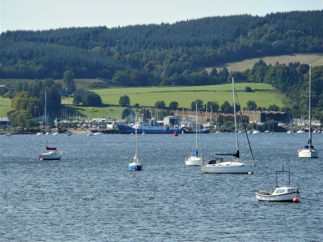
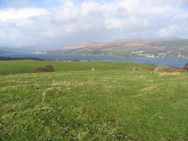
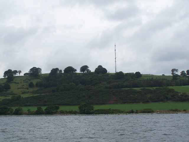
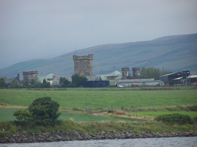
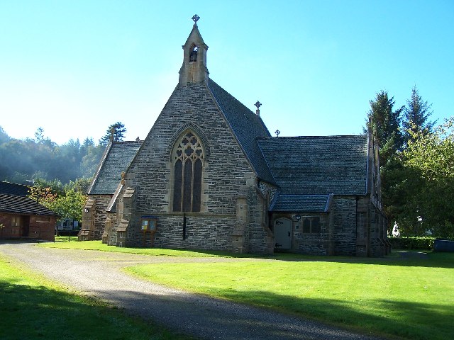
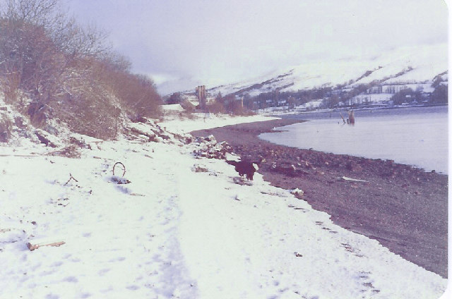
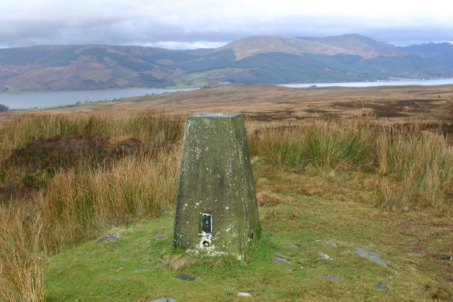
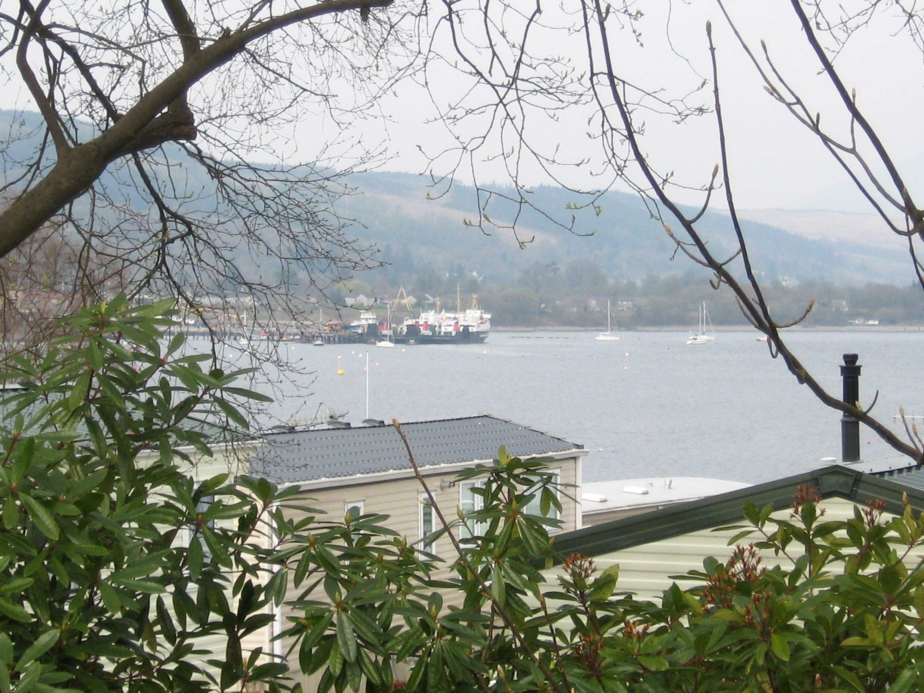
Tom na h-Airidh Plantation Images
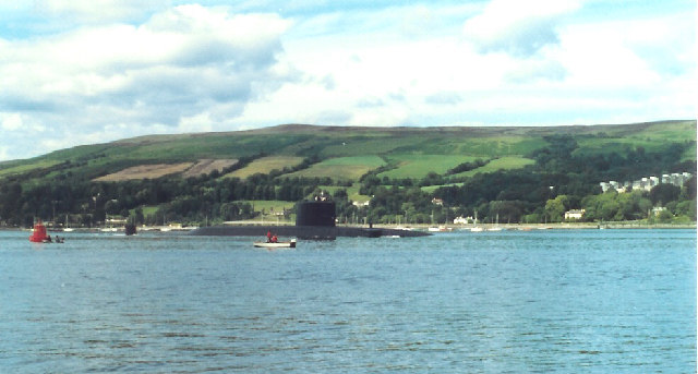
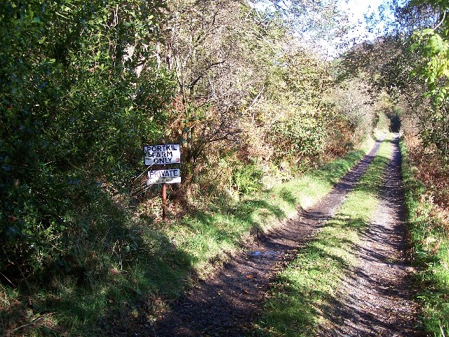
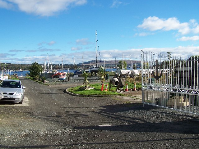
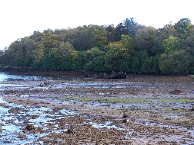
Images are sourced within 2km of 56.004299/-4.8097831 or Grid Reference NS2482. Thanks to Geograph Open Source API. All images are credited.

Tom na h-Airidh Plantation is located at Grid Ref: NS2482 (Lat: 56.004299, Lng: -4.8097831)
Unitary Authority: Argyll and Bute
Police Authority: Argyll and West Dunbartonshire
What 3 Words
///brimmed.restless.will. Near Rosneath, Argyll & Bute
Nearby Locations
Related Wikis
Rosneath
Rosneath (Ros Neimhidh in Gaelic) is a village in Argyll and Bute, Scotland. It sits on the western shore of the Gare Loch, 2 miles (3 kilometres) northwest...

Rosneath naval base
Rosneath naval base was a naval base, constructed on the Rosneath peninsula, Argyll and Bute, Scotland. close to the village of Rosneath. The construction...

Lindowan Reservoir
Lindowan Reservoir is of the impounding variety, located 1 kilometre north of Kilcreggan. It used to be the main source of water for a nearby threshing...
Clynder
Clynder is a place on the western shore of the Gare Loch, Argyll and Bute, Scotland. Historically in the County of Dunbarton, Clynder is one of a string...
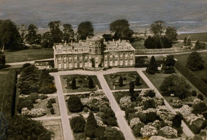
Rosneath House
Rosneath House was a substantial mansion in Dunbartonshire of note both as the home of Princess Louise, Duchess of Argyll and as the military base where...
Portkil
Portkil is a village on the north shore of the Firth of Clyde in Argyll and Bute, Scotland, and is at the south end of the Rosneath Peninsula. == References... ==

Kilcreggan
Kilcreggan (Scottish Gaelic: Cille Chreagain) is a village on the Rosneath peninsula in Argyll and Bute, West of Scotland. It developed on the north shore...

Rhu
Rhu (; Scottish Gaelic: An Rubha [ən ˈrˠu.ə]) is a village and historic parish on the east shore of the Gare Loch in Argyll and Bute, Scotland. The traditional...
Nearby Amenities
Located within 500m of 56.004299,-4.8097831Have you been to Tom na h-Airidh Plantation?
Leave your review of Tom na h-Airidh Plantation below (or comments, questions and feedback).