Hill of Camsail Plantation

Wood, Forest in Dunbartonshire

Scotland

Hill of Camsail Plantation

The beach at Kilcreggan Bay The view looks towards the village of Kilcreggan and the ferry pier.
The beach at Kilcreggan Bay Credit: Clive Nicholson

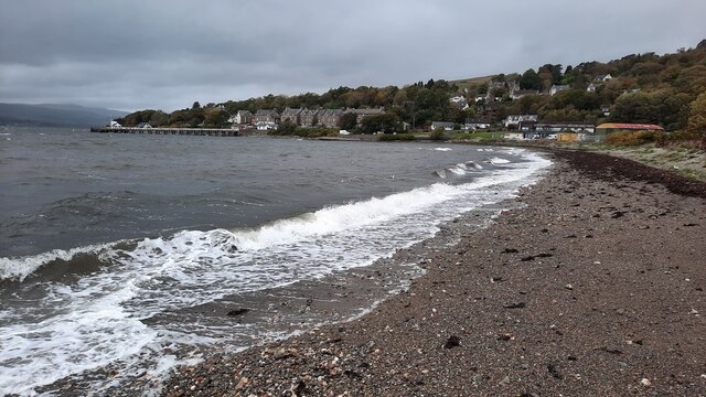
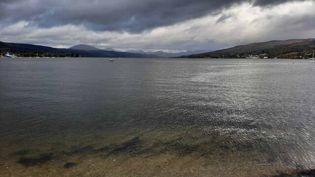
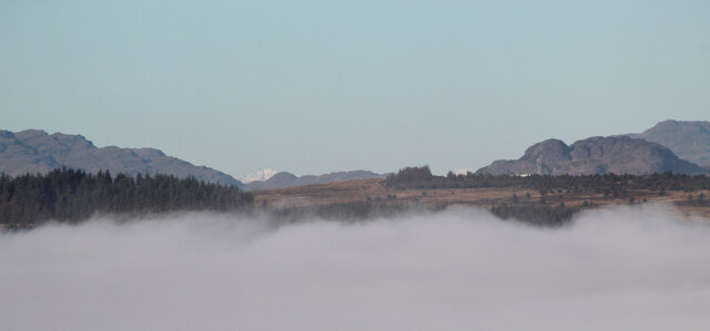
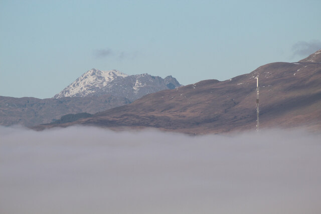
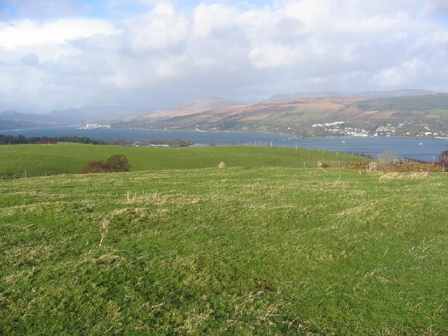
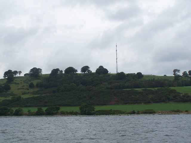
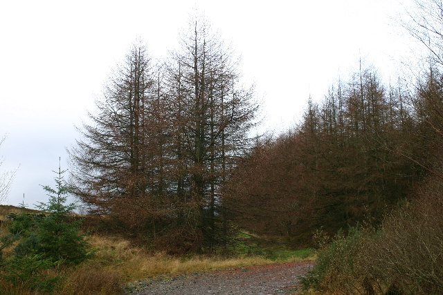
Hill of Camsail Plantation is a picturesque woodland located in Dunbartonshire, Scotland. Spanning over a vast area, this forest is known for its serene beauty and diverse ecosystem, making it a popular destination for nature enthusiasts and hikers.

The plantation is primarily composed of native broadleaf trees, including oak, birch, and ash, which lend a sense of tranquility to the surroundings. The dense canopy created by these trees provides a cool and sheltered environment, perfect for leisurely walks or picnics on a warm summer day.

As visitors explore the forest, they can expect to encounter a variety of wildlife. The woodland is home to numerous bird species, such as woodpeckers, owls, and songbirds, filling the air with their melodious tunes. Squirrels, badgers, and deer can also be spotted roaming freely amidst the trees, adding to the enchanting atmosphere of the forest.

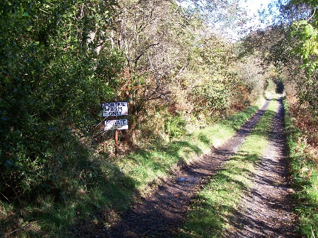
Trails wind through the plantation, offering visitors the opportunity to immerse themselves in its natural beauty. These paths are well-maintained, ensuring a pleasant walking experience for visitors of all ages and abilities. Along the way, informative signage provides interesting facts about the local flora and fauna, enriching the educational value of the visit.

Additionally, Hill of Camsail Plantation provides a peaceful retreat from the hustle and bustle of everyday life. The tranquil ambiance and stunning views make it an ideal spot for relaxation and mindfulness. Whether one is seeking solace in nature or looking to embark on an outdoor adventure, this woodland is sure to provide a memorable experience for all who visit.

If you have any feedback on the listing, please let us know in the comments section below.

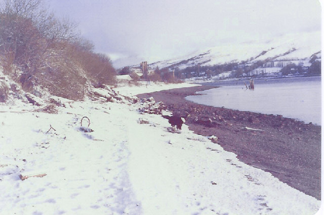
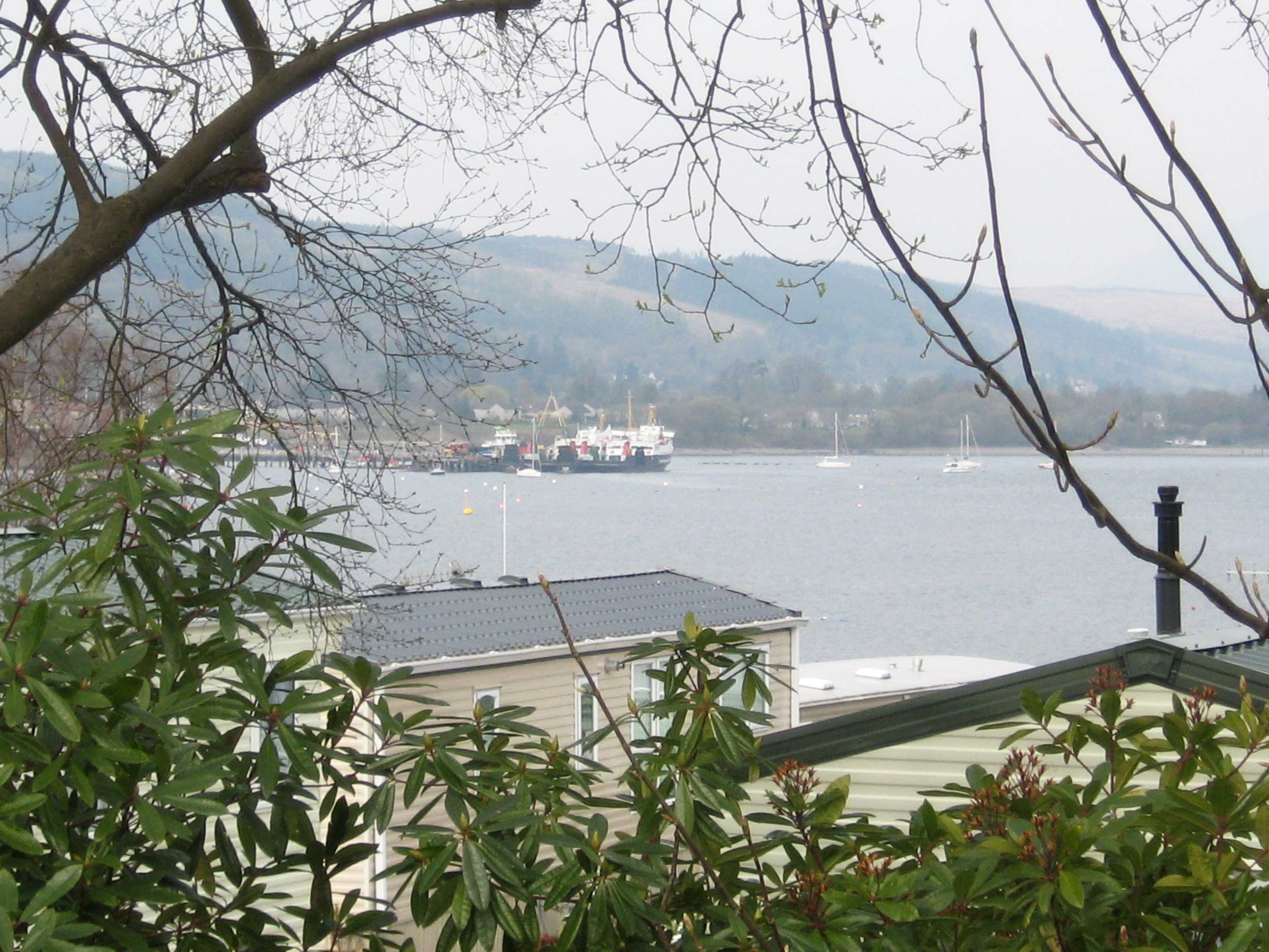
Hill of Camsail Plantation Images

Images are sourced within 2km of 55.998582/-4.809817 or Grid Reference NS2481. Thanks to Geograph Open Source API. All images are credited.

The beach at Kilcreggan Bay The view looks towards the village of Kilcreggan and the ferry pier.
The beach at Kilcreggan Bay
The view looks towards the village of Kilcreggan and the ferry pier.
Gare Loch The view of Gare Loch close to Castle Point on Rosneath Bay.
Gare Loch
The view of Gare Loch close to Castle Point on Rosneath Bay.
Old Milestone by the B833, Kilcreggan, Rosneath Parish Dunbarton plate by the B833, in parish of Rosneath (Argyll and Bute District), Kilcreggan, on bend opposite the iron railings, against stone wall, North side of road.

Inscription reads:- : {pointing hand} / DUNBARTON / 21 MILES / {pointing hand} / GARELOCHHEAD / 8½ MILES / {pointing hand} / COULPORT / 5½ MILES :

Milestone Society National ID: AB_GLCP08
Old Milestone by the B833, Kilcreggan, Rosneath Parish
Dunbarton plate by the B833, in parish of Rosneath (Argyll and Bute District), Kilcreggan, on bend opposite the iron railings, against stone wall, North side of road. Inscription reads:- : {pointing hand} / DUNBARTON / 21 MILES / {pointing hand} / GARELOCHHEAD / 8½ MILES / {pointing hand} / COULPORT / 5½ MILES : Milestone Society National ID: AB_GLCP08
Moored boats Looking across to a boat moored at the pier at Rosneath Bay.
Moored boats
Looking across to a boat moored at the pier at Rosneath Bay.
Argyll mist and mountains Viewed from Lyle Hill in Greenock, the mist is over the Firth of Clyde. The more prominent snow-capped peak (left of centre) is most likely the 56Km distant 112m Ben Cruachan. The telecoms mast on the right is on top of the hill at Coulport.
Argyll mist and mountains
Viewed from Lyle Hill in Greenock, the mist is over the Firth of Clyde. The more prominent snow-capped peak (left of centre) is most likely the 56Km distant 112m Ben Cruachan. The telecoms mast on the right is on top of the hill at Coulport.
The Cobbler from Lyle Hill The 29Km distant 884m Ben Arthur, better known as The Cobbler, with the top part of  the 4Km distant Rosneath Transmitter peeking through the mist in the middle distance.
The Cobbler from Lyle Hill
The 29Km distant 884m Ben Arthur, better known as The Cobbler, with the top part of the 4Km distant Rosneath Transmitter peeking through the mist in the middle distance.
Gallow Hill View up the Gare Loch. The hill is home to a TV transmitter and is just across the Clyde from Greenock.
Gallow Hill
View up the Gare Loch. The hill is home to a TV transmitter and is just across the Clyde from Greenock.
Portkill Point near Kilcreggan, taken from the ferry.
Portkill Point
near Kilcreggan, taken from the ferry.
TV transmitter On Gallow Hill
TV transmitter
On Gallow Hill
Roseneath Home Farm
Roseneath Home Farm
Rhu Narrows HMS Revenge transits the Rhu Narrows as she departs the Gareloch for INDEX in the Clyde Submarine Exercise Areas. The red buoy to the left is the channel marker at the end of Limekiln Point.
Rhu Narrows
HMS Revenge transits the Rhu Narrows as she departs the Gareloch for INDEX in the Clyde Submarine Exercise Areas. The red buoy to the left is the channel marker at the end of Limekiln Point.
Kilcreggan Pier Taken from the Kenilworth Ferry (built 1936) and still going strong.
Kilcreggan Pier
Taken from the Kenilworth Ferry (built 1936) and still going strong.
Road to Portkil Farm Near Kilcreggan
Road to Portkil Farm
Near Kilcreggan
Yachts and  caravans at Roseneath
Yachts and caravans at Roseneath
Old Shipwreck at Camsail Bay Part of Roseneath Bay
Old Shipwreck at Camsail Bay
Part of Roseneath Bay
Church at Roseneath
Church at Roseneath
Rosneath Beach Looking north along the beach at Rosneath towards Rhu Narrows on a wintery January afternoon. Ferryboat Cottage can be seen in the distance at centre, and the remains of the old pier can be seen in the water to the right.
Rosneath Beach
Looking north along the beach at Rosneath towards Rhu Narrows on a wintery January afternoon. Ferryboat Cottage can be seen in the distance at centre, and the remains of the old pier can be seen in the water to the right.
Forest track on Clach Mackenny Looking W from position
Forest track on Clach Mackenny
Looking W from position
Show me another place!

Hill of Camsail Plantation is located at Grid Ref: NS2481 (Lat: 55.998582, Lng: -4.809817)

Unitary Authority: Argyll and Bute

Police Authority: Argyll and West Dunbartonshire

What 3 Words

///lyricism.grit.cluttered. Near Rosneath, Argyll & Bute

Related Wikis

Lindowan Reservoir

Lindowan Reservoir is of the impounding variety, located 1 kilometre north of Kilcreggan. It used to be the main source of water for a nearby threshing...
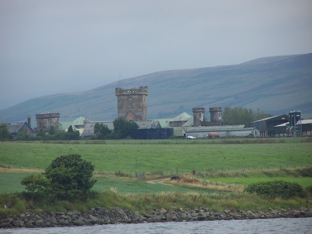
Rosneath naval base

Rosneath naval base was a naval base, constructed on the Rosneath peninsula, Argyll and Bute, Scotland. close to the village of Rosneath. The construction...
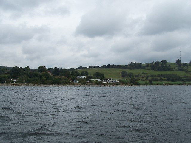
Rosneath

Rosneath (Ros Neimhidh in Gaelic) is a village in Argyll and Bute, Scotland. It sits on the western shore of the Gare Loch, 2 miles (3 kilometres) northwest...

Portkil

Portkil is a village on the north shore of the Firth of Clyde in Argyll and Bute, Scotland, and is at the south end of the Rosneath Peninsula. == References... ==

Related Videos

Cove and Kilcreggan❤️

Cove and Kilcreggan ❤️ #visitkilcreggan & #cove #wildaboutargyll #visitscotland #TuTTuT thank's Erik Shields for Drone ...

Kilcreggan Circular ( Frank's recce)

This was a recce for Frank's forthcoming group walk Starting from Kilcreggan then up to Clach MacKenny trig point then down to ...

Gourock to Kilcreggan on MV Ali Cat

With the regular Kilcreggan vessel MV Chieftain away to Ardmaleish on Bute for her annual overhaul the Kilcreggan service was ...

Have you been to Hill of Camsail Plantation?

Leave your review of Hill of Camsail Plantation below (or comments, questions and feedback).