Lindowan Reservoir

Lake, Pool, Pond, Freshwater Marsh in Dunbartonshire

Scotland

Lindowan Reservoir

The beach at Kilcreggan Bay The view looks towards the village of Kilcreggan and the ferry pier.
The beach at Kilcreggan Bay Credit: Clive Nicholson

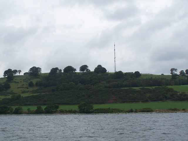
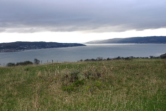
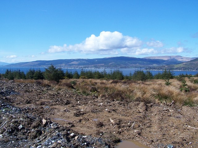
Lindowan Reservoir is a freshwater body located in the region of Dunbartonshire, Scotland. With its serene surroundings and abundant wildlife, the reservoir serves as an important ecological site and a popular destination for nature enthusiasts.

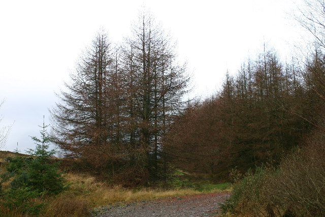
Spanning over an area of approximately 50 acres, Lindowan Reservoir is primarily known for its picturesque beauty. The reservoir is surrounded by lush greenery, including dense woodlands, which add to its enchanting appeal. The calm and tranquil waters of the reservoir reflect the stunning landscape, creating a mesmerizing sight for visitors.

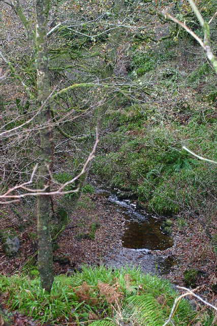
Due to its rich biodiversity, Lindowan Reservoir is home to a wide variety of flora and fauna. The waters of the reservoir support a diverse range of fish species, including trout and pike, making it a popular spot for fishing enthusiasts. The surrounding woodlands provide a habitat for numerous bird species, such as herons, ducks, and kingfishers, making it an ideal location for birdwatching.

In addition to its natural beauty, Lindowan Reservoir also offers recreational activities for visitors. The reservoir has a well-maintained path that encircles its perimeter, allowing visitors to enjoy leisurely walks while taking in the stunning views. There are also designated picnic areas where visitors can relax and enjoy a meal amidst the tranquility of the reservoir.

Overall, Lindowan Reservoir is a peaceful oasis in Dunbartonshire, offering a haven for wildlife and a place of relaxation for visitors. Its scenic beauty, diverse wildlife, and recreational opportunities make it a must-visit destination for nature lovers and those seeking a respite from the hustle and bustle of everyday life.

If you have any feedback on the listing, please let us know in the comments section below.

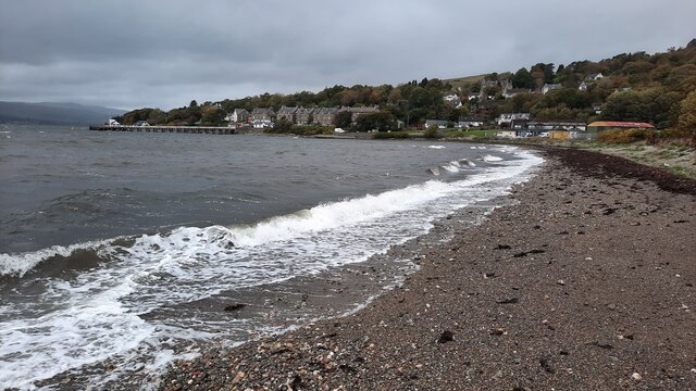
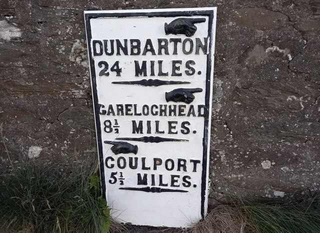
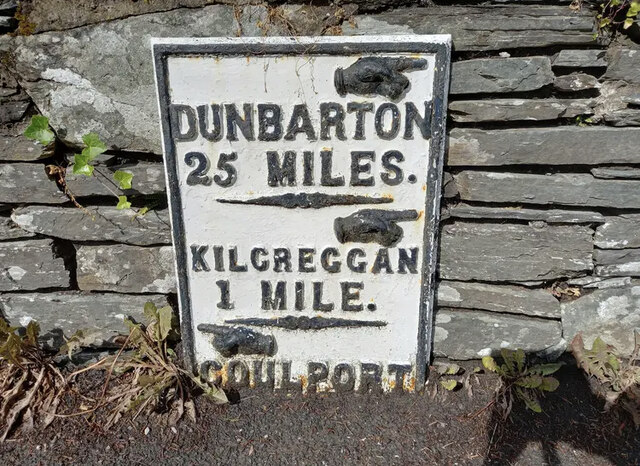
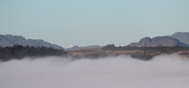
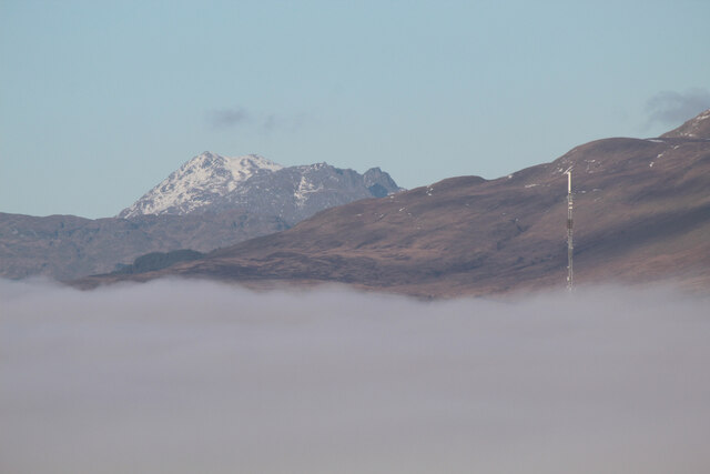
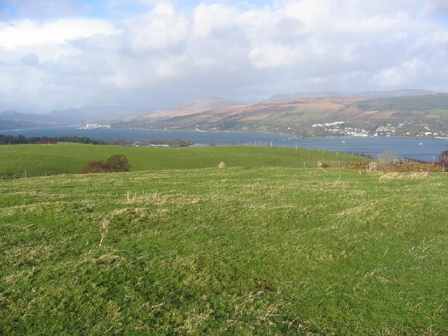
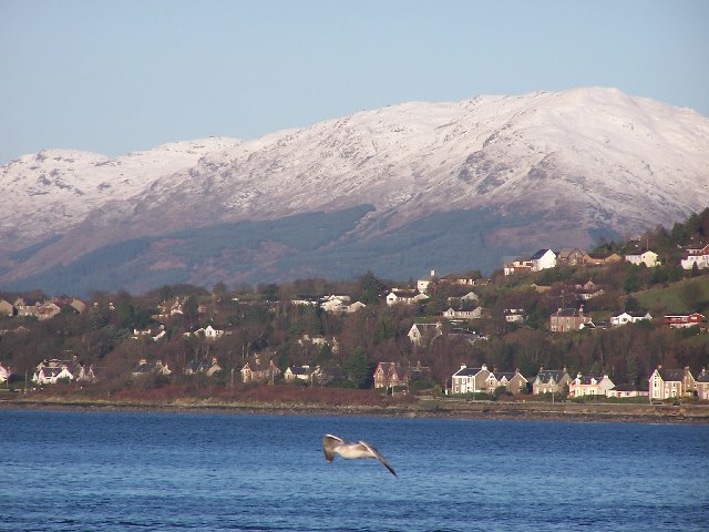
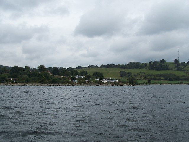
Lindowan Reservoir Images

Images are sourced within 2km of 55.994744/-4.8223692 or Grid Reference NS2481. Thanks to Geograph Open Source API. All images are credited.

The beach at Kilcreggan Bay The view looks towards the village of Kilcreggan and the ferry pier.
The beach at Kilcreggan Bay
The view looks towards the village of Kilcreggan and the ferry pier.
Old Milestone by the B833, Kilcreggan, Rosneath Parish Dunbarton plate by the B833, in parish of Rosneath (Argyll and Bute District), Kilcreggan, on bend opposite the iron railings, against stone wall, North side of road.

Inscription reads:- : {pointing hand} / DUNBARTON / 21 MILES / {pointing hand} / GARELOCHHEAD / 8½ MILES / {pointing hand} / COULPORT / 5½ MILES :

Milestone Society National ID: AB_GLCP08
Old Milestone by the B833, Kilcreggan, Rosneath Parish
Dunbarton plate by the B833, in parish of Rosneath (Argyll and Bute District), Kilcreggan, on bend opposite the iron railings, against stone wall, North side of road. Inscription reads:- : {pointing hand} / DUNBARTON / 21 MILES / {pointing hand} / GARELOCHHEAD / 8½ MILES / {pointing hand} / COULPORT / 5½ MILES : Milestone Society National ID: AB_GLCP08
Old Milepost by the B833, Shore Road, Barons Point Dunbarton plate by the B833, in parish of Rosneath (Argyll & Bute District), Barons Point, Shore Road, near entrance to Glen Eden.

Inscription reads:-
{hand->}
DUNBARTON
25 MILES.
-----
{hand->}
KILCREGGAN
1 MILE
-----
{<-hand}
COULPORT
(4½)

Grade A listed as part of the boundary wall of Glen Eden.
Reference: LB43442 <span class="nowrap"><a title="https://portal.historicenvironment.scot/designation/LB43442" rel="nofollow ugc noopener" href="https://portal.historicenvironment.scot/designation/LB43442">Link</a><img style="margin-left:2px;" alt="External link" title="External link - shift click to open in new window" src="https://s1.geograph.org.uk/img/external.png" width="10" height="10"/></span>

Milestone Society National ID: AB_GLCP09
Old Milepost by the B833, Shore Road, Barons Point
Dunbarton plate by the B833, in parish of Rosneath (Argyll & Bute District), Barons Point, Shore Road, near entrance to Glen Eden. Inscription reads:- {hand->} DUNBARTON 25 MILES. ----- {hand->} KILCREGGAN 1 MILE ----- {<-hand} COULPORT (4½) Grade A listed as part of the boundary wall of Glen Eden. Reference: LB43442 LinkExternal link Milestone Society National ID: AB_GLCP09
Argyll mist and mountains Viewed from Lyle Hill in Greenock, the mist is over the Firth of Clyde. The more prominent snow-capped peak (left of centre) is most likely the 56Km distant 112m Ben Cruachan. The telecoms mast on the right is on top of the hill at Coulport.
Argyll mist and mountains
Viewed from Lyle Hill in Greenock, the mist is over the Firth of Clyde. The more prominent snow-capped peak (left of centre) is most likely the 56Km distant 112m Ben Cruachan. The telecoms mast on the right is on top of the hill at Coulport.
The Cobbler from Lyle Hill The 29Km distant 884m Ben Arthur, better known as The Cobbler, with the top part of  the 4Km distant Rosneath Transmitter peeking through the mist in the middle distance.
The Cobbler from Lyle Hill
The 29Km distant 884m Ben Arthur, better known as The Cobbler, with the top part of the 4Km distant Rosneath Transmitter peeking through the mist in the middle distance.
Gallow Hill View up the Gare Loch. The hill is home to a TV transmitter and is just across the Clyde from Greenock.
Gallow Hill
View up the Gare Loch. The hill is home to a TV transmitter and is just across the Clyde from Greenock.
Kilcreggan in winter The seagull was unintentional.
Kilcreggan in winter
The seagull was unintentional.
Portkill Point near Kilcreggan, taken from the ferry.
Portkill Point
near Kilcreggan, taken from the ferry.
TV transmitter On Gallow Hill
TV transmitter
On Gallow Hill
Kilcreggan Pier Taken from the Kenilworth Ferry (built 1936) and still going strong.
Kilcreggan Pier
Taken from the Kenilworth Ferry (built 1936) and still going strong.
Road to Portkil Farm Near Kilcreggan
Road to Portkil Farm
Near Kilcreggan
War Memorial Between Kilcreggan and Cove
War Memorial
Between Kilcreggan and Cove
Cove Post Office
Cove Post Office
Painted Rock Near Kilcreggan
Painted Rock
Near Kilcreggan
Forest track on Clach Mackenny Looking W from position
Forest track on Clach Mackenny
Looking W from position
Unnamed burn on Clach Mackenny Looking SW from position. 
Burn originates from a reservoir which from the map also has another burn going S.
Unnamed burn on Clach Mackenny
Looking SW from position. Burn originates from a reservoir which from the map also has another burn going S.
Gallow Hill cairn Looking SW from position
Gallow Hill cairn
Looking SW from position
Kilcreggan, End of Ailey burn track Looking across to Strone Point  and Dunoon
Kilcreggan, End of Ailey burn track
Looking across to Strone Point and Dunoon
Show me another place!

Lindowan Reservoir is located at Grid Ref: NS2481 (Lat: 55.994744, Lng: -4.8223692)

Unitary Authority: Argyll and Bute

Police Authority: Argyll and West Dunbartonshire

What 3 Words

///flaunting.quest.spaceship. Near Kilcreggan, Argyll & Bute

Related Wikis

Lindowan Reservoir

Lindowan Reservoir is of the impounding variety, located 1 kilometre north of Kilcreggan. It used to be the main source of water for a nearby threshing...
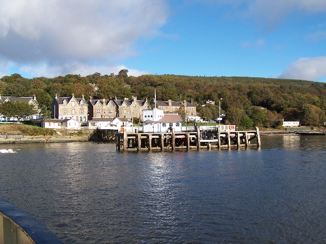
Kilcreggan

Kilcreggan (Scottish Gaelic: Cille Chreagain) is a village on the Rosneath peninsula in Argyll and Bute, West of Scotland. It developed on the north shore...

Cove Burgh Hall

Cove Burgh Hall is a municipal structure in Shore Road in Cove, Argyll and Bute, Scotland. The structure, which is used as a community events venue, is...
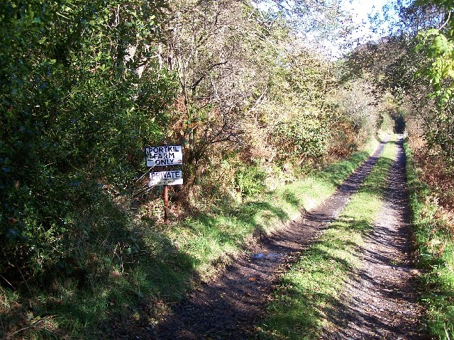
Portkil

Portkil is a village on the north shore of the Firth of Clyde in Argyll and Bute, Scotland, and is at the south end of the Rosneath Peninsula. == References... ==

Have you been to Lindowan Reservoir?

Leave your review of Lindowan Reservoir below (or comments, questions and feedback).