Butler's Brae Plantation

Wood, Forest in Ayrshire

Scotland

Butler's Brae Plantation

Old mine shaft at Hawkhill Farm A closer look at the old mine shaft at Hawkhill Farm. Killochan Castle is shown in the background on the other side of the Water of Girvan. The top of the strange boulder <a href="https://www.geograph.org.uk/photo/7024967">NS2300 : The strange boulder at Hawkhill Farm</a> is just visible on the left.
Old mine shaft at Hawkhill Farm Credit: Mary and Angus Hogg

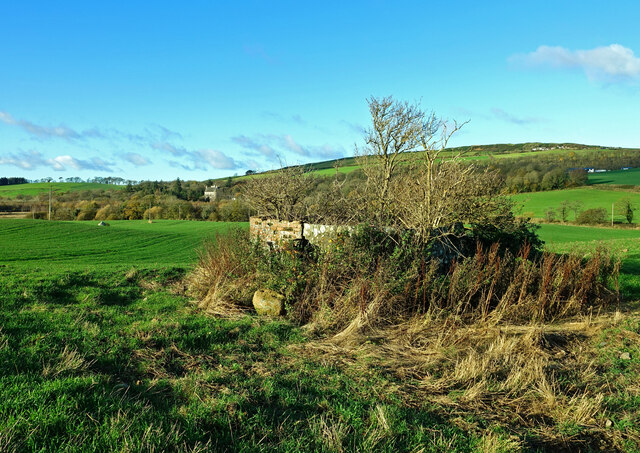
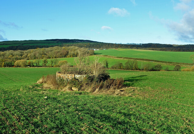
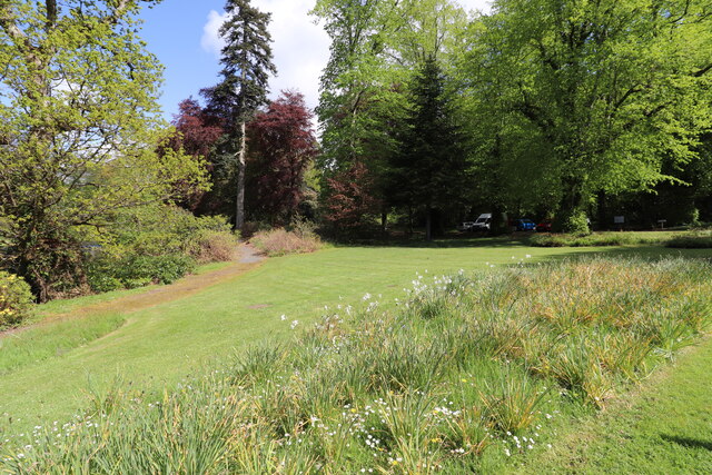
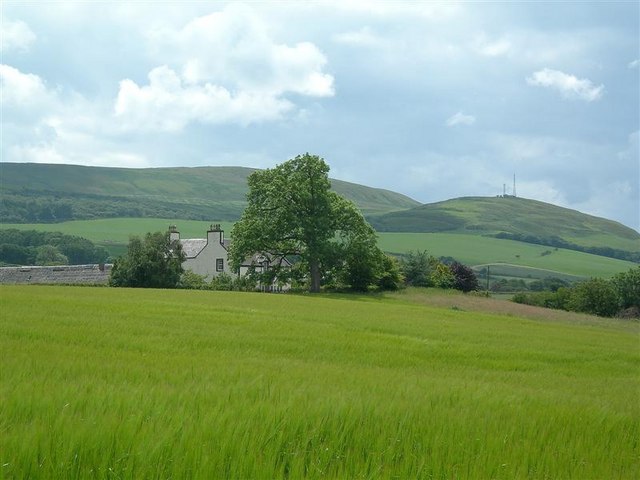
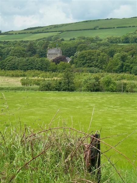
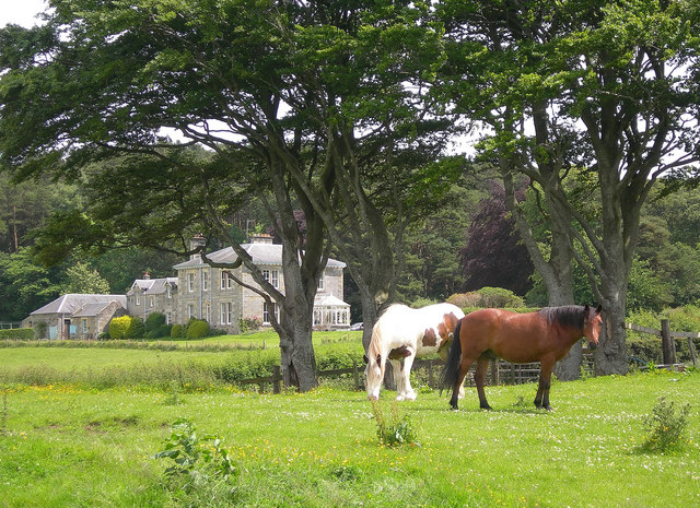
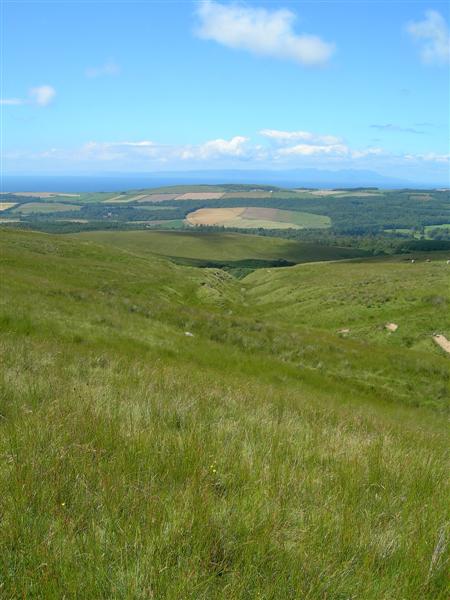
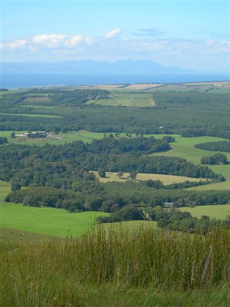
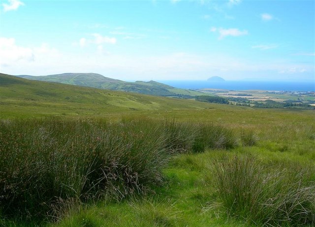
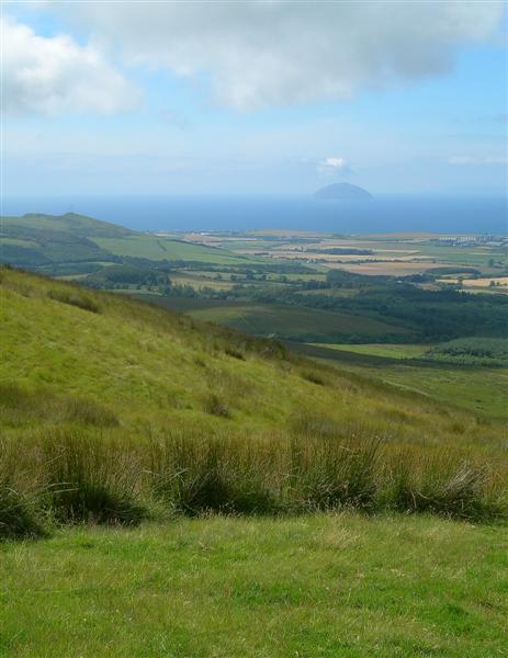
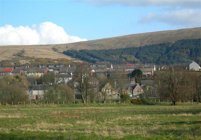
Butler's Brae Plantation is a picturesque woodland located in Ayrshire, Scotland. Spread across a vast area, this plantation is known for its dense forest cover and diverse range of tree species. The woodland is situated on a gentle slope, offering stunning views of the surrounding countryside.

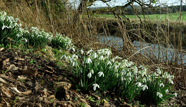
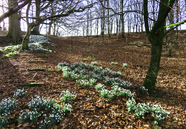
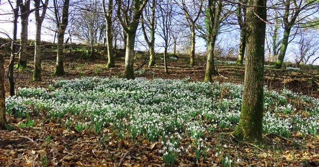
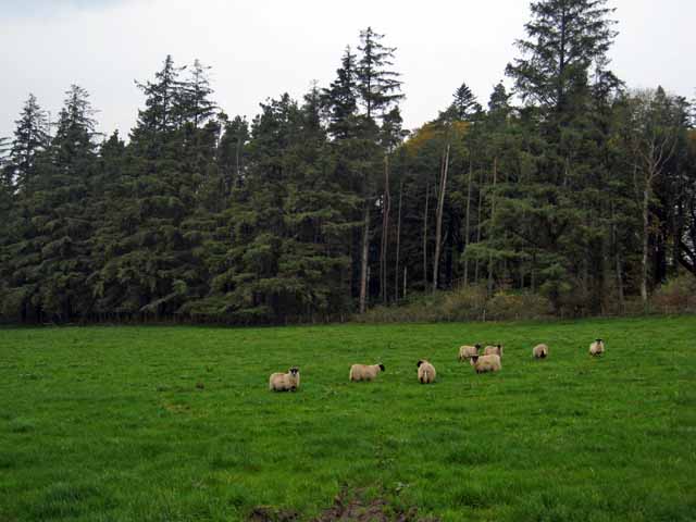
The plantation is primarily composed of native Scottish tree species, including oak, birch, and rowan. These trees form a dense canopy, providing habitat for various bird species such as woodpeckers, owls, and thrushes. The forest floor is covered with a rich carpet of ferns, mosses, and wildflowers, creating a vibrant and diverse ecosystem.

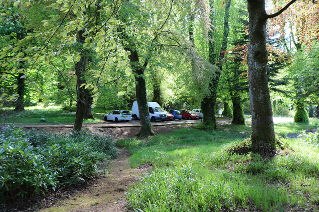
Visitors to Butler's Brae Plantation can explore its numerous walking trails that wind through the woodland. The paths are well-maintained and suitable for all ages and fitness levels. Along the way, hikers can enjoy the peaceful ambiance of the forest, listen to the soothing sounds of birdsong, and spot occasional wildlife such as squirrels and deer.

The plantation is also a popular destination for nature enthusiasts and birdwatchers. Its diverse ecosystem attracts a wide variety of bird species throughout the year, making it an ideal spot for birdwatching. The woodland's tranquil setting provides a perfect backdrop for photography and nature study.

Butler's Brae Plantation is a cherished natural gem in Ayrshire, offering a serene and immersive experience in the heart of nature. Its stunning beauty and rich biodiversity make it a must-visit destination for anyone seeking a peaceful retreat or a closer connection with the natural world.

If you have any feedback on the listing, please let us know in the comments section below.

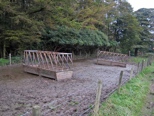
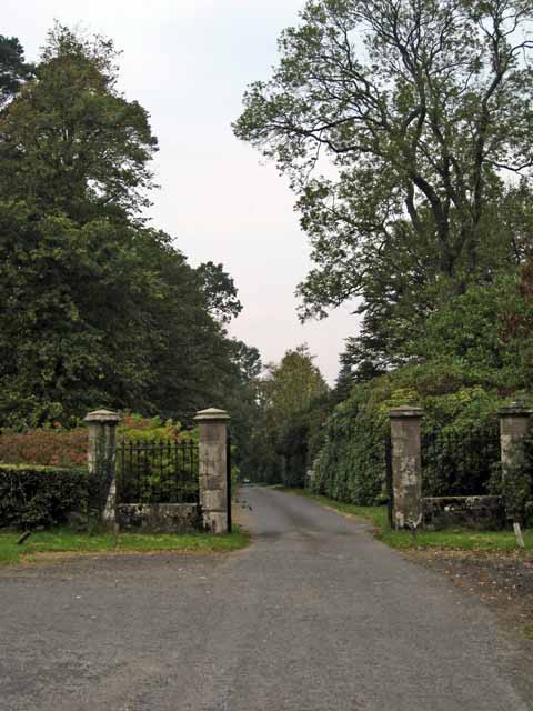
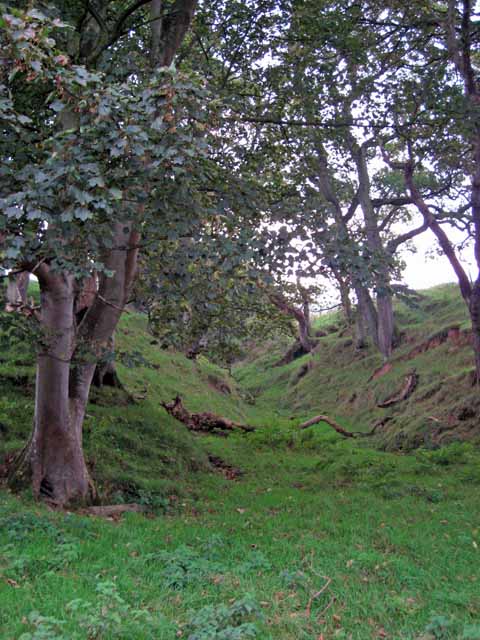
Butler's Brae Plantation Images

Images are sourced within 2km of 55.269588/-4.7626345 or Grid Reference NS2400. Thanks to Geograph Open Source API. All images are credited.

Old mine shaft at Hawkhill Farm A closer look at the old mine shaft at Hawkhill Farm. Killochan Castle is shown in the background on the other side of the Water of Girvan. The top of the strange boulder <a href="https://www.geograph.org.uk/photo/7024967">NS2300 : The strange boulder at Hawkhill Farm</a> is just visible on the left.
Old mine shaft at Hawkhill Farm
A closer look at the old mine shaft at Hawkhill Farm. Killochan Castle is shown in the background on the other side of the Water of Girvan. The top of the strange boulder NS2300 : The strange boulder at Hawkhill Farm is just visible on the left.
The old mine shaft at Hawkhill Farm The strange circular structure in the field at Hawkhill Farm is a shaft from an old coal mine, walled off for protection. The main part of the mine was on the other side of the road on Bargany Estate. See <a href="https://www.geograph.org.uk/photo/6783144">NX2399 : Old colliery site near Lovestone</a>
The old mine shaft at Hawkhill Farm
The strange circular structure in the field at Hawkhill Farm is a shaft from an old coal mine, walled off for protection. The main part of the mine was on the other side of the road on Bargany Estate. See NX2399 : Old colliery site near Lovestone
Snowdrops beside the Water of Girvan Occasional patches of snowdrops enjoy the sunshine alongside the Water of Girvan at Killochan Estate. The flowers have to fight their way through the previous year’s brambles and nettles.
Snowdrops beside the Water of Girvan
Occasional patches of snowdrops enjoy the sunshine alongside the Water of Girvan at Killochan Estate. The flowers have to fight their way through the previous year’s brambles and nettles.
Snowdrops in Lovestone woods My previous visit to this site in March 2021 was too late to see the flowers in bloom. The snowdrops were lovely this time though the February sun was only just reaching the slope.
Snowdrops in Lovestone woods
My previous visit to this site in March 2021 was too late to see the flowers in bloom. The snowdrops were lovely this time though the February sun was only just reaching the slope.
Snowdrops near Lovestone These snowdrops were spreading out in the woodland near the old colliery site. My previous visit to this spot <a href="https://www.geograph.org.uk/photo/6783144">NX2399 : Old colliery site near Lovestone</a> was too late to see the flowers in bloom. It was worth the return visit.
Snowdrops near Lovestone
These snowdrops were spreading out in the woodland near the old colliery site. My previous visit to this spot NX2399 : Old colliery site near Lovestone was too late to see the flowers in bloom. It was worth the return visit.
Picnic Area, Bargany Gardens Beautiful Garden but only open for the Month of May.
Picnic Area, Bargany Gardens
Beautiful Garden but only open for the Month of May.
Car Park, Bargany Gardens This is the main car park but there is also and overflow car park. Beautiful Garden but only open for the Month of May.
Car Park, Bargany Gardens
This is the main car park but there is also and overflow car park. Beautiful Garden but only open for the Month of May.
Bargany Estate, near Old Dailly The tall trees line the southern driveway into the estate.
Bargany Estate, near Old Dailly
The tall trees line the southern driveway into the estate.
Cattle troughs near Dailly
Gateway to the Bargany Estate Off the Dailly to Old Dailly road.
Gateway to the Bargany Estate
Off the Dailly to Old Dailly road.
Small wooded valley near Dailly
Hawkhill Farm This shot shows a field of barley beside the Water of Girvan, with Hawkhill Farm behind.
Hawkhill Farm
This shot shows a field of barley beside the Water of Girvan, with Hawkhill Farm behind.
Towards Killochan Castle Looking across the Girvan Valley at a barley field near Hawkhill Farm.  The Saltire is flying over Killochan Castle.
Towards Killochan Castle
Looking across the Girvan Valley at a barley field near Hawkhill Farm. The Saltire is flying over Killochan Castle.
Lovestone House Formerly living accommodation for workers on Bargany Estate.
Now a private house.
Lovestone House
Formerly living accommodation for workers on Bargany Estate. Now a private house.
Moorland burn Looking down Lauchlan Burn, across the Girvan Valley, towards the Firth of Clyde and Arran.
Moorland burn
Looking down Lauchlan Burn, across the Girvan Valley, towards the Firth of Clyde and Arran.
View From Maxwellston Hill Looking across the lower Girvan Valley, towards the Firth of Clyde and Arran, on a fine July afternoon.
View From Maxwellston Hill
Looking across the lower Girvan Valley, towards the Firth of Clyde and Arran, on a fine July afternoon.
Clyde View Looking towards the Firth of Clyde and Ailsa Craig from the western slopes of Mawellston Hill on a fine July afternoon.  Grangestone Industrial Estate is visible in the distance on the far right. For an updated view showing some of the Hadyard Hill turbines, see <a href="https://www.geograph.org.uk/photo/6545939">NX2598 : Maxwellston Hill trig point</a>
Clyde View
Looking towards the Firth of Clyde and Ailsa Craig from the western slopes of Mawellston Hill on a fine July afternoon. Grangestone Industrial Estate is visible in the distance on the far right. For an updated view showing some of the Hadyard Hill turbines, see NX2598 : Maxwellston Hill trig point
Start of the Southern Uplands Looking towards the Firth of Clyde and Ailsa Craig from the northern slope of Maxwellston Hill.  This photo shows the edge of the Southern Uplands of Scotland, rising sharply from the Girvan Valley. For a different take on this view, see <a href="https://www.geograph.org.uk/photo/6545956">NX2599 : The start of the Central Lowlands</a>
Start of the Southern Uplands
Looking towards the Firth of Clyde and Ailsa Craig from the northern slope of Maxwellston Hill. This photo shows the edge of the Southern Uplands of Scotland, rising sharply from the Girvan Valley. For a different take on this view, see NX2599 : The start of the Central Lowlands
Show me another place!

Butler's Brae Plantation is located at Grid Ref: NS2400 (Lat: 55.269588, Lng: -4.7626345)

Unitary Authority: South Ayrshire

Police Authority: Ayrshire

What 3 Words

///twig.fidgeting.upholds. Near Girvan, South Ayrshire

Related Wikis

Nearby Amenities

Located within 500m of 55.269588,-4.7626345
Power: pole
Lat/Long: 55.2699835/-4.7704639
Power: pole
Lat/Long: 55.2704865/-4.769588
Power: pole
Lat/Long: 55.2709909/-4.7687027
Power: pole
Lat/Long: 55.2668193/-4.7568986
The data included in this document is from www.openstreetmap.org. The data is made available under ODbL.

Have you been to Butler's Brae Plantation?

Leave your review of Butler's Brae Plantation below (or comments, questions and feedback).