Mote Wood

Wood, Forest in Wigtownshire

Scotland

Mote Wood

Dunragit House Dunragit House, an 18th Century mansion close by the village of Dunragit on the A75 Stranraer road. The old main road has now been replaced as the main traffic route by a new bypass. The grand mansion house itself is now split into several separate private dwellings. There is evidence of a Neolithic settlement close by in Dunragit wood and the site is of historic interest.
Dunragit House Credit: Mr S Mudgey

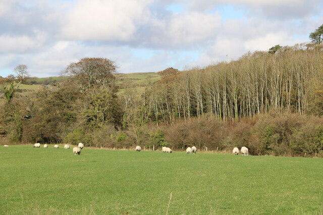
Mote Wood is a picturesque forest located in Wigtownshire, Scotland. This enchanting woodland spans over a vast area, providing visitors with a serene and tranquil setting to explore and appreciate the beauty of nature. The forest is situated near the village of Mochrum, adding to its charm and accessibility.

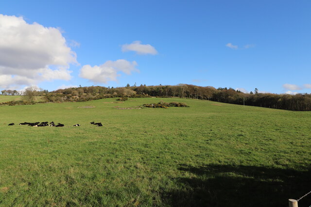
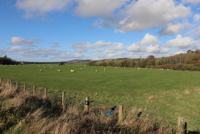
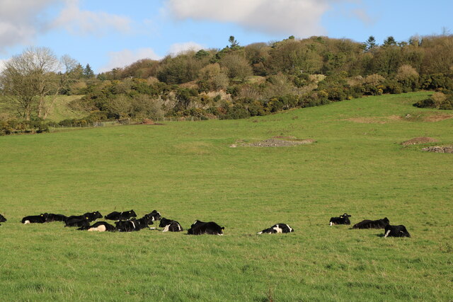
The wood is predominantly made up of mixed deciduous trees, including oak, birch, and beech, which create a diverse and vibrant ecosystem. The dense foliage provides a habitat for a variety of wildlife, making it an ideal destination for nature enthusiasts and birdwatchers. Species such as red squirrels, deer, and a wide array of bird species can often be spotted within the wood.

Mote Wood offers several well-maintained trails, allowing visitors to immerse themselves in the natural surroundings while enjoying leisurely walks or more challenging hikes. The paths wind through the forest, offering glimpses of stunning scenery, including babbling brooks, carpets of wildflowers, and ancient trees.

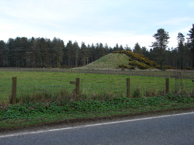
The wood is also of historical significance, with remnants of an Iron Age fort known as "The Mote" located within its boundaries. This archaeological site adds a touch of intrigue and fascination for history buffs and offers insight into the area's rich past.

Visitors to Mote Wood can enjoy a peaceful retreat away from the hustle and bustle of everyday life, with ample opportunities for nature exploration, hiking, picnicking, and photography. Its natural beauty combined with its historical significance makes Mote Wood a truly remarkable destination for all to enjoy.

If you have any feedback on the listing, please let us know in the comments section below.
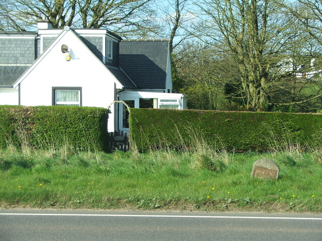
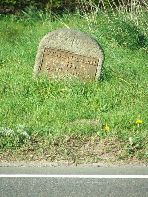
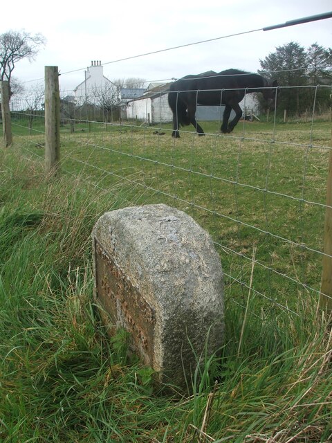
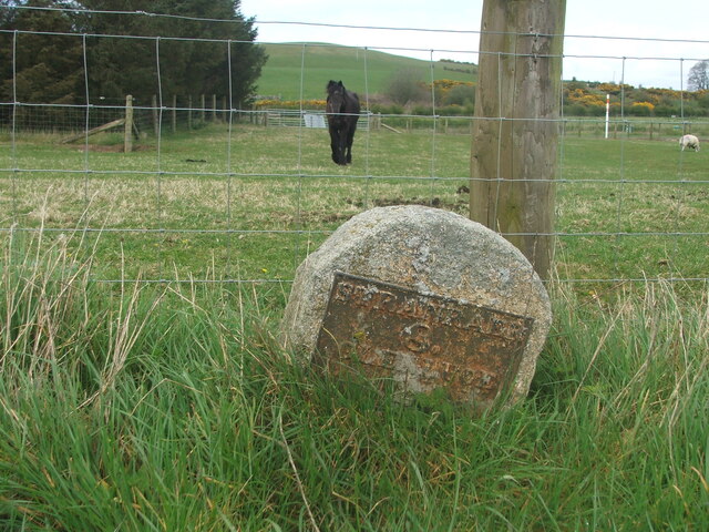
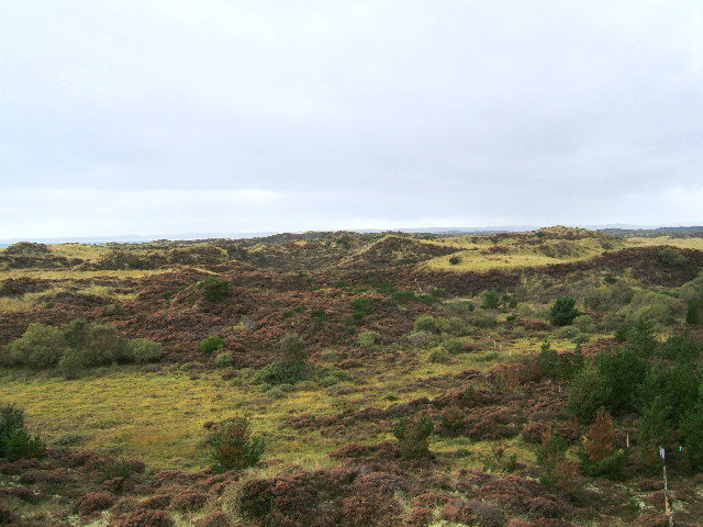
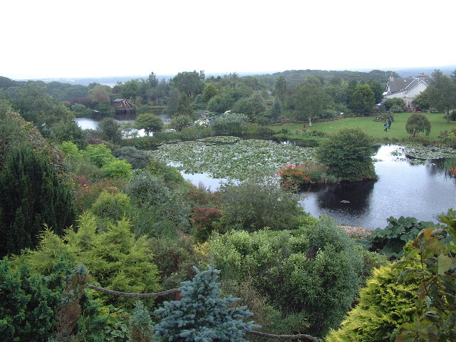
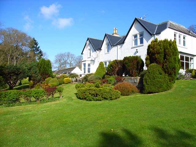
Mote Wood Images

Images are sourced within 2km of 54.871036/-4.8857209 or Grid Reference NX1456. Thanks to Geograph Open Source API. All images are credited.

Dunragit House Dunragit House, an 18th Century mansion close by the village of Dunragit on the A75 Stranraer road. The old main road has now been replaced as the main traffic route by a new bypass. The grand mansion house itself is now split into several separate private dwellings. There is evidence of a Neolithic settlement close by in Dunragit wood and the site is of historic interest.
Dunragit House
Dunragit House, an 18th Century mansion close by the village of Dunragit on the A75 Stranraer road. The old main road has now been replaced as the main traffic route by a new bypass. The grand mansion house itself is now split into several separate private dwellings. There is evidence of a Neolithic settlement close by in Dunragit wood and the site is of historic interest.
Level Crossing, Dunragit Viewed in early November (3rd).
Level Crossing, Dunragit
Viewed in early November (3rd).
Road to Orchard of Dunragit Viewed from the old A75.
Road to Orchard of Dunragit
Viewed from the old A75.
Approaching the A75 at Dunragit From the old A75 now approaching the new Dunragit By-pass.
Approaching the A75 at Dunragit
From the old A75 now approaching the new Dunragit By-pass.
Welcome to Dunragit Very quiet road now it has a by-pass
Welcome to Dunragit
Very quiet road now it has a by-pass
Farmland at Dunragit Viewed from the old A75.
Farmland at Dunragit
Viewed from the old A75.
Sheep grazing at Dunragit Viewed from the old A75.
Sheep grazing at Dunragit
Viewed from the old A75.
Cattle at Rest, Dunragit On a sunny day in early November (3rd).
Cattle at Rest, Dunragit
On a sunny day in early November (3rd).
Sheep at Orchard of Dunragit Viewed in early November (3rd).
Sheep at Orchard of Dunragit
Viewed in early November (3rd).
Old milestone There are several of this type of plated milestone either on the A75 or on by-passed sections.  This one, at Drumflower, sits on the verge between the A75 and the service road for the houses.  It is 6 miles from Stranraer and 4 miles to Glen Luce.  A good proportion of the backing stone is under soil level.
Old milestone
There are several of this type of plated milestone either on the A75 or on by-passed sections. This one, at Drumflower, sits on the verge between the A75 and the service road for the houses. It is 6 miles from Stranraer and 4 miles to Glen Luce. A good proportion of the backing stone is under soil level.
Old milestone The mileage to Glenluce, almost hidden in the grass, is 4.   A bench mark can be seen at the top of the front and there is a hole in the top edge.   To prevent damage, the stone needs uplifting and setting further back from the A75 tarmac.
Old milestone
The mileage to Glenluce, almost hidden in the grass, is 4. A bench mark can be seen at the top of the front and there is a hole in the top edge. To prevent damage, the stone needs uplifting and setting further back from the A75 tarmac.
Old milestone This milestone from the Stranraer to Glenluce route is now on the B7084.   This was the A75 but the main road was realigned many years ago.   It is on the north side of the road near a farm called Whitecrook.
Old milestone
This milestone from the Stranraer to Glenluce route is now on the B7084. This was the A75 but the main road was realigned many years ago. It is on the north side of the road near a farm called Whitecrook.
Old milestone This is another milestone that needs uplifting, setting straight and the plate repainted.   The legends are STRANRAER/8/GLENLUCE/2.  The owners of Whitecrook clearly like black horses.
Old milestone
This is another milestone that needs uplifting, setting straight and the plate repainted. The legends are STRANRAER/8/GLENLUCE/2. The owners of Whitecrook clearly like black horses.
The Torrs Warren former MOD Range near Stoneykirk The Torrs Warren is a large area of sand dunes covered in dune grasses, bushes and scrub on the shores of Luce Bay. It was a former MOD range and is sometimes still used for research and development. It is home to a vast array of wildlife due to the fact it has been closed to the public.
The Torrs Warren former MOD Range near Stoneykirk
The Torrs Warren is a large area of sand dunes covered in dune grasses, bushes and scrub on the shores of Luce Bay. It was a former MOD range and is sometimes still used for research and development. It is home to a vast array of wildlife due to the fact it has been closed to the public.
Glenwhan Gardens, Dunragit, - Wigtownshire Remarkable gardens reclaimed from peat land.
Glenwhan Gardens, Dunragit, - Wigtownshire
Remarkable gardens reclaimed from peat land.
East Challoch An attractive farmhouse bed and breakfast, from which my Geograph forays into Wigtownshire were made. The name "Challoch" which crops up in several places in the district apparently means "Anvil"
East Challoch
An attractive farmhouse bed and breakfast, from which my Geograph forays into Wigtownshire were made. The name "Challoch" which crops up in several places in the district apparently means "Anvil"
Mountain of old tyres Adjacent to the junction of the B7077 and B7084
Mountain of old tyres
Adjacent to the junction of the B7077 and B7084
Genoch Mains The isthmus which separates Glenluce Bay from Loch Ryan is very low lying and drainage is quite a problem.
Genoch Mains
The isthmus which separates Glenluce Bay from Loch Ryan is very low lying and drainage is quite a problem.
Show me another place!

Mote Wood is located at Grid Ref: NX1456 (Lat: 54.871036, Lng: -4.8857209)

Unitary Authority: Dumfries and Galloway

Police Authority: Dumfries and Galloway

What 3 Words

///offices.hatch.producing. Near Stranraer, Dumfries & Galloway

Related Wikis

Droughdool Mote

Droughdool Mote (also spelled Droughduil) (grid reference NX 14823 56865) is a Neolithic round mound in the parish of Old Luce, Wigtownshire, Dumfries...

Dunragit railway station

Dunragit railway station served the village of Dunragit, Dumfries and Galloway, Scotland from 1861 to 1965 on the Portpatrick and Wigtownshire Joint Railway...
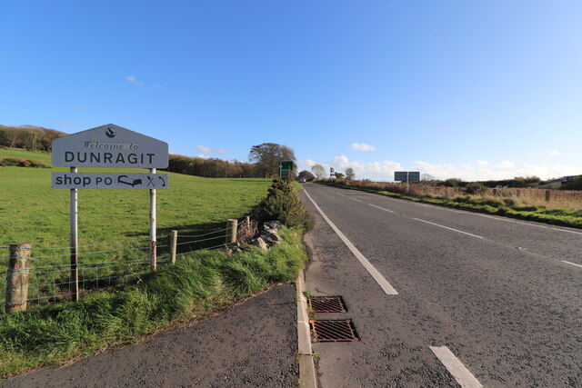
Dunragit

Dunragit (Scottish Gaelic: Dùn Reicheit) is a village on the A75, between Stranraer and Glenluce in Dumfries and Galloway, south-west Scotland. Dunragit...

Luce Bay

Luce Bay is a large bay in Wigtownshire in southern Scotland. The bay is 20 miles wide at its mouth and is bounded by the Rhins of Galloway to the west...

Castle of Park

The Castle of Park is a 16th-century L-plan tower house near Glenluce, in the historic county of Wigtownshire in Dumfries and Galloway, Scotland. It...

Glenluce Abbey

Glenluce Abbey, near to Glenluce, Scotland, was a Cistercian monastery called also Abbey of Luce or Vallis Lucis and founded around 1190 by Rolland or...

Water of Luce

The Water of Luce is a river in Dumfries and Galloway, in south west Scotland.The Main Water of Luce rises in South Ayrshire, flows south to New Luce,...

RAF Castle Kennedy

Royal Air Force Castle Kennedy, or more simply RAF Castle Kennedy, is a former Royal Air Force satellite station located in Castle Kennedy, Dumfries and...

Nearby Amenities

Located within 500m of 54.871036,-4.8857209
Power: pole
Lat/Long: 54.8677617/-4.8806307
Power: pole
Lat/Long: 54.8676753/-4.8818189
Power: pole
Lat/Long: 54.8676027/-4.8830393
Power: pole
Lat/Long: 54.8675317/-4.8841095
Power: pole
Lat/Long: 54.8674445/-4.8853447
Power: pole
Lat/Long: 54.867338/-4.8865409
Power: pole
Lat/Long: 54.8672724/-4.8874234
Power: pole
Lat/Long: 54.8671667/-4.8887283
Power: pole
Lat/Long: 54.8731816/-4.8802031
Power: pole
Lat/Long: 54.8721995/-4.880121
Power: pole
Lat/Long: 54.8721279/-4.8800787
Power: pole
Lat/Long: 54.8717511/-4.8799003
Power: pole
Lat/Long: 54.8713471/-4.8796866
Power: pole
Lat/Long: 54.8720455/-4.8810694
Power: pole
Lat/Long: 54.8733795/-4.8891065
Power: pole
Lat/Long: 54.8731741/-4.8891546
Power: pole
Lat/Long: 54.8728614/-4.8892426
Power: pole
Lat/Long: 54.8719037/-4.8902263
Power: pole
Lat/Long: 54.8719679/-4.8900948
Power: pole
Lat/Long: 54.8720584/-4.8899023
Power: pole
Lat/Long: 54.872852/-4.8895138
Power: pole
Lat/Long: 54.8729276/-4.8875453
Power: pole
Lat/Long: 54.8729796/-4.8859595
Power: pole
Lat/Long: 54.8730377/-4.8844758
Power: pole
Lat/Long: 54.8730985/-4.8829005
Power: pole
Lat/Long: 54.8731444/-4.8814192
Power: pole
Lat/Long: 54.8731593/-4.8809168
The data included in this document is from www.openstreetmap.org. The data is made available under ODbL.

Have you been to Mote Wood?

Leave your review of Mote Wood below (or comments, questions and feedback).