Torrs Warren Plantation
Wood, Forest in Wigtownshire
Scotland
Torrs Warren Plantation
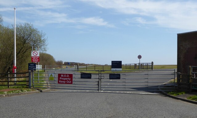
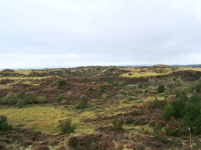
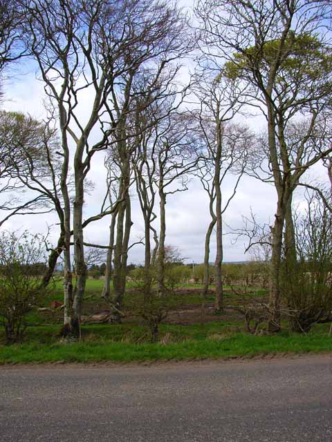
Torrs Warren Plantation is a picturesque woodland located in Wigtownshire, Scotland. Spread across an area of approximately 300 acres, it is nestled within a serene countryside setting, offering visitors a tranquil escape from the hustle and bustle of everyday life.
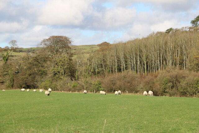
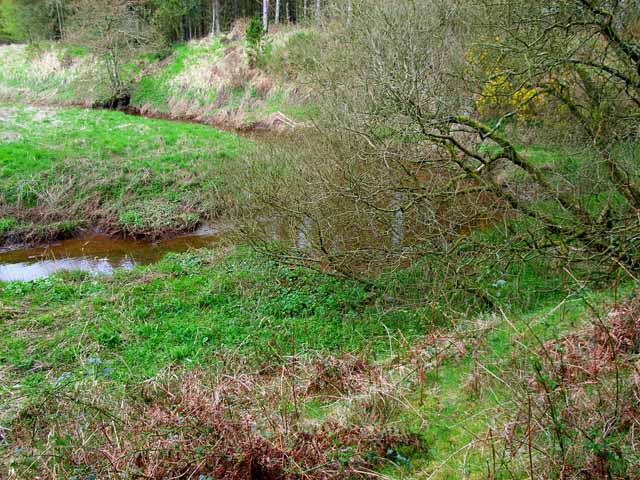
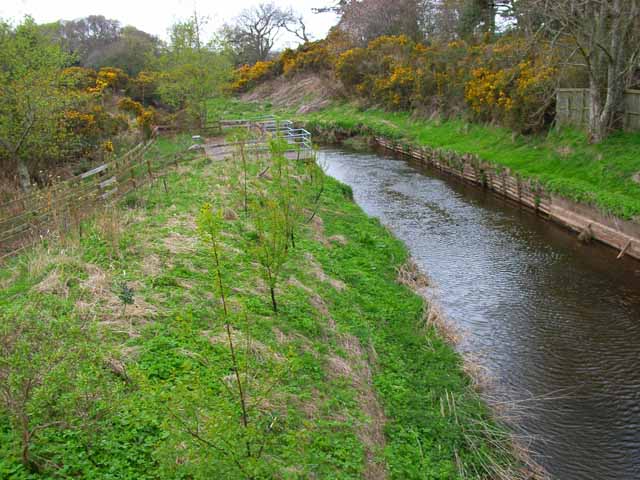
The plantation is primarily composed of native broadleaf trees, including oak, beech, and ash, which create a rich and diverse ecosystem. The lush undergrowth is adorned with a variety of wildflowers, enhancing the beauty of the woodland. The vibrant colors of bluebells and primroses in spring add a touch of enchantment to the surroundings.
Torrs Warren Plantation also boasts a network of well-maintained walking trails, allowing visitors to explore the area at their own pace. These paths wind through the woods, offering glimpses of wildlife such as red squirrels, roe deer, and a variety of bird species. Nature enthusiasts will find ample opportunities for birdwatching and wildlife photography.
One of the standout features of Torrs Warren Plantation is its historic significance. The woodland was once part of the Torrs Warren Estate, which dates back to the 18th century. Remnants of old stone walls and structures can still be seen, providing a glimpse into the area's past.
Whether you're seeking a peaceful stroll, a chance to observe wildlife, or a glimpse into Scotland's history, Torrs Warren Plantation offers a unique and captivating experience for visitors of all ages.
If you have any feedback on the listing, please let us know in the comments section below.
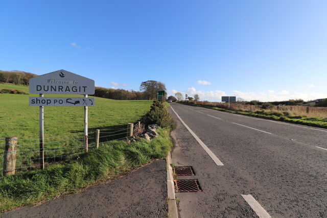
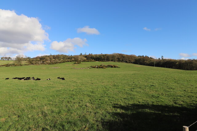
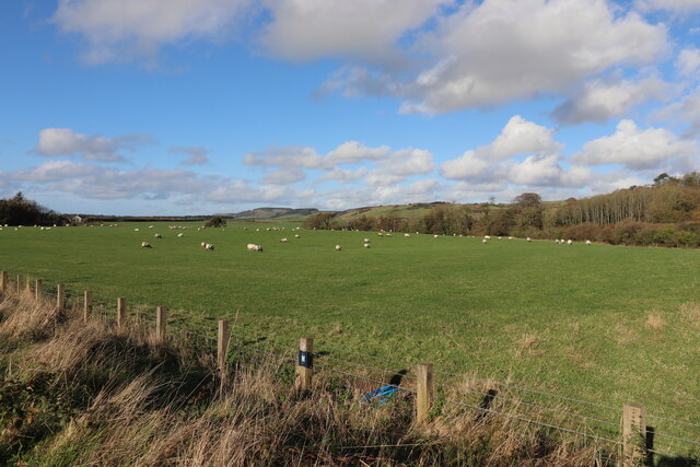
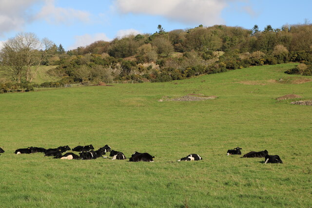
Torrs Warren Plantation Images
Images are sourced within 2km of 54.86441/-4.8944277 or Grid Reference NX1456. Thanks to Geograph Open Source API. All images are credited.
Torrs Warren Plantation is located at Grid Ref: NX1456 (Lat: 54.86441, Lng: -4.8944277)
Unitary Authority: Dumfries and Galloway
Police Authority: Dumfries and Galloway
What 3 Words
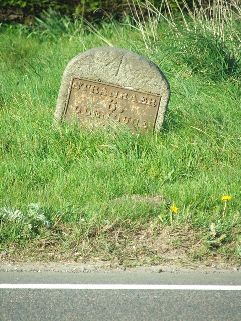
///tablets.shapes.nicer. Near Stranraer, Dumfries & Galloway
Nearby Locations
Related Wikis
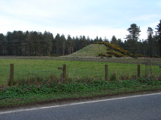
Droughdool Mote
Droughdool Mote (also spelled Droughduil) (grid reference NX 14823 56865) is a Neolithic round mound in the parish of Old Luce, Wigtownshire, Dumfries...

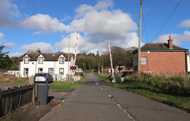
Dunragit railway station
Dunragit railway station served the village of Dunragit, Dumfries and Galloway, Scotland from 1861 to 1965 on the Portpatrick and Wigtownshire Joint Railway...

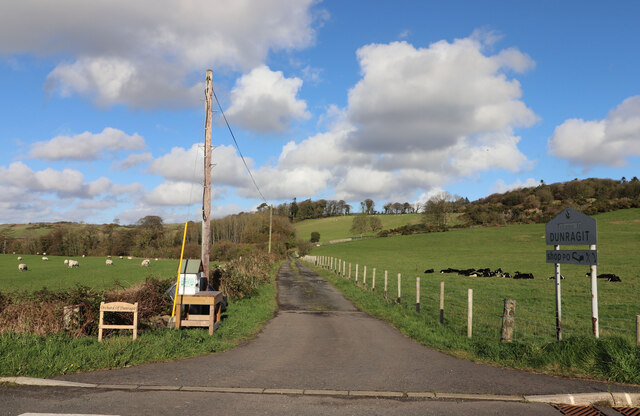
Dunragit
Dunragit (Scottish Gaelic: Dùn Reicheit) is a village on the A75, between Stranraer and Glenluce in Dumfries and Galloway, south-west Scotland. Dunragit...

Luce Bay
Luce Bay is a large bay in Wigtownshire in southern Scotland. The bay is 20 miles wide at its mouth and is bounded by the Rhins of Galloway to the west...
Nearby Amenities
Located within 500m of 54.86441,-4.8944277Have you been to Torrs Warren Plantation?
Leave your review of Torrs Warren Plantation below (or comments, questions and feedback).