Swamps Plantation
Wood, Forest in Wigtownshire
Scotland
Swamps Plantation
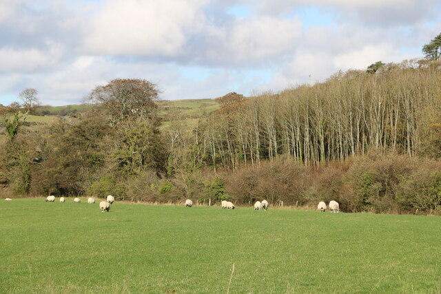
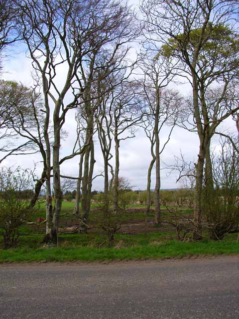
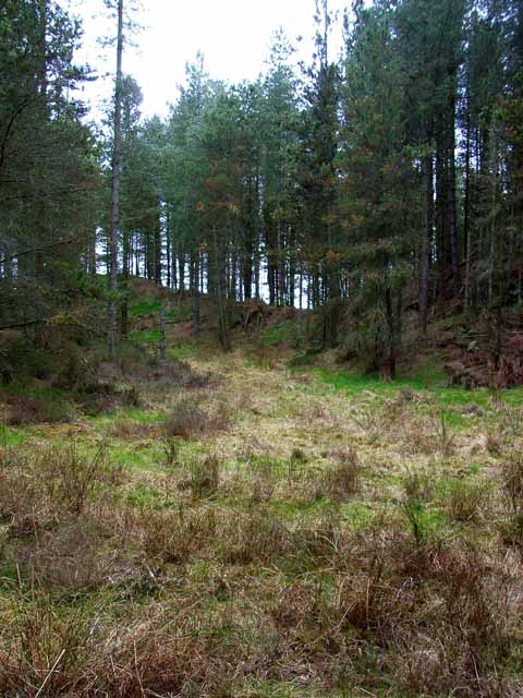
Swamps Plantation is a picturesque woodland located in the rural area of Wigtownshire, Scotland. Covering an expansive area of approximately 500 acres, it is renowned for its rich biodiversity and natural beauty. The plantation is primarily composed of dense forests and woodlands, offering a haven for various species of flora and fauna.
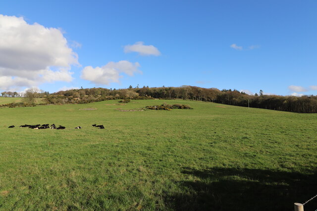
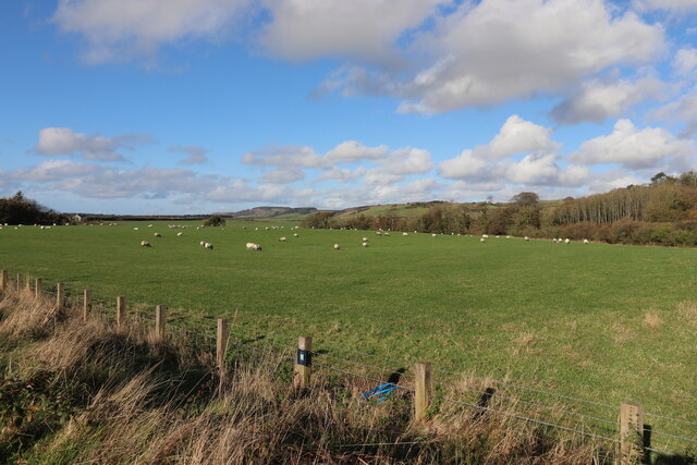
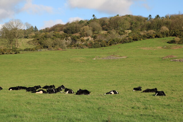
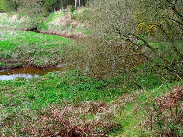
The woodland comprises a diverse range of tree species, including oak, beech, birch, and pine, which form a dense canopy overhead. This lush vegetation provides ample shade and shelter, creating an ideal habitat for a wide variety of wildlife. Visitors to Swamps Plantation can expect to encounter an array of bird species, such as woodpeckers, owls, and finches, as well as small mammals like foxes, badgers, and deer.
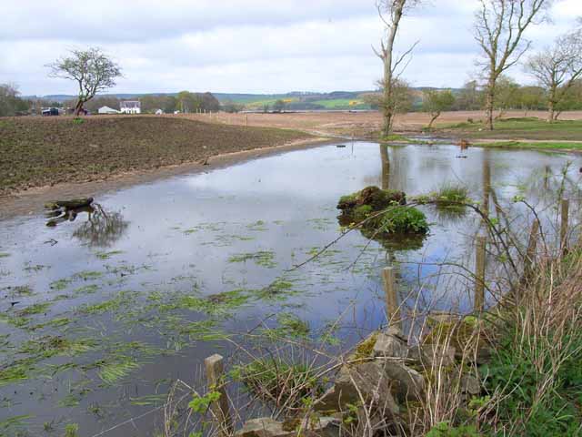
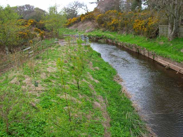
An intricate network of footpaths and trails allows visitors to explore the plantation, offering stunning views of the surrounding countryside and the nearby Loch Ryan. These paths are well-maintained, making them accessible to both seasoned hikers and casual walkers. The serene atmosphere and tranquil surroundings make Swamps Plantation an ideal destination for nature enthusiasts, photographers, and those seeking a peaceful retreat.
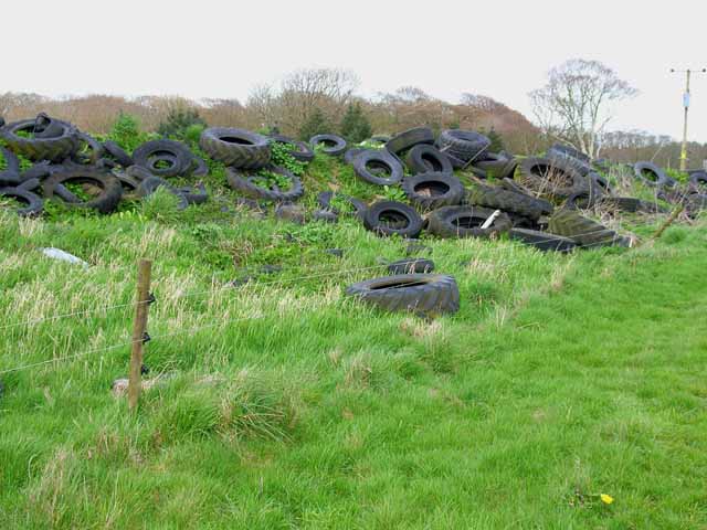
In addition to its natural beauty, Swamps Plantation also holds historical significance. The area was once home to a thriving timber industry, and remnants of old sawmills and charcoal kilns can still be found scattered throughout the woodland. These remnants offer glimpses into the plantation's past and provide an interesting insight into the local history.
Overall, Swamps Plantation in Wigtownshire is a captivating destination that showcases the beauty of Scotland's woodlands. It offers a perfect blend of natural wonders and historical charm, making it a must-visit location for anyone seeking an immersive experience in the great outdoors.
If you have any feedback on the listing, please let us know in the comments section below.
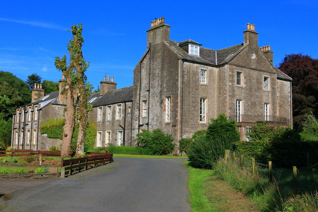
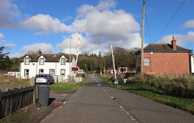
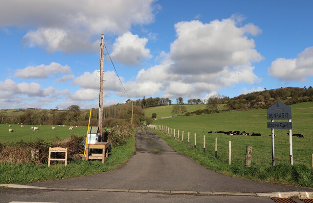
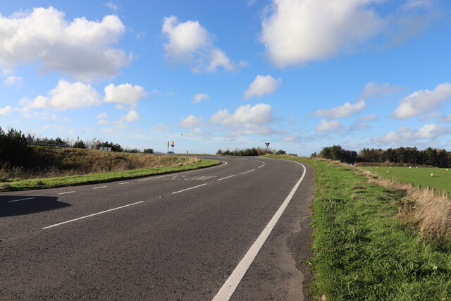
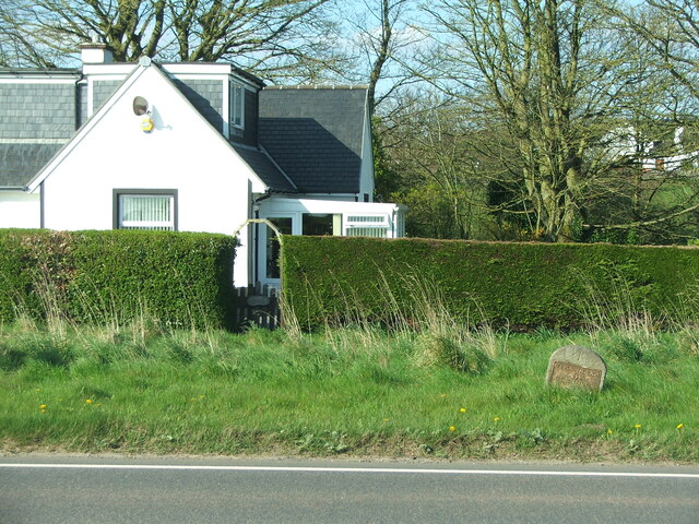
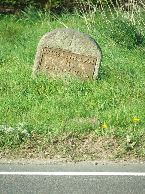
Swamps Plantation Images
Images are sourced within 2km of 54.86864/-4.8949804 or Grid Reference NX1456. Thanks to Geograph Open Source API. All images are credited.
Swamps Plantation is located at Grid Ref: NX1456 (Lat: 54.86864, Lng: -4.8949804)
Unitary Authority: Dumfries and Galloway
Police Authority: Dumfries and Galloway
What 3 Words
///ballparks.prime.frown. Near Stranraer, Dumfries & Galloway
Nearby Locations
Related Wikis
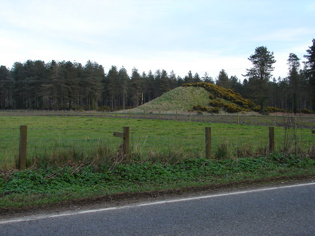
Droughdool Mote
Droughdool Mote (also spelled Droughduil) (grid reference NX 14823 56865) is a Neolithic round mound in the parish of Old Luce, Wigtownshire, Dumfries...

Dunragit railway station
Dunragit railway station served the village of Dunragit, Dumfries and Galloway, Scotland from 1861 to 1965 on the Portpatrick and Wigtownshire Joint Railway...

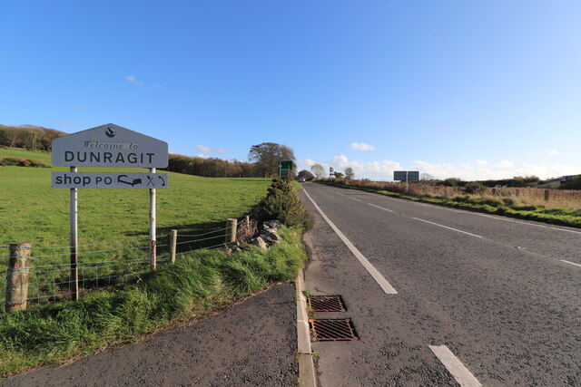
Dunragit
Dunragit (Scottish Gaelic: Dùn Reicheit) is a village on the A75, between Stranraer and Glenluce in Dumfries and Galloway, south-west Scotland. Dunragit...

Luce Bay
Luce Bay is a large bay in Wigtownshire in southern Scotland. The bay is 20 miles wide at its mouth and is bounded by the Rhins of Galloway to the west...

RAF West Freugh
RAF West Freugh is a former Royal Air Force station located in Wigtownshire, 5 miles (8 km) south east of Stranraer, Dumfries and Galloway, Scotland. It...
RAF Castle Kennedy
Royal Air Force Castle Kennedy, or more simply RAF Castle Kennedy, is a former Royal Air Force satellite station located in Castle Kennedy, Dumfries and...

Water of Luce
The Water of Luce is a river in Dumfries and Galloway, in south west Scotland.The Main Water of Luce rises in South Ayrshire, flows south to New Luce,...

Castle of Park
The Castle of Park is a 16th-century L-plan tower house near Glenluce, in the historic county of Wigtownshire in Dumfries and Galloway, Scotland. It...
Nearby Amenities
Located within 500m of 54.86864,-4.8949804Have you been to Swamps Plantation?
Leave your review of Swamps Plantation below (or comments, questions and feedback).