Kilfeddar Wood

Wood, Forest in Wigtownshire

Scotland

Kilfeddar Wood

The River Luce valley about 3 km North of New Luce village. The valley of the River Luce taken on a lovely November morning after the mist had cleared.
The River Luce valley about 3 km North of New Luce village. Credit: Colin McDonald

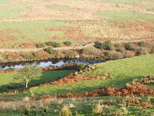
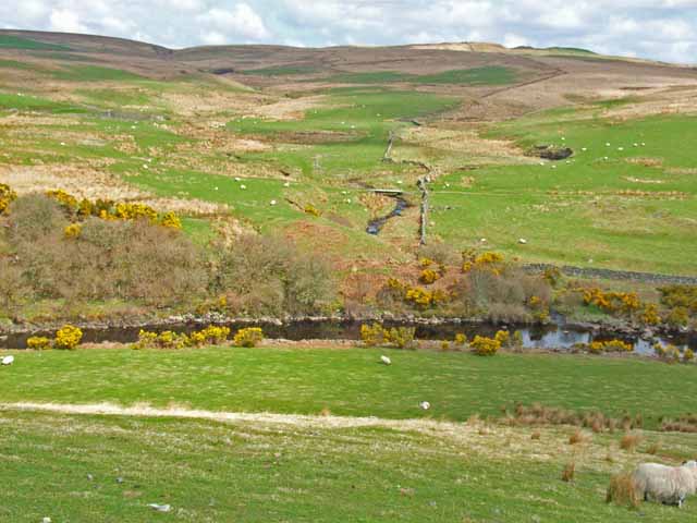
Kilfeddar Wood is a picturesque woodland located in the Wigtownshire region of southwest Scotland. Spanning over an area of approximately 200 acres, it is a captivating natural retreat that offers a serene and tranquil environment for visitors to explore.

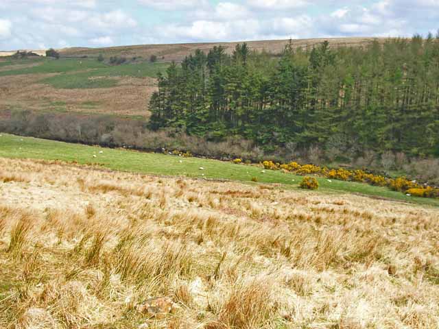
The wood is predominantly made up of a diverse range of native tree species, including oak, birch, and hazel, which create a lush and vibrant canopy above. This rich variety of trees provides a habitat for a plethora of wildlife, making it a haven for nature enthusiasts and birdwatchers. The wood is particularly renowned for its resident population of red squirrels, which can often be spotted scurrying amongst the tree branches.

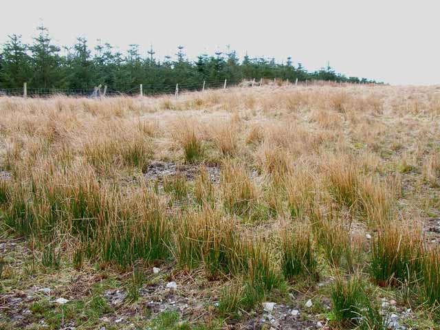
Within Kilfeddar Wood, there are a network of well-maintained trails and paths that wind their way through the forest, allowing visitors to easily navigate and enjoy the beauty of the surroundings. These paths cater to walkers and hikers of all abilities, offering a range of distances and difficulty levels.

For those seeking a peaceful spot to relax or have a picnic, there are designated areas with benches and tables scattered throughout the wood. The wood also features a small clearing with a pond, where visitors can sit and observe the local wildlife, including frogs and dragonflies.

Kilfeddar Wood is a true gem of Wigtownshire, offering a delightful escape into nature for locals and tourists alike. Its serene atmosphere, diverse flora and fauna, and well-maintained trails make it a perfect destination for those seeking tranquility and natural beauty.

If you have any feedback on the listing, please let us know in the comments section below.

Kilfeddar Wood Images

Images are sourced within 2km of 54.976906/-4.89208 or Grid Reference NX1568. Thanks to Geograph Open Source API. All images are credited.

The River Luce valley about 3 km North of New Luce village. The valley of the River Luce taken on a lovely November morning after the mist had cleared.
The River Luce valley about 3 km North of New Luce village.
The valley of the River Luce taken on a lovely November morning after the mist had cleared.
Moorland off the New Luce to Penwhirn road
Penwhirn Filter Station Established in 1955 (although the buildings in view are newer than that) in conjunction with the Penwhirn Reservoir to supply water to the Stranraer district.
Penwhirn Filter Station
Established in 1955 (although the buildings in view are newer than that) in conjunction with the Penwhirn Reservoir to supply water to the Stranraer district.
Farm road to Cairnerzean
Main Water of Luce Defunct bridge was shown as open on the 1995 Landranger map.
Main Water of Luce
Defunct bridge was shown as open on the 1995 Landranger map.
Moorland and shelter belt Just off the New Luce to Penwhirn road
Moorland and shelter belt
Just off the New Luce to Penwhirn road
Looking across the Luce valley Seen from the New Luce to Penwhirn road
Looking across the Luce valley
Seen from the New Luce to Penwhirn road
Valley of the Main Water of Luce Seen from the New Luce to Penwhirn road.
Valley of the Main Water of Luce
Seen from the New Luce to Penwhirn road.
Moorland road from New Luce to Penwhirn
Wash water holding tanks at Penwhirn Part of the installation below Penwhirn Reservoir to supply the Stranraer district with drinking water.
Wash water holding tanks at Penwhirn
Part of the installation below Penwhirn Reservoir to supply the Stranraer district with drinking water.
Bridge over Penwhirn Burn Just below Penwhirn Reservoir. The road to the right follows the Water of Luce to terminate at Lagafater Lodge [<a href="https://www.geograph.org.uk/gridref/NX1376">NX1376</a>].
Bridge over Penwhirn Burn
Just below Penwhirn Reservoir. The road to the right follows the Water of Luce to terminate at Lagafater Lodge [NX1376].
Monumental architecture at Penwhirn Filter Station Built in 1955 to provide the Stranraer district with drinking water.
Monumental architecture at Penwhirn Filter Station
Built in 1955 to provide the Stranraer district with drinking water.
Fields near Cairnerzean Looking down into the valley of the Water of Luce
Fields near Cairnerzean
Looking down into the valley of the Water of Luce
Old roadside quarry near Pularyan
Excavations at Pularyan Not too sure what is going on here.
Excavations at Pularyan
Not too sure what is going on here.
Valley of the Main Water of Luce Just below Cairnerzean. Looking upstream to where the river runs in a narrow defile.
Valley of the Main Water of Luce
Just below Cairnerzean. Looking upstream to where the river runs in a narrow defile.
The road to Penwhirn and beyond The road leads to Penwhirn reservoir, where it splits, one branch heading over the hills to come out on the shores of Loch Ryan near Craigcaffie, the other leading up over remote high moors to Lagafater, where it becomes a track eventually coming out near Ballantrae. The farm in the distance is Cairnerzean (pronounced Cairn-yan) - ?the cairn of the lamb.
The road to Penwhirn and beyond
The road leads to Penwhirn reservoir, where it splits, one branch heading over the hills to come out on the shores of Loch Ryan near Craigcaffie, the other leading up over remote high moors to Lagafater, where it becomes a track eventually coming out near Ballantrae. The farm in the distance is Cairnerzean (pronounced Cairn-yan) - ?the cairn of the lamb.
The Loup of Kilfeddar A loup is a waterfall that salmon have to leap on their way upstream. Kilfeddar = Cill Pheadair - St Peters Chapel.
The Loup of Kilfeddar
A loup is a waterfall that salmon have to leap on their way upstream. Kilfeddar = Cill Pheadair - St Peters Chapel.
Show me another place!

Kilfeddar Wood is located at Grid Ref: NX1568 (Lat: 54.976906, Lng: -4.89208)

Unitary Authority: Dumfries and Galloway

Police Authority: Dumfries and Galloway

What 3 Words

///defends.melts.mornings. Near Cairnryan, Dumfries & Galloway

Nearby Locations

Eilah Hill Kilfeddar Wood

Related Wikis

Loups of Dalnigap

Loups of Dalnigap is a waterfall of Scotland. It sits below Dalnigap House, in the South of the Lagafater Estate. == See also == Waterfalls of Scotland...

Penwhirn Reservoir

Penwhirn Reservoir, is a reservoir in Dumfries and Galloway, Scotland, approximately 3.5 miles (6 km) east of Cairnryan. The reservoir was built in the...

Glenwhilly railway station

Glenwhilly railway station served the area of Glenwhilly, Dumfries and Galloway, Scotland from 1887 to 1965 on the Girvan and Portpatrick Junction Railway...

New Luce railway station

New Luce railway station served the village of New Luce, Dumfries and Galloway, Scotland from 1887 to 1965 on the Girvan and Portpatrick Junction Railway...

Nearby Amenities

Located within 500m of 54.976906,-4.89208
Power: pole
Lat/Long: 54.9732365/-4.8944203
Power: pole
Lat/Long: 54.9735316/-4.8932371
Power: pole
Lat/Long: 54.9737297/-4.8924741
Power: pole
Lat/Long: 54.9739762/-4.8914787
Power: pole
Lat/Long: 54.9741096/-4.89092
Power: pole
Lat/Long: 54.9743683/-4.8898964
Power: pole
Lat/Long: 54.9746351/-4.8888424
Power: pole
Lat/Long: 54.9748952/-4.8878047
Power: pole
Lat/Long: 54.9751512/-4.886807
The data included in this document is from www.openstreetmap.org. The data is made available under ODbL.

Have you been to Kilfeddar Wood?

Leave your review of Kilfeddar Wood below (or comments, questions and feedback).