Spark's Wood
Wood, Forest in Wigtownshire
Scotland
Spark's Wood
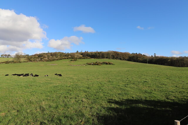
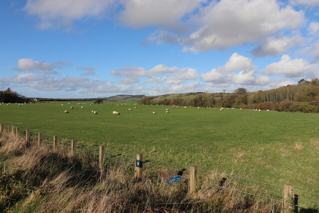
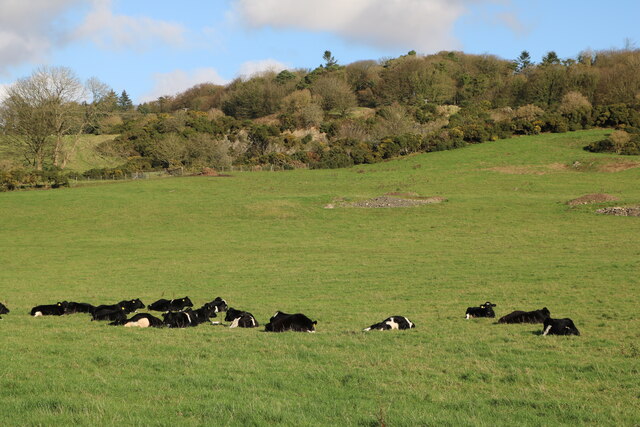
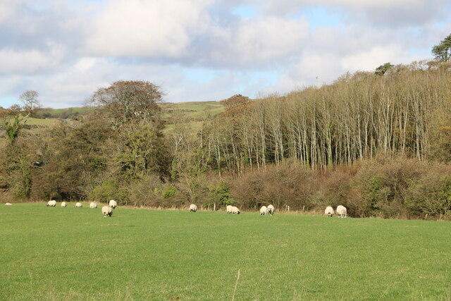
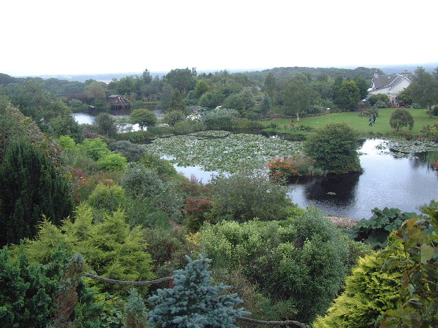
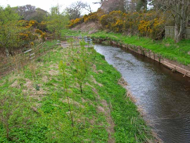
Spark's Wood is a charming forest located in the picturesque region of Wigtownshire, Scotland. Covering an area of approximately 100 acres, this woodland is a haven for nature enthusiasts and outdoor adventurers alike.
The forest is characterized by a diverse range of tree species, including oak, beech, ash, and birch, creating a vibrant and enchanting landscape throughout the year. The towering trees provide a lush canopy that offers shade during the summer months, while their vibrant colors add a stunning display during the autumn season.
Spark's Wood is renowned for its well-maintained trails that wind their way through the forest, offering visitors the opportunity to explore its beauty on foot. These trails vary in length and difficulty, catering to both casual walkers and more experienced hikers. Along the way, visitors may come across an abundance of wildlife, including deer, squirrels, and a variety of bird species.
The forest also boasts a small picnic area, providing a perfect spot for visitors to relax and enjoy a packed lunch amidst the tranquil surroundings. Additionally, there are several designated camping areas for those wishing to spend a night under the stars.
Spark's Wood is not only a natural gem but also an important site for conservation and education. Various educational programs and workshops are organized throughout the year, allowing visitors to learn more about the local flora and fauna and the importance of preserving such habitats.
Overall, Spark's Wood offers a serene and captivating experience for individuals seeking solace in nature, making it a must-visit destination for anyone exploring the Wigtownshire region.
If you have any feedback on the listing, please let us know in the comments section below.
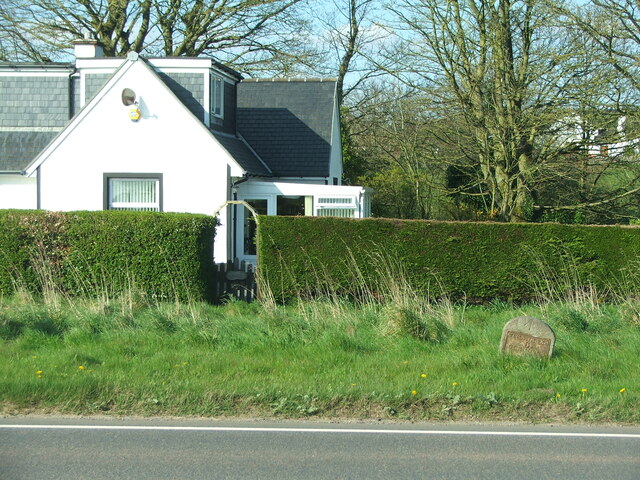
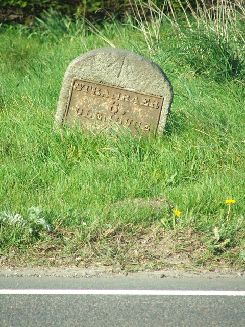
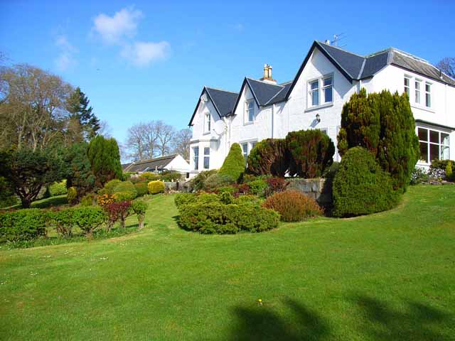
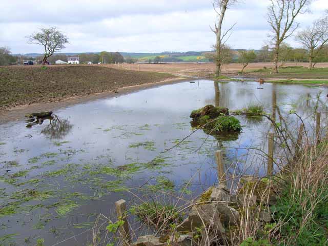
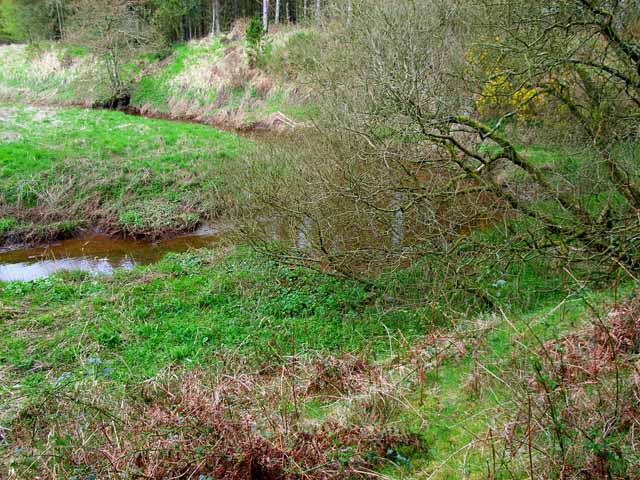
Spark's Wood Images
Images are sourced within 2km of 54.881077/-4.887281 or Grid Reference NX1457. Thanks to Geograph Open Source API. All images are credited.
Spark's Wood is located at Grid Ref: NX1457 (Lat: 54.881077, Lng: -4.887281)
Unitary Authority: Dumfries and Galloway
Police Authority: Dumfries and Galloway
What 3 Words
///hoped.incurs.playroom. Near Stranraer, Dumfries & Galloway
Nearby Locations
Related Wikis

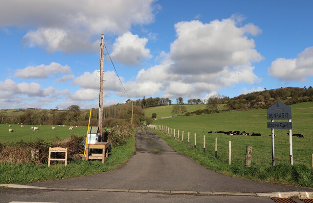
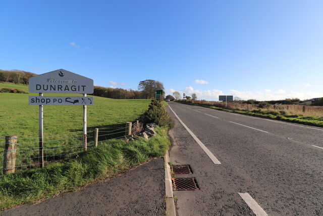
Dunragit
Dunragit (Scottish Gaelic: Dùn Reicheit) is a village on the A75, between Stranraer and Glenluce in Dumfries and Galloway, south-west Scotland. Dunragit...

Dunragit railway station
Dunragit railway station served the village of Dunragit, Dumfries and Galloway, Scotland from 1861 to 1965 on the Portpatrick and Wigtownshire Joint Railway...
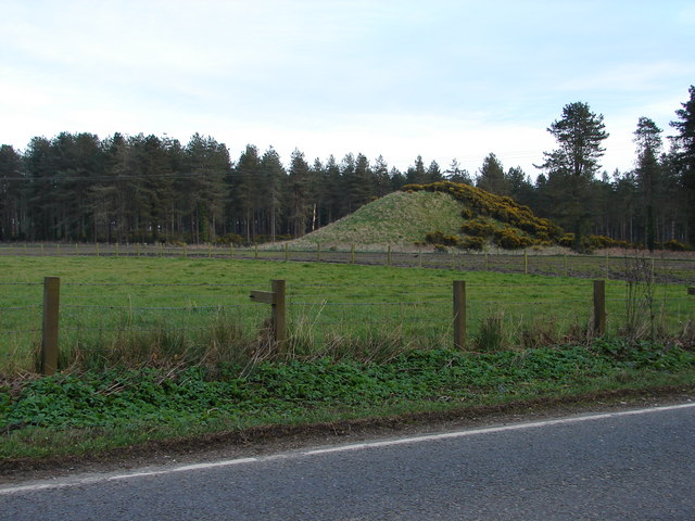
Droughdool Mote
Droughdool Mote (also spelled Droughduil) (grid reference NX 14823 56865) is a Neolithic round mound in the parish of Old Luce, Wigtownshire, Dumfries...
RAF Castle Kennedy
Royal Air Force Castle Kennedy, or more simply RAF Castle Kennedy, is a former Royal Air Force satellite station located in Castle Kennedy, Dumfries and...
Nearby Amenities
Located within 500m of 54.881077,-4.887281Have you been to Spark's Wood?
Leave your review of Spark's Wood below (or comments, questions and feedback).