Dunragit
Settlement in Wigtownshire
Scotland
Dunragit
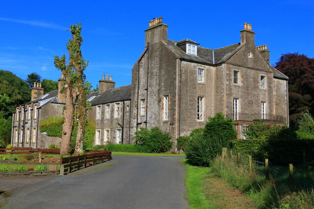
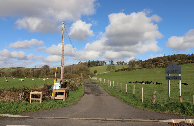
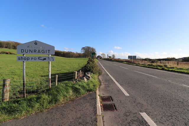
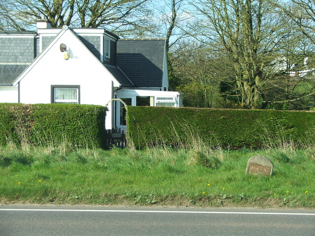
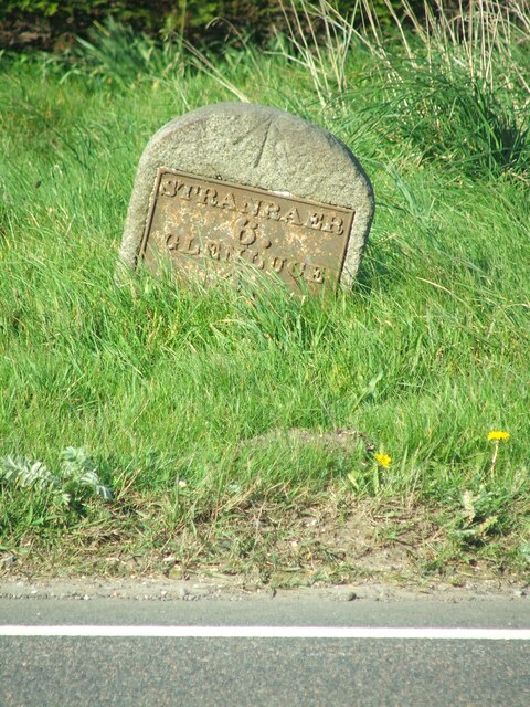
Dunragit is a small village situated in the historical county of Wigtownshire, located in the southwest region of Scotland. It lies approximately 4 miles east of the town of Stranraer and is nestled in a picturesque rural setting.
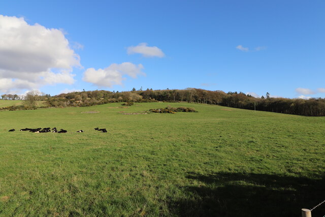
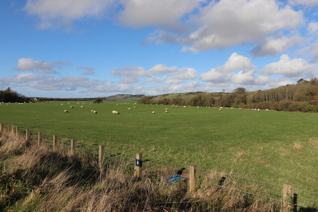
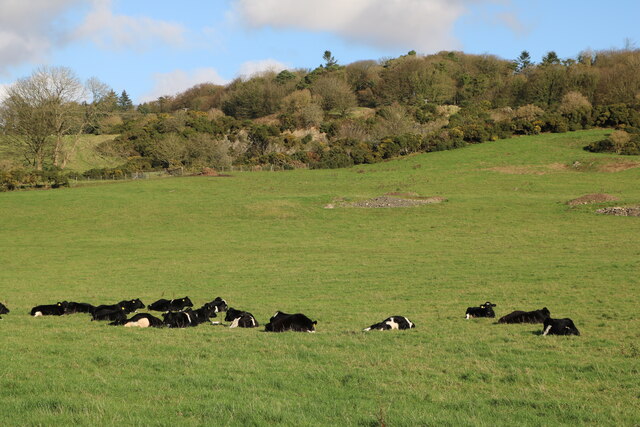
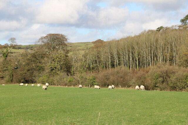
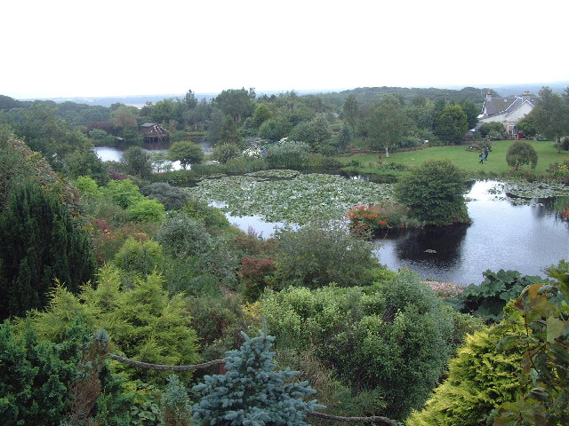
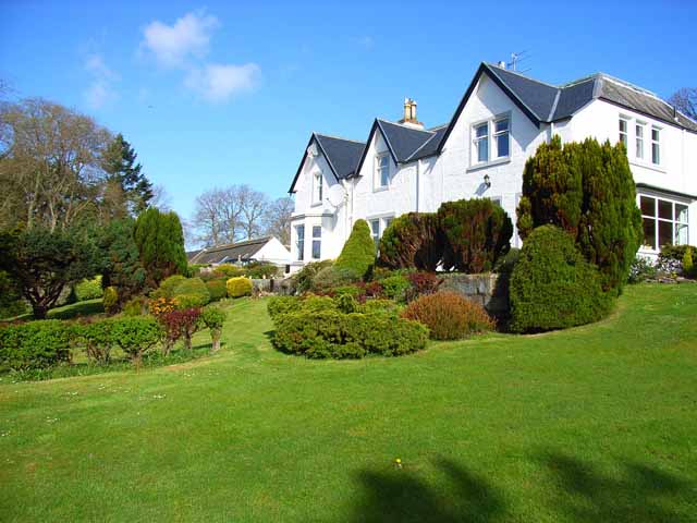
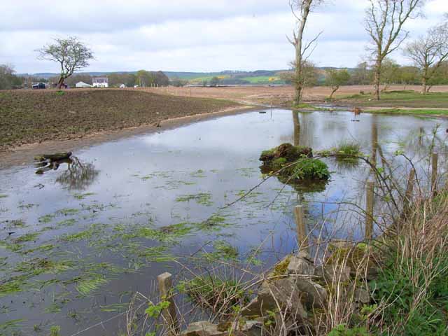
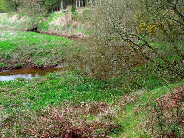
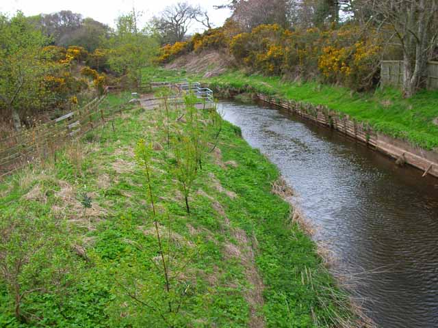
This charming village has a population of around 300 residents and is known for its tranquil atmosphere and stunning natural surroundings. The landscape is characterized by rolling hills, lush green fields, and the nearby Loch Ryan, which adds to the village's scenic beauty.
Dunragit is steeped in history and boasts several notable landmarks and archaeological sites. One of the village's prominent features is Dunragit Hill, a small hill that is home to an ancient fort. This Iron Age settlement is believed to have been inhabited from around 500 BC until the Roman period.
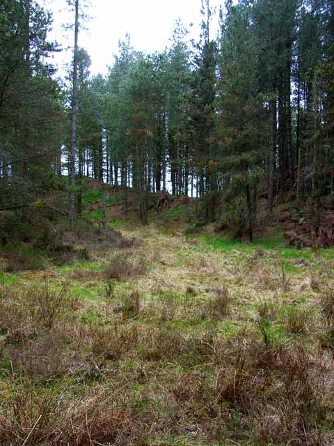
In addition to its historical significance, Dunragit also offers a range of amenities for both residents and visitors. The village has a primary school, a community hall, and a pub, providing a hub for social activities. Outdoor enthusiasts can take advantage of the numerous walking paths and cycling routes that crisscross the surrounding countryside.
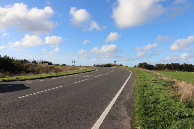
The village's close proximity to Stranraer allows residents to access a wider range of services, including supermarkets, shops, restaurants, and leisure facilities. The area is also well-connected with public transportation, making it easily accessible for those wishing to explore the nearby attractions and coastal areas.
Overall, Dunragit is a charming village that combines a rich historical heritage with a peaceful rural setting, offering residents and visitors a tranquil escape in the heart of Wigtownshire.
If you have any feedback on the listing, please let us know in the comments section below.
Dunragit Images
Images are sourced within 2km of 54.878404/-4.887817 or Grid Reference NX1457. Thanks to Geograph Open Source API. All images are credited.
Dunragit is located at Grid Ref: NX1457 (Lat: 54.878404, Lng: -4.887817)
Unitary Authority: Dumfries and Galloway
Police Authority: Dumfries and Galloway
What 3 Words
///composts.abandons.unionists. Near Stranraer, Dumfries & Galloway
Nearby Locations
Related Wikis

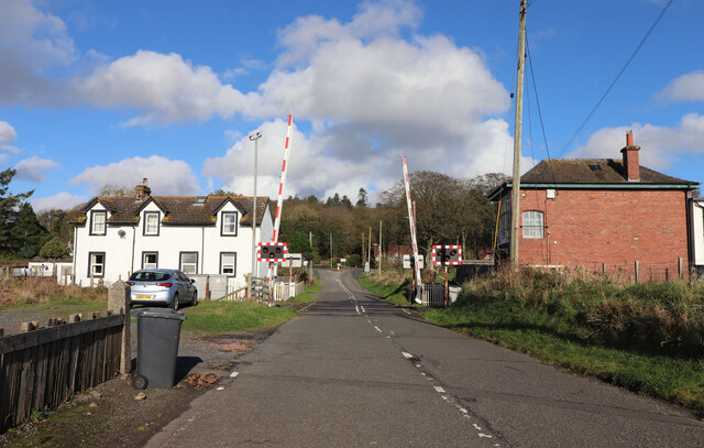
Dunragit railway station
Dunragit railway station served the village of Dunragit, Dumfries and Galloway, Scotland from 1861 to 1965 on the Portpatrick and Wigtownshire Joint Railway...

Dunragit
Dunragit (Scottish Gaelic: Dùn Reicheit) is a village on the A75, between Stranraer and Glenluce in Dumfries and Galloway, south-west Scotland. Dunragit...
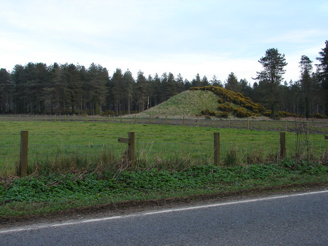
Droughdool Mote
Droughdool Mote (also spelled Droughduil) (grid reference NX 14823 56865) is a Neolithic round mound in the parish of Old Luce, Wigtownshire, Dumfries...
RAF Castle Kennedy
Royal Air Force Castle Kennedy, or more simply RAF Castle Kennedy, is a former Royal Air Force satellite station located in Castle Kennedy, Dumfries and...
Nearby Amenities
Located within 500m of 54.878404,-4.887817Have you been to Dunragit?
Leave your review of Dunragit below (or comments, questions and feedback).