Fox Wood
Wood, Forest in Wigtownshire
Scotland
Fox Wood
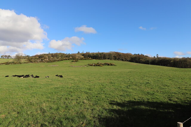
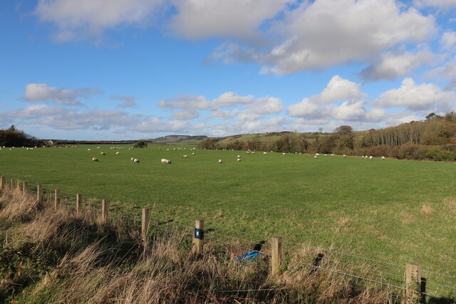
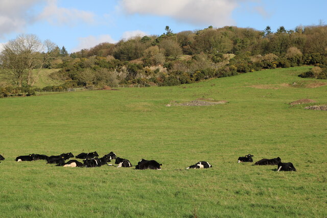
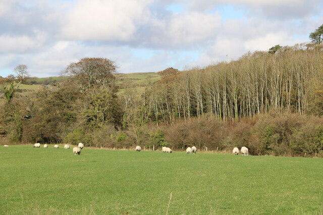
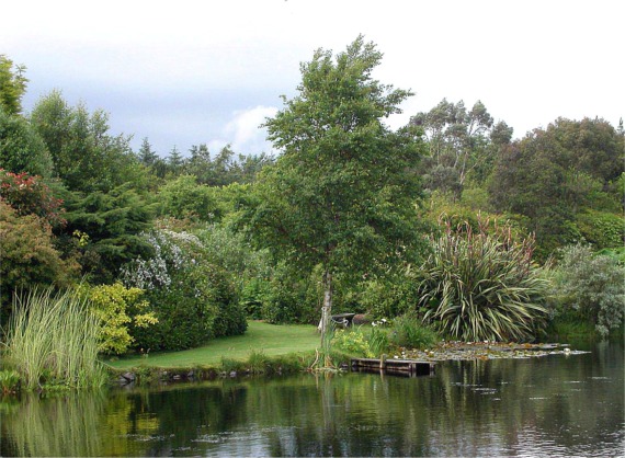
Fox Wood is a picturesque woodland located in Wigtownshire, a region in the southwest of Scotland. Situated near the town of Wigtown, this enchanting forest covers an area of approximately 200 acres, making it a significant natural attraction in the area.
The wood is predominantly composed of native tree species, including oak, birch, and beech, which create a diverse and lush ecosystem. The dense canopy provides a haven for a variety of wildlife, making it an ideal spot for nature enthusiasts and birdwatchers. Visitors may catch a glimpse of red squirrels, roe deer, and various species of birds such as woodpeckers, owls, and finches.
Tranquility and serenity characterize Fox Wood, making it a popular destination for those seeking a peaceful escape from the hustle and bustle of daily life. The woodland is crisscrossed with well-maintained footpaths, allowing visitors to explore the area at their own pace. Along these winding paths, one can discover hidden streams, glades carpeted with wildflowers, and ancient moss-covered stone walls.
In addition to its natural beauty, Fox Wood holds historical significance. It is believed that the wood was once part of the hunting grounds of Scottish monarchs, and remnants of ancient hunting lodges can still be found within its boundaries.
Whether one is a nature enthusiast, history buff, or simply seeking solace in a tranquil environment, Fox Wood offers a delightful experience for all who visit.
If you have any feedback on the listing, please let us know in the comments section below.
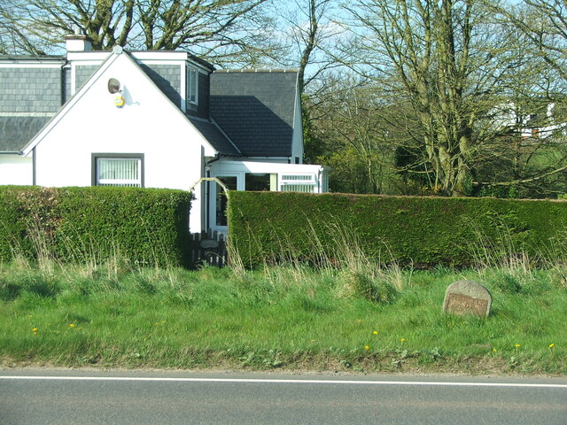
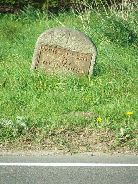
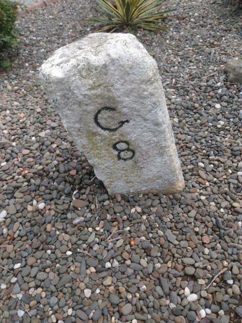
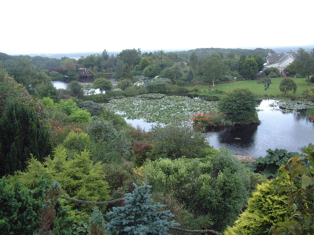
Fox Wood Images
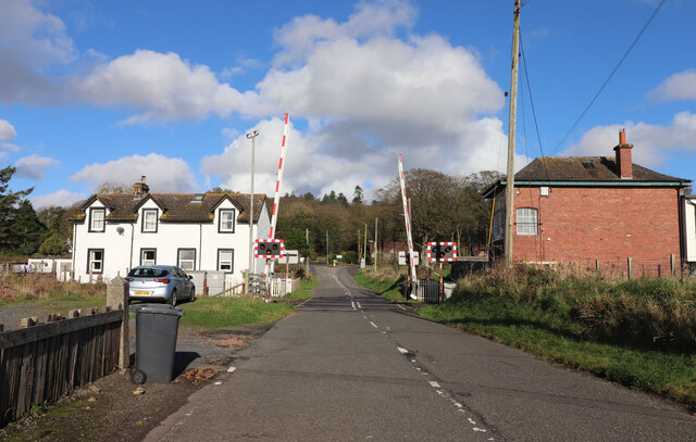
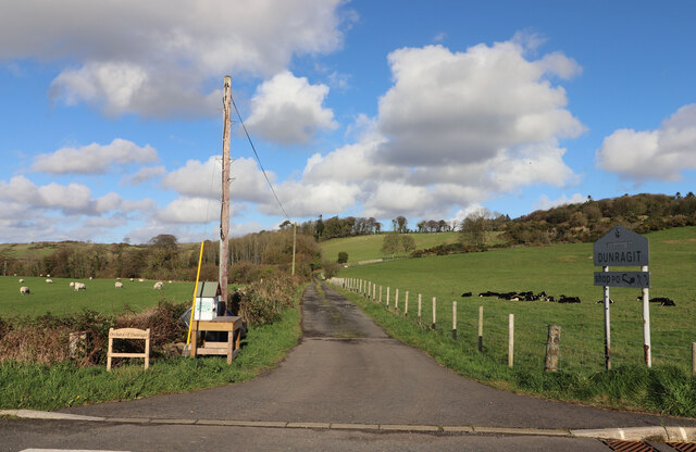
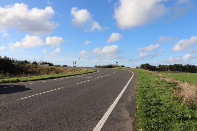
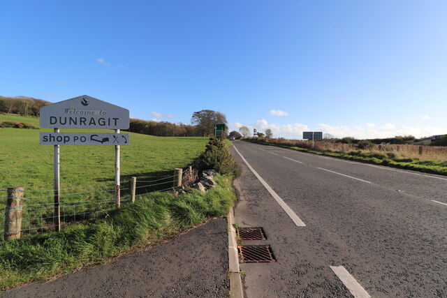
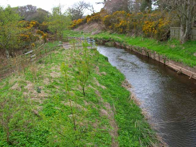
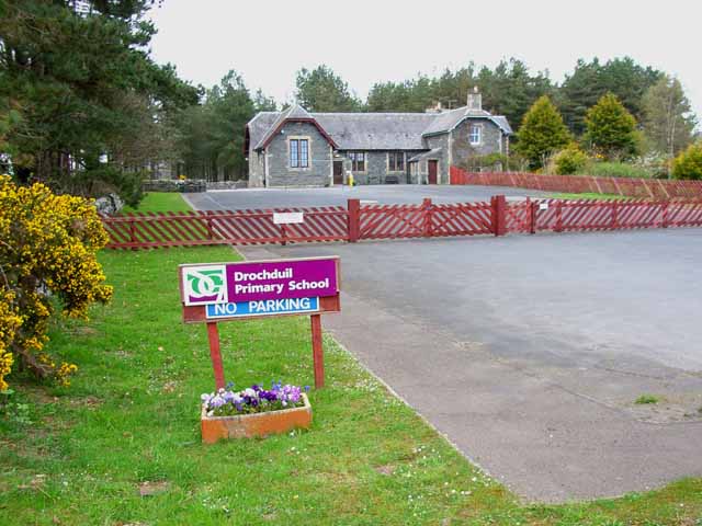
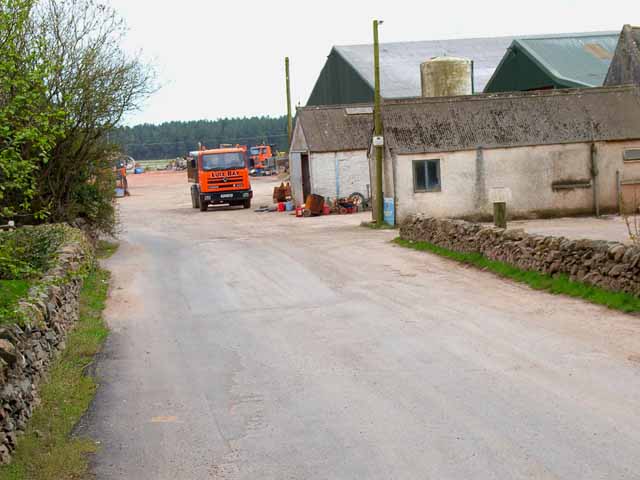
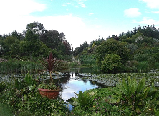
Images are sourced within 2km of 54.885594/-4.8878694 or Grid Reference NX1458. Thanks to Geograph Open Source API. All images are credited.
Fox Wood is located at Grid Ref: NX1458 (Lat: 54.885594, Lng: -4.8878694)
Unitary Authority: Dumfries and Galloway
Police Authority: Dumfries and Galloway
What 3 Words
///cave.outhouse.scoots. Near Stranraer, Dumfries & Galloway
Nearby Locations
Related Wikis

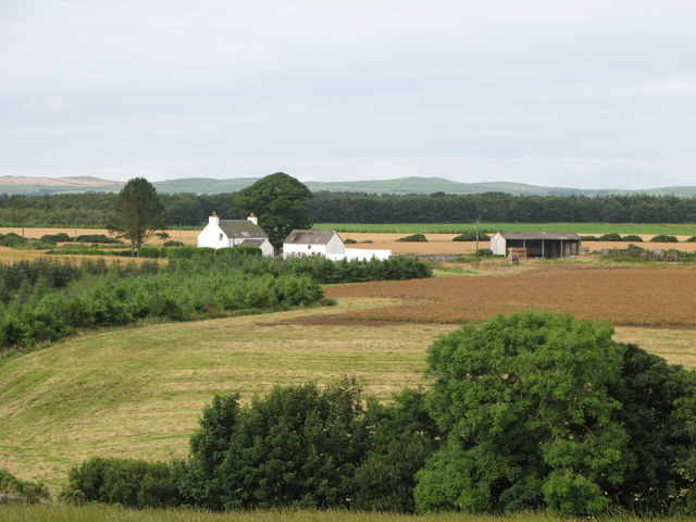
Dunragit
Dunragit (Scottish Gaelic: Dùn Reicheit) is a village on the A75, between Stranraer and Glenluce in Dumfries and Galloway, south-west Scotland. Dunragit...

Dunragit railway station
Dunragit railway station served the village of Dunragit, in the historic county of Wigtownshire in the administrative area of Dumfries and Galloway, Scotland...
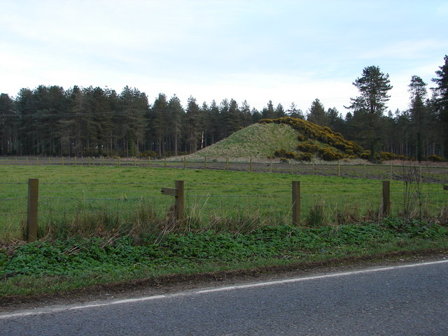
Droughdool Mote
Droughdool Mote (also spelled Droughduil) (grid reference NX 14823 56865) is a Neolithic round mound in the parish of Old Luce, Wigtownshire, Dumfries...
RAF Castle Kennedy
Royal Air Force Castle Kennedy, or more simply RAF Castle Kennedy, is a former Royal Air Force satellite station located in Castle Kennedy, Dumfries and...
Nearby Amenities
Located within 500m of 54.885594,-4.8878694Have you been to Fox Wood?
Leave your review of Fox Wood below (or comments, questions and feedback).