Orchard Glen Wood
Wood, Forest in Wigtownshire
Scotland
Orchard Glen Wood
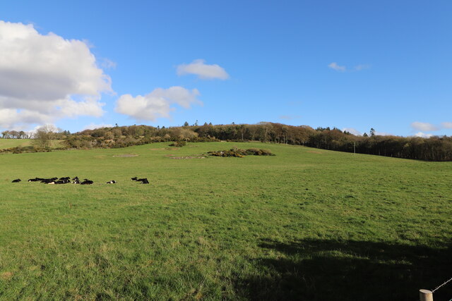
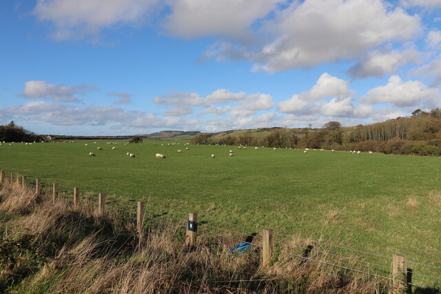
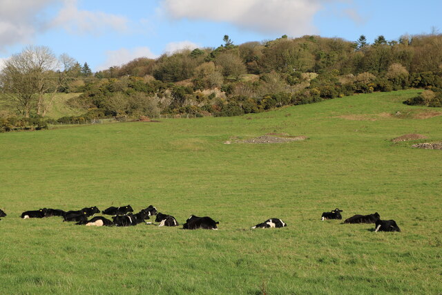
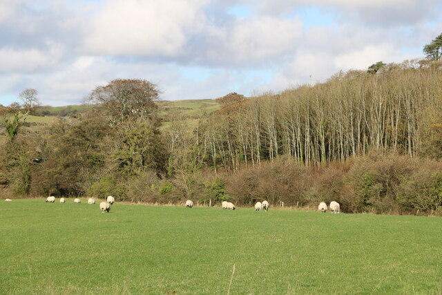
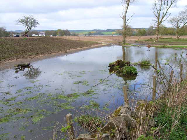
Orchard Glen Wood is a picturesque woodland located in Wigtownshire, Scotland. Situated in the heart of the region, this enchanting forest covers an area of approximately 100 acres, offering visitors a delightful escape into nature. The wood is known for its diverse range of tree species, including oak, beech, and birch, which create a stunning tapestry of colors throughout the seasons.
As one ventures into Orchard Glen Wood, they are immediately captivated by the tranquil atmosphere and the soothing sounds of chirping birds and rustling leaves. The forest floor is carpeted with a rich layer of moss and ferns, providing a lush habitat for a variety of wildlife, such as red squirrels, roe deer, and an array of bird species.
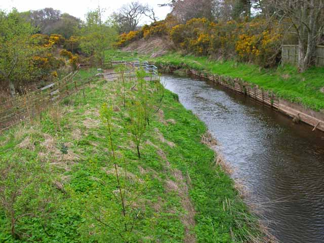
Numerous walking trails wind their way through the wood, inviting both casual strollers and avid hikers to explore its hidden treasures. These paths lead visitors to charming spots within the forest, including a small stream that meanders through the trees, adding to the overall serenity of the environment.
Orchard Glen Wood is also home to a number of ancient ruins and historical sites, adding a touch of intrigue to the natural beauty. Visitors can stumble upon remnants of old stone walls, indicating human habitation in the area dating back centuries.
Whether one seeks a peaceful retreat, an opportunity to reconnect with nature, or a chance to uncover the secrets of the past, Orchard Glen Wood in Wigtownshire promises an unforgettable experience for all who venture into its enchanting embrace.
If you have any feedback on the listing, please let us know in the comments section below.
Orchard Glen Wood Images
Images are sourced within 2km of 54.884338/-4.892676 or Grid Reference NX1458. Thanks to Geograph Open Source API. All images are credited.


Orchard Glen Wood is located at Grid Ref: NX1458 (Lat: 54.884338, Lng: -4.892676)
Unitary Authority: Dumfries and Galloway
Police Authority: Dumfries and Galloway
What 3 Words
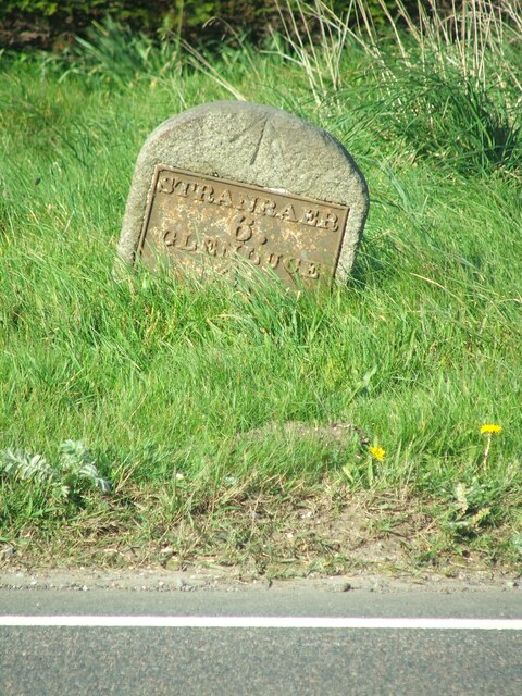
///bats.safety.corrode. Near Stranraer, Dumfries & Galloway
Nearby Locations
Related Wikis

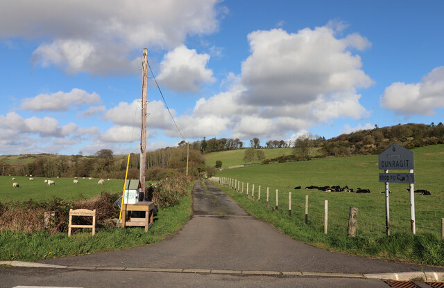
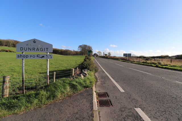
Dunragit
Dunragit (Scottish Gaelic: Dùn Reicheit) is a village on the A75, between Stranraer and Glenluce in Dumfries and Galloway, south-west Scotland. Dunragit...

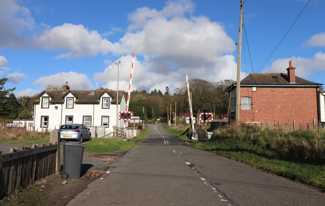
Dunragit railway station
Dunragit railway station served the village of Dunragit, Dumfries and Galloway, Scotland from 1861 to 1965 on the Portpatrick and Wigtownshire Joint Railway...
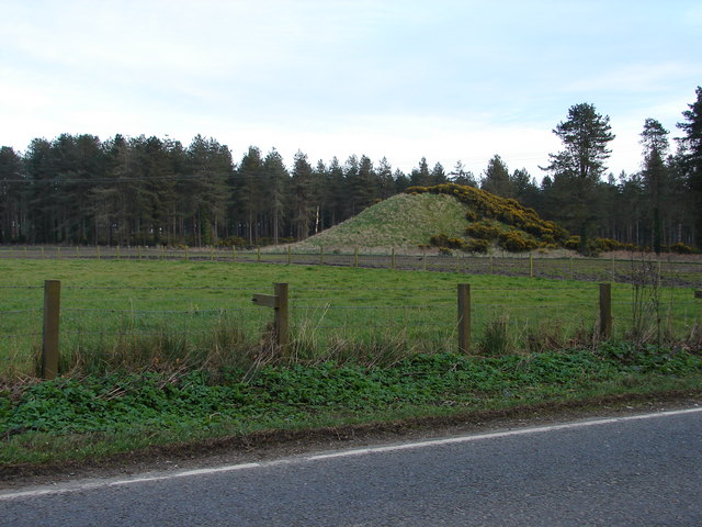
Droughdool Mote
Droughdool Mote (also spelled Droughduil) (grid reference NX 14823 56865) is a Neolithic round mound in the parish of Old Luce, Wigtownshire, Dumfries...
RAF Castle Kennedy
Royal Air Force Castle Kennedy, or more simply RAF Castle Kennedy, is a former Royal Air Force satellite station located in Castle Kennedy, Dumfries and...

Glenluce Abbey
Glenluce Abbey, near to Glenluce, Scotland, was a Cistercian monastery called also Abbey of Luce or Vallis Lucis and founded around 1190 by Rolland or...
Castle Kennedy
Castle Kennedy is a small village 3 miles (4.8 km) east of Stranraer in Dumfries and Galloway, south-west Scotland. It is on the A75 road, and is within...

Castle Kennedy railway station
Castle Kennedy railway station served the village of Castle Kennedy, Dumfries and Galloway, Scotland from 1861 to 1965 on the Portpatrick and Wigtownshire...

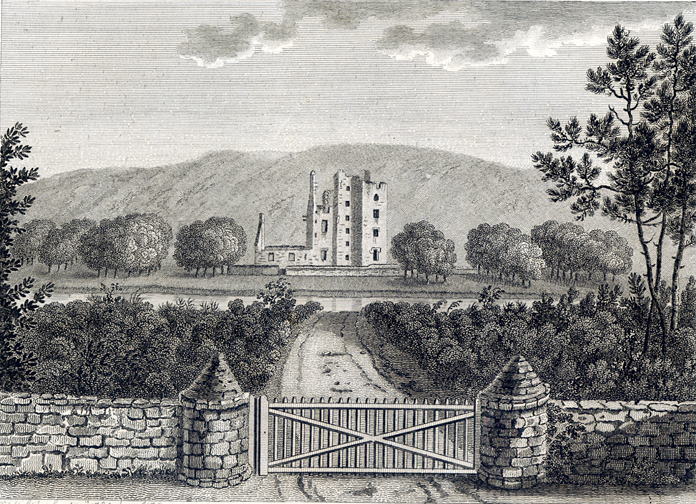
Castle of Park
The Castle of Park is a 16th-century L-plan tower house near Glenluce, in the historic county of Wigtownshire in Dumfries and Galloway, Scotland. It...
Related Videos

The forgotten PICTURESQUE harbour village of PORTPATRICK the Rhins of Galloway in SCOTLAND
Join me as we explore the seemingly forgotten picturesque harbour village of Portpatrick the Rhins of Galloway in Scotland.


Portpatrick
Portpatrick 3rd August 2020.
Nearby Amenities
Located within 500m of 54.884338,-4.892676Have you been to Orchard Glen Wood?
Leave your review of Orchard Glen Wood below (or comments, questions and feedback).