Lodge Plantation
Wood, Forest in Wigtownshire
Scotland
Lodge Plantation
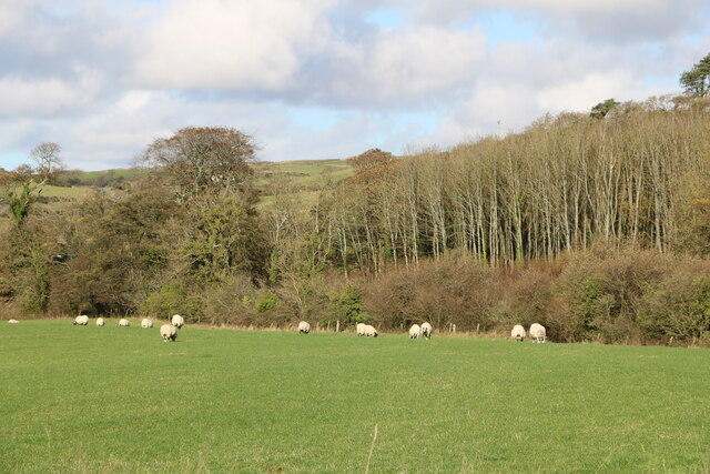
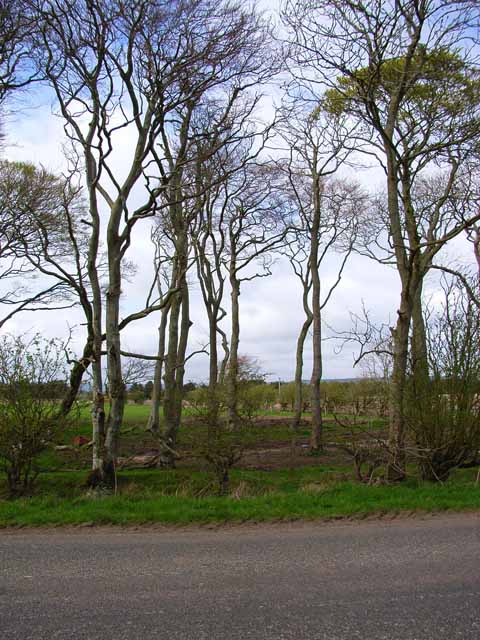
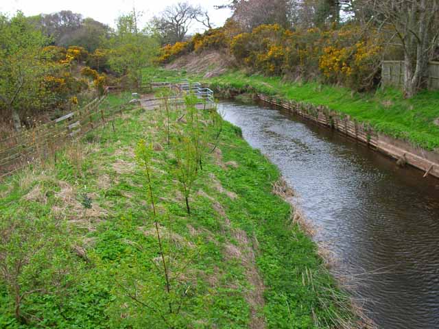
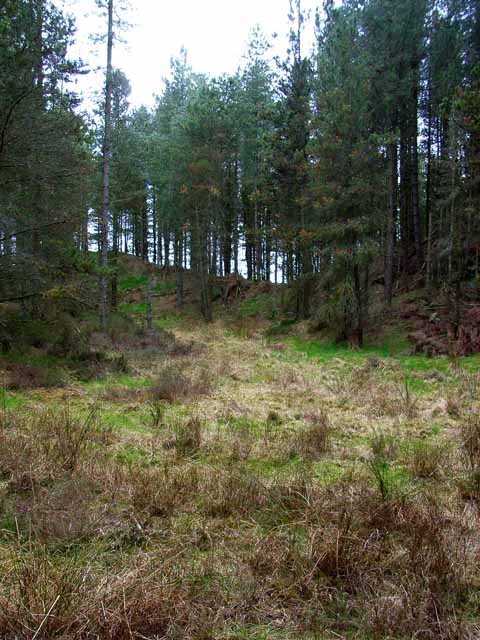
Lodge Plantation is a picturesque woodland located in Wigtownshire, a historic county in the southwestern region of Scotland. Covering an area of approximately 100 hectares, this forested area is renowned for its natural beauty and diverse range of flora and fauna.
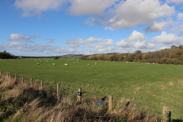
The plantation is primarily composed of mixed woodland, with a variety of tree species including oak, beech, birch, and pine. These towering trees provide a canopy of shade in the summer months and a burst of vibrant colors in the autumn. The forest floor is carpeted with an array of wildflowers, ferns, and mosses, creating a serene and enchanting atmosphere.
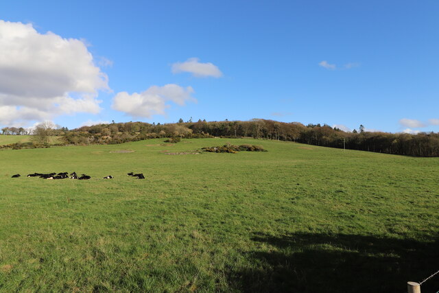
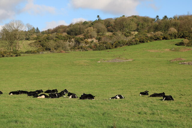
The Lodge Plantation is also home to a wide range of wildlife. Birdwatchers can spot various species, including woodpeckers, owls, and thrushes. Squirrels, badgers, and rabbits can be seen scurrying through the undergrowth, while deer gracefully roam the woodland.
The forest offers a network of well-maintained trails, providing ample opportunities for hikers, nature enthusiasts, and families to explore and appreciate the natural surroundings. The peaceful atmosphere and tranquil setting make it an ideal spot for nature walks, picnics, and photography.
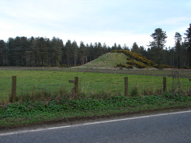
In addition to its natural beauty, Lodge Plantation has historical significance. The woodland was once part of a larger estate and is dotted with remnants of old stone walls and agricultural structures, adding a touch of nostalgia to the landscape.
Overall, Lodge Plantation in Wigtownshire is a haven for those seeking tranquility and a connection with nature. Its diverse flora and fauna, well-maintained trails, and historical remnants make it a must-visit destination for locals and tourists alike.
If you have any feedback on the listing, please let us know in the comments section below.
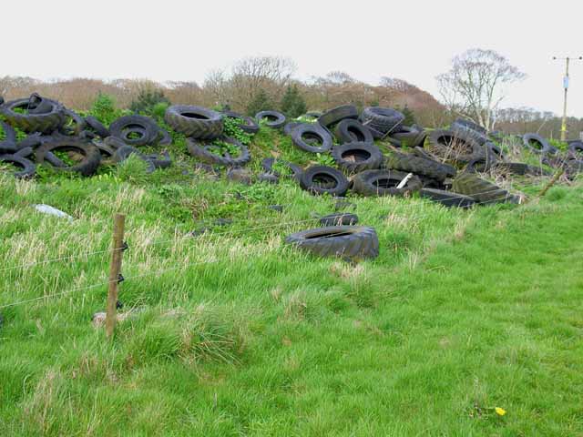
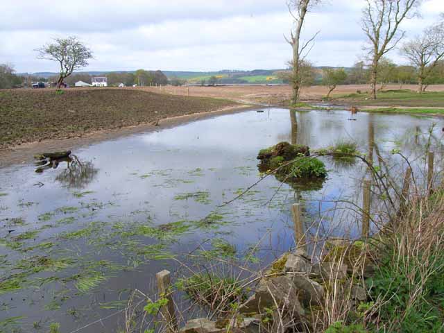
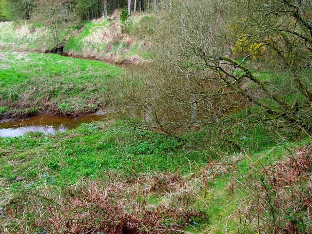
Lodge Plantation Images
Images are sourced within 2km of 54.866538/-4.9005502 or Grid Reference NX1356. Thanks to Geograph Open Source API. All images are credited.
Lodge Plantation is located at Grid Ref: NX1356 (Lat: 54.866538, Lng: -4.9005502)
Unitary Authority: Dumfries and Galloway
Police Authority: Dumfries and Galloway
What 3 Words
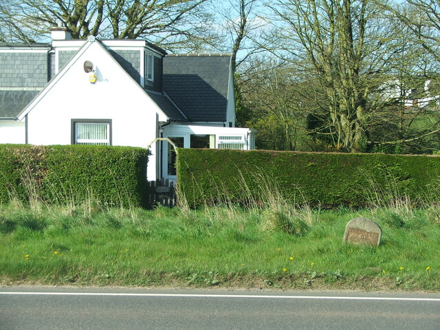
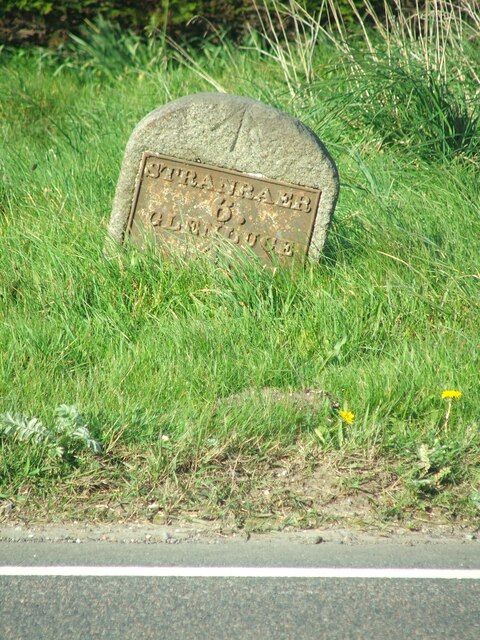
///live.revolting.village. Near Stranraer, Dumfries & Galloway
Nearby Locations
Related Wikis
Droughdool Mote
Droughdool Mote (also spelled Droughduil) (grid reference NX 14823 56865) is a Neolithic round mound in the parish of Old Luce, Wigtownshire, Dumfries...

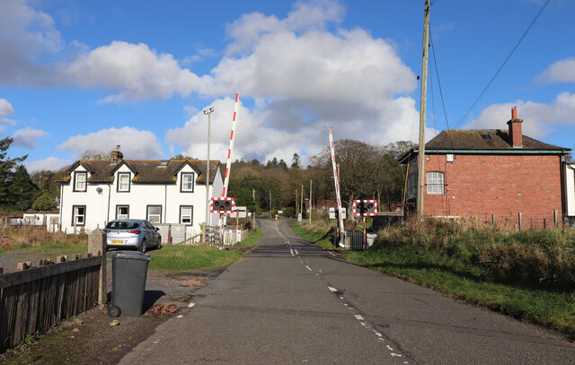
Dunragit railway station
Dunragit railway station served the village of Dunragit, Dumfries and Galloway, Scotland from 1861 to 1965 on the Portpatrick and Wigtownshire Joint Railway...

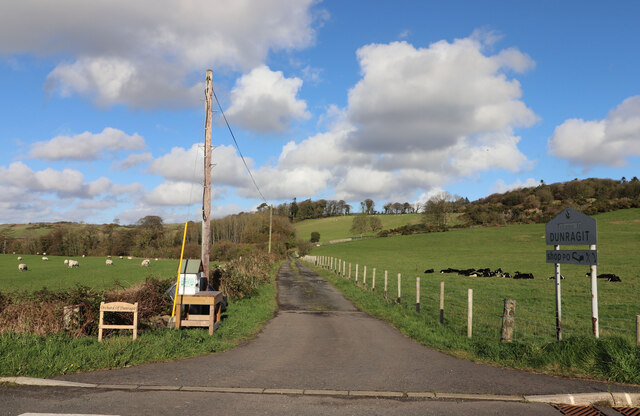
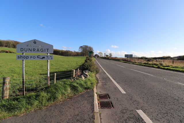
Dunragit
Dunragit (Scottish Gaelic: Dùn Reicheit) is a village on the A75, between Stranraer and Glenluce in Dumfries and Galloway, south-west Scotland. Dunragit...

Luce Bay
Luce Bay is a large bay in Wigtownshire in southern Scotland. The bay is 20 miles wide at its mouth and is bounded by the Rhins of Galloway to the west...

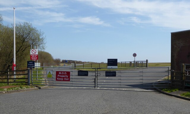
RAF West Freugh
RAF West Freugh is a former Royal Air Force station located in Wigtownshire, 5 miles (8 km) south east of Stranraer, Dumfries and Galloway, Scotland. It...
RAF Castle Kennedy
Royal Air Force Castle Kennedy, or more simply RAF Castle Kennedy, is a former Royal Air Force satellite station located in Castle Kennedy, Dumfries and...

Castle Kennedy railway station
Castle Kennedy railway station served the village of Castle Kennedy, Dumfries and Galloway, Scotland from 1861 to 1965 on the Portpatrick and Wigtownshire...

Soulseat Abbey
Saulseat or Soulseat Abbey was a Premonstratensian monastic community located in Wigtownshire, Galloway, in the Gaelic-speaking south-west of Scotland...
Nearby Amenities
Located within 500m of 54.866538,-4.9005502Have you been to Lodge Plantation?
Leave your review of Lodge Plantation below (or comments, questions and feedback).