Laight Yard Plantation
Wood, Forest in Wigtownshire
Scotland
Laight Yard Plantation
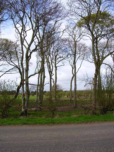
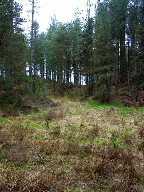
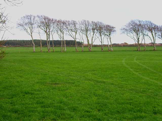
Laight Yard Plantation is a picturesque woodland located in Wigtownshire, Scotland. Covering an area of approximately 200 acres, the plantation is well-known for its diverse range of tree species and its serene natural beauty.
The woodland is predominantly made up of native trees such as oak, beech, and birch, providing a lush and vibrant habitat for various flora and fauna. The dense canopy of the trees creates a shaded and cool environment, making it a perfect destination for nature enthusiasts, hikers, and birdwatchers.
Laight Yard Plantation boasts several well-maintained trails that wind through the woodland, allowing visitors to explore its tranquil surroundings. The trails are clearly marked and offer a range of difficulty levels, catering to both casual walkers and more experienced hikers.
The plantation is also home to a diverse range of wildlife. Birdwatchers will be delighted to spot various species such as woodpeckers, owls, and finches, while mammal enthusiasts may catch a glimpse of red squirrels, badgers, and deer. The plantation's management actively promotes conservation efforts and strives to maintain the delicate balance of the ecosystem.
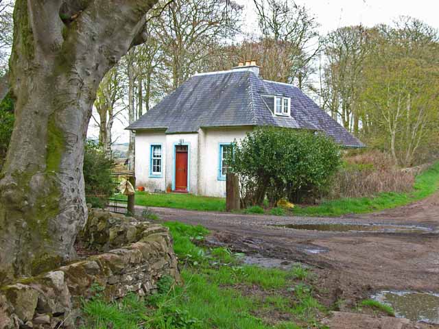
Visitors to Laight Yard Plantation can enjoy a peaceful retreat in nature, taking in the sights and sounds of the woodland. The plantation's idyllic setting, combined with its rich biodiversity, makes it a popular destination for both locals and tourists alike.
If you have any feedback on the listing, please let us know in the comments section below.
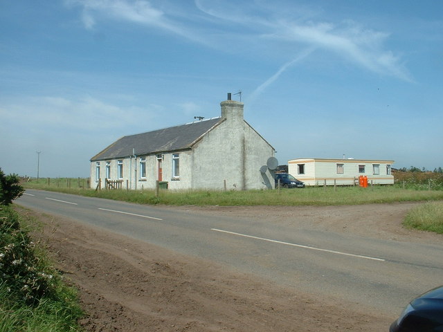
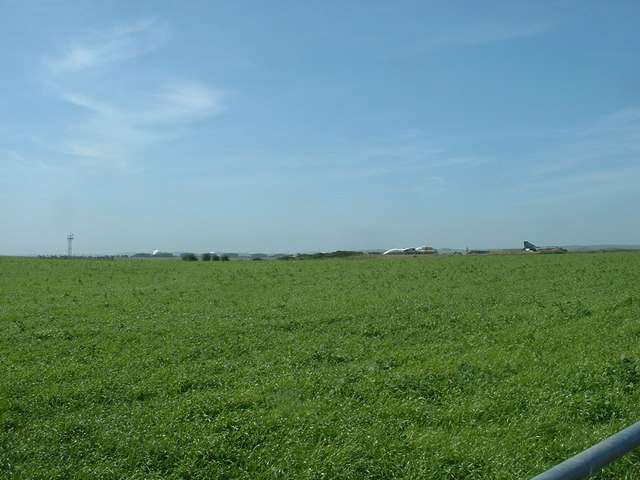
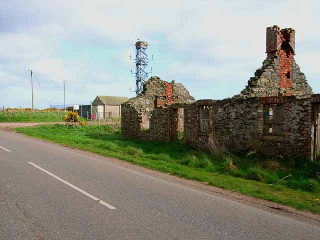
Laight Yard Plantation Images
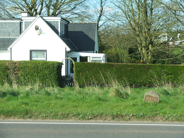
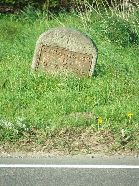
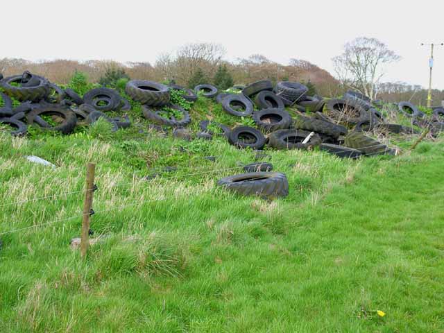
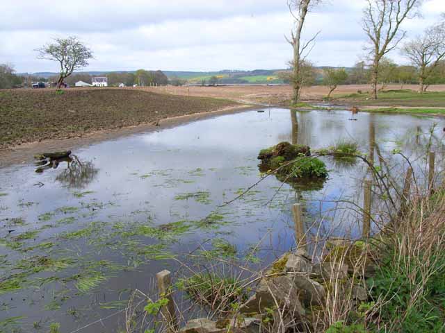
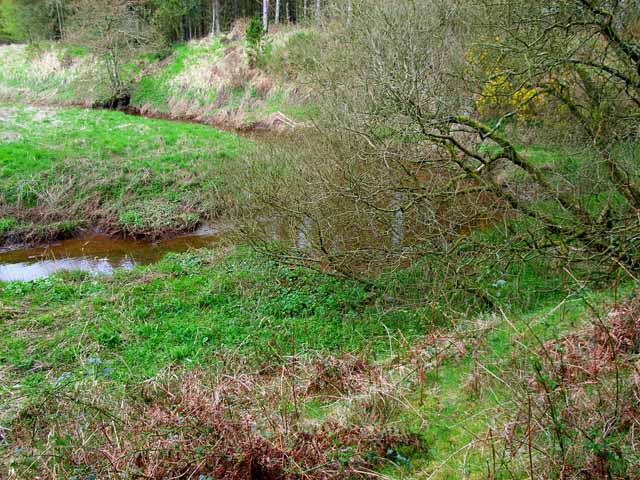
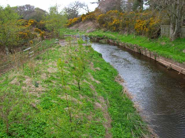
Images are sourced within 2km of 54.865213/-4.9126907 or Grid Reference NX1356. Thanks to Geograph Open Source API. All images are credited.
Laight Yard Plantation is located at Grid Ref: NX1356 (Lat: 54.865213, Lng: -4.9126907)
Unitary Authority: Dumfries and Galloway
Police Authority: Dumfries and Galloway
What 3 Words
///before.decompose.muscular. Near Stranraer, Dumfries & Galloway
Nearby Locations
Related Wikis
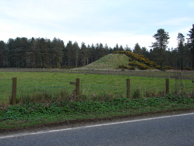
Droughdool Mote
Droughdool Mote (also spelled Droughduil) (grid reference NX 14823 56865) is a Neolithic round mound in the parish of Old Luce, Wigtownshire, Dumfries...

Dunragit railway station
Dunragit railway station served the village of Dunragit, Dumfries and Galloway, Scotland from 1861 to 1965 on the Portpatrick and Wigtownshire Joint Railway...

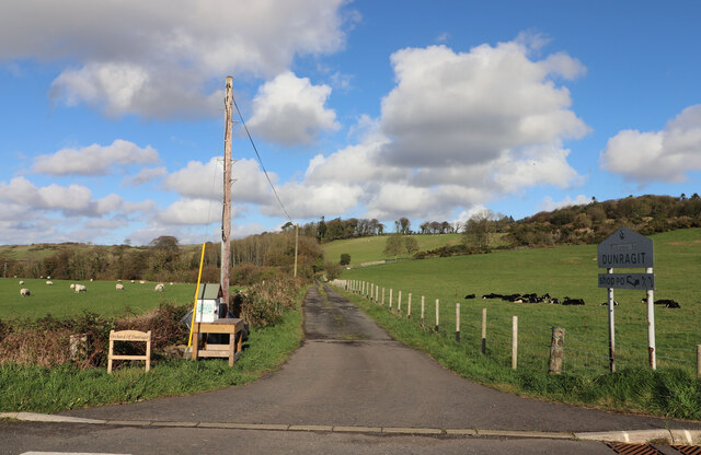
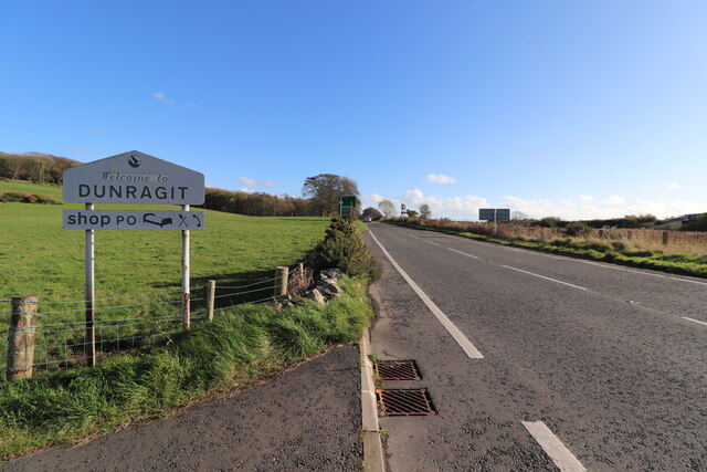
Dunragit
Dunragit (Scottish Gaelic: Dùn Reicheit) is a village on the A75, between Stranraer and Glenluce in Dumfries and Galloway, south-west Scotland. Dunragit...

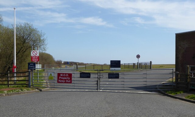
RAF West Freugh
RAF West Freugh is a former Royal Air Force station located in Wigtownshire, 5 miles (8 km) south east of Stranraer, Dumfries and Galloway, Scotland. It...
Nearby Amenities
Located within 500m of 54.865213,-4.9126907Have you been to Laight Yard Plantation?
Leave your review of Laight Yard Plantation below (or comments, questions and feedback).