Big Plantation
Wood, Forest in Wigtownshire
Scotland
Big Plantation
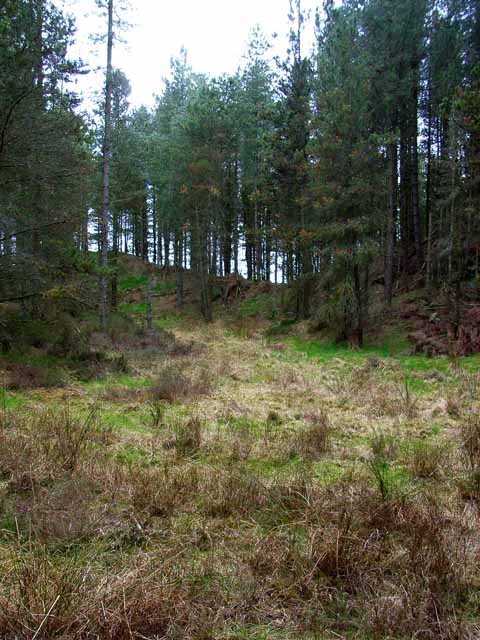
Big Plantation, Wigtownshire is a vast woodland area located in the southwestern region of Scotland. Covering an expansive area of approximately 500 acres, this plantation is renowned for its diverse range of tree species and stunning natural beauty.
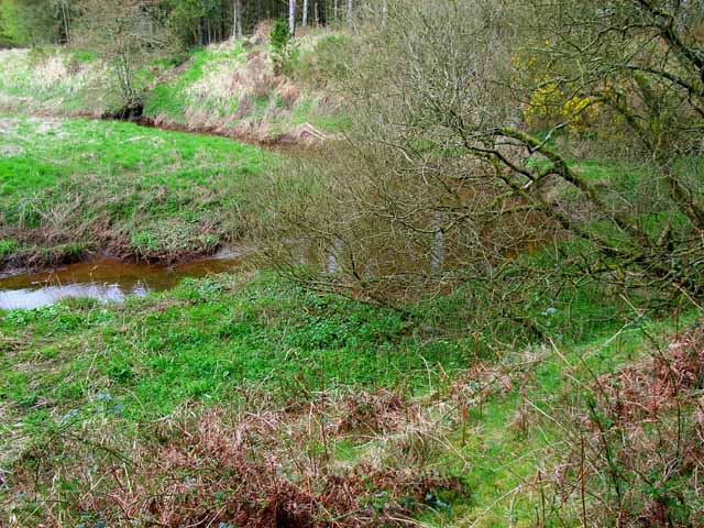
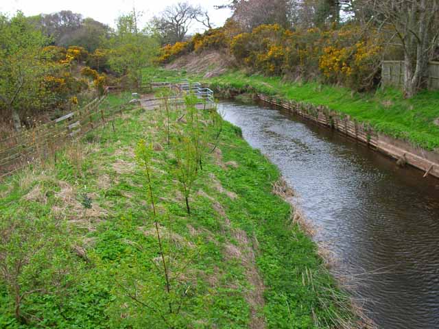
Nestled amidst the picturesque countryside, Big Plantation is a haven for nature enthusiasts and outdoor adventurers alike. The woodland boasts a rich and varied ecosystem, consisting of ancient oak, beech, and pine trees, along with a myriad of flora and fauna. The lush greenery and tranquil atmosphere make it an idyllic retreat for those seeking solace in nature.
Visitors to Big Plantation can explore its numerous walking trails, which wind through the thick foliage and offer breathtaking views of the surrounding landscape. The diverse terrain caters to all levels of hikers, from leisurely strolls to more challenging treks. Along the way, one may encounter native wildlife such as deer, foxes, and a variety of bird species, making it a paradise for wildlife enthusiasts and photographers.
In addition to its natural beauty, Big Plantation also serves as an important habitat for conservation efforts. The Woodland Trust, in collaboration with local authorities, actively manages the plantation to preserve and enhance its ecological value. This includes tree planting initiatives, maintenance of pathways, and ongoing research to protect the woodland's biodiversity.
With its captivating scenery and commitment to environmental preservation, Big Plantation, Wigtownshire, stands as a testament to Scotland's natural heritage. Whether for a leisurely walk, a bird-watching expedition, or simply a peaceful retreat into nature, this woodland offers a truly immersive and unforgettable experience.
If you have any feedback on the listing, please let us know in the comments section below.
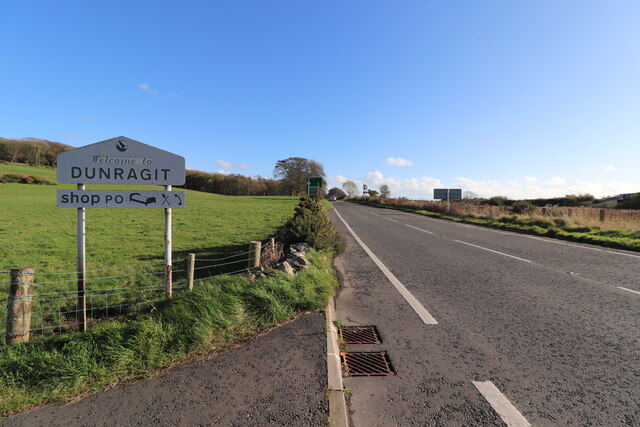
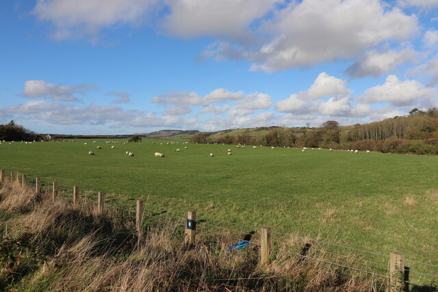
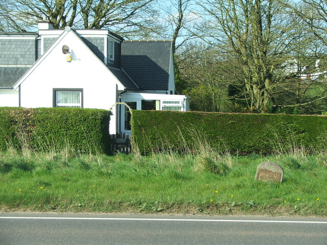
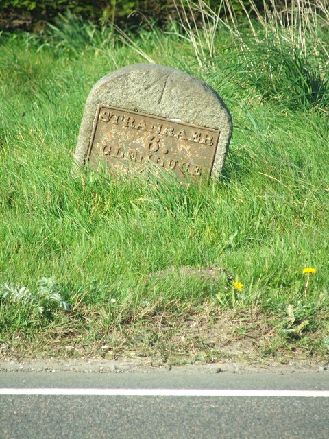
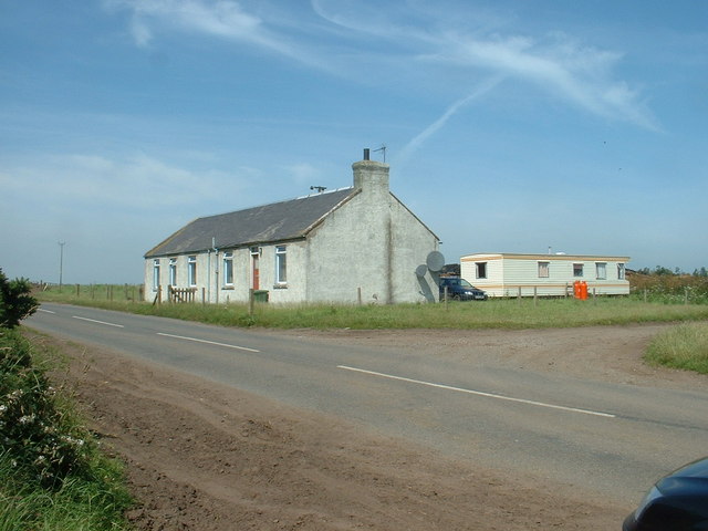
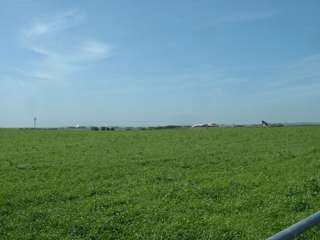
Big Plantation Images
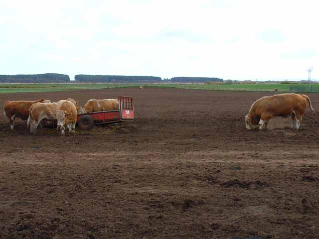
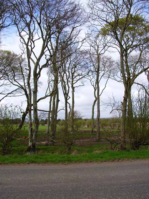
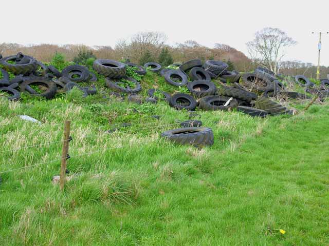
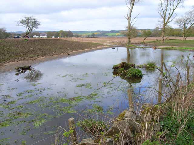
Images are sourced within 2km of 54.86417/-4.9085785 or Grid Reference NX1356. Thanks to Geograph Open Source API. All images are credited.
Big Plantation is located at Grid Ref: NX1356 (Lat: 54.86417, Lng: -4.9085785)
Unitary Authority: Dumfries and Galloway
Police Authority: Dumfries and Galloway
What 3 Words
///lighter.culminate.noses. Near Stranraer, Dumfries & Galloway
Nearby Locations
Related Wikis
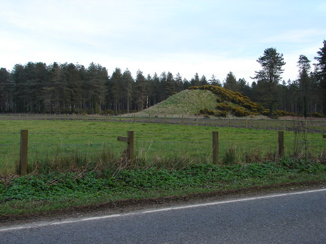
Droughdool Mote
Droughdool Mote (also spelled Droughduil) (grid reference NX 14823 56865) is a Neolithic round mound in the parish of Old Luce, Wigtownshire, Dumfries...

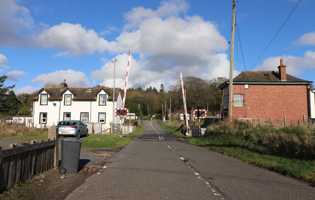
Dunragit railway station
Dunragit railway station served the village of Dunragit, Dumfries and Galloway, Scotland from 1861 to 1965 on the Portpatrick and Wigtownshire Joint Railway...

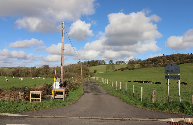
Dunragit
Dunragit (Scottish Gaelic: Dùn Reicheit) is a village on the A75, between Stranraer and Glenluce in Dumfries and Galloway, south-west Scotland. Dunragit...

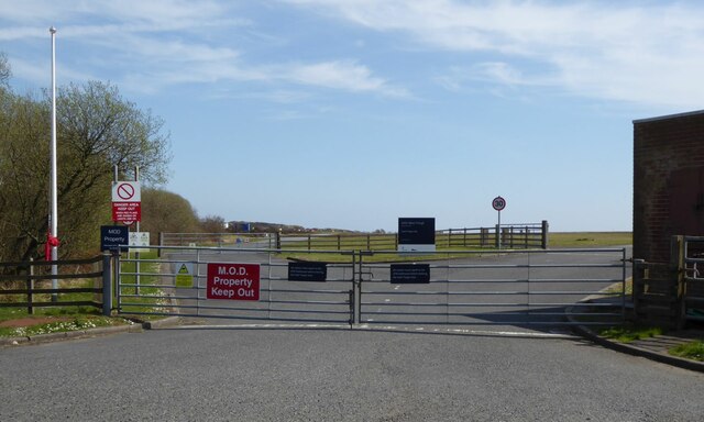
RAF West Freugh
RAF West Freugh is a former Royal Air Force station located in Wigtownshire, 5 miles (8 km) south east of Stranraer, Dumfries and Galloway, Scotland. It...
Nearby Amenities
Located within 500m of 54.86417,-4.9085785Have you been to Big Plantation?
Leave your review of Big Plantation below (or comments, questions and feedback).